Gorgany
Ґорґани
Gorgany is a mountain range in the Outer Eastern Carpathians. It lies in Ukraine. Elevation ranges from 418 to 1,803 m over about 3,401 km².
- Elevation
- 418–1,803 m
- Area
- ≈ 3,401 km²
- Countries
- Ukraine
- Part of
- Outer Eastern Carpathians
On the map
Waymarked trails · 232
 ModerateOne-dayMarkedVorokhta Mount Kukulvia Perehslyp tractElevation profile740–1 538 m11.7 kmascent 792 m≈ 4.5 h walking
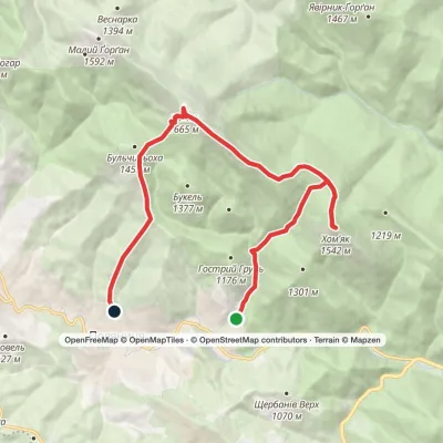 ModerateOne-dayPolianytsia village loopvia Mount Khomiak, Mount SyniakElevation profile866–1 662 m14.1 kmascent 1 036 m≈ 5.5 h walking
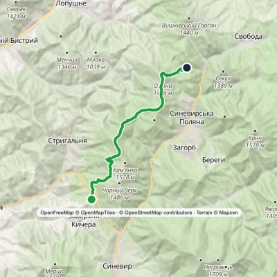 ModerateTwo-dayMarkedSynevyr Pass Lake Synevyrvia Mount OzernaElevation profile851–1 521 m17 kmascent 1 092 m≈ 6.5 h walking
 ModerateOne-dayMarkedPolianytsia village loopvia Mount SyniakElevation profile971–1 665 m11.9 kmascent 839 m≈ 4.5 h walking
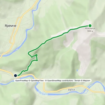 EasyOne-dayMarkedYaremche Mount MakovytsiaElevation profile555–980 m5.1 kmascent 30 m≈ 1.5 h walking
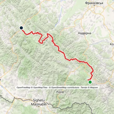 HardMulti-dayMarkedEast Carpathian Tourist TrailElevation profile643–1 828 m278.1 kmascent 8 209 m
 ModerateOne-dayMarkedTatariv village loopvia Mount KhomiakElevation profile788–1 483 m10.2 kmascent 633 m≈ 4 h walking
 EasyOne-dayYaremche loopvia Dovbush RocksElevation profile533–750 m7.1 kmascent 182 m≈ 2 h walking
 EasyOne-dayMarkedZhynets tract road to Bukovelvia Khomiakiv polonynaElevation profile779–1 352 m7.7 kmascent 556 m≈ 3 h walking
Peaks · 82
 PeakMount Velyka SivulyaOsmolodaaltitude 1 836 m · Gorgany range25 trails to the topMount Velyka Syvulia (or simply - Syvulia) is the highest peak of the Horhan massif.
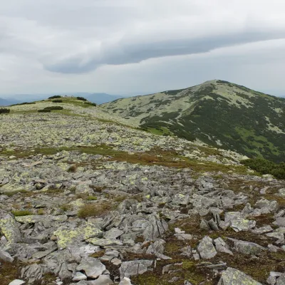 PeakMount Mala SivulyaBystrytsiaaltitude 1 815 m · Gorgany range25 trails to the topMount Mala Syvulya, 1815 meters high, is located next to the Velyka Syvulya on the Syvulyansky ridge.
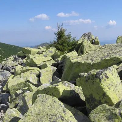 PeakMount IgrovetsStara Hutaaltitude 1 804 m · Gorgany range19 trails to the topMount Igrovets is located on the Igrovyshche ridge and is the third highest peak in the Horhan mountain range (after...
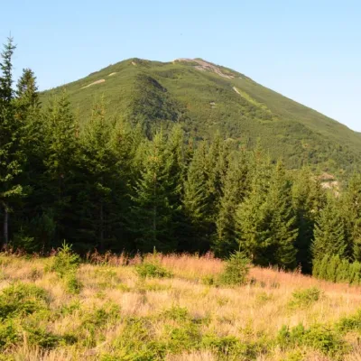 PeakGora VysokaStara Hutaaltitude 1 803 m · Gorgany range18 trails to the topMount Vysoka (1803.6 m) is one of the peaks of the Ukrainian Carpathians, located in the Gorgan mountain range.
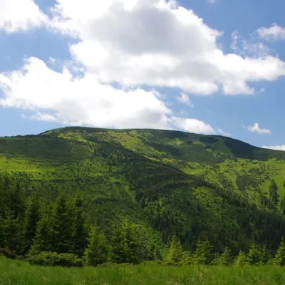 PeakMount BratkivskaBystrytsiaaltitude 1 788 m · Gorgany range19 trails to the topMount Bratkivska is a peak in the Ukrainian Carpathians, 1788 m high (some sources give other data - 1792 m).
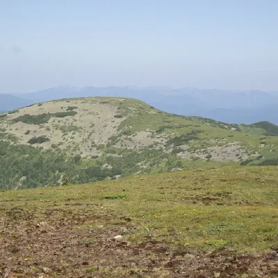 PeakMount HropaBystrytsiaaltitude 1 759 m · Gorgany range10 trails to the topMount Gropa (height - 1759 m (according to other sources - 1763 m)) is a peak in the Ukrainian Carpathians, located...
What to see · 78
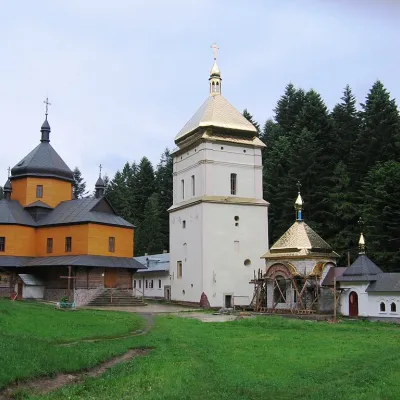 ArchitectureManyavskyi SkitManiavaThe oldest Orthodox monastery in the Carpathians, Manyavskyi Skit, is located just behind the village and has earned...
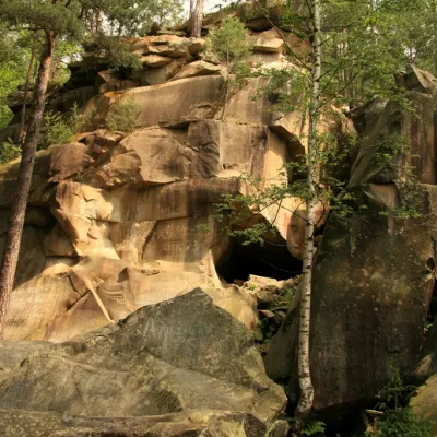 NatureDovbush trail in YaremcheYaremcheIn the Ukrainian Carpathians, there are many sites named after the leader of the Oprishka, Oleksa Dovbush: Dovbush...
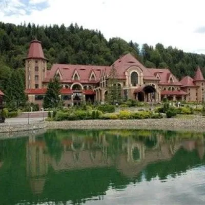 ArchitectureResidence Synihora, GutaStara HutaThe State Organization "Residence "Synihora" is the residence of the President of Ukraine in the Carpathian massif of...
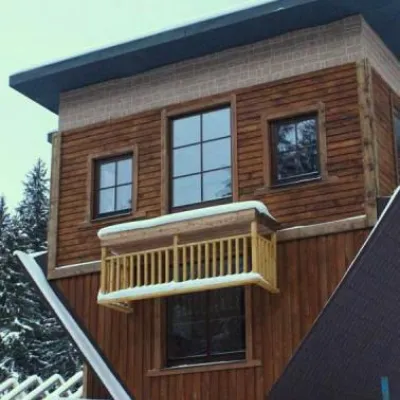 Architecture"Perevernuty Khata" PolyanytsiaPolianytsia (Bukovel)On the way to the ski resort "Bukovel", you can see an unusual architectural structure – the Perevernuty Khata in...
 WaterfallManyavsky WaterfallManiavaManyavsky Waterfall is a true wonder that deserves the attention of every traveler, one of the highest in the...
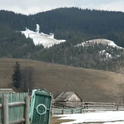 NatureKryvopillia Pass, KryvopilliaKryvopilliaKryvopillia Pass is one of the most difficult passes in the Ukrainian Carpathians.
Craft and local food · 39
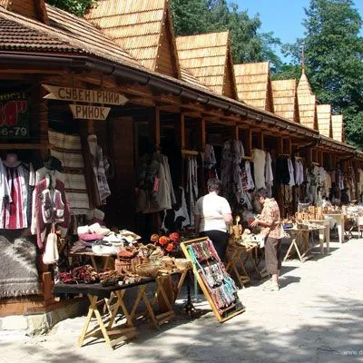 Markets & fairsHutsul souvenir market, YaremcheYaremcheYaremche is undoubtedly the center of Hutsul crafts, and everyone knows it.
 Water parks & thermal poolsMAVKA water park, BukovelPolianytsia (Bukovel)MAVKA water park is Bukovel's largest indoor water park and one of the most modern in Ukraine.
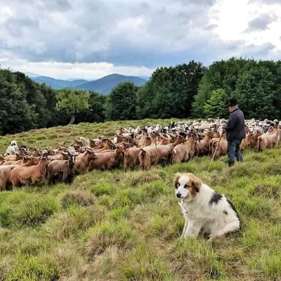 Cheese dairies & pasturesVivcharskyi Khutir Sheep Farm, Synevyrska PolianaSynevyrska Polyana"Vivcharskyi Khutir" ("Shepherd's Homestead") is an ethno-centre and sheep farm in Synevyrska Poliana, near Lake...
Huts and shelters · 147
AllMountain shelter on Polonyna KhomiakivHut below Mount Kin-HrofetskyiHut on Polonyna ShuvarenkaMountain shelter “Pasichanka 2”Hut near Polonyna YavirnykLoggers' house at LopushnaMountain shelter on Mount PasichankaHut on Polonyna PloskaHut on Polonyna StaikyShepherds' hut on Polonyna LevkovetsForester's hut by the Mshana river on the way to Lake RosokhanForester's hut by the Maniavka riverMountain shelter “Yasnovets”Hut on Polonyna NegrovaHut on Polonyna KosharkyHut “Rafailovets”Hut on Polonyna PlistseMountain shelter below Mount Yaiko Ilemske
Springs · 253
AllSpring “Zholoby”Suvy springSource of the Chorna Tysa (spring)Kruhla springSpring “Vabrianka”Spring “Yamka”Zhinka springSpring below Mount Serednia (2)Spring below Mount Moloda (2)Vabrianka headwaters springSpring below Mount NehrovetsYalytsia springSpring “Hrotso”Stream water below Mount NehrovaSpring below Mount Koretvyna (2)Spring (Maniava)Spring “Two Brooks”Spring below Mount Boiaryn (2)
© EEA (CC BY 4.0) · GMBA Mountain Inventory v2 (CC BY 4.0) · © OpenStreetMap contributors (ODbL)
