Watershed Ridge
Вододільний хребет
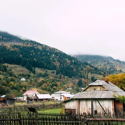
Watershed Ridge is a mountain range in the Outer Eastern Carpathians. It lies in Ukraine. Elevation ranges from 416 to 1,589 m over about 1,116 km².
- Elevation
- 416–1,589 m
- Area
- ≈ 1,116 km²
- Countries
- Ukraine
- Part of
- Outer Eastern Carpathians
On the map
Waymarked trails · 16
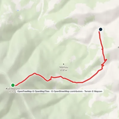 EasyOne-dayMount Zhyd-Mahura Izky villageElevation profile619–1 513 m6.9 kmascent 103 m≈ 2 h walking
 HardMulti-dayVolovets to Skotarske villagevia Borzhava polonyna, Shypit WaterfallElevation profile493–1 596 m29.6 kmascent 1 537 m≈ 10.5 h walking
 ModerateOne-dayVolovets loopvia Mount BozevaElevation profile445–1 083 m17.1 kmascent 678 m≈ 5.5 h walking
 ModerateTwo-dayMarkedBystrytsia village Mount Velyka BratkivskaElevation profile737–1 787 m15.8 kmascent 119 m≈ 4 h walking
 ModerateTwo-daySynevyrska Poliana village to Hycha polonynavia Svoboda villageElevation profile859–1 285 m16.8 kmascent 457 m≈ 5 h walking
 ModerateTwo-dayMarkedBystrytsia village loopvia Mount HropaElevation profile867–1 757 m14.9 kmascent 880 m≈ 5.5 h walking
 EasyOne-dayMarkedSvoboda Hycha polonynaElevation profile923–1 285 m5.7 kmascent 39 m≈ 1.5 h walking
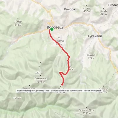 ModerateTwo-dayVolovets loopvia Mount PlaiElevation profile484–1 332 m16.4 kmascent 842 m≈ 6 h walking
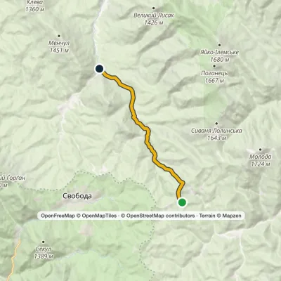 EasyOne-dayMarkedHycha BeskydElevation profile810–1 285 m9.6 kmascent 6 m≈ 2.5 h walking
Peaks
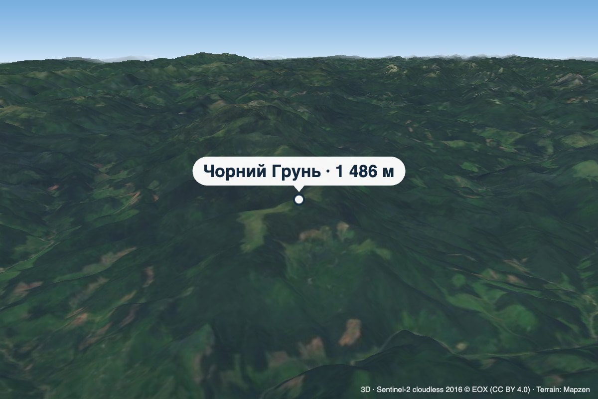 PeakMount Chornyi HrunChorna Tysaaltitude 1 486 m · Gorgany rangeChornyi Hrun is a 1,486 m mountain in the Gorgany, at the south-eastern end of the Bratkivskyi Ridge.
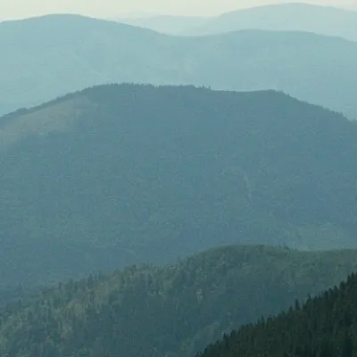 PeakBig MeglaSvobodaaltitude 1 305 m · Svydovets rangeMount Velyka Mehla (also known as Velykyi Mehlyn) is one of the highest peaks in Transcarpathia, located in western...
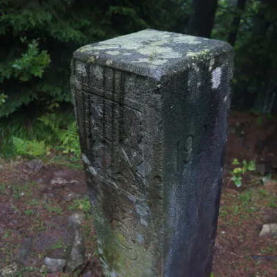 PeakMount PantyrBystrytsiaaltitude 1 213 m · Gorgany rangePantyr is a mountain in the south-eastern Gorgany, on the border of the Nadvirna district (Ivano-Frankivsk Oblast)...
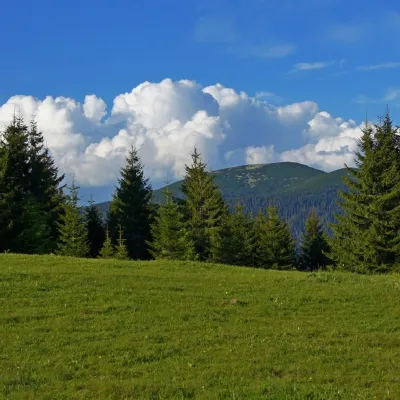 Mountain meadowPolonyna HychaSvobodaPolonyna Hycha is a cozy meadow in the Ukrainian Carpathians, located in the Rozhniativ district of Ivano-Frankivsk...
What to see · 11
 RiverLimnytsia River landscape reserve of local importanceOsmolodaThe area of the reserve is 2440 hectares. The Limnytsia River is a source of clean water and has favorable conditions...
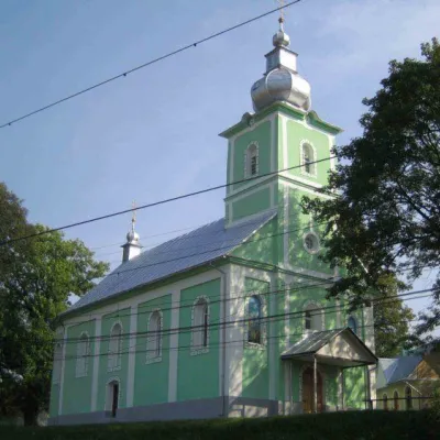 ChurchHoly Ascension Church, VolovetsVolovetsThe Holy Ascension Church of Volovets, which is currently the property of the Orthodox community belonging to the...
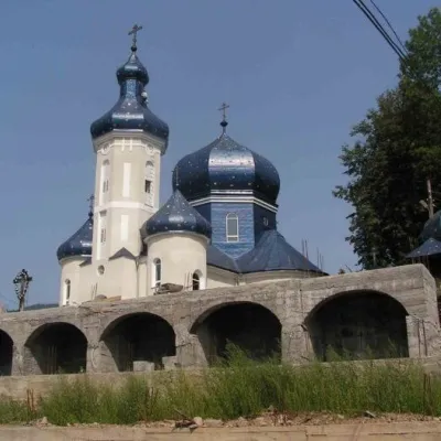 ChurchChurch of Peter and Paul, MizhhiriaMizhhiriaBuilt in the mid-thirties of the last century, the Church of Peter and Paul has been radically renovated in recent...
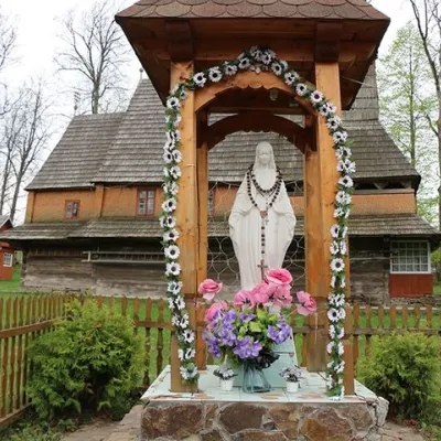 ChurchChurch of the Nativity of the Blessed Virgin Mary, PylypetsPylypetsOne of them is the wooden Church of the Nativity of the Blessed Virgin Mary, which is located in the village of...
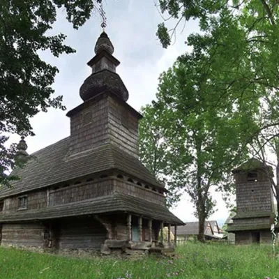 ChurchChurch of the Holy Spirit, HuklyvyiHuklyvyiTheChurch of the Holy Spirit is a wooden church located in the village of Huklyvyi, Volovets district,...
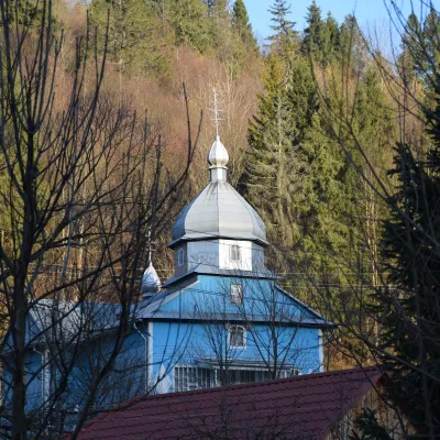 ChurchChurch of the Presentation of the Blessed Virgin Mary (new and old), RoztokaRoztokaThe Church of the Presentation of the Blessed Virgin Mary is a wooden church located in the village of Roztoka,...
Craft and local food · 4
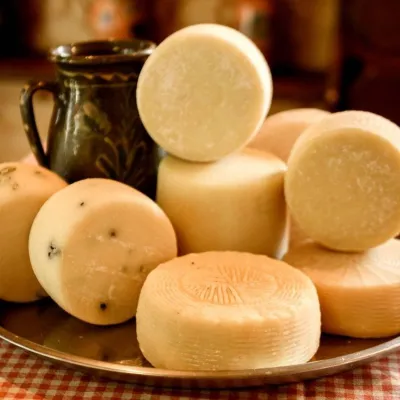 Cheese dairies & pasturesIZKI Highland Cheese Dairy, IzkyIzkyThe IZKI cheese dairy is the culinary highlight of the eco-resort of the same name in the village of Izky, Zakarpattia.
 Cheese dairies & pasturesBilasovytsi Cheese Dairy, BilasovytsiaBilasovytsiaBilasovytsi Cheese Dairy is a small family dairy in the Transcarpathian village of Bilasovytsia, set at about 600...
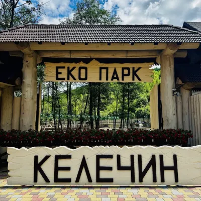 Wildlife parks & animal farmsKelechyn Eco Park, KelechynKelechynKelechyn Eco Park is a small petting park in the village of Kelechyn in Zakarpattia, on the road from Mizhhiria...
Huts and shelters · 22
AllHut below Mount PikuiHut (Lubnya)Hut beyond Nyzhnie villagePicnic shelter (Stuzhytsia, 2)Weather shelter (Karpatske)Weather shelter (Sianky)Picnic shelter (Sianky)Weather shelter below Mount Bozeva (2)Picnic shelter (Sianky, 2)Weather shelter (Latirka)Weather shelter (Bilasovytsia)Weather shelter (Shcherbovets)Weather shelter (Lubnya)Weather shelter below Mount Bozeva (3)Weather shelter below Mount BozevaPicnic shelter (Uzhok)Picnic shelter (Stavne)Weather shelter (Uzhok)
Springs · 70
AllSpring (Uzhok, 4)Source of the Uzh (spring)Unofficial source of the San (spring)Spring below Mount BozevaSpring (Bilasovytsia, 5)Borehole 1, a local hydrological natural monumentSpring (Stuzhytsia, 2)Spring (Stuzhytsia, 6)Spring (Karpatske, 12)Spring (Lubnya)Spring (Stuzhytsia, 5)Spring below Mount KremenetsSpring (Karpatske, 4)Spring (Bilasovytsia, 2)Spring (Sianky, 2)Spring (Karpatske, 6)Spring (Karpatske, 2)Spring (Uzhok, 6)
© EEA (CC BY 4.0) · GMBA Mountain Inventory v2 (CC BY 4.0) · © OpenStreetMap contributors (ODbL)
