Chornohora
Чорногора
Chornohora is the highest ridge of the Ukrainian Carpathians, with six summits above 2,000 m: Hoverla (2,061 m), Brebeneskul, Pip Ivan with the «White Elephant» observatory, and Petros. The main ridge follows the former Polish–Czechoslovak border with its old boundary stones; lakes Nesamovyte and Brebeneskul lie below.
- Elevation
- 476–2,061 m
- Highest summit
- Hoverla, 2,061 m
- Area
- ≈ 662 km²
- Countries
- Ukraine
- Part of
- Outer Eastern Carpathians
On the map
Waymarked trails · 212
 ModerateOne-dayZaroslyak base to Mount Shpytsivia Lake NesamovyteElevation profile1 261–1 930 m9 kmascent 778 m≈ 4 h walking
 ModerateTwo-dayMarkedZaroslyak base loopvia Mount Hoverla, Lake NesamovyteElevation profile1 242–2 054 m16.9 kmascent 1 058 m≈ 6.5 h walking
 ModerateOne-dayMarkedYasinia Mount PetrosElevation profile627–2 017 m12.5 kmascent 1 386 m≈ 6 h walking
 ModerateTwo-dayMarkedKozmeshchyk loopvia Mount HoverlaElevation profile868–2 053 m15.3 kmascent 1 176 m≈ 6 h walking
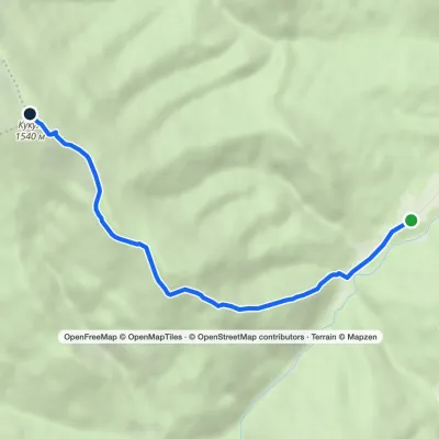 EasyOne-dayMarkedHoverla checkpoint (Zavoiela) Mount KukulElevation profile900–1 541 m4.8 kmascent 638 m≈ 2.5 h walking
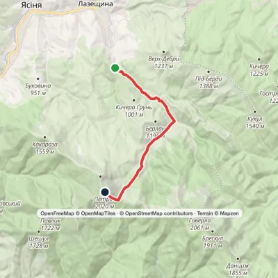 ModerateOne-dayMarkedKozmeshchyk Mount PetrosElevation profile751–2 013 m12.5 kmascent 1 242 m≈ 5.5 h walking
 EasyOne-dayMarkedZaroslyak base Mount HoverlaElevation profile1 266–2 054 m3.7 kmascent 753 m≈ 2.5 h walking
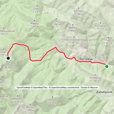 ModerateOne-dayBystrets village Mount ShpytsiElevation profile750–1 782 m12.5 kmascent 1 028 m≈ 5 h walking
 ModerateOne-dayMarkedDzembronia village Mount Pip Ivan ChornohirskyiElevation profile819–2 016 m10.2 kmascent 1 216 m≈ 5 h walking
Peaks · 44
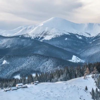 PeakMount HoverlaVorokhtaaltitude 2 061 m · Chornohora range109 trails to the topMount Hoverla has a difficult route and you need to prepare for the climb in advance.
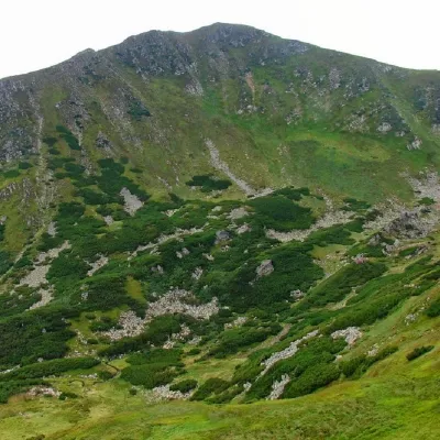 PeakMount BrebeneskulBystretsaltitude 2 035 m · Chornohora range71 trails to the topMount Brebeneskul is the second highest peak in the Ukrainian Carpathians after Hoverla (2061 m), located in the...
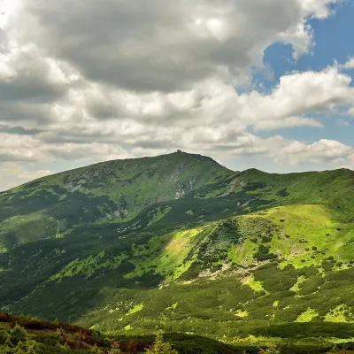 PeakMount Pip Ivan of Chornohora (Pip Ivan, Black Mountain)Dzembroniaaltitude 2 028 m93 trails to the topPip Ivan Chornohirsky (also known as "Pip Ivan" and "Black Mountain") is the third highest mountain (2028 m) after...
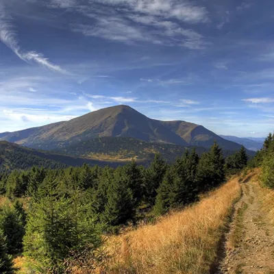 PeakMount PetrosYasinyaaltitude 2 020 m · Chornohora range92 trails to the topMount Petros is the fourth highest (2020 m) peak of the Ukrainian Carpathians after Hoverla (2061), Brebeneskul (2035...
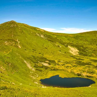 PeakMount Gutin TomnatikBystretsaltitude 2 016 m · Chornohora range79 trails to the topHutyn Tomnatyk is one of the highest and most beautiful peaks of the Ukrainian Carpathians.
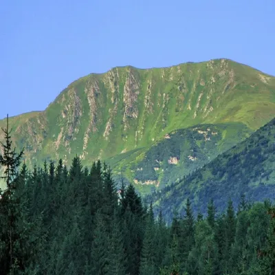 PeakMount RebraBystretsaltitude 2 001 m · Chornohora range91 trails to the topMount Rebra, with a height of 2001 meters, is located in the central part of the Chornohora ridge.
What to see · 10
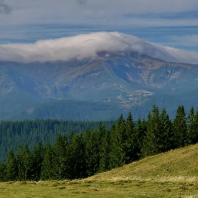 NatureKostrich RidgeKryvopilliaThe ridge is located in the Verkhovyna district and is a well-known tourist attraction in the Carpathians.
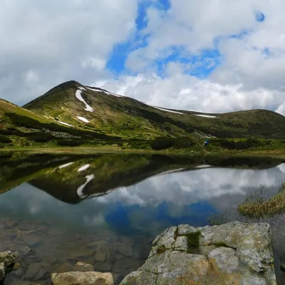 LakeHigh-mountainous Lake Nesamovite (1750 m.a.s.l., Chornohora ridge)VorokhtaNesamovyte is one of the highest lakes in the Ukrainian Carpathians (1750 m above sea level).
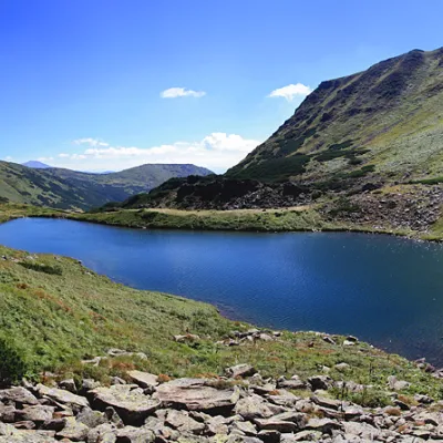 LakeLake BrebeneskulLuhyBrebeneskul is the highest mountain lake in the Ukrainian Carpathians (1801 m above sea level), a hydrological...
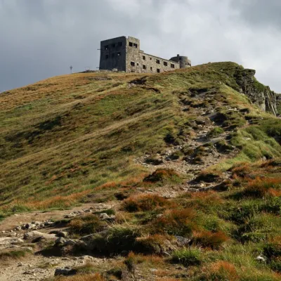 ArchitectureThe White Elephant Observatory on Mount Pip Ivan ChornohirskyDzembroniaThe construction of the White Elephant Observatory on Mount Pip-Ivan Chornohirsky(the route along the Chornohirsky...
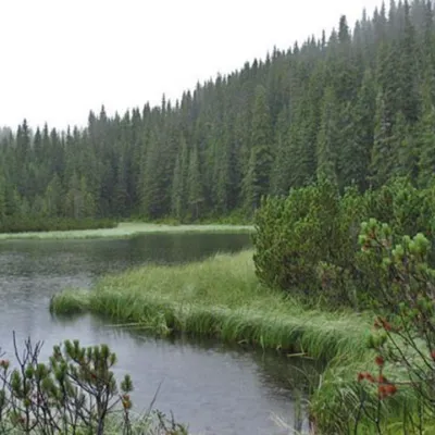 LakeLake MaricheykaYavirnyk (Shybene)Lake Maricheyka is one of the most picturesque high-altitude glacial lakes in the Carpathians, located on the...
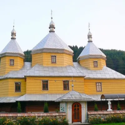 ChurchChurch of the Assumption of the Blessed Virgin Mary, RoztokyRoztokyTheChurch of the Assumption of the Blessed Virgin Mary in the village of Roztoky, Chernivtsi Oblast, was built in...
Craft and local food
Huts and shelters · 157
AllHut on Polonyna Vesnarka (4)Mountain shelter on Polonyna MenchulShepherds' hut on Polonyna KukulHut on Polonyna HryhorivkaMountain shelter at KomenHut on Polonyna Hryhorivka (2)Hut “Hungarian Rocks”Hut at LoshchynaHut on Polonyna Bolota (2)Cabin “The Dairy”Hut on Polonyna TurkulskaEco point “Peremychka” (hut)Hut on Polonyna Vesnarka (5)Forester's hut on Polonyna MykhailovaHut on Polonyna LukvytsiaHut on Polonyna ShysaShepherds' hut on Polonyna OzirnaHut on Polonyna Serednia
Springs · 243
AllMineral spring “Burkut-2”Spring “Yarek”Spring (Kryvopillia, 6)Spring (Kryvopillia, 13)Spring (Kryvopillia, 7)Dovbush's WellSpring (Kryvopillia, 8)Spring (Iltsi, 2)Spring below Mount Hoverla (5)Mineral spring “Burkut-1”Spring (Kryvopillia, 16)Spring below Mount Hutyn TomnatykMineral spring “Burkut” (6)Spring (Kryvopillia, 19)Spring (Topilche, 2)Spring (Zelene)Spring below Mount Turkul (5)Spring (Yasinya, 9)
© EEA (CC BY 4.0) · GMBA Mountain Inventory v2 (CC BY 4.0) · © OpenStreetMap contributors (ODbL)
