Mount Petros
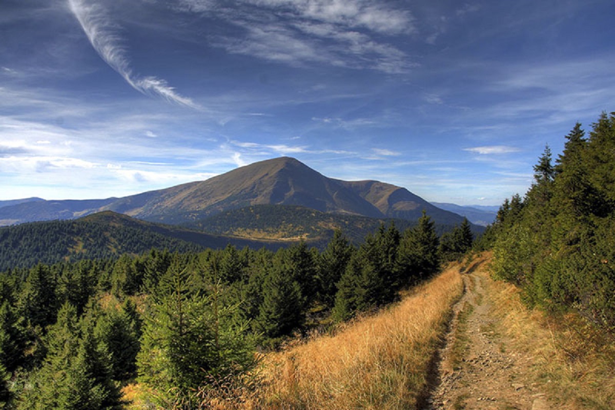
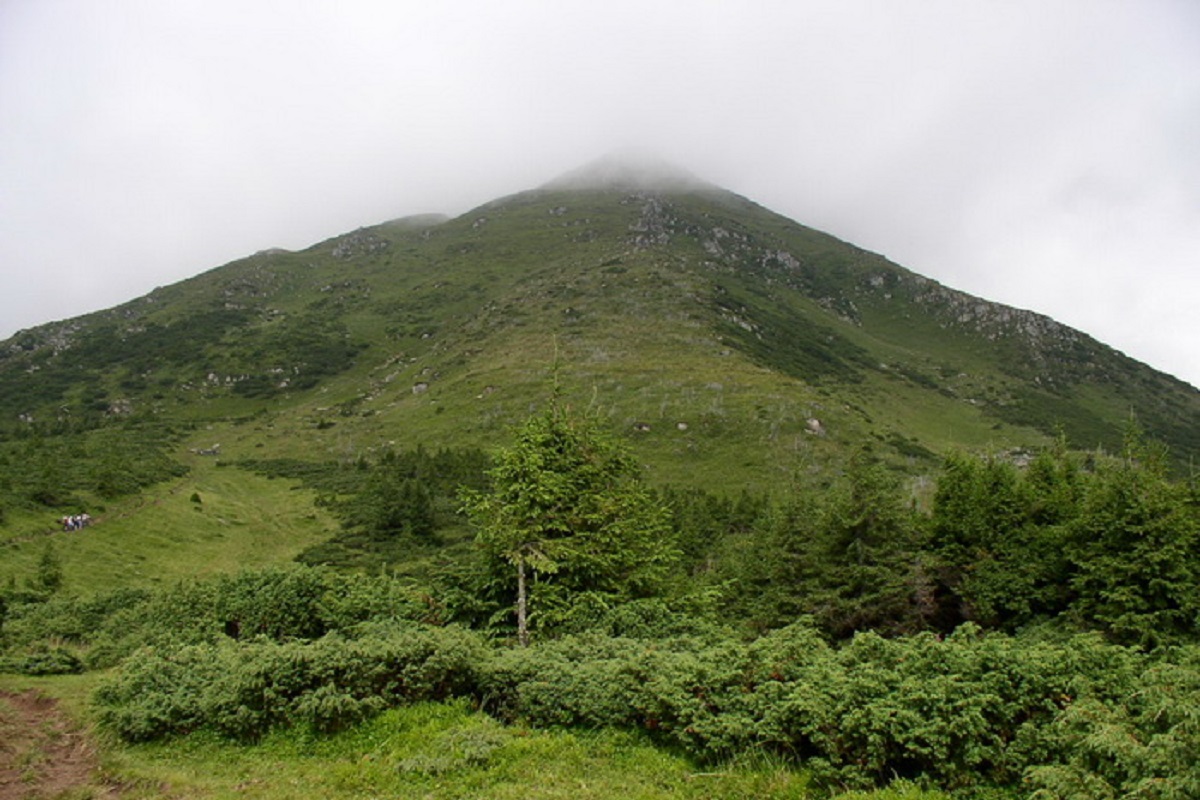
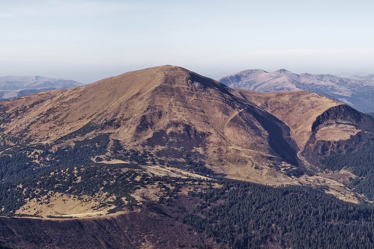

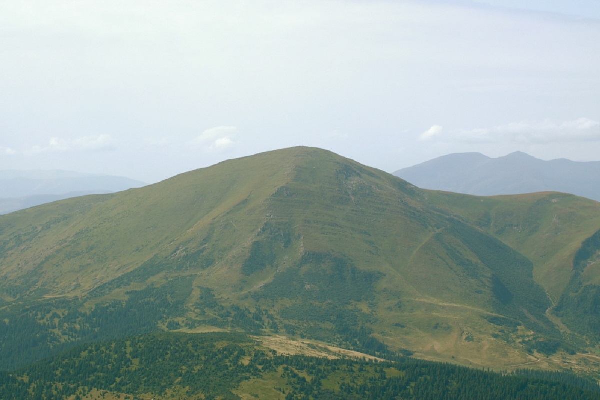
Mount Petros is the fourth highest (2020 m) peak of the Ukrainian Carpathians after Hoverla (2061), Brebeneskul (2035 m) and Pop Ivan Chornohirsky (2028 m). It is located in Rakhiv district of Zakarpattia region.
Petros, being one of the highest mountains in the Montenegrin mountain range, is one of the most popular hiking destinations, visited by thousands of outdoor enthusiasts every year.
The mountain is located in the northwestern part of Chornohora: to the southwest of Petros is Mount Sheshul, to the east is Hoverla.
The southwestern and western slopes of the peak are very steep with a lot of stone scree and placers, while the northeastern and northern slopes are steep, impassable, with numerous rocky ledges.
The upper part of Petros is covered mainly with subalpine vegetation; blueberry thickets, juniper and rhododendron are quite common here, and up to an altitude of 1500-1600 m, there are centuries-old spruce forests.
It is worth noting that due to the fact that the slopes of Petros are very steep and precipitous, numerous avalanches are observed here in winter, so if you decide to climb at this time, you need to be very careful.
From the very top of Mount Petrosa, as well as from Hoverla, you can enjoy beautiful views in all directions of the horizon. It is from here that the main Chornohora ridge is very clearly visible - from Hoverla to Pop Ivan. Also, from Petros, you can clearly see Blyznytsia, as well as a number of meadows and peaks of the Svydovets ridge.
The closest settlements to Mount Petros, from which people often start climbing to the top, are the villages of Lazeshchyna, Yasinia, and Kvasy in the Rakhiv district of Zakarpattia region.
Location on the map
Water and shelter nearby
- Spring below Mount Petros (3)950 m · Not verified · 1 529 m
- Spring below Mount Petros (4)990 m · Not verified · 1 544 m
- Spring below Mount Petrosul (4)1.1 km · Not verified · 1 643 m
- Spring below Mount Petros (2)1.1 km · Not verified · 1 590 m
- Hut on Polonyna Holovcheska1.2 km · Standing · 1 431 m
- Spring below Mount Petros1.2 km · Not verified · 1 607 m
- Mountain shelter below Mount Petros1.2 km · Not verified · 1 404 m
- Mountain shelter below Mount Petros (2)1.3 km · Not verified · 1 403 m
- Spring below Mount Petros (5)1.3 km · Not verified · 1 411 m
- Hut below Mount Petros1.4 km · Not verified · 1 429 m
- Spring below Mount Petros (6)1.4 km · Not verified · 1 544 m
- Spring below Mount Petros (7)1.5 km · Not verified · 1 394 m
- Spring below Mount Petros (8)1.6 km · Not verified · 1 540 m
- Spring below Mount Petros (9)1.7 km · Not verified · 1 544 m
- Spring below Mount Sheshul (26)1.8 km · Not verified · 1 679 m
- Spring below Mount Sheshul (25)1.9 km · Not verified · 1 682 m
Comments
Places to stay nearby
All stays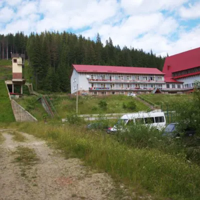 HotelTraining and Sports Base "Zaroslyak" at HoverlaVorokhta8.6 km from Mount PetrosPoolSaunaParkingNearby: Polonyna Pozhizhevska 1.2 kmMt Hoverla 2.8 km32 trails
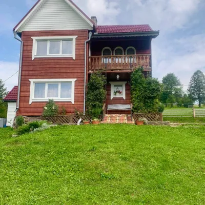 HomesteadGuest house "U Iryny"Yasinya11 km from Mount PetrosWelcome to our cozy house located in the very heart of the Carpathians. This is the perfect place for those seeking solitude, harmony with nature, and to return home...Nearby: Church of the Transfiguration 1.2 kmStrukivska Church 2.0 km40 trails
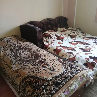 CottageHomestead "U Ivanky"Vyshkovo11 km from Mount PetrosKitchenWi‑FiNearby: Mt Sheshul 7.1 kmNyzhnyi Huk waterfall 9.2 km44 trails
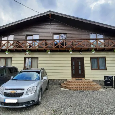 HotelCube (KUB)Kvasy11 km from Mount PetrosBBQParkingWi‑FiNearby: Mt Sheshul 7.2 kmMt Bliznytsia 8.6 km44 trails
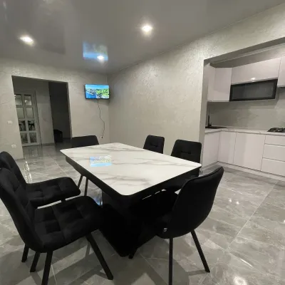 CottageCottage AzaliyaVyshkovo11 km from Mount PetrosThe Cottage Azaliya is located in the Zakarpattia region, Lazeshchyna, 14 km from Mount Hoverla and 9 km from Mount Petros.Nearby: Church of the Transfiguration 2.8 kmMt Petrosul 9.7 km31 trails
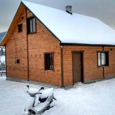 CottageCottage "Ozernyi" LazeshchynaLazeshchyna9.5 km from Mount PetrosSaunaBBQKitchenNearby: Church of the Transfiguration 3.3 kmMt Petrosul 8.4 km32 trails
Trails via Mount Petros
All 92 HardMulti-dayMarkedTranscarpathian Tourist TrailElevation profile198–2 031 m393.2 kmascent 30 283 m
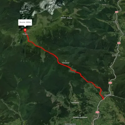 ModerateOne-dayUnmarkedYasinia Mount PetrosElevation profile631–2 023 m12.5 kmascent 1 467 m≈ 6 h walking
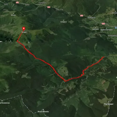 ModerateOne-dayUnmarkedKozmeshchyk Mount PetrosElevation profile753–2 002 m12.5 kmascent 1 319 m≈ 6 h walking
Nearby attractions
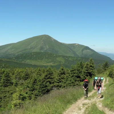 PeakMount PetrosulYasinyaaltitude 1 855 m · Chornohora range1 km from Mount Petros91 trails to the topPetrosul is an 1855-meter peak of the Ukrainian Carpathians, which is the "neighboring mountain" of Petros, as it is located "at arm's length" from it (in the northern...
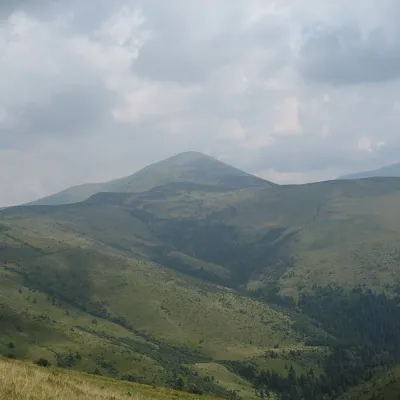 Mountain meadowPolonyna RognieskaKvasyaltitude 1 429 m · Chornohora range2.5 km from Mount PetrosRognieska is a meadow on the Chornohora mountain range (Ukrainian Carpathians), in the Rakhiv district of Zakarpattia region.
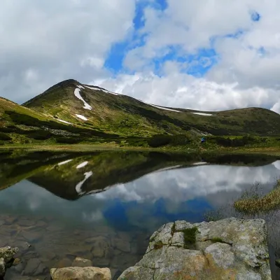 LakeHigh-mountainous Lake Nesamovite (1750 m.a.s.l., Chornohora ridge)Vorokhta10 km from Mount PetrosNesamovyte is one of the highest lakes in the Ukrainian Carpathians (1750 m above sea level). It is located within the Nadvirna district of Ivano-Frankivsk region.