Mount Petrosul
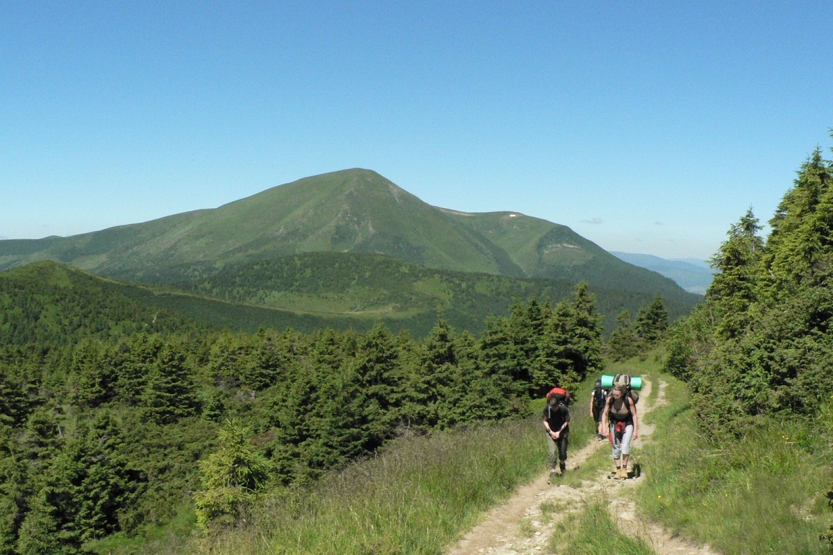
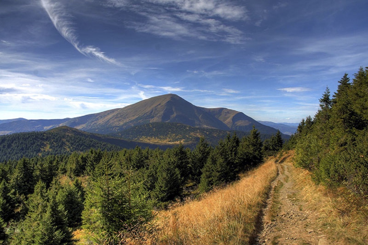
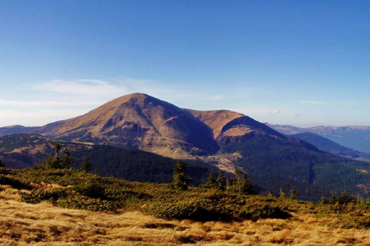
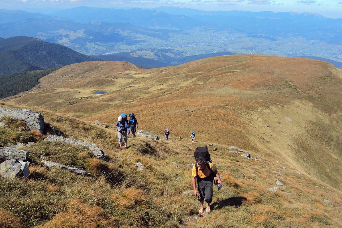
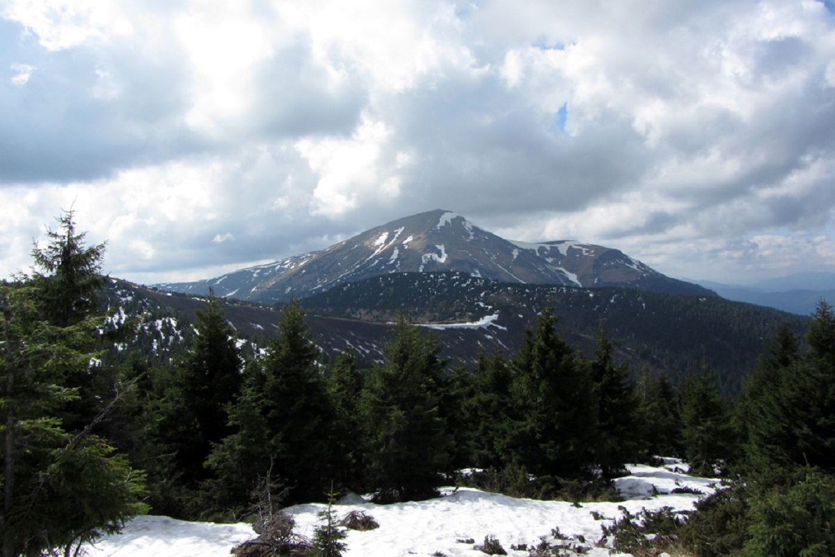
Petrosul is an 1855-meter peak of the Ukrainian Carpathians, which is the "neighboring mountain" of Petros, as it is located "at arm's length" from it (in the northern direction).
Mount Petrosul is located in Rakhiv district of Zakarpattia region in the northwestern part of the Chornohora mountain range.
The shape of Petrosul's peak is asymmetrical: the southwestern slopes are slightly hilly and gentle, while the northeastern slopes are steep and end in a ledge over 50 meters high.
The mountain is completely covered with subalpine vegetation, including rhododendrons, blueberries and other alpine fauna typical of the area.
There is only one marked tourist route through Petrosul Mountain, which leads from Yasinya to the top of Petros.
The nearest settlements are the village of Kvasy, the village of Yasinya and the village of Lazeshchyna (Rakhiv district, Zakarpattia region).
Location on the map
Water and shelter nearby
- Spring below Mount Petrosul (4)900 m · Not verified · 1 643 m
- Mountain shelter below Mount Petros1.5 km · Not verified · 1 404 m
- Mountain shelter below Mount Petros (2)1.5 km · Not verified · 1 403 m
- Spring below Mount Petros (5)1.6 km · Not verified · 1 411 m
- Hut on Polonyna Holovcheska1.6 km · Standing · 1 431 m
- Spring below Mount Petrosul (5)1.6 km · Not verified · 1 215 m
- Spring below Mount Petros (3)1.7 km · Not verified · 1 529 m
- Spring below Mount Petros (7)1.7 km · Not verified · 1 394 m
- Hut below Mount Petros1.7 km · Not verified · 1 429 m
- Spring below Mount Petros (4)1.8 km · Not verified · 1 544 m
- Spring below Mount Petrosul1.8 km · Not verified · 1 450 m
- Hut on Polonyna Pechenizheska1.9 km · Not verified · 1 271 m
- Spring below Mount Petrosul (2)1.9 km · Not verified · 1 293 m
- Spring below Mount Petros (2)2 km · Not verified · 1 590 m
- Spring below Mount Petros2.1 km · Not verified · 1 607 m
- Spring below Mount Petrosul (3)2.1 km · Not verified · 1 193 m
Comments
Places to stay nearby
All stays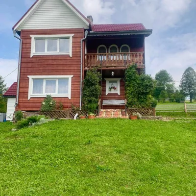 HomesteadGuest house "U Iryny"Yasinya9.5 km from Mount PetrosulWelcome to our cozy house located in the very heart of the Carpathians. This is the perfect place for those seeking solitude, harmony with nature, and to return home...Nearby: Church of the Transfiguration 1.2 kmStrukivska Church 2.0 km40 trails
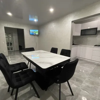 CottageCottage AzaliyaVyshkovo9.7 km from Mount PetrosulThe Cottage Azaliya is located in the Zakarpattia region, Lazeshchyna, 14 km from Mount Hoverla and 9 km from Mount Petros.Nearby: Church of the Transfiguration 2.8 kmMt Petrosul 9.7 km31 trails
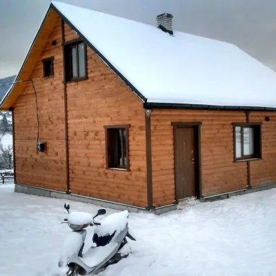 CottageCottage "Ozernyi" LazeshchynaLazeshchyna8.4 km from Mount PetrosulSaunaBBQKitchenNearby: Church of the Transfiguration 3.3 kmMt Petrosul 8.4 km32 trails
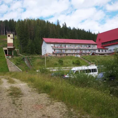 HotelTraining and Sports Base "Zaroslyak" at HoverlaVorokhta8.9 km from Mount PetrosulPoolSaunaParkingNearby: Polonyna Pozhizhevska 1.2 kmMt Hoverla 2.8 km32 trails
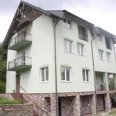 HotelHotel "Perelaz" LazeshchynaLazeshchyna9 km from Mount PetrosulSaunaBBQParkingNearby: Church of the Transfiguration 1.8 kmStrukivska Church 4.2 km40 trails
 CottageHomestead "U Ivanky"Vyshkovo11 km from Mount PetrosulKitchenWi‑FiNearby: Mt Sheshul 7.1 kmNyzhnyi Huk waterfall 9.2 km44 trails
Trails via Mount Petrosul
All 91 HardMulti-dayMarkedTranscarpathian Tourist TrailElevation profile198–2 031 m393.2 kmascent 30 283 m
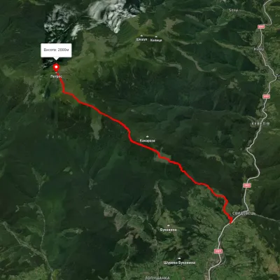 ModerateOne-dayUnmarkedYasinia Mount PetrosElevation profile631–2 023 m12.5 kmascent 1 467 m≈ 6 h walking
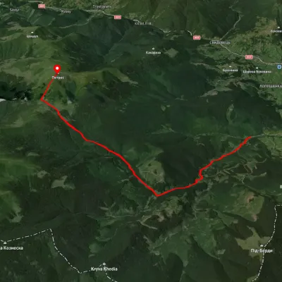 ModerateOne-dayUnmarkedKozmeshchyk Mount PetrosElevation profile753–2 002 m12.5 kmascent 1 319 m≈ 6 h walking
Nearby attractions
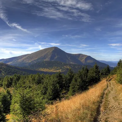 PeakMount PetrosYasinyaaltitude 2 020 m · Chornohora range1 km from Mount Petrosul92 trails to the topMount Petros is the fourth highest (2020 m) peak of the Ukrainian Carpathians after Hoverla (2061), Brebeneskul (2035 m) and Pop Ivan Chornohirsky (2028 m).
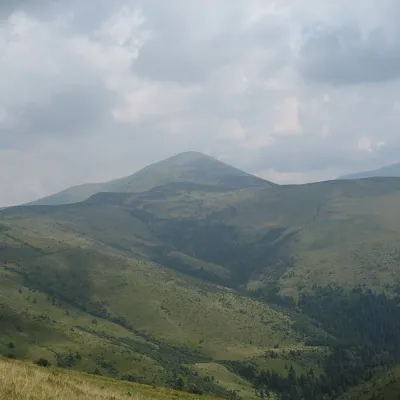 Mountain meadowPolonyna RognieskaKvasyaltitude 1 429 m · Chornohora range3.4 km from Mount PetrosulRognieska is a meadow on the Chornohora mountain range (Ukrainian Carpathians), in the Rakhiv district of Zakarpattia region.
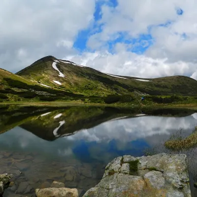 LakeHigh-mountainous Lake Nesamovite (1750 m.a.s.l., Chornohora ridge)Vorokhta11 km from Mount PetrosulNesamovyte is one of the highest lakes in the Ukrainian Carpathians (1750 m above sea level). It is located within the Nadvirna district of Ivano-Frankivsk region.