Ukrainian Carpathians - a fabulous land in the center of Europe



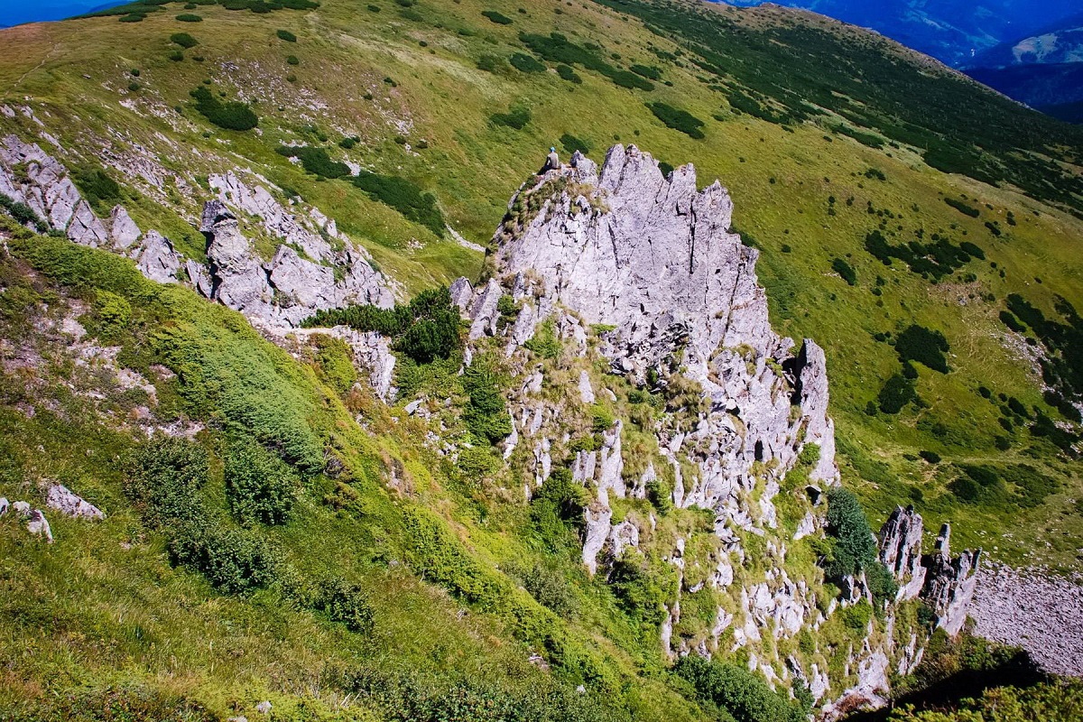
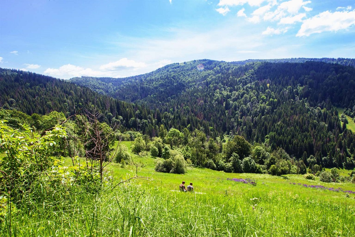
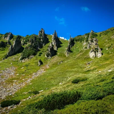
Ukrainian Carpathians... The mere sound of this name gives rise to pleasant, incomparable feelings... And this name subconsciously brings to mind a charming kolomyika singer about the majestic, unique Hutsul land with high mountains, spruce forests, green meadows, and the voice of the trembita, which seems to call to visit this incomprehensible, magical, fertile land.
Nature can be protected only when people fall in love with it,
and only because nature itself is beautiful...
And man, as you know, cannot live without beauty...
The Carpathian Mountains are located in the heart of Europe. The total length of the mountain system, which crosses Romania, Ukraine, Poland, Slovakia, the Czech Republic, Hungary, Serbia and Montenegro, is about 1.5 thousand kilometers. There are 3 main parts of the Carpathians: the Eastern, Western, and Southern Carpathians. The highest mountain is Gerlachovský Špil, 2655 meters high (located in the Slovak Tatras).

The Ukrainian Carpathians are the northwestern part of the Eastern Carpathians. Their total length is 280 km and width is 50-100 km. The area of the Ukrainian part of the Carpathian Mountains, located in Ivano-Frankivsk, Lviv, Zakarpattia and Chernivtsi regions, is about 3.7 thousand km².

It is worth noting that the Ukrainian Carpathians are much lower than the Carpathians of neighboring countries: there is no snow line and no glaciers. However, it is here that the highest peak of our country, Mt. Hoverla (2061 m), which is located on the Montenegrin ridge.


The uniqueness of the Carpathian region of Ukraine
The mountainous system of the Ukrainian Carpathians is a unique treasure trove of European significance, as it is here that there is great biodiversity, powerful natural resource potential, a high level of wildlife conservation and an original cultural heritage.

Indeed, the hilly mosaic landscapes of the foothills with vineyards and flowering gardens, subalpine alpine meadows, dense coniferous, deciduous and mixed forests are of great value and serve as a true haven for an incredible number of animals and plants.


A large part of the Carpathian region is covered by semi-natural areas, including alpine meadows and pastures - meadows, which are home to a large number of relict and endemic plant species.

The Ukrainian part of the Carpathians is only 10.3% of the total area of the mountain system. However, it is here that about 1.5 thousand objects belonging to the nature reserve fund are concentrated - nature reserves, national natural and regional landscape parks, reserves and natural monuments of national and local importance.

Ukrainian Carpathians - the main territorial units
The absolute altitudes of the Ukrainian Carpathians range from 150-400 meters above sea level (at the foot of the mountains), 500-800 meters in intermountain depressions, and 1300-2000 meters along the main ridges.

All the highest peaks of the Carpathians (over 2000 m) - Hoverla (2061 m, the highest point in Ukraine), Brebeneskul (2032 m), Pip Ivan Chornohirsky (2028 m), Petros (2020 m), Hutyn Tomnatyk (2016 m), and Rebra (2001 m) - are located on the Chornohora ridge, which lies on the border of Ivano-Frankivsk and Zakarpattia regions.

The nature of the Carpathians is represented by a rather complicated system of territorial units that create high-mountain, middle-mountain, low-mountain and foothill tiers. The most famous and popular tourist destinations are the Chornohora, Svydovets and Marmarosy mountain ranges, the Krasna, Borzhava, Polonyna-Runa, Gorgany, Eastern Beskydy and other ranges.

We will tell you about each mountain system, its highest peaks and popular hiking routes in our next articles. Subscribe to the news on our Facebook page.
Video
 Карпатський національний природний паркVasyliuk Oleksii
Comments
Places from the article
 PeakMount BrebeneskulBystretsaltitude 2 035 m · Chornohora range71 trails to the topBrebeneskul (2035 m) is the second highest mountain in Ukraine, in the middle of the main Chornohora ridge.
 PeakMount Gutin TomnatikBystretsaltitude 2 016 m · Chornohora range79 trails to the topGutin Tomnatik (2016 m) is the fifth highest mountain in Ukraine, on a south-western spur of Chornohora in the...
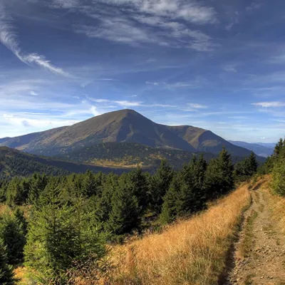 PeakMount PetrosYasinyaaltitude 2 020 m · Chornohora range92 trails to the topPetros (2020 m) is the fourth highest mountain in Ukraine, in the north-western part of Chornohora in Zakarpattia.
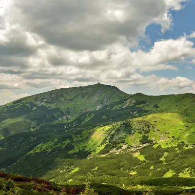 PeakMount Pip Ivan of Chornohora (Pip Ivan, Black Mountain)Dzembroniaaltitude 2 028 m93 trails to the topPip Ivan Chornohirskyi (2028 m) is the third highest mountain in Ukraine, at the south-eastern end of the Chornohora...
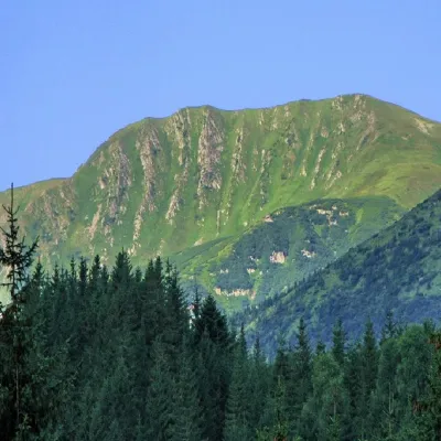 PeakMount RebraBystretsaltitude 2 001 m · Chornohora range91 trails to the topRebra (2001 m) is a peak in the central part of the main Chornohora ridge, on the border of the Ivano-Frankivsk and...
Where to stay nearby
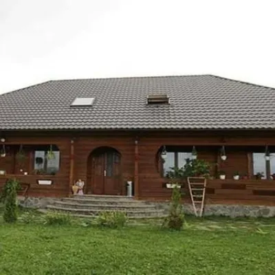 HotelPid Vukhatym KamenemDzembroniaHot tubBBQParkingfrom 1 210 UAH per night
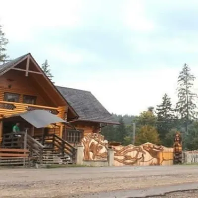 HotelBiia HoverlyVorokhtaBBQParkingWi‑Fifrom 1 320 UAH per night
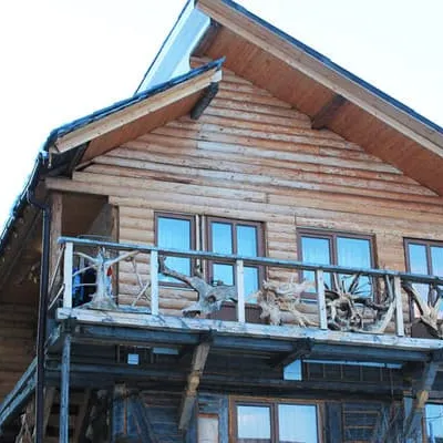 HotelU KumaLazeshchynaBBQParkingWi‑Fifrom 990 UAH per night
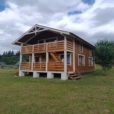 HotelU Vasylia IvanovichaVerkhovynaBBQParkingWi‑Fifrom 700 UAH per night
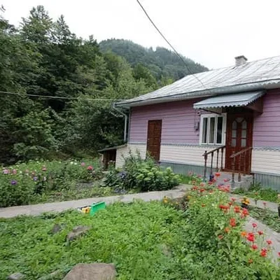 HotelU IvanaDzembroniaBBQParkingWi‑Fifrom 2 970 UAH per night
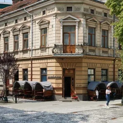 HostelLamaIvano-FrankivskParkingWi‑FiPetsfrom 575 UAH per night
Trails nearby
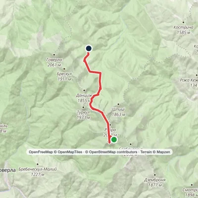 ModerateOne-dayLake Brebeneskul to Zaroslyak basevia Mount Hutyn Tomnatyk, Lake NesamovyteElevation profile1 261–1 988 m11.9 kmascent 340 m≈ 3.5 h walking
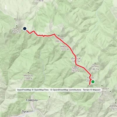 ModerateTwo-dayLake Brebeneskul to Holovcheska polonynavia Mount Hutyn Tomnatyk, Mount Rebra +1Elevation profile1 518–2 016 m16.3 kmascent 623 m≈ 5.5 h walking
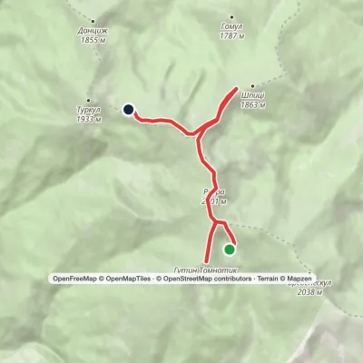 EasyOne-dayLake Brebeneskul to Lake Nesamovytevia Mount Rebra, Mount ShpytsiElevation profile1 748–2 016 m7 kmascent 367 m≈ 2.5 h walking
 ModerateTwo-dayMarkedLake Brebeneskul to Holovcheska polonynavia Mount Rebra, Lake Nesamovyte +1Elevation profile1 500–2 061 m16.7 kmascent 782 m≈ 5.5 h walking
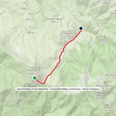 EasyOne-dayMarkedMount Petros KozmeshchykElevation profile864–2 020 m8.5 kmascent 2 m≈ 2 h walking
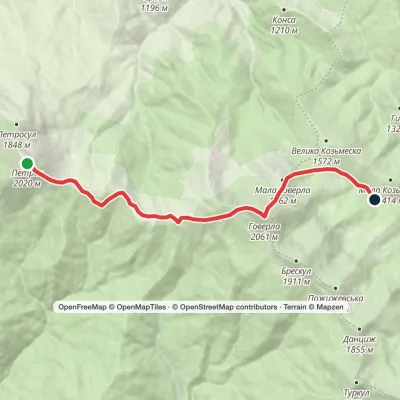 ModerateOne-dayMarkedMount Petros to Zaroslyak basevia Mount HoverlaElevation profile1 260–2 061 m10.5 kmascent 562 m≈ 3.5 h walking
You may also be interested in
All articles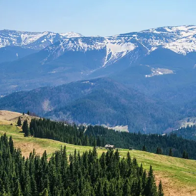 The Chornohora Mountain Range – the highest ridge of the Ukrainian CarpathiansThe Chornohora ridge is one of the most beautiful places in the Ukrainian Carpathians, attracting a huge number of outdoor enthusiasts...
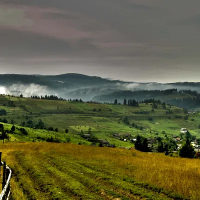 The Carpathian Mountains are a large mountain system in Central and Eastern EuropeTheUkrainian Carpathians are part of the Carpathian mountain system in western Ukraine. They are 280 km long from the headwaters of the...
 10 Carpathian routes from rescuersIf you want to get an unforgettable experience in the Carpathians, we recommend planning hiking on the following routes:Chornohora...
