Mount Gutin Tomnatik
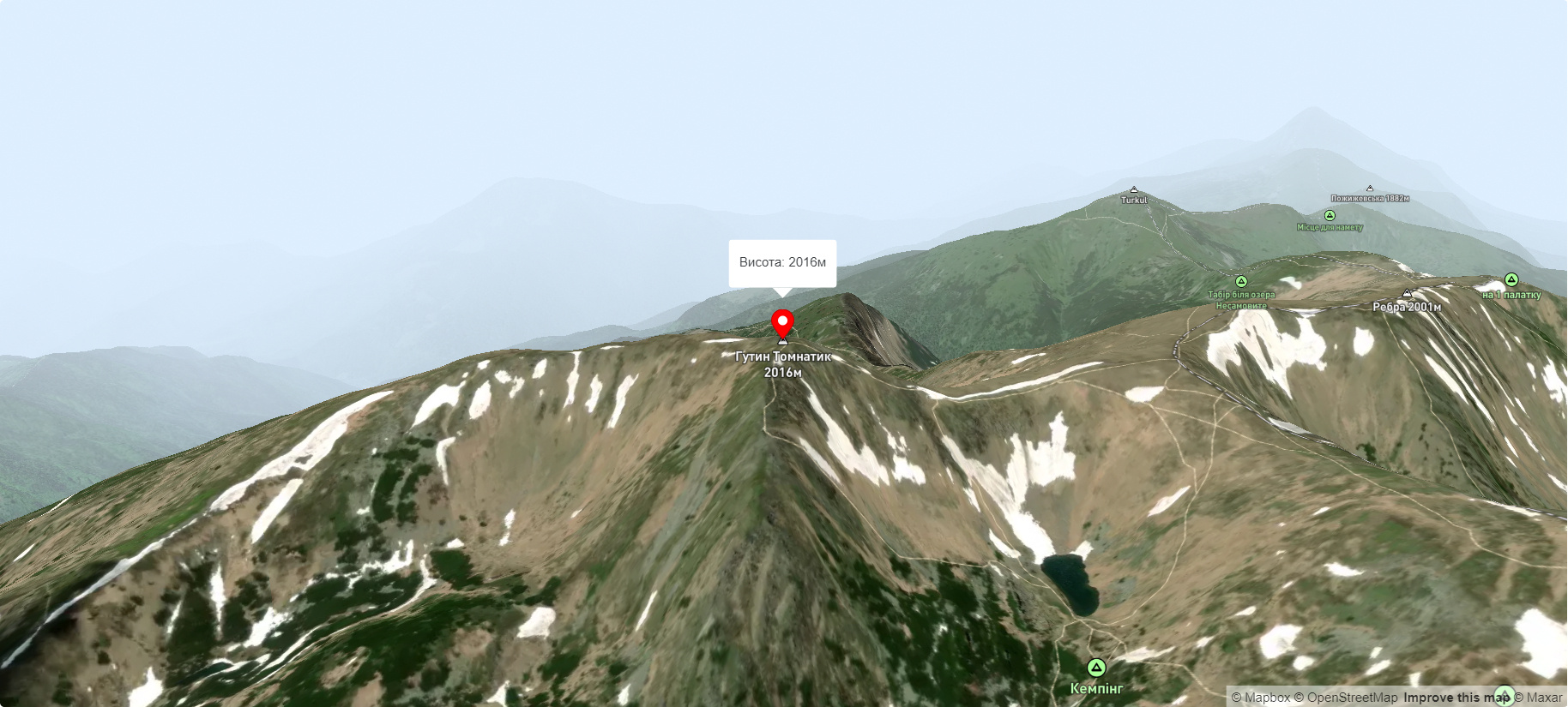
Hutyn Tomnatyk is one of the highest and most beautiful peaks of the Ukrainian Carpathians. The mountain is located on the southwestern spur of the Chornohora mountain range. The height is 2016 meters.
Hutyn Tomnatyk is located in the Carpathian Biosphere Reserve (Chornohora Protected Area) in the Rakhiv district of Zakarpattia region.
Hutyn Tomnatyk is the fifth highest peak in the Ukrainian Carpathians, second only to Hoverla (2061 m), Brebeneskul (2035 m), Pop Ivan Chornohirsky (2028 m) and Petros (2020 m).
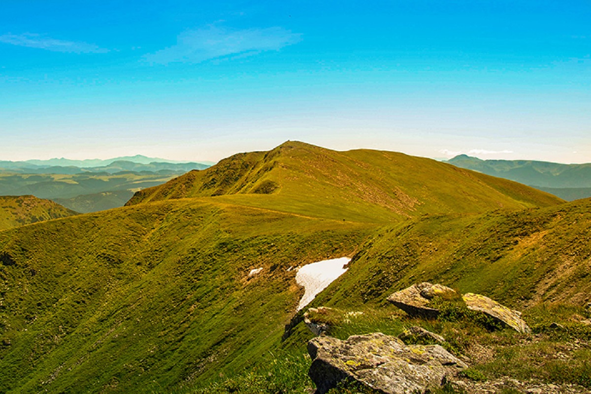
Alpine and subalpine vegetation is widespread on the slopes of the peak, most of which are very rare and relict species that grow only in this area.
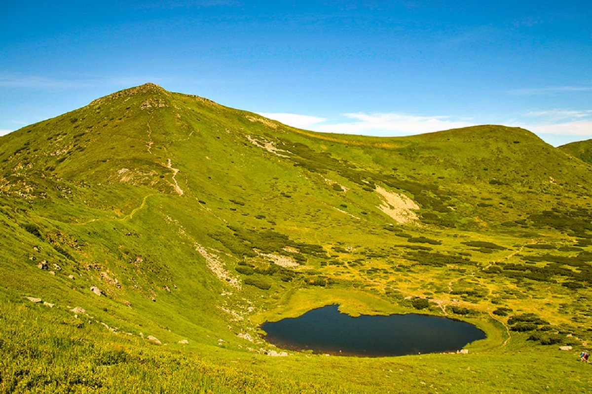
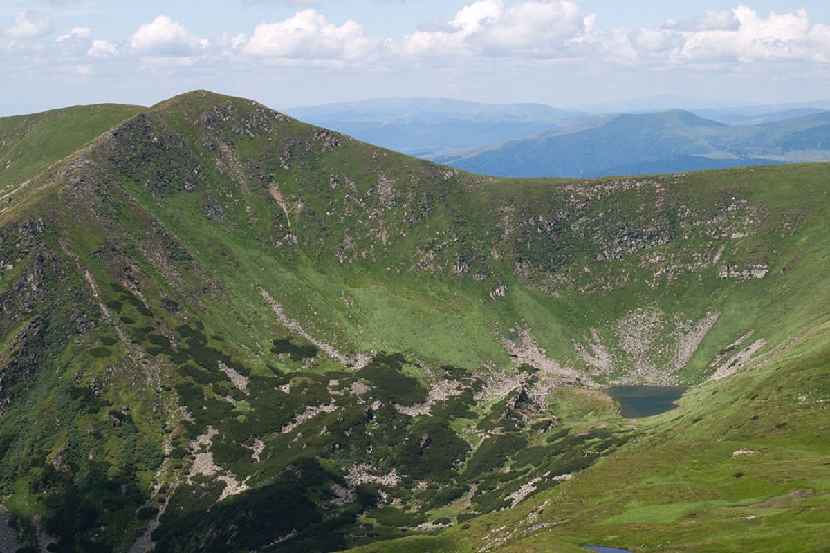
Between Gutin Tomnatik and Brebeneskul (on the northeastern slope) is the alpine Lake Brebeneskul (located in a glacial kar at an altitude of over 1800 m above sea level). To the south of the mountain is the Brebeneskaya Polonyna mountain meadow, to the east is the Brebeneskul mountain, and to the north is the Rebra mountain.
The nearest settlements to Hutyn Tomnatyk are the village of Hoverla in Zakarpattia region and the village of Bystrets in Ivano-Frankivsk region.
Accommodation around Mount Gutin Tomnatik:


Nearby hiking trails near Mount Gutin Tomnatik:
Which trails pass by Mount Gutin Tomnatik?
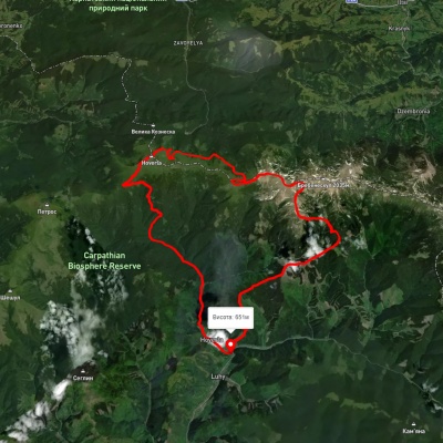
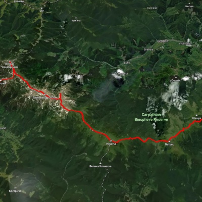
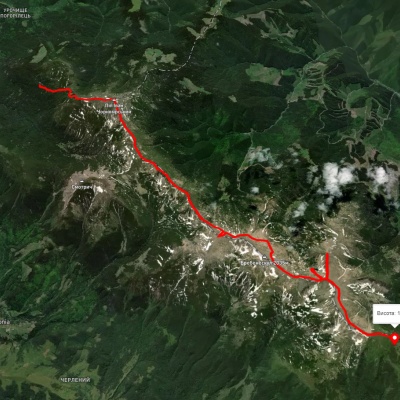
We suggest these hiking trails through or near Mount Gutin Tomnatik: Luhy village, via Mount Hutyn Tomnatyk, Lake Brebeneskul, Lake Nesamovyte and Mount Hoverla to Luhy village, Kvasy village, via Mount Petros, Mount Hoverla, Mount Breskul and Mount Pip Ivan Chornohirskyi to Dzembronia village, Vesnarka polonyna, via Mount Pip Ivan Chornohirskyi and Mount Rebra to Lake Nesamovyte, Dilove village, via Mount Pip Ivan Marmaroskyi, Mount Pip Ivan Chornohirskyi, Mount Hoverla and Mount Petros to Kvasy village, Lake Brebeneskul, via Mount Rebra and Mount Shpytsi to Lake Nesamovyte, Luhy village, via Mount Hutyn Tomnatyk, Mount Rebra, Lake Nesamovyte and Mount Pozhyzhevska to Zaroslyak base