Chyvchyn Mountains


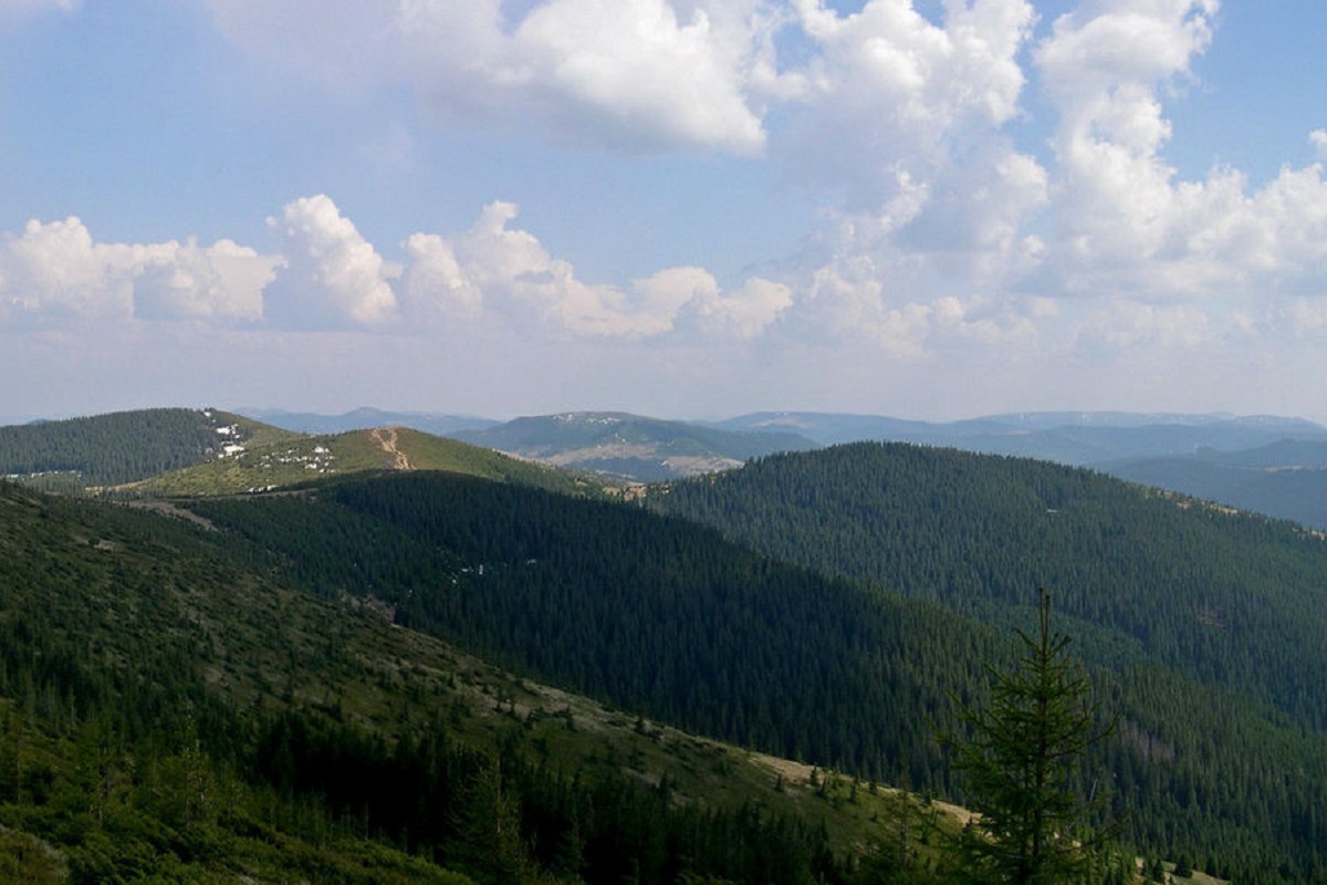
The Chyvchyn Mountains are a remote border ridge at the head of the Chornyi Cheremosh: crystalline crags, marble outcrops, meadows and Mount Chyvchyn (1,766 m) on the Romanian border. A border guard permit is required.
Geography and boundaries
The Chyvchyn Mountains, or Chyvchyny, lie in the far south of Ivano-Frankivsk Oblast, in the Verkhovyna district. Geologically they are the north-eastern part of the Maramureș massif. The ridge runs for about 40 km from north-west to south-east — from Mount Stih to Hnatasia — between the Chornyi Cheremosh valley in the north-east and the Vaser and Ruscova valleys in Romania in the south-west. To the north-west the Chyvchyns merge into the Rakhiv Mountains (Hutsul Alps); to the east, across the Chornyi Cheremosh, lie the Hryniavy. The Ukrainian–Romanian border follows the main ridge.
Short side ridges run north from the main ridge, cut by tributaries of the Chornyi Cheremosh. This is one of the least populated corners of the Ukrainian Carpathians: after the First World War state borders were drawn along the ridge, and the area has remained remote ever since.
Peaks
- Chyvchyn (1,766 m; other sources give 1,769 m) — the highest, with limestone and basalt crags;
- Komanova (1,734 m);
- Suliguli (1,688 m) and Budychevska Velyka (1,678 m);
- Lostun (1,654 m);
- Stih (1,653 m) — at the western end of the ridge, where the borders of Poland, Czechoslovakia and Romania met in 1920–1939.
Nature
Unlike the flysch ranges, the Chyvchyns are built of crystalline schist, gneiss, marble and sandstone; limestone crags break out on the slopes here and there. That is why rare lime-loving plants grow here and the relief is rocky, with traces of ancient glaciation in places.
Beech forest grows up to about 1,300 m and spruce up to 1,550 m; the dwarf scrub belt is well preserved, with meadows above. Over most of the ridge grazing has pushed the treeline down. Brown bear, lynx, red deer and capercaillie live in the forests. Part of the range belongs to Verkhovynskyi National Nature Park. The village of Burkut has mineral springs known since Austrian times.
Routes and when to go
Routes to the Chyvchyns are long: from Verkhovyna to Burkut it is a long dirt road up the Chornyi Cheremosh valley, and from Burkut or Shybene several more hours of climbing to the crest. Most people climb Chyvchyn and Komanova from Burkut or combine the Chyvchyns with the Hryniavy or with a crossing via Stih to Pip Ivan Chornohirskyi. You will need camping gear and food supplies: there are almost no shops or lodgings at the head of the Cheremosh.
The best season is July to September. Snow lies on the ridge from November to May, and the road to Burkut becomes very hard going in bad weather.
Getting there
There is no railway nearby. The nearest station is Vorokhta, from where a road leads to Verkhovyna. From there the Chornyi Cheremosh valley leads via Zelene to Shybene and Burkut; the last stretch is easier in an off-road vehicle.
Safety
The whole range lies in the border zone with Romania. A free permit from the State Border Guard Service is required; apply at least 10–15 working days ahead, and note that it is valid only on the section of the detachment that issued it. Some routes near the border are closed under martial law — check the current orders. Crossing the border on the ridge is forbidden. The area is remote, often without mobile signal, and help may be far away — hike in a group and leave your route with someone. Emergency numbers: 101 and 112.
Comments
Travellers’ experience: reports, tips, questions.
No one has reported on this trail yet. Been here lately? Tell others what it is like now.
The range on the map
Range boundary, trails, peaks, huts and springs. Neighbouring ranges are paler — click one to open it.
Waymarked trails
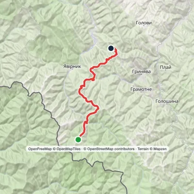 Hard1–2 daysMount Chyvchyn to Stovpni Horishni villagevia the Pnivie ridge, the Vatunarka ridge +1Elevation profile975–1 540 m32.5 kmascent 1 323 m≈ 10.5 h walking
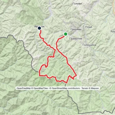 HardMulti-dayProbiinivka village to Shybene villagevia Mount Tarnytsia, Mount Pnivie +1Elevation profile797–1 766 m68.4 kmascent 2 793 m
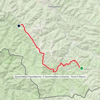 Hard1–2 daysMarkedMount Yarovytsia to the Holy Trinity Monasteryvia the Pryluchnyi ridge, Mount PnivieElevation profile955–1 599 m32.5 kmascent 1 068 m≈ 10 h walking
Peaks · 7
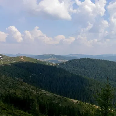 PeakMount PogrebinaKhutir Burkutaltitude 1 605 m · Hryniava Mountains range1 trail to the topPohrebina (also known as Halya Mykhailova) is a peak of the Ukrainian Carpathians, which lies within the Hryniava...
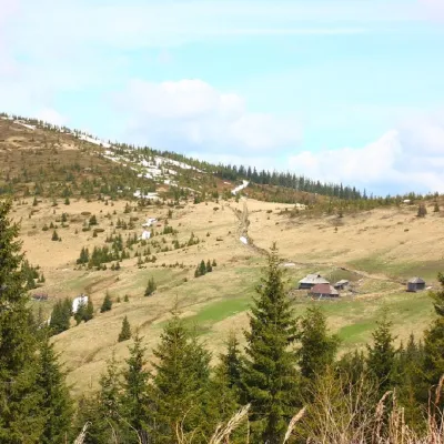 PeakMount PnivieHramotnealtitude 1 586 m · Hryniava Mountains range4 trails to the topPnivie (also known as Pnevi and Pnevie) is a 1586-meter peak in the Hryniavskyi mountain range of the Ukrainian...
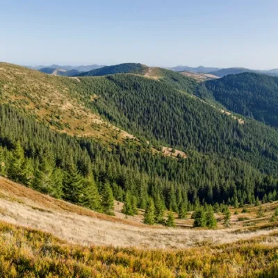 PeakMount Baba LiudovaProbiinivkaaltitude 1 582 m · Hryniava Mountains range3 trails to the topBaba Liudova (also known as Baba Ludova) is a peak on the Pneve ridge, which is located in the Hryniavsky Mountains...
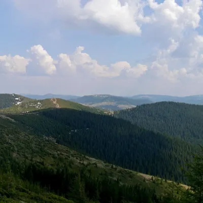 PeakMount Masny PrislipProbiinivkaaltitude 1 581 m · Hryniava Mountains range3 trails to the topMasnyi Pryslip is a peak of the Ukrainian Carpathians, which is located within the Hryniava mountain range.
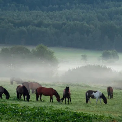 PeakMount TarnitsaProbiinivkaaltitude 1 553 m · Hryniava Mountains range2 trails to the topTarnytsia is a peak in the Hryniavskyi mountain range of the Ukrainian Carpathians.
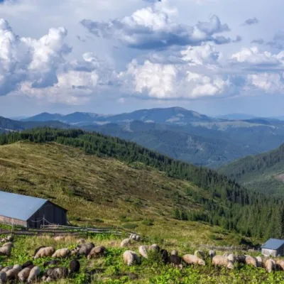 Mountain meadowPolonyna LukovytsiaVerkhovyna districtaltitude 1 477 mThe height of the meadow is more than 1300 meters above sea level. Incredible landscapes that take your breath away.
FAQ
What is the highest peak of the Chyvchyn Mountains?
Mount Chyvchyn, 1,766 m (other sources give 1,769 m), on the Romanian border.
Do I need a permit to hike in the Chyvchyns?
Yes, the range is in the border zone: you need a free permit from the State Border Guard Service, applied for 10–15 working days ahead. Some routes are closed under martial law.
Where does a hike to Chyvchyn start?
From the villages of Burkut or Shybene at the head of the Chornyi Cheremosh, reached from Verkhovyna via Zelene.
What makes the Chyvchyns special?
Crystalline crags with marble and limestone, rare plants, empty meadows and the mineral springs of Burkut.
When is the best time to go?
July to September. Snow lies on the ridge roughly from November to May.
Is the range difficult for beginners?
Yes, it is a remote area with long approaches and no infrastructure. Beginners are better off with an experienced guide.
Range boundaries: © EEA (CC BY 4.0) · GMBA Mountain Inventory v2 (CC BY 4.0) · © OpenStreetMap contributors (ODbL)
