Mount Cholakin
Cholakin (also spelled Cholakyn) is a 1,468 m summit in the Chyvchyn Mountains, in the Verkhovyna district of Ivano-Frankivsk Oblast. It lies about 1.6 km north-east of Chyvchyn (1,766 m), the highest peak of the range. The nearest settlements are the hamlet of Burkut (about 7.5 km) and Hramotne (about 10 km).
The surroundings are quiet pastures and modest summits: Dykyi Kamin (1,437 m) lies about 1.1 km to the north, Churus (1,486 m) 2.7 km to the west, Albin (1,504 m) 2.8 km to the east, and Chyvchynash (1,587 m) and Kukulyk (1,581 m) 3.2–3.5 km to the south-west. The Chyvchyn Mountains are built of crystalline schist, gneiss, marble and sandstone, and the upper tree line here mostly runs at 1,450–1,550 m — right at the level of Cholakin’s top.
How to get there
Three of our routes pass within 300 m of the summit. The closest, about 20 m away, is Mount Chyvchyn – Pniev’ie ridge – Vatunarka ridge – Baba-Liudova – Stovpni Horishni (32.5 km), a handy descent north from Chyvchyn. About 120 m from the top runs Probiinivka – Tarnytsia – Pniv’ie – Chyvchyn – Shybene (68.3 km, about 2,900 m of ascent). Our longest traverse, Dilove – Pip Ivan Marmaroskyi – Chyvchyn – Shybene – Pip Ivan (Chornohora) – Hoverla – Hoverla village (162.3 km), also passes nearby.
Water, shelter and safety
On our map a hut on the Milkova pasture stands about 230 m to the south-west, and two springs below Chyvchyn lie 340 and 530 m in the same direction (condition unknown). A hunters’ lodge below Chyvchyn is about 2.1 km to the south-west, while the hut on the Kurakova pasture (about 2.1 km to the south) is in ruins. The border with Romania runs south-west of Chyvchyn, so carry your passport and follow the instructions of the border guards. The area is far from villages and mobile coverage can drop out — tell someone your route. The nearest summit with our forecast is the weather on Pip Ivan (about 20 km). In an emergency call 112 or 101 — contacts of the nearest units are on our mountain rescue page.
Interesting facts
- The Chyvchyn Mountains stretch for about 40 km, from Stih to Hnatasia, between the Chornyi Cheremosh valley and the Vaser and Ruscova valleys.
- Neighbouring Chyvchyn is built of basalt; the Albin stream, a left tributary of the Chornyi Cheremosh, rises to the south of it.
Comments
Trails nearby
 HardMulti-dayUnmarkedMount Chyvchyn to Stovpni Horishni villagevia the Pnivie ridge, the Vatunarka ridge +1Elevation profile1 001–1 575 m32.5 kmascent 1 618 m≈ 11.5 h walkingunder 1 km from Mount Cholakin
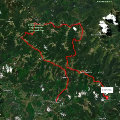 HardMulti-dayUnmarkedProbiinivka village to Shybene villagevia Mount Tarnytsia, Mount Pnivie +1Elevation profile793–1 749 m68.4 kmascent 2 917 munder 1 km from Mount Cholakin
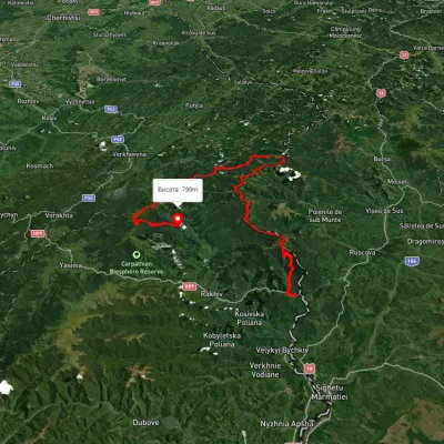 HardMulti-dayUnmarkedDilove village to Hoverla villagevia Mount Pip Ivan Marmaroskyi, Mount Chyvchyn +3Elevation profile317–2 020 m162.3 kmascent 5 379 munder 1 km from Mount Cholakin
Nearby attractions
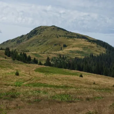 PeakMount Chivchynaltitude 1 766 m · Chyvchyny range1.6 km from Mount Cholakin2 trails to the topChyvchyn is a peak in the Ukrainian Carpathians, located in the Chyvchyn Mountains (Chyvchyn massif), which occupy the northeastern part of the Marmarosh mountain range.
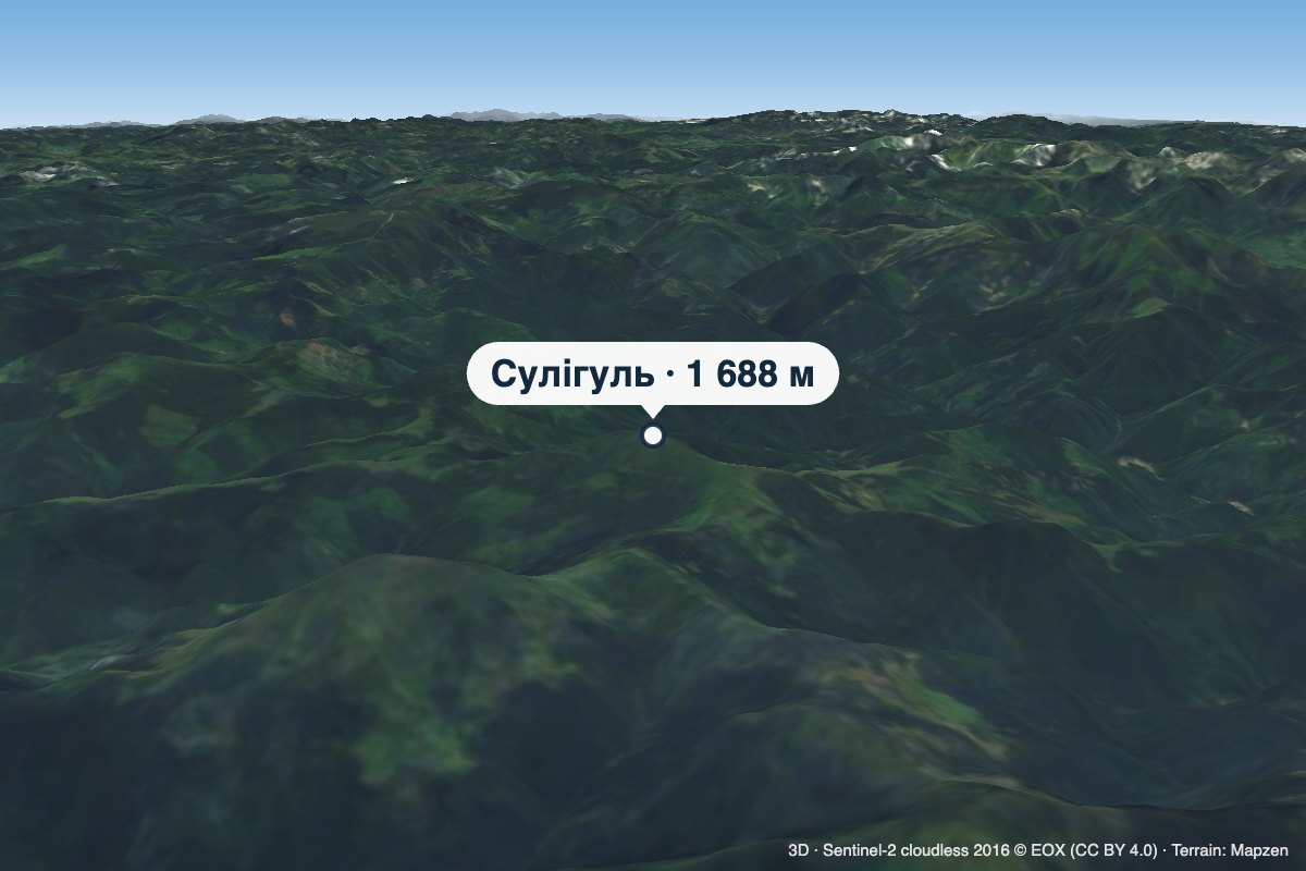 PeakMount Sulihulaltitude 1 688 m · Chyvchyny range4.1 km from Mount CholakinSulihul (also Sylyhul) is a 1,688 m peak (some sources give 1,689 m) on the main crest of the Chyvchyn Mountains, the north-eastern range of the Marmarosh Massif.
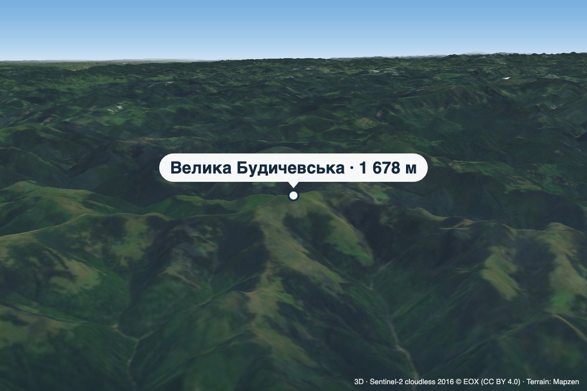 PeakMount Velyka Budychevskaaltitude 1 678 m · Chyvchyny range4.2 km from Mount CholakinVelyka Budychevska is a 1,678 m mountain (1,677.9 m exactly) on the main crest of the Chyvchyn Mountains, the north-eastern range of the Marmarosh Massif.