Red deer
About
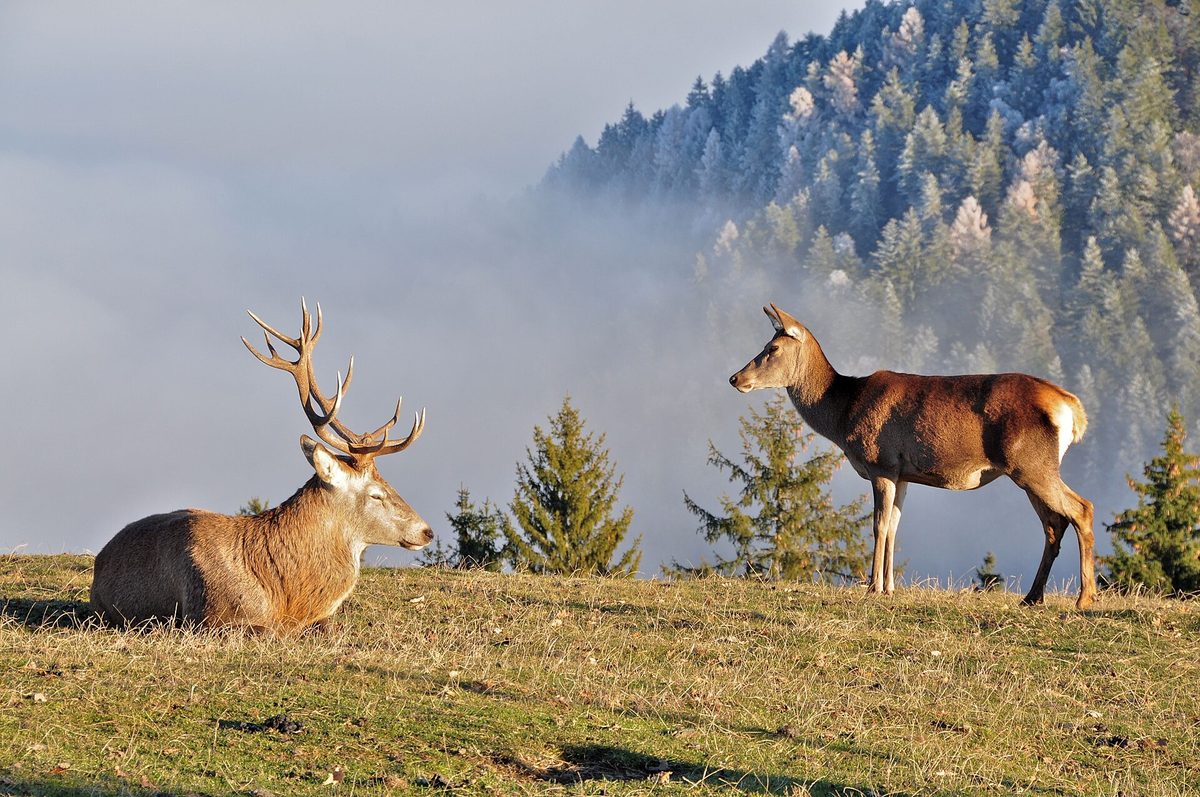
The Red deer is the largest deer in the Carpathians. Here live animals of the Carpathian population, which have long been valued for their large size and massive antlers. The deer is widespread in all Carpathian countries — from Bieszczady and Polonyny to Romania; in Ukraine, it is most often seen in the large forested areas of Zakarpattia, Prykarpattia, and Lviv region.
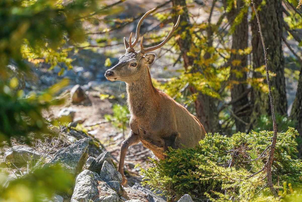
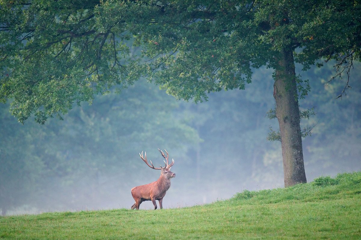
Males have wide, branched antlers, which they shed at the end of winter and regrow over the summer. Females are antlerless and smaller. In summer, their fur is reddish-brown, in winter it is gray-brown; near the tail, there is a light "mirror." Deer live in groups: females with young separately, adult males — separately or alone.
The most famous time is the rut in September — early October. Males roar at dawn and in the evening, gather harems, and clash antlers. The roar can be heard for kilometers, and it is during this time that deer are easiest to hear in the mountains. Fawns are born at the end of spring — beginning of summer.
During the day, deer hide in thickets, and they come out to graze in forest clearings, clearings, and lower edges of polonyny at dusk. The best chance is a quiet evening at the forest edge with binoculars. In the National Nature Park "Synevyr," there is also an enclosure for deer rehabilitation.
The Red deer is a game species and is not listed in the Red Book of Ukraine.
Where in the Carpathians

The map shows where naturalists recorded the species (GBIF, CC0 and CC BY records), not every place it lives. The Ukrainian Carpathians are less studied, so a blank area does not mean the species is absent.
- Countries
- Ukraine · Poland · Slovakia · Czechia · Hungary · Austria · Serbia
- Mountain ranges
- Maramureș Mountains, Chyvchyn Mountains, Hryniava Mountains, Little Beskids, Skole Beskids, Bieszczady, High Tatras, Gorgany, Sądecki Beskids, Western Tatras
- Altitude belts
- Foothills (below 600 m) · Beech forests (600–1200 m) · Conifer forests (1200–1600 m)
When to see it
| Jan | Feb | Mar | Apr | May | Jun | Jul | Aug | Sep | Oct | Nov | Dec | |
|---|---|---|---|---|---|---|---|---|---|---|---|---|
| Sightings |
From naturalists’ observations in the Carpathians (iNaturalist, research grade): the darker the cell, the more often the species is seen that month.
Safety
During the rut, males are excited and can be aggressive — do not approach them.
Protection and rules
A game species and is not listed in the Red Book of Ukraine.
FAQ
When do deer roar in the Carpathians?
During the rut — in September and early October. Males are most active in roaring at dawn and in the evening.
Are there deer in the Carpathians?
Yes, the Red deer lives in all Carpathian countries, and in Ukraine — in the large forested areas of Zakarpattia, Prykarpattia, and Lviv region.
Similar species
Where to meet it
Trails
 HardMulti-dayMarkedStara Huta village loopvia Mount Borevka, Mount Lopushna +2Elevation profile768–1 836 m27.4 kmascent 1 257 m≈ 9.5 h walking
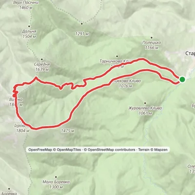 HardTwo-dayStara Huta village loopvia Mount Vysoka, Mount IhrovetsElevation profile703–1 804 m21.2 kmascent 1 269 m≈ 8 h walking
 HardMulti-dayMarkedStara Huta village to Bystrytsia villagevia Mount Vysoka, Mount Ihrovets +1Elevation profile665–1 836 m39.9 kmascent 1 918 m≈ 14 h walking
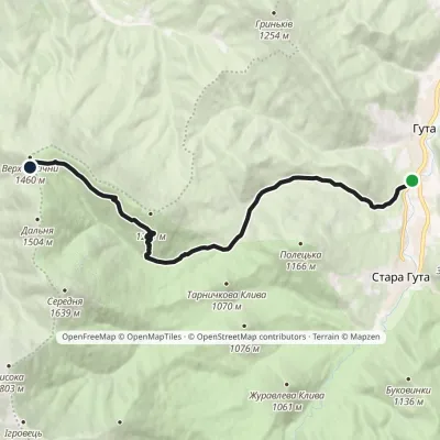 ModerateOne-dayMarkedHuta village Mount PasichnaElevation profile635–1 477 m11.4 kmascent 841 m≈ 4.5 h walking
 HardTwo-dayMarkedStara Huta village loopvia Mount Ihrovets, Borevka PassElevation profile662–1 804 m20.4 kmascent 1 205 m≈ 7.5 h walking
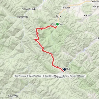 HardMulti-dayMarkedStara Huta village to Bystrytsia villagevia Mount Vysoka, Mount Ihrovets +1Elevation profile662–1 836 m41.7 kmascent 1 929 m
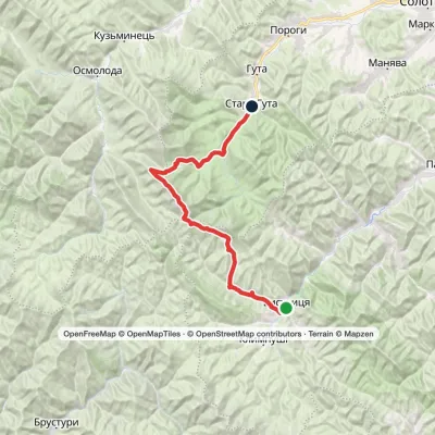 HardMulti-dayMarkedBystrytsia village to Stara Huta villagevia Mount Syvulia, Mount Lopushna +1Elevation profile659–1 836 m43.8 kmascent 1 289 m≈ 13.5 h walking
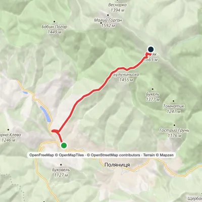 ModerateOne-dayMarkedPolianytsia village Mount SyniakElevation profile886–1 665 m6.4 kmascent 871 m≈ 3.5 h walking
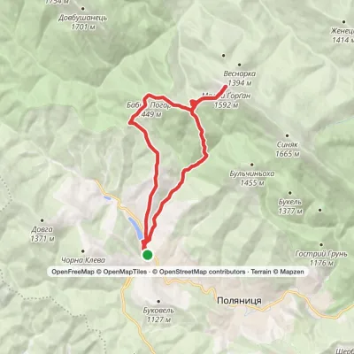 ModerateTwo-dayMarkedPolianytsia village loopvia Mount Malyi HorhanElevation profile898–1 592 m14.7 kmascent 888 m≈ 5.5 h walking
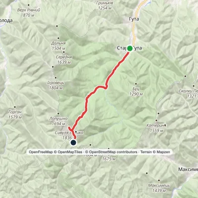 HardTwo-dayStara Huta village to Rushchyna polonynavia the Vodospadnyi Pass, Mount Velyka SyvuliaElevation profile669–1 836 m20 kmascent 1 170 m≈ 7.5 h walking
 HardMulti-dayMarkedStara Huta village loopvia Mount Vysoka, Mount Borevka +2Elevation profile686–1 836 m36.8 kmascent 1 714 m≈ 12.5 h walking
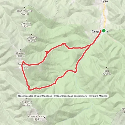 HardMulti-dayStara Huta village loopvia Mount IhrovetsElevation profile658–1 804 m29.9 kmascent 1 226 m≈ 10 h walking
Peaks and meadows
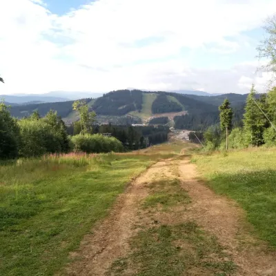 PeakMount Babyn PoharPolianytsia (Bukovel)altitude 1 449 m · Gorgany rangeBabyn Pohar is a 1,449 m mountain in the eastern Gorgany, in the Nadvirna district of Ivano-Frankivsk Oblast.
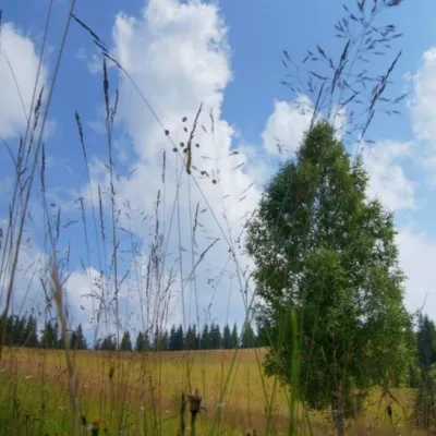 Mountain meadow1 184 mPolonyna ShuvarenkoNadvirna districtShuvarenko Polonyna is a high mountain meadow in the Ukrainian Carpathians, located in Ivano-Frankivsk region near...
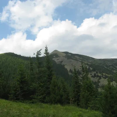 PeakSrednya MountainOsmolodaaltitude 1 639 m · Gorgany range12 trails to the topSerednya is a 1,639-meter peak of the Ukrainian Carpathians, which is located within the Gorgan mountain range.
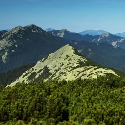 PeakMount Maly GorganTatarivaltitude 1 592 m · Gorgany range25 trails to the topSmall Gorgan, with a height of 1592 meters, is a peak of the Ukrainian Carpathians that is quite famous among outdoor...
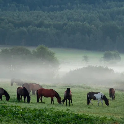 PeakMount TarnitsaProbiinivkaaltitude 1 553 m · Hryniava Mountains range2 trails to the topTarnytsia is a peak in the Hryniavskyi mountain range of the Ukrainian Carpathians.
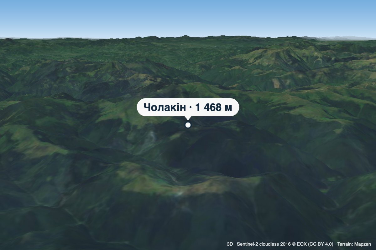 PeakMount CholakinKhutir Burkutaltitude 1 468 m · Chyvchyny rangeCholakin (also spelled Cholakyn) is a 1,468 m summit in the Chyvchyn Mountains, in the Verkhovyna district of Ivano...
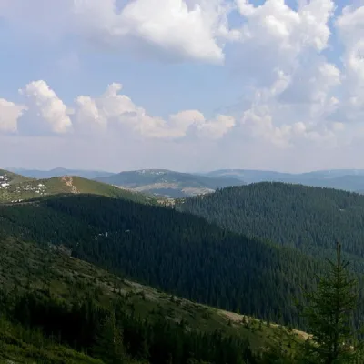 PeakMount PogrebinaKhutir Burkutaltitude 1 605 m · Hryniava Mountains range1 trail to the topPohrebina (also known as Halya Mykhailova) is a peak of the Ukrainian Carpathians, which lies within the Hryniava...
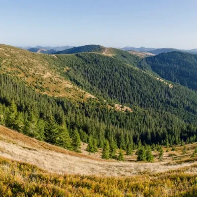 PeakMount Baba LiudovaProbiinivkaaltitude 1 582 m · Hryniava Mountains range3 trails to the topBaba Liudova (also known as Baba Ludova) is a peak on the Pneve ridge, which is located in the Hryniavsky Mountains...
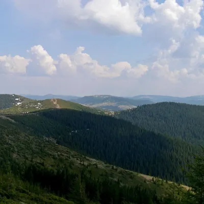 PeakMount Masny PrislipProbiinivkaaltitude 1 581 m · Hryniava Mountains range3 trails to the topMasnyi Pryslip is a peak of the Ukrainian Carpathians, which is located within the Hryniava mountain range.
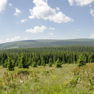 PeakMount PurulKhutir Burkutaltitude 1 616 m · Marmarosh rangePurul (translated from Romanian as "pure") is a 1616-meter peak in the Ukrainian Carpathians, which is located in the...
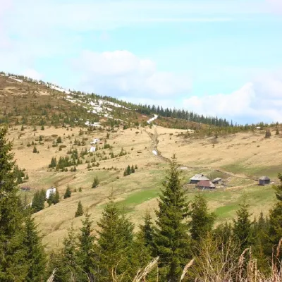 PeakMount PnivieHramotnealtitude 1 586 m · Hryniava Mountains range4 trails to the topPnivie (also known as Pnevi and Pnevie) is a 1586-meter peak in the Hryniavskyi mountain range of the Ukrainian...
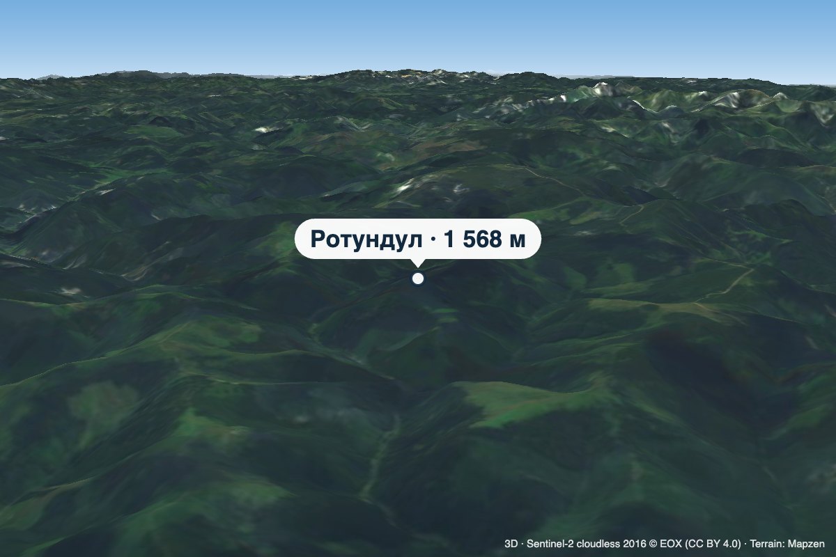 PeakMount RotundulHoloshynaaltitude 1 568 m · Chyvchyny rangeRotundul is a 1,568 m mountain in the Chyvchyn Mountains, part of the Marmarosh Massif.
Waters and waterfalls
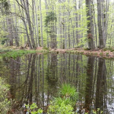 LakeDead Lake (Sheshory)SheshoryNot far from the Rosokhata valley, on the neighboring Karmatura ridge, there is the Dead Lake.
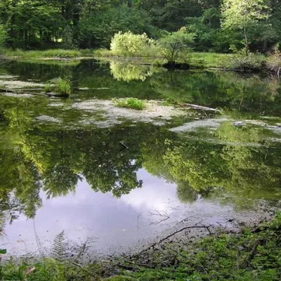 LakeLake Lebedyn (Sheshory)SheshoryLake Lebedyn (Lebedine) is located at an altitude of 650 m amidst beech forests and has been a protected area since...
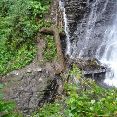 WaterfallZhenetsky Hook waterfallMykulychynZhenetskyi Huk is one of the most convenient Carpathian waterfalls for tourists, as it is accessible by a direct,...
Mountain ranges: Maramureș Mountains, Chyvchyn Mountains, Hryniava Mountains, Skole Beskids, Bieszczady, Gorgany, Pokuttia-Bukovina Carpathians. In other countries: 🇵🇱 Little Beskids, 🇸🇰 High Tatras, 🇵🇱 Sądecki Beskids, 🇸🇰 Western Tatras, 🇸🇰 Lesser Fatra, 🇵🇱 Silesian Beskids, 🇵🇱 Pieniny
Trails and peaks near which naturalists recorded the species (GBIF, iNaturalist), matched by altitude and habitat. Sightings are not guaranteed.
Sources
- Вікіпедія: Олень благородний
- Wikipedia (en): Red deer
- Ukrinform: Deer rehabilitation area launched in Synevyr
- Перелік видів тварин, що заносяться до Червоної книги України (наказ Міндовкілля від 19.01.2021 № 29, зареєстровано в Мін'юсті 01.03.2021 за № 260/35882)
- Міндовкілля: текст переліку видів тварин Червоної книги України (PDF)
- GBIF: таксон і категорія МСОП
GBIF · iNaturalist · Wikidata · Distribution data: GBIF.org (CC0 and CC BY records), iNaturalist; names and identifiers: Wikidata (CC0). Text: Karpaty.rocks, checked 09.11.2026.
