Roe deer
About
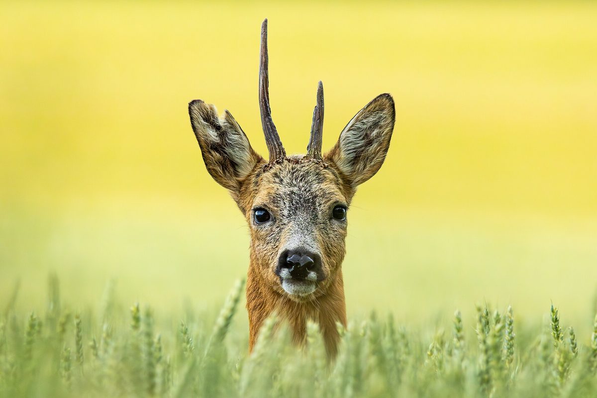
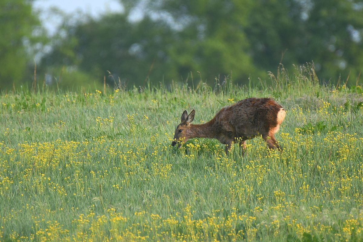
Roe deer is the smallest and most widespread deer in the Carpathians. It is seen more often than other ungulates: it loves edges, overgrown clearings, meadows near the forest, and does not shy away from the outskirts of villages. It lives in all Carpathian countries, from the foothills to the upper limit of the forest.
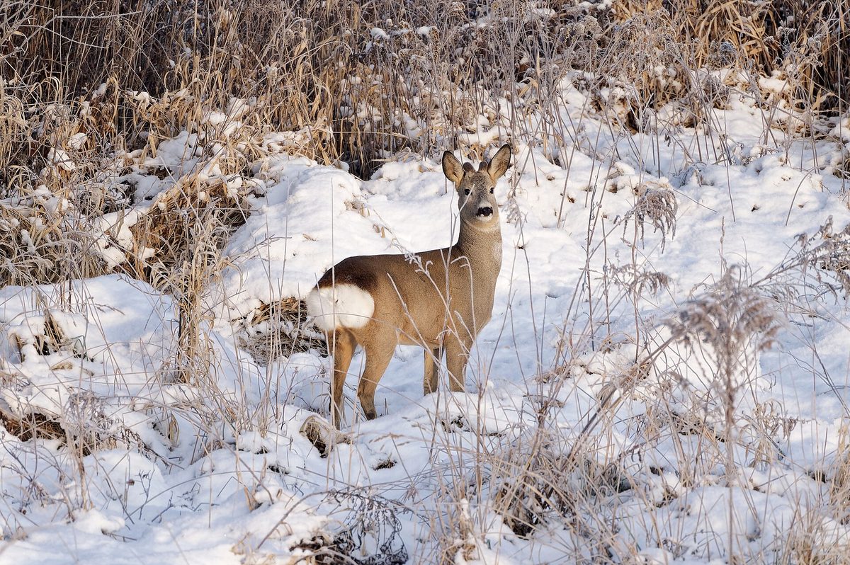
In summer, the fur is reddish, in winter it is gray-brown; on the back of the body, there is a white spot called a "mirror," which is clearly visible when the roe deer runs away. Males have small antlers with three tines, which they shed in autumn and regrow in winter. A frightened roe deer makes a sharp barking sound — it is often confused with a dog's bark.
The breeding season for roe deer is in summer, in July-August, but the embryo's development is delayed, and the fawns are born only the following spring, in May-June. In the first weeks, the young lie hidden in the grass, and the mother comes to feed them.
The best time to see roe deer is in the morning and evening at the edge of clearings. If you find a fawn in the grass — do not touch it or take it away: it is not abandoned, the mother is nearby. Human scent can scare her away, so back away the same way you came.
Roe deer is a game species and is not listed in the Red Book of Ukraine.
Where in the Carpathians

The map shows where naturalists recorded the species (GBIF, CC0 and CC BY records), not every place it lives. The Ukrainian Carpathians are less studied, so a blank area does not mean the species is absent.
- Countries
- Czechia · Serbia · Ukraine · Poland · Slovakia · Austria · Hungary · Romania
- Mountain ranges
- Maramureș Mountains, Hryniava Mountains, Moravian-Silesian Beskids, Chyvchyn Mountains, Skole Beskids, Kučaj Mountains and Beljanica, Little Beskids, Pădurea Craiului, White Carpathians, Bieszczady
- Altitude belts
- Foothills (below 600 m) · Beech forests (600–1200 m) · Conifer forests (1200–1600 m)
When to see it
| Jan | Feb | Mar | Apr | May | Jun | Jul | Aug | Sep | Oct | Nov | Dec | |
|---|---|---|---|---|---|---|---|---|---|---|---|---|
| Sightings |
From naturalists’ observations in the Carpathians (iNaturalist, research grade): the darker the cell, the more often the species is seen that month.
Protection and rules
A game species and is not listed in the Red Book of Ukraine.
FAQ
What to do if you find a fawn in the grass?
Do not touch or take it away. Fawns lie hidden for the first weeks, and the mother comes to feed them.
How does a roe deer differ from a deer?
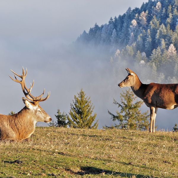
Roe deer is much smaller, has short antlers with three tines, and a white "mirror" at the back; red deer is much larger, with sprawling branched antlers.
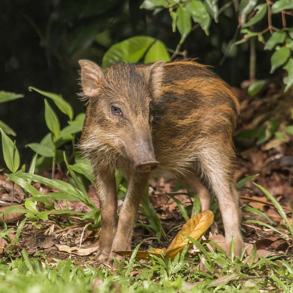
Similar species
Where to meet it
Trails
 HardMulti-dayMarkedPashkivtsi village loopvia Mount Hostra, Preluka tract +1Elevation profile463–1 393 m32.5 kmascent 1 431 m≈ 11 h walking
 ModerateTwo-dayLybokhora village to Kozakivka villagevia Mount MatahivElevation profile583–1 217 m22.4 kmascent 700 m≈ 7 h walking
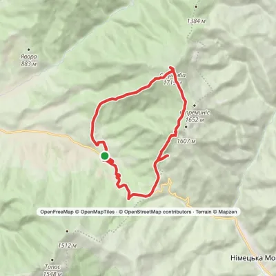 ModerateTwo-dayMarkedKolochava village loopvia Mount StrymbaElevation profile719–1 719 m16.2 kmascent 1 025 m≈ 6 h walking
 EasyOne-dayTuria Poliana village Voievodyn WaterfallElevation profile431–878 m7 kmascent 447 m≈ 2.5 h walking
 ModerateTwo-dayTuria Poliana village loopvia Voievodyn WaterfallElevation profile471–979 m14.3 kmascent 506 m≈ 4.5 h walking
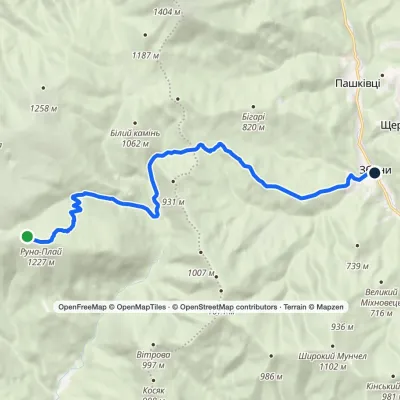 ModerateOne-dayMarkedZbyny VoievodynElevation profile438–1 227 m13.7 kmascent 236 m≈ 4 h walking
 HardMulti-dayKorchyn village to Krushelnytsia villagevia Hurkalo Waterfall, Mount ParashkaElevation profile396–1 268 m39.2 kmascent 1 094 m≈ 12 h walking
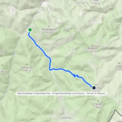 ModerateOne-dayMarkedPerkalaba Mount TomnatykElevation profile957–1 542 m8.7 kmascent 594 m≈ 3.5 h walking
 HardMulti-dayMarkedShepit village to Shybene villagevia Mount Yarovytsia, Mount Pnivie +1Elevation profile849–1 599 m73.4 kmascent 2 319 m
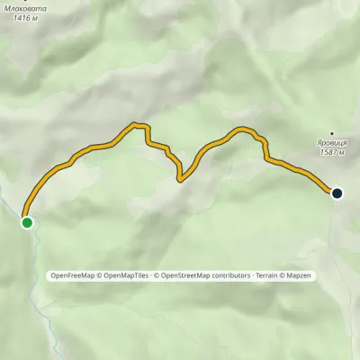 EasyOne-dayMarkedVereshchykha Mount YarovytsiaElevation profile1 001–1 416 m5.3 kmascent 426 m≈ 2 h walking
 HardMulti-dayMarkedShepit village to Probiinivka villagevia Mount Yarovytsia, Mount Pnivie +1Elevation profile797–1 599 m59.4 kmascent 1 949 m
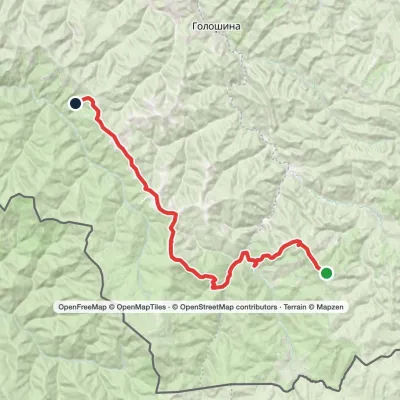 HardMulti-dayMarkedMount Yarovytsia to the Holy Trinity Monasteryvia the Pryluchnyi ridge, Mount PnivieElevation profile955–1 599 m32.5 kmascent 1 068 m≈ 10.5 h walking
Peaks and meadows
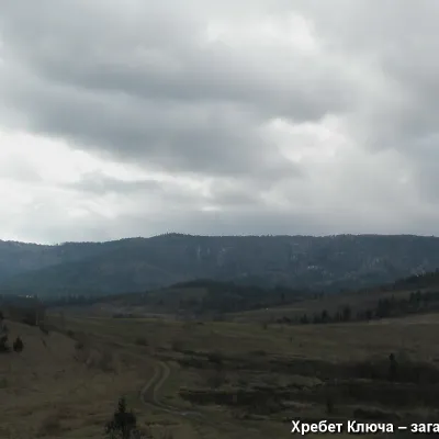 PeakMount YavorinkaTrukhanivaltitude 940 m3 trails to the topThe top of Mount Yavorinka is 940 meters above sea level. Mount Yavorinka is the highest peak of the Klyucha ridge,...
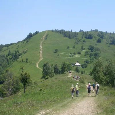 Mountain meadow984 mMount Makovytsia, YaremcheYaremcheMakovytsia (984 m) is a mountain of the Gorgany range on the eastern edge of Yaremche, in the Carpathian National...
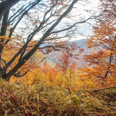 PeakMount Dil (Krushelnytsia)Krushelnytsiaaltitude 899 m · Skole Beskids rangeIt lies north-east of the Parashka ridge, about 2.6 km from Parashka itself (1,268 m), and rises above the village of...
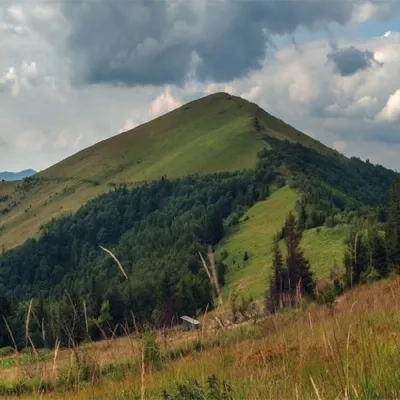 PeakMount ParashkaSkolealtitude 1 268 m · Skole Beskids range17 trails to the topParashka (1268 m) is the highest peak of the ridge of the same name in the Skole Beskids, 8 km north-west of Skole; a...
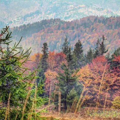 PeakMount Tymkiv VerkhKorostivaltitude 1 227 m · Skole Beskids range1 trail to the topTymkiv Verkh (also spelled Tymkyn Verkh) is a 1,227 m summit on the Parashka ridge in the Skole Beskids, Lviv Oblast.
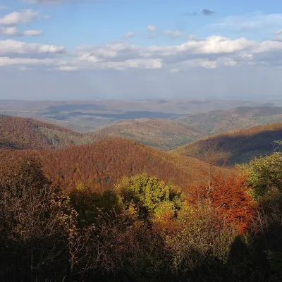 PeakMount Obroslyi VerkhSkolealtitude 1 177 m · Skole Beskids range1 trail to the topObroslyi Verkh is a 1,177 m summit in the south-eastern part of the Parashka ridge in the Skole Beskids (Lviv Oblast).
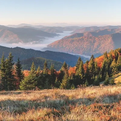 PeakMount ZelenaKorostivaltitude 1 217 m · Skole Beskids range1 trail to the topZelena is a 1,217 m summit on the Parashka ridge in the Skole Beskids, Lviv Oblast.
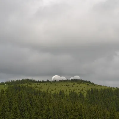 Mountain meadow1 565 mMount Tomnatyk (Yalovychory)SarataTomnatyk is a 1,565 m mountain in the Yalovychory Mountains, on the Tomnatykul ridge.
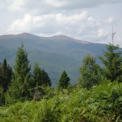 Mountain meadow1 400 mPolonyna Rivna (Runa)LumshoryPolonyna Rivna, more often called Runa in Zakarpattia (in the local dialect "runa" means exactly "flat"), is a broad,...
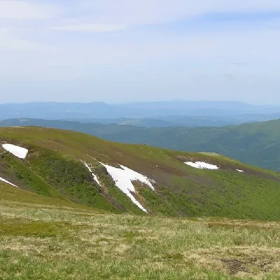 PeakMount Runa-PlaiTurya Polyanaaltitude 1 227 m3 trails to the topRuna-Play is a 1,227-meter peak of the Ukrainian Carpathians, located in the southeastern part of the Runa Valley.
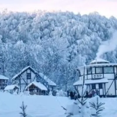 PeakMount TsetsynoChernivtsialtitude 537 mTsetsyno is the highest hill of the Chernivtsi Upland, 537 m high (538 m according to other data).
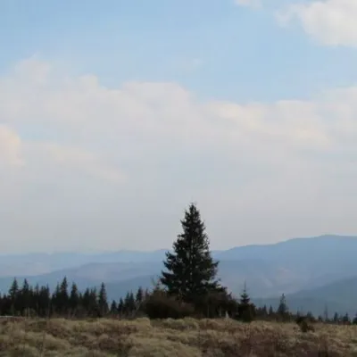 Mountain meadow1 200 mPolonyna ShchivkaYaremcheThe Shchivka meadow has a very good location. Its length is about 700 meters, it has a slight slope, which protects...
Waters and waterfalls
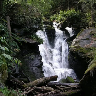 WaterfallVojvodyn waterfallPolianska HutaThe Voyevodyn Waterfall is located on the stream of the same name near the village of Zhdeniyevo in Zakarpattia...
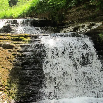 WaterfallSukil WaterfallsSukilNear the village of Sukil in the Bohorodchany urban hromada, the Sukil Waterfalls are truly a paradise for tourists...
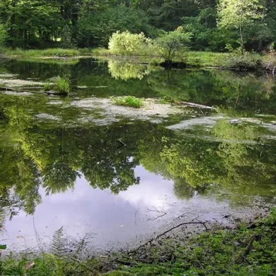 LakeLake Lebedyn (Sheshory)SheshoryLake Lebedyn (Lebedine) is located at an altitude of 650 m amidst beech forests and has been a protected area since...
Mountain ranges: Maramureș Mountains, Hryniava Mountains, Chyvchyn Mountains, Skole Beskids, Bieszczady, Pokuttia-Bukovina Carpathians, Gorgany. In other countries: 🇨🇿 Moravian-Silesian Beskids, 🇷🇸 Kučaj Mountains and Beljanica, 🇵🇱 Little Beskids, 🇷🇴 Pădurea Craiului, 🇨🇿 White Carpathians, 🇸🇰 Western Tatras, 🇵🇱 Island Beskids
Trails and peaks near which naturalists recorded the species (GBIF, iNaturalist), matched by altitude and habitat. Sightings are not guaranteed.
Sources
- Вікіпедія: Козуля європейська
- Wikipedia (en): Roe deer
- Перелік видів тварин, що заносяться до Червоної книги України (наказ Міндовкілля від 19.01.2021 № 29, зареєстровано в Мін'юсті 01.03.2021 за № 260/35882)
- Міндовкілля: текст переліку видів тварин Червоної книги України (PDF)
- GBIF: таксон і категорія МСОП
GBIF · iNaturalist · Wikidata · Distribution data: GBIF.org (CC0 and CC BY records), iNaturalist; names and identifiers: Wikidata (CC0). Text: Karpaty.rocks, checked 09.11.2026.
