Mount Turkul
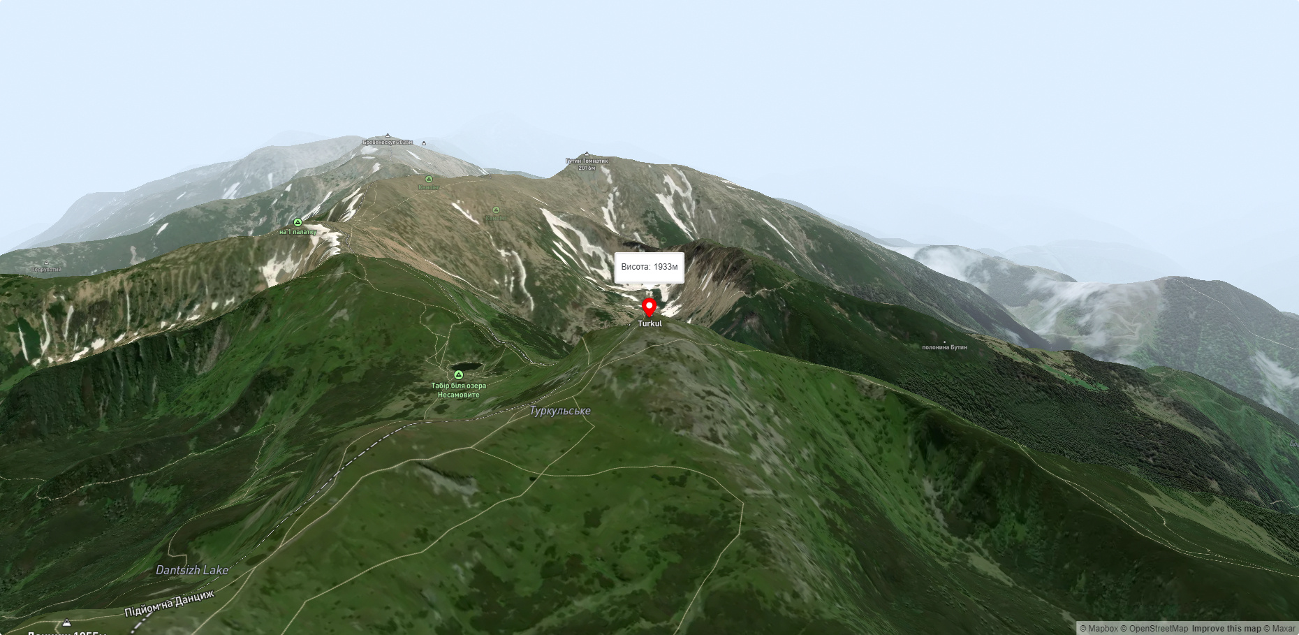
Turkul, 1933 meters high, is one of the peaks of the Ukrainian Carpathians, located in the Chornohora mountain range. The mountain is located on the border of two regions - Zakarpattia and Ivano-Frankivsk.
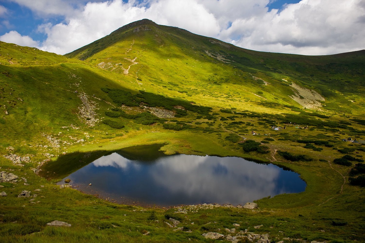
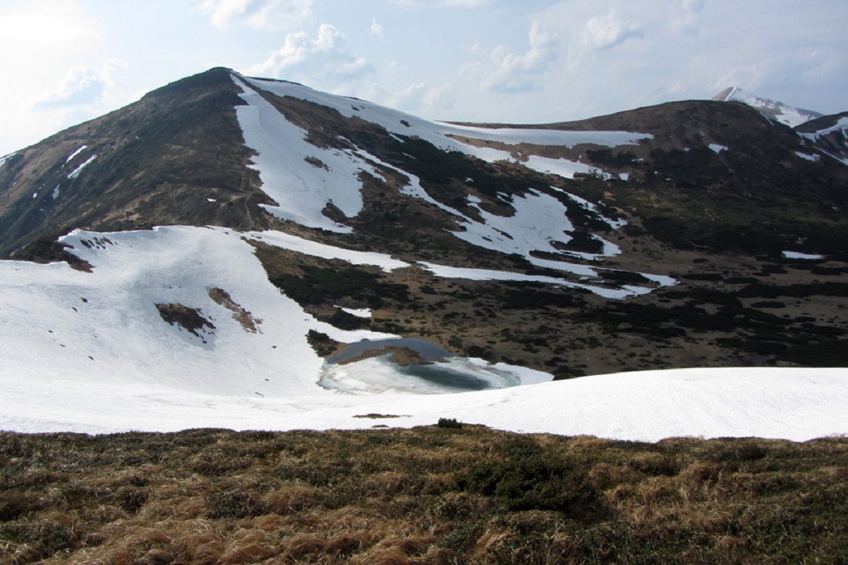
To the north of Turkul is Mount Dantsizh (1850 m), and to the southeast is Mount Rebra (2001 m). And right below the peak is one of the most famous and beautiful Carpathian lakes, Nesamovyte (1750 meters).
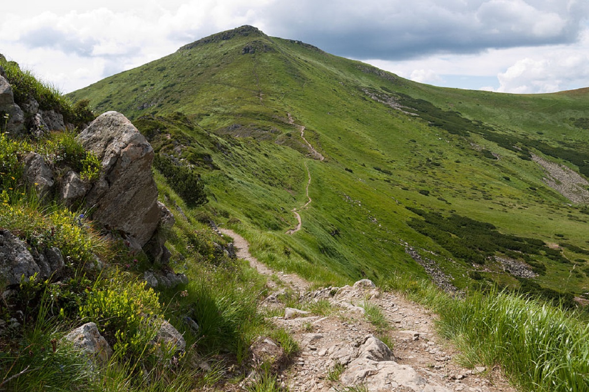
Mount Turkul has a triangular shape, which is complicated by step-like ledges on the eastern side. The upper part of the peak - or, to be more precise, its southern and southeastern slopes - is covered with numerous stone placers.
The summit part of Turkul is covered with grass and crooked forests, formed mainly of fir (alpine pine) and Siberian juniper.
To the north and east of the peak are glacial karsts that formed the Kizly tract and one of the most famous hydrological natural monuments of the Ukrainian Carpathians - the high-mountainous Lake Nesamovyte, to the south - the Turkulska Polonyna tract.
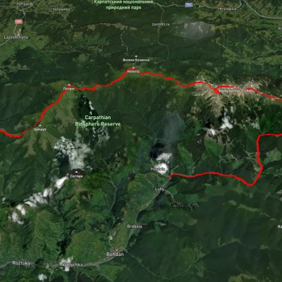
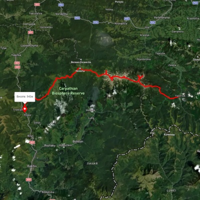
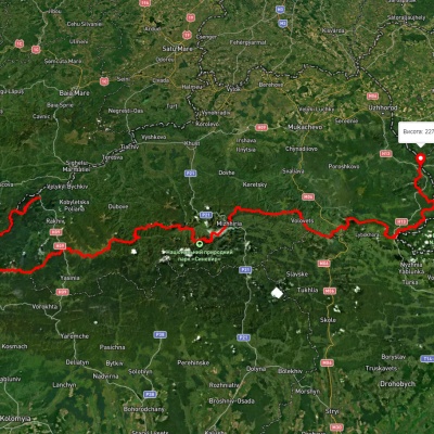
Since Turkul lies on the way of many marked routes along the Chornohora ridge, the peak is a very popular mountain tourism destination. It is under the mountain, not far from Nesamovyty, that travelers often stop for the night.
The nearest settlements are the village of Hoverla in Zakarpattia region and the village of Bystrets in Ivano-Frankivsk region.
Accommodation around Mount Turkul:


Nearby hiking trails near Mount Turkul:
Які маршрути проходять повз Mount Turkul?
Пропонуємо пройти такі туристичні (пішохідні) маршрути через/біля Mount Turkul: с. Луги, через г. Піп Іван Чорногірський, г. Ребра, г. Говерла, г. Петрос, г. Шешул до с. Кваси, с. Шибене, через г. Піп Іван Чорногірський, г. Говерла, г. Петрос до с. Кваси, Закарпатський туристичний шлях, с. Ясіня, через г. Петрос, г. Говерла, г. Піп Іван Чорногірський до с. Луги, турбаза "Заросляк", через оз. Несамовите, г. Говерла до турбази "Заросляк", турбаза "Заросляк", через г. Говерла, оз. Несамовите до турбази "Заросляк"