Polonyna Rivna (Runa)
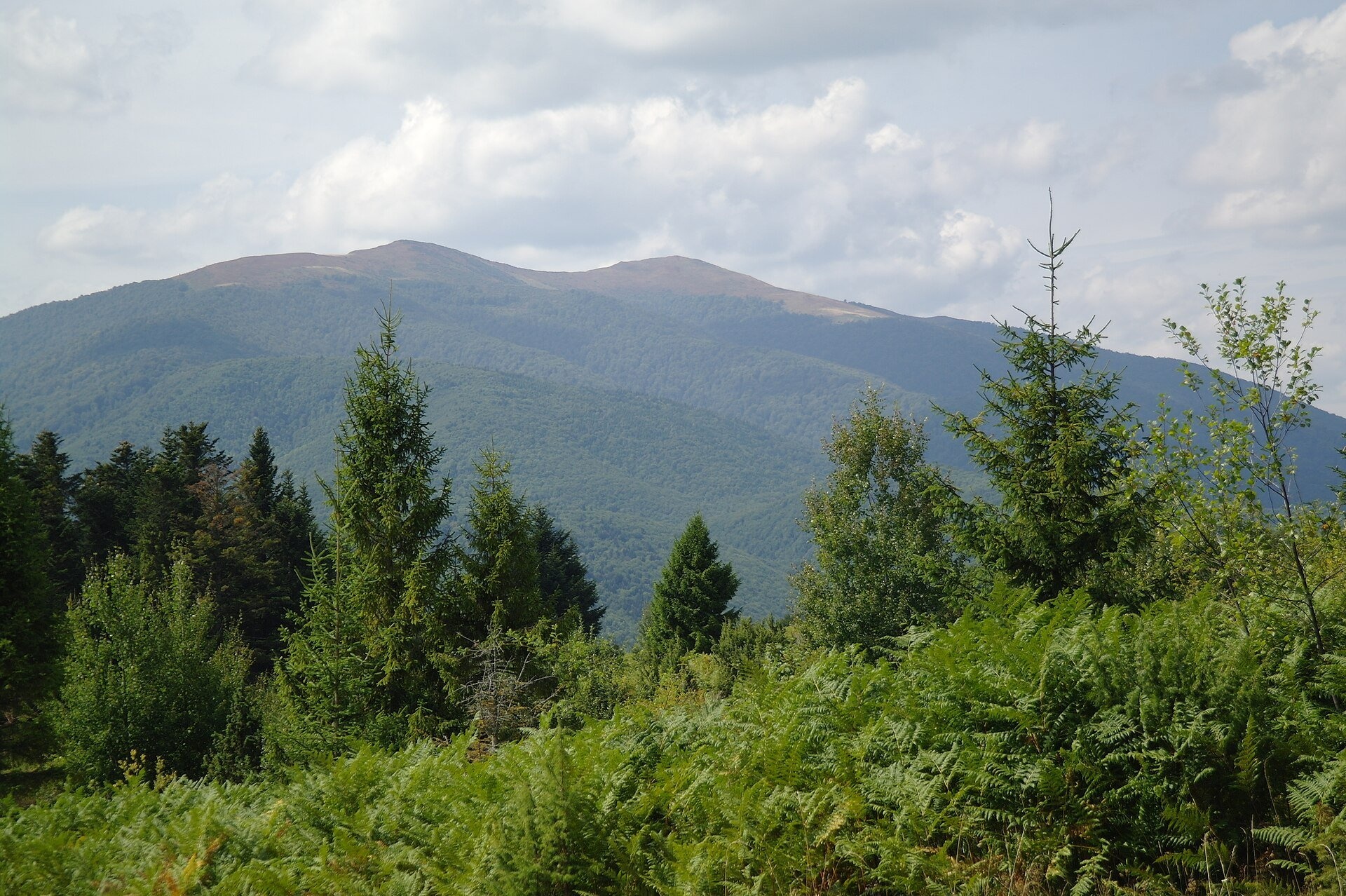
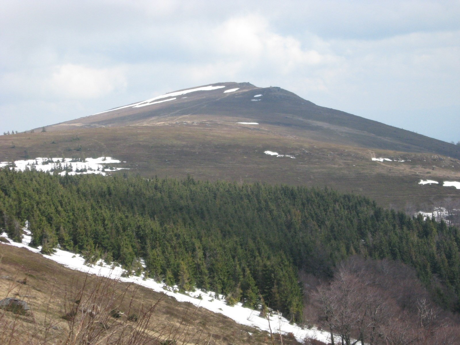
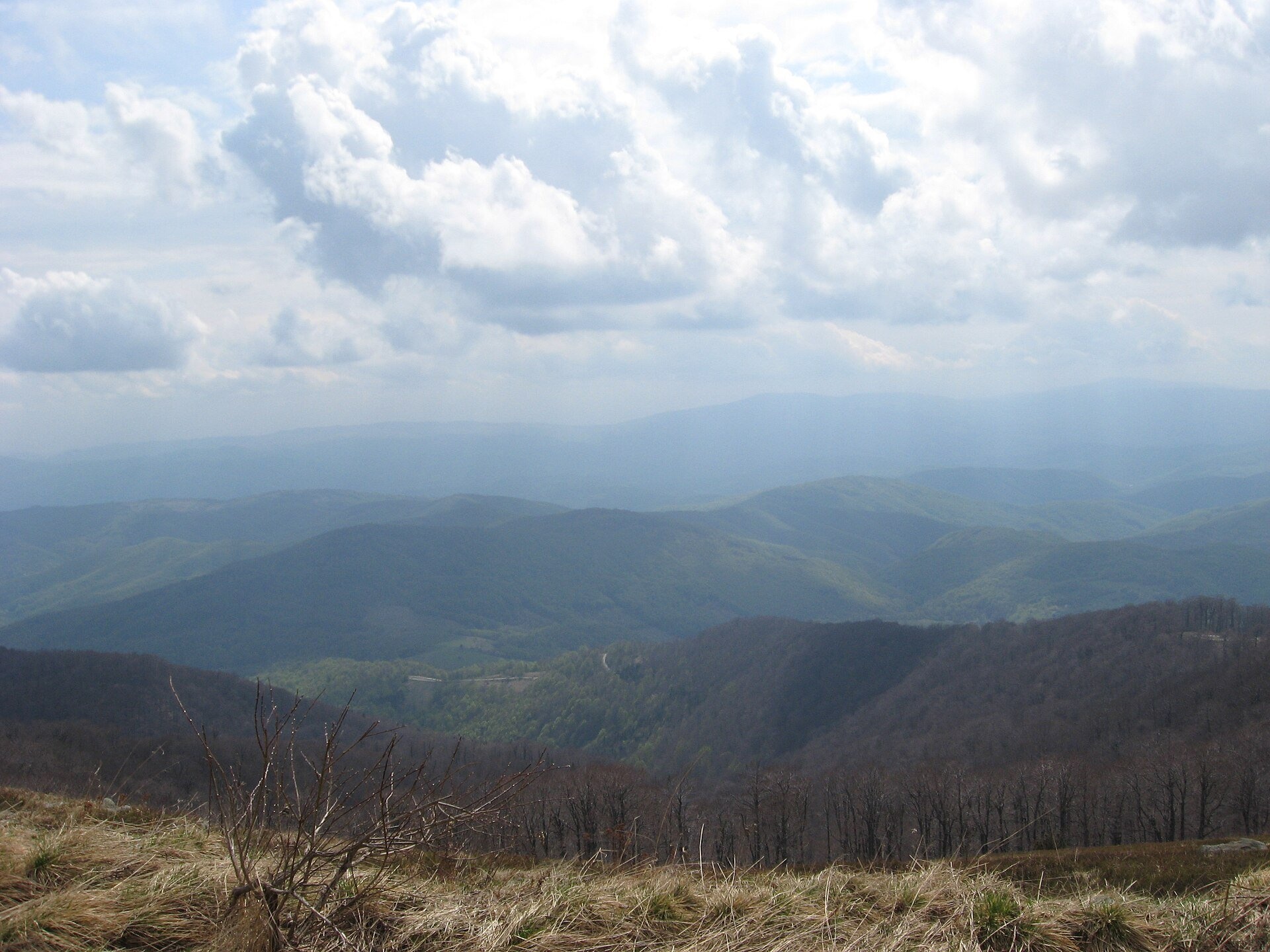
Polonyna Rivna, more often called Runa in Zakarpattia (in the local dialect "runa" means exactly "flat"), is a broad, gentle massif in the western part of the Polonynskyi Ridge, in the Uzhhorod district of Zakarpattia Oblast (formerly the Perechyn and Velykyi Bereznyi districts). The massif lies between the headwaters of the Liuta, Shypit, Turytsia, Preluchnyi and Voievodyn rivers; its highest summit is Mount Rivna (Polonyna Runa), 1,479–1,482 m. The polonyna itself covers about 13.7 km².
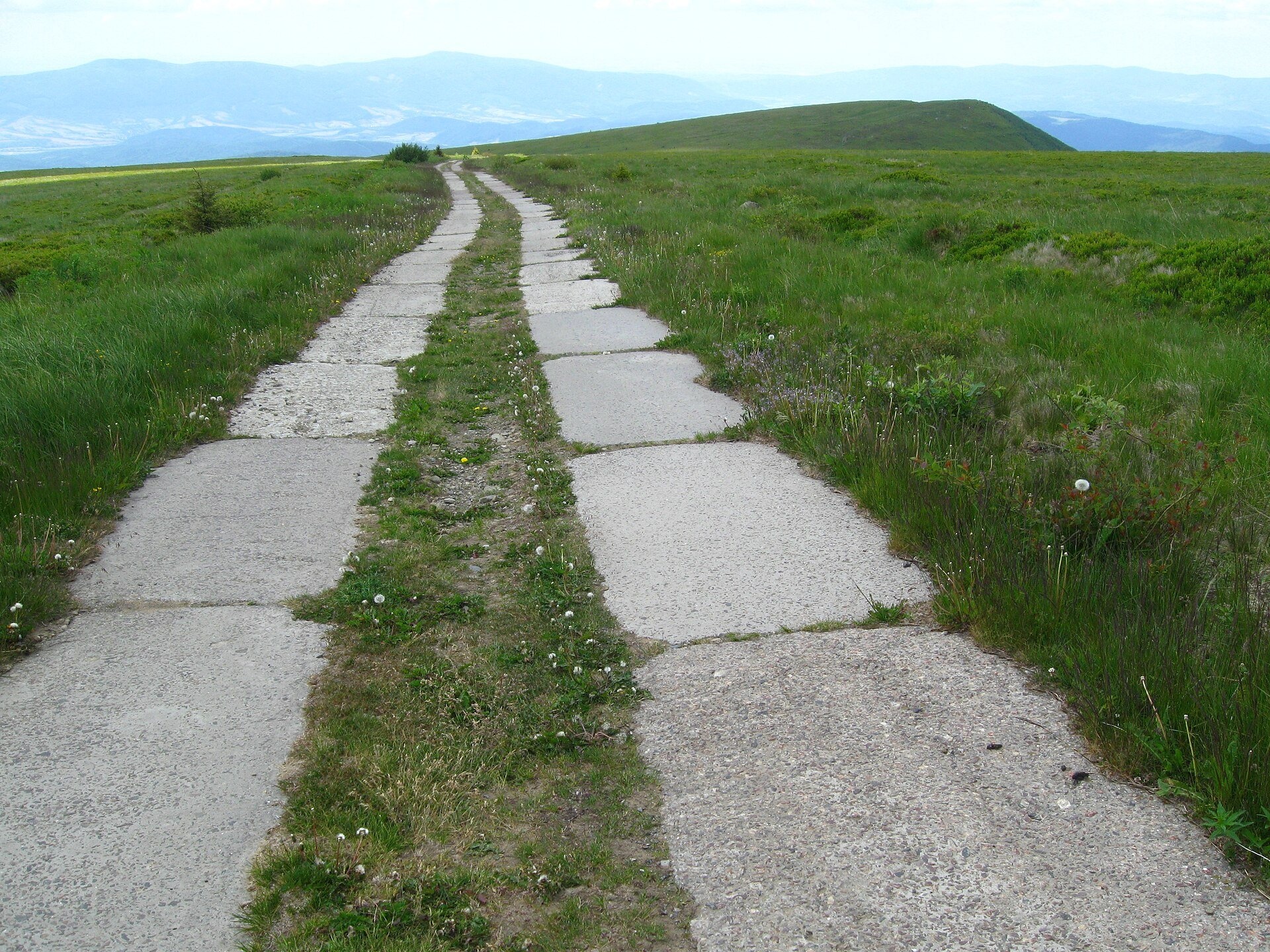
The summit area is a huge plateau that drops steeply to the north and east and slopes gently to the south. A concrete road, the proximity of Uzhhorod and the spa village of Lumshory make Runa one of the most accessible polonynas in the Carpathians and a popular goal for a first mountain hike, spring hiking and autumn photo walks.
What you will see
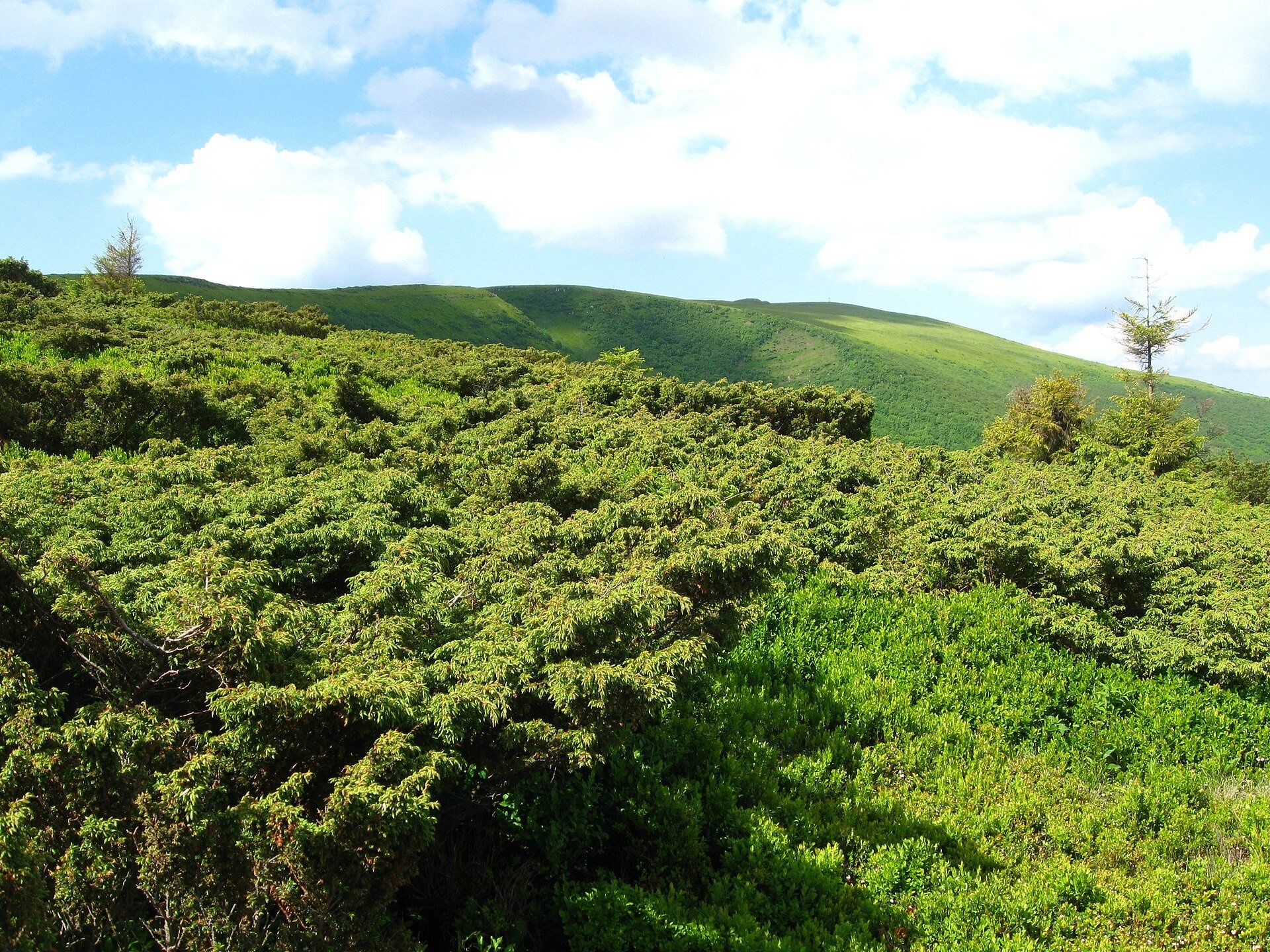
The plateau is covered with bilberry, lingonberry, lichens and juniper bushes, the slopes mostly with beech forest. The massif holds the Sokolovi Skeli ornithological reserve and the hydrological natural monument "Glacial Lake Velyke Trostia"; on the south-eastern slopes lie the Turia-Poliana reserve and the Voievodyn Waterfall, on the north-western ones the Lumshory waterfalls. The panorama from the top is one of the widest in the west of the Ukrainian Carpathians: Ostra Hora and Pikui to the north, Borzhava with Stii and Velykyi Verkh to the east, Liutianska Holytsia and Mala Holytsia close by to the north-west, Vihorlat and Slovakia to the west, and on clear autumn days the Polish Bieszczady with Tarnica and even the snowy Tatras. On the summit plateau lie the concrete ruins of a Soviet military installation, described in different sources as a radar station, a missile base or a tropospheric communications site. Next to them stand a cross, obelisks and a small weather station.
Shepherds, huts and cheese
Rivna has long been a centre of highland livestock farming: in 1870 a state stud farm for the army was founded here — five farms, about 800 Hutsul horses plus 3,000 cows and breeding bulls; the animals grazed from spring to autumn. The summit pastures are still used for grazing, but tourist sources do not mention permanent sheepfolds selling cheese on Runa — whether there will be livestock and herders on the polonyna this season cannot be known in advance. It is safer to taste Transcarpathian cheese down below: the "Turianskyi Dvir" farmstead cheese dairy works in Turia Poliana.
History and legends
The names of the villages around the massif — Turia Poliana, Turia Pasika, Turia Bystra, Turi Remety, Turytsia, Turychky — recall the old fauna: the aurochs ("tur"), a wild ox, once lived in these forests. The painter Yosyp Bokshai loved the landscapes of Rivna and painted a whole series of canvases here. In autumn 1944 Soviet paratroop groups were dropped on the polonyna — obelisks near the summit commemorate this, and the events are described in Ahata Turchynska's novella "Runa" (1977). In the early 1980s a concrete road was built via Lypovets to the summit for a military installation that was later abandoned. Recently Runa has been at the centre of disputes over plans for a wind farm: a foundation for a turbine can already be seen on the polonyna.
Routes
- Lumshory — Runa (partly red marking): from the "Polonyna" tourist centre along a forest road for 1.5–2 hours to a mountain lake at about 840 m, then roughly 7 km more and 640 m of ascent (about 3 hours) to the summit. The round trip is 14–16 km, 5–6 hours and about 850 m of ascent; the route is suitable for beginners too. See Lumshory — Polonyna Runa — Lumshory.
- Turia Poliana — Voievodyn Waterfall — Runa — Lumshory: a south-to-north crossing of the massif — route on our site.
- Polianska Huta — Runa — Polianska Huta: a loop from the east; from Pashkivtsi a yellow-marked path leads to the summit.
- Lypovets — concrete road: about 10 km of concrete from the village to the summit; long and monotonous on foot, but easy to navigate.
- For a longer hike: Preluka — Runa — Lake Velyke Trostia — Lumshory or the traverse Kostryna — Liuta — Liutianska Holytsia — Runa.
For those who do not hike, the concrete road from Lypovets makes it possible to drive to the summit in an off-road vehicle; even ordinary cars are seen on it, but the road is broken in places, with potholes and steps, and passing an oncoming lorry is difficult.
Getting there
Lumshory is about 50 km from Uzhhorod: via Perechyn to Turi Remety, then on to Turychky and Lumshory, roughly 1.5 hours by car. A scheduled bus runs from Perechyn to Lumshory. From Lviv and Mukachevo, drive via Poliana near Svaliava and turn towards Perechyn. There is parking at the "Polonyna" tourist centre in Lumshory. Narrow forest roads lead to Lypovets via Turytsia; the last kilometres are rough.
When to go and weather
Runa is visited all year round. In spring, from March to May, the hiking season opens here: snow still lies in places, but the gentle relief makes the climb relatively safe. Autumn is the most photogenic time, with russet slopes and the farthest visibility. In summer there is almost no shade on the open plateau, so the heat can be hard, and in bilberry season berry pickers are driven up to the polonyna. Even in summer it is cool on the top in the morning and evening, and wind and fog arrive quickly.
Water, shelters and overnight
By the lake above Lumshory there is a spring, a small wooden house, tent platforms and tables, with a hut by the lake nearby. There is almost no water on the plateau itself; the closest to the summit is a spring at about 1,300 m. There are no official shelters on the polonyna: tents are pitched closer to the forest or behind hummocks that shelter from the wind. Look for guesthouses and hotels in Lumshory (also known for its mineral-water hot tubs), Turia Poliana, Turi Remety and Perechyn.
Safety
- If cattle with dogs are grazing on the polonyna, walk around them and call the herder.
- Thunderstorms are dangerous on the open plateau: when you hear thunder, head down to the forest.
- In fog it is easy to lose direction on the plateau — carry an offline map and GPS and keep to the road or path.
- On the concrete road watch out for off-road vehicles, motorbikes and lorries.
- Do not climb on the ruins of the military buildings: they hide rusty structures and holes.
- Emergency numbers: 112, 101 (State Emergency Service, mountain search and rescue), 103.
What visitors say
- Runa is praised as an ideal first hike: the climb is gradual and from the top you can see half the Carpathians.
- Polish hikers are struck by the broad, flat ridge — there are no such expansive polonynas on their side of the border.
- Many are saddened by the concrete ruins and the concrete road itself: the military buildings and the road, they say, spoil the polonyna landscape, and jeeps and motorbikes break the silence.
- They recommend walking from Lumshory past the forest lake, which is especially beautiful at sunset, and relaxing in the mineral hot tubs after the descent.
- In summer there is no shade on the plateau, so spring or autumn is better, and carry extra water.
- Good footwear is needed: after rain the forest sections become slippery.
Polonynas and peaks around
- Mount Rivna (Polonyna Runa) — the highest summit of the massif.
- Runa-Plai (1,227 m) — the south-eastern summit of the massif.
- Liutianska Holytsia (1,375 m) — a narrow treeless ridge to the north-west.
- Ostra Hora (1,405 m) — a sharp summit to the north.
- Mala Holytsia — a summit above Lumshory.
- Polonyna Borzhava — Zakarpattia's longest polonyna, visible to the east.
- Polonyna Krasna — a more distant massif of the Polonynskyi Ridge.
Photos: Сергій Стецюк, CC BY 3.0, Wikimedia Commons; MSha, Public domain, Wikimedia Commons; Maximym44, CC BY-SA 4.0, Wikimedia Commons; MSha, CC BY-SA 4.0, Wikimedia Commons.
Video 2
 Похід на Полонину Руну з Пашківців | Подорожі КарпатамиЗона Гір
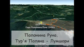
Location on the map
Water and shelter nearby
- Spring (Lypovets, 4)420 m · Not verified · 1 300 m
- Spring (Lypovets, 3)1.4 km · Not verified · 1 253 m
- Spring (Lypovets, 2)1.7 km · Not verified · 1 233 m
- Spring (Lypovets)2.6 km · Not verified · 956 m
Comments
Places to stay nearby
All stays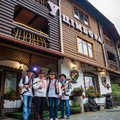 HotelHotel "U Tsimbora" LumshoryLumshory5.8 km from Polonyna Rivna (Runa)Hot tubSaunaSPANearby: Lumshory waterfalls 800 mChurch of St. Basil the Great 3.3 km12 trails
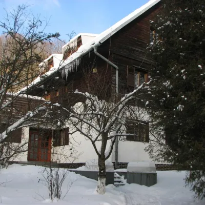 HotelRecreation Base "Lumshory"Lumshory6.6 km from Polonyna Rivna (Runa)ParkingWi‑FiKidsNearby: Lumshory waterfalls 2.1 kmChurch of St. Basil the Great 2.6 km13 trails
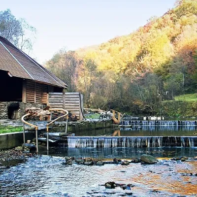 HotelComplex "Myslyvska Sadiba" Lumshory (5 Chans, Pool, Beach)Lumshory6.7 km from Polonyna Rivna (Runa)Hot tubPoolSaunaNearby: Lumshory waterfalls 2.0 kmChurch of St. Basil the Great 2.8 km12 trails
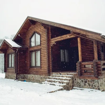 HotelHotel "Equides Karpaty"Turya Polyana8.5 km from Polonyna Rivna (Runa)PetsNearby: Mt Runa-Plai 6.8 kmVojvodyn waterfall 8.1 km4 trails
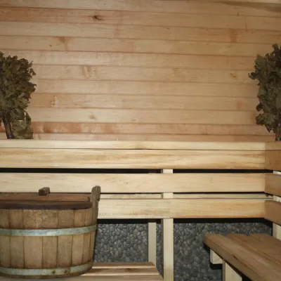 CottageHomestead "Lukacha" ZhdeniyevoPashkivtsi11 km from Polonyna Rivna (Runa)SaunaFireplaceKitchenNearby: Ostra Gora 5.6 kmVojvodyn waterfall 7.9 km7 trails
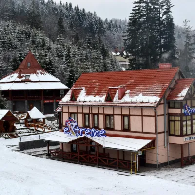 HotelHotel-Bar "Extreme" MykulychynZhdenievo11 km from Polonyna Rivna (Runa)PoolSaunaBBQNearby: Vojvodyn waterfall 8.1 kmOstra Gora 8.8 km6 trails
Trails nearby
All trails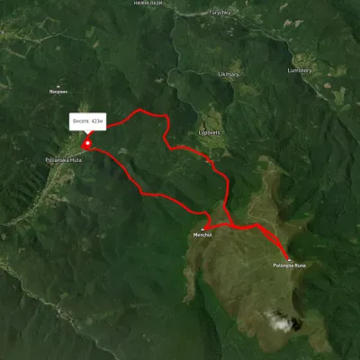 HardTwo-dayUnmarkedPolianska Huta village loopvia Runa polonynaElevation profile425–1 471 m19.3 kmascent 1 282 m≈ 7.5 h walkingunder 1 km from Polonyna Rivna (Runa)
 HardMulti-dayUnmarkedLumshory village loopvia Voievodyn WaterfallElevation profile441–1 472 m30.6 kmascent 2 248 m≈ 12 h walkingunder 1 km from Polonyna Rivna (Runa)
 HardMulti-dayUnmarkedLumshory village loopvia Runa polonyna, Pashkivtsi village +5Elevation profile448–1 464 m72.2 kmascent 4 162 munder 1 km from Polonyna Rivna (Runa)
Nearby attractions
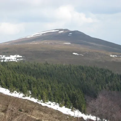 PeakMount Rivna (Polonyna Runa)Lumshoryaltitude 1 480 m1.1 km from Polonyna Rivna (Runa)Rivna, or Polonyna Runa (“runa” means “flat” in the local Transcarpathian dialect), is a mountain massif and its highest summit in the western part of the Polonynskyi...
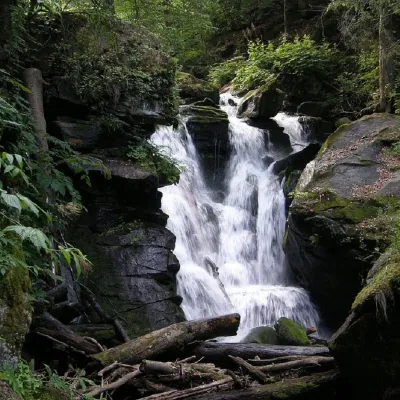 WaterfallVojvodyn waterfallPolianska Huta3.2 km from Polonyna Rivna (Runa)The Voyevodyn Waterfall is located on the stream of the same name near the village of Zhdeniyevo in Zakarpattia within the Sokolovi Skeli, an ornithological reserve of...
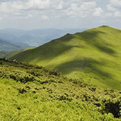 Mountain meadowMount Liutianska HolytsiaLiutaaltitude 1 375 m7 km from Polonyna Rivna (Runa)8 trails to the topLiutianska Holytsia (also known as Lautanska Holytsia and Liutanska Holytsia) is a 1375-meter peak in the Ukrainian Carpathians, located in the northwestern part of...
Craft nearby
All craft places Cheese dairies & pasturesTurianskyi Dvir Estate Cheese Dairy, Turia PolianaTurya Polyana11 km from Polonyna Rivna (Runa)Turianskyi Dvir is a private country estate on the shore of a mountain lake in the village of Turia Poliana in the Perechyn area, about 50 kilometres from Uzhhorod.
 Honey & meaderiesTurianskyi Med Apiary, Turia RemetaTuri Remety17 km from Polonyna Rivna (Runa)Turianskyi Med («Turia Honey») is the family apiary of Myroslava and Viktor Minkovych in Turia Remeta, a picturesque village in the Turia river valley near Perechyn.
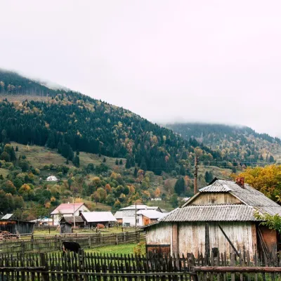 Cheese dairies & pasturesBilasovytsi Cheese Dairy, BilasovytsiaBilasovytsia20 km from Polonyna Rivna (Runa)Bilasovytsi Cheese Dairy is a small family dairy in the Transcarpathian village of Bilasovytsia, set at about 600 metres above sea level at the foot of Mount Pikui.
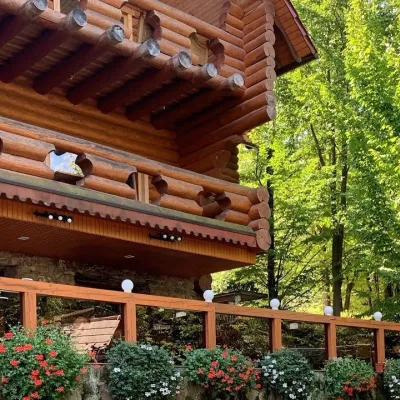 Koliby & Hutsul cuisineKolyba “Nad Potokom”, PolianaPolyana22 km from Polonyna Rivna (Runa)Koliba nad Potokom (“Kolyba above the Stream”) is a wooden kolyba restaurant in the spa village of Poliana near Svaliava in Zakarpattia, on Dyskovetska Street, which...
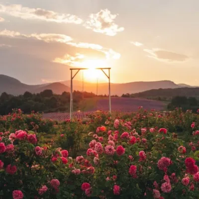 Eco farmsLavandova Hora lavender farm, PerechynPerechyn25 km from Polonyna Rivna (Runa)Lavandova Hora (“Lavender Hill”) is a family farm on the edge of Perechyn that in just a few years has turned an ordinary hill above the town into one of the most...
 Craft producersKarpaty Nasolodzhuisia juices & jams, PerechynPerechyn26 km from Polonyna Rivna (Runa)“Karpaty Nasolodzhuisia” (Carpathians, Enjoy) is a brand of the company Dzherela Karpat from Perechyn, a small town in the Uzh valley.
