Ostra Gora
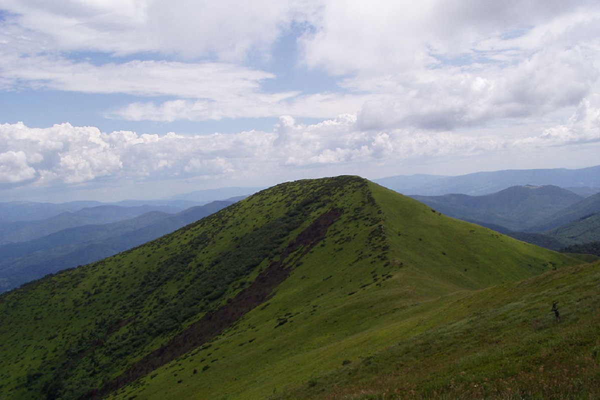
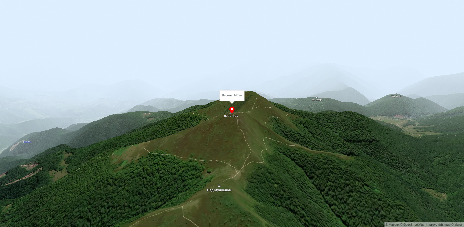
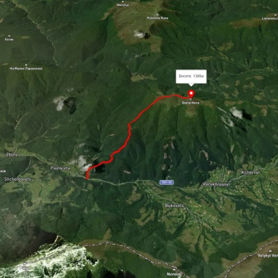
Ostra Hora is a 1405-meter peak in the Ukrainian Carpathians, located on the Polonyna ridge (northwestern part), northeast of Polonyna Runa and southwest of the villages of Kichernyi and Perekhresnyi.
The mountain is located on the border of two districts of the Zakarpattia region - Volovets and Velykyi Bereznyi.
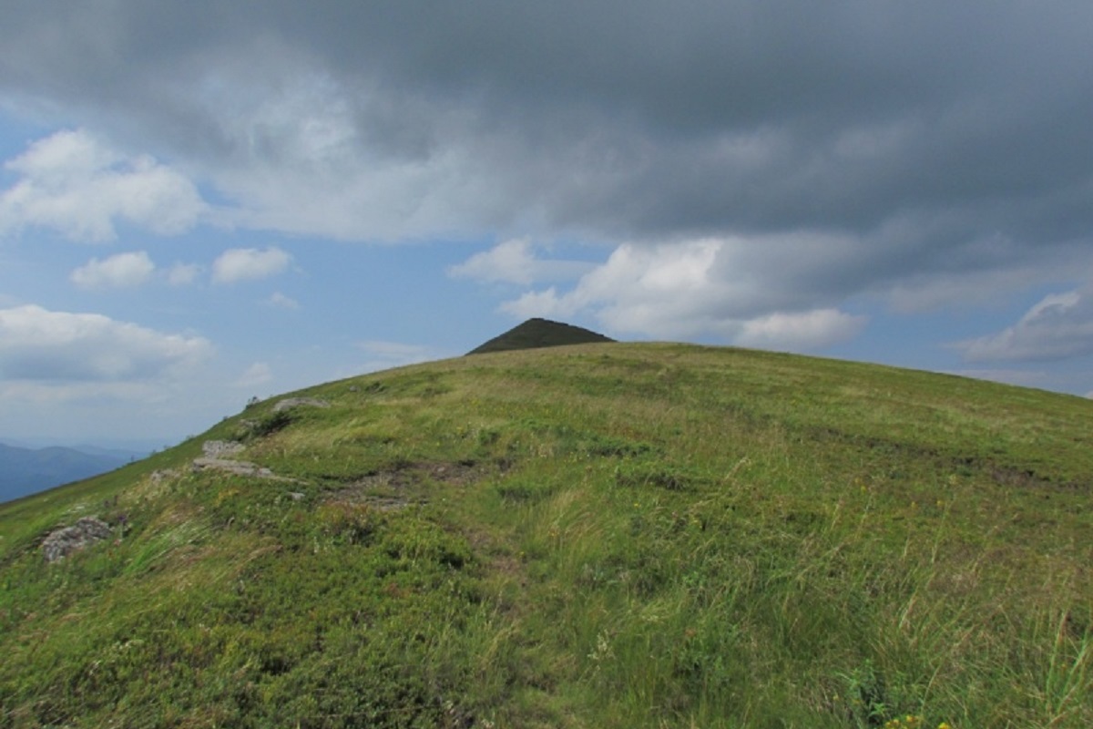
Ostra Hora is a small ridge stretching from northwest to southeast, consisting of two almost identical peaks, 1405 m high (northwest) and 1404 m high (southeast).
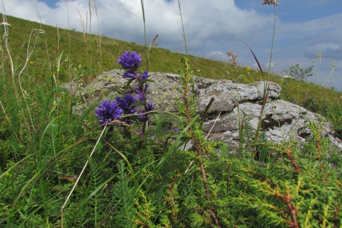
The slopes of the mountain up to an altitude of 1250-1300 meters are covered with forests, above this mark - with meadows.
The nearest settlements are the villages of Kichernyi and Perekhresnyi in Volovets district , Zakarpattia region.
Accommodation around Ostra Gora:


Nearby hiking trails near Ostra Gora:
Which trails pass by Ostra Gora?
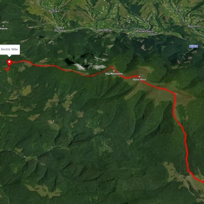
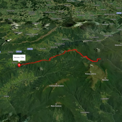
We suggest these hiking trails through or near Ostra Gora: Preluka tract, via Mount Ostra Hora to Roztoka village, Mount Hostra – Preluky, Pashkivtsi – Mount Hostra, Preluka tract, via Mount Ostra Hora, Mount Lysyna and Nyzky Pass to Preluka tract, Lumshory village, via Runa polonyna, Pashkivtsi village, Mount Pikui, the Ruska Put Pass, Perekhresne village, Mount Ostra Hora and Mount Liutianska Holytsia to Lumshory village, Pashkivtsi village, via Mount Hostra Hora and Voievodyn Waterfall to Pashkivtsi village