Polonyna Krasna
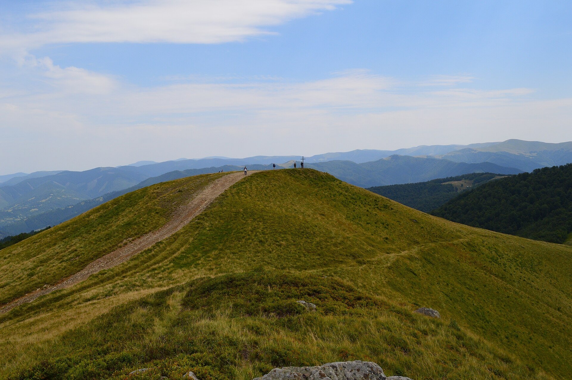
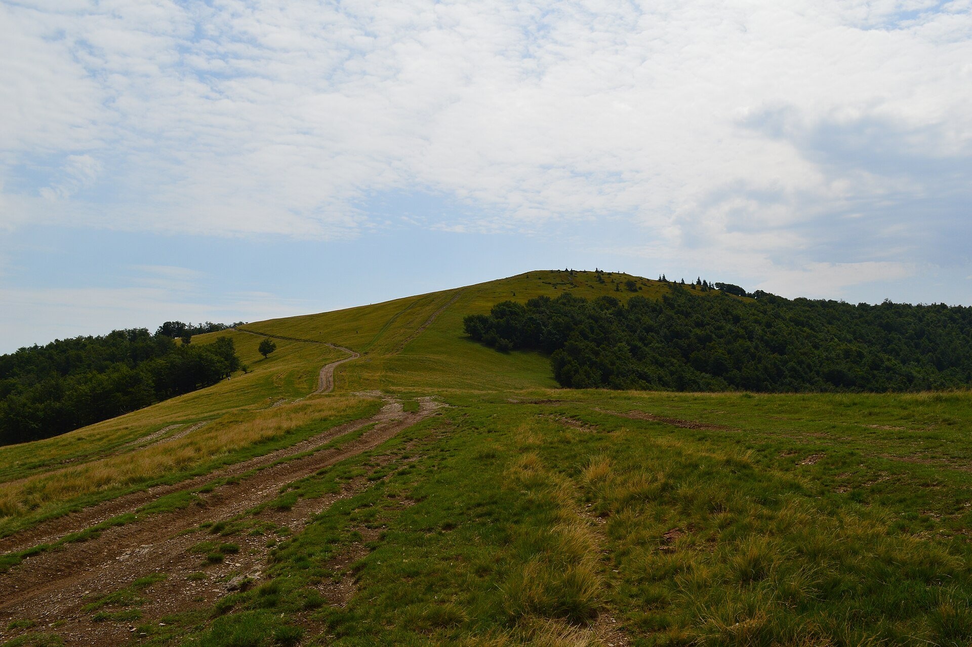
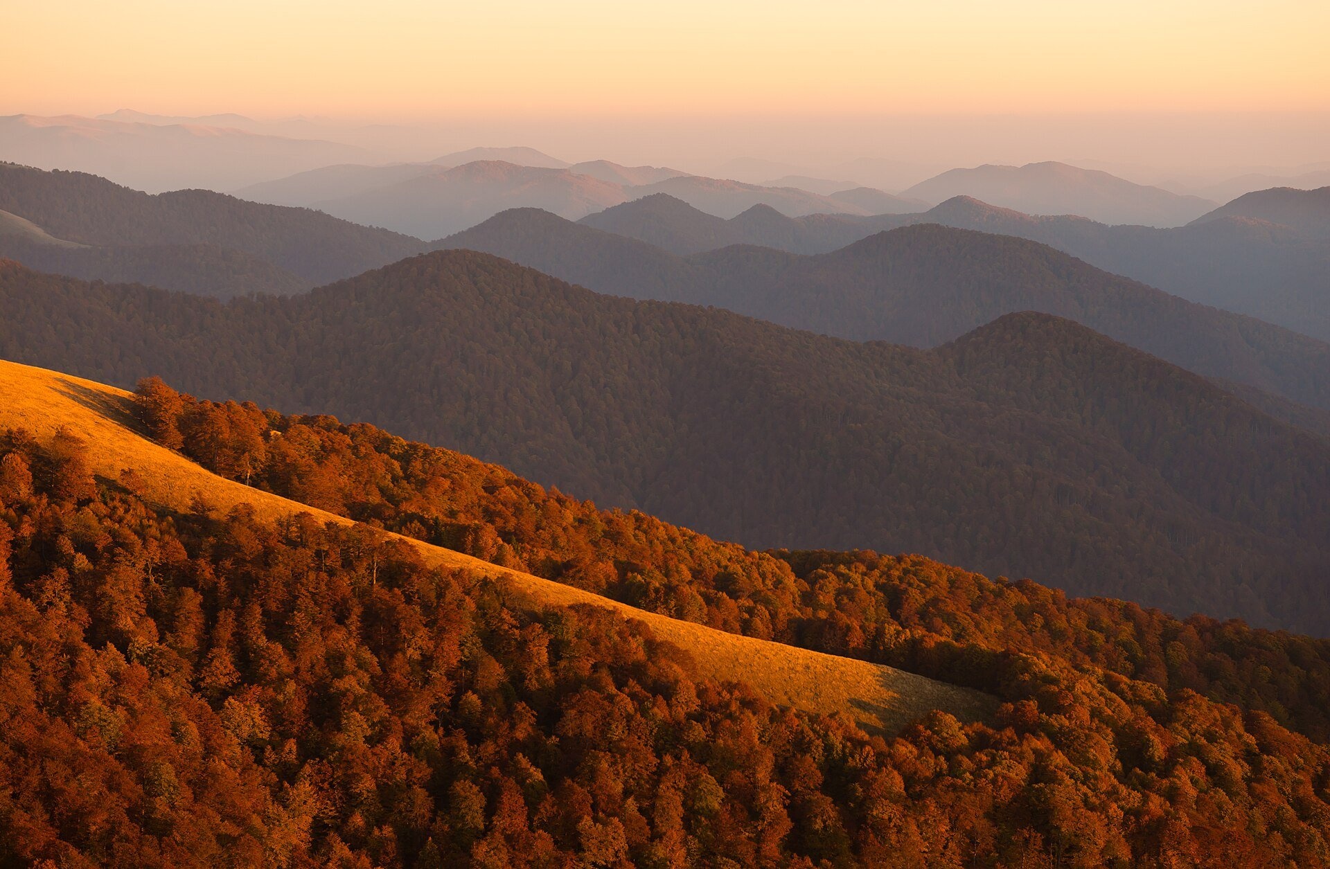
Polonyna Krasna is a massif of the Polonynskyi Ridge in Zakarpattia, in the Tiachiv and partly the Khust districts, between the valleys of the Tereblia and the Teresva. The main ridge, about 35 km long, runs from north-west to south-east in several arcs with numerous side spurs. Up to 1,200–1,500 m the slopes are covered mainly with beech forest; above that lie the polonynas. The highest summit is Syhlanskyi (1,563.8 m), although on some maps the neighbouring southern summit, Ruzha, is a few tens of centimetres higher.
In the local dialect "krasna" means "beautiful", not "red", although in Polish the massif is traditionally called Połonina Czerwona. Krasna is wilder and emptier than Borzhava: there are no resorts or lifts, and the approaches from Kolochava and Ust-Chorna are long. People come here for a multi-day traverse of an open ridge with views of Svydovets and the primeval forests.
What you will see
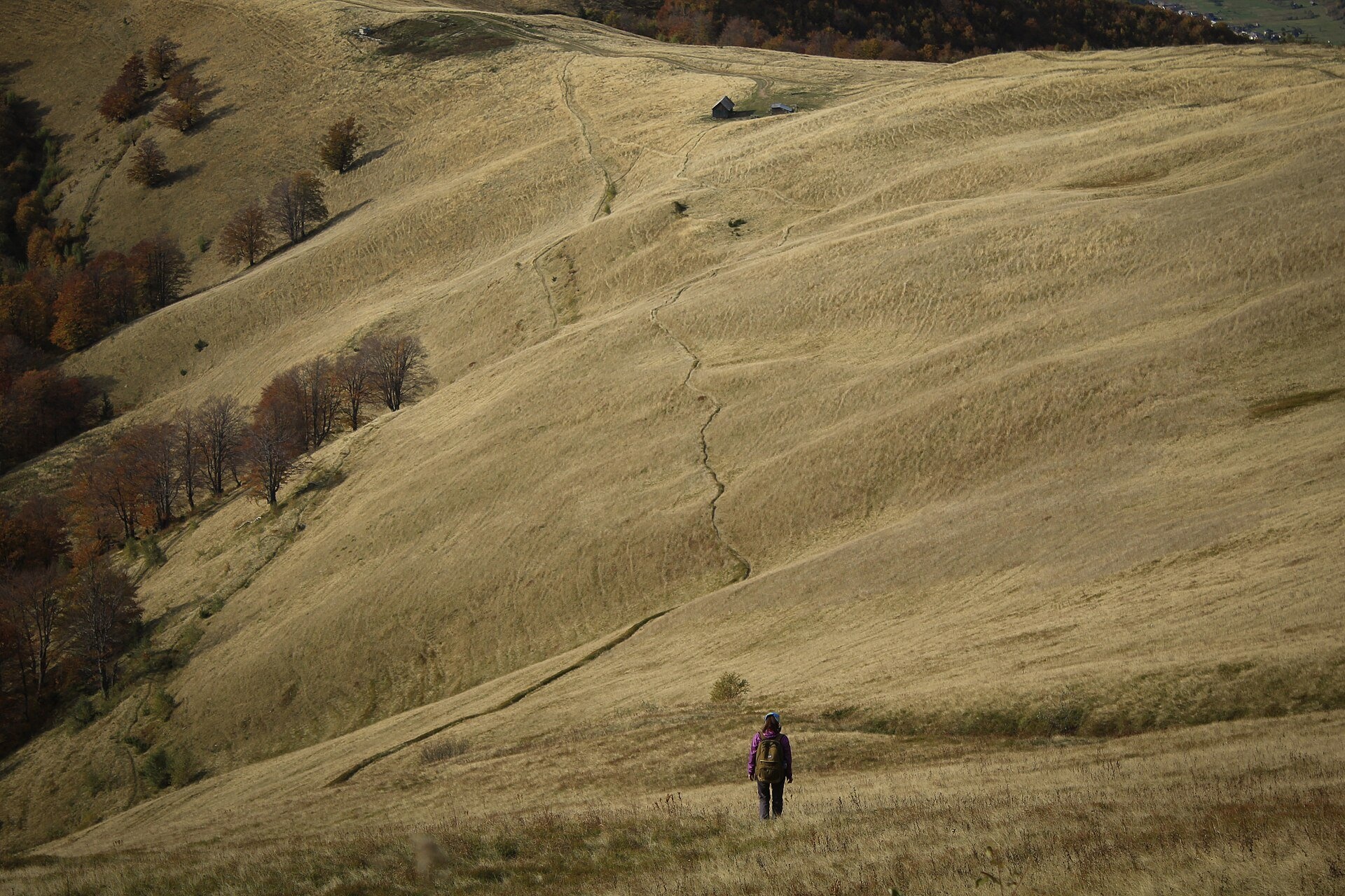
The ridge is a chain of broad grassy summits: Topas (1,548 m) with a communications tower about 65 m high, Syhlanskyi, Ruzha, Hropa (1,495 m), Klymova (1,492 m), Vosova and Krasna Salash. Above 1,200–1,400 m heath meadows dominate, with patches of dwarf mountain pine, and the slopes just below the summits are steep and in places hard to access. From Topas and Syhlanskyi you can see Svydovets to the east, the Pishkonia ridge and Strymba to the north-west, the isolated mountain Menchul (Manchul) to the south-west and, on a clear day, the Gorgany. The southern slopes are covered with the primeval beech forests of the Uholka–Shyrokyi Luh massif of the Carpathian Biosphere Reserve, part of the UNESCO World Heritage site "Primeval Beech Forests of the Carpathians". From mid-July bilberries ripen below Topas, followed by lingonberries, and in autumn the ridge turns russet.
Shepherds, huts and cheese
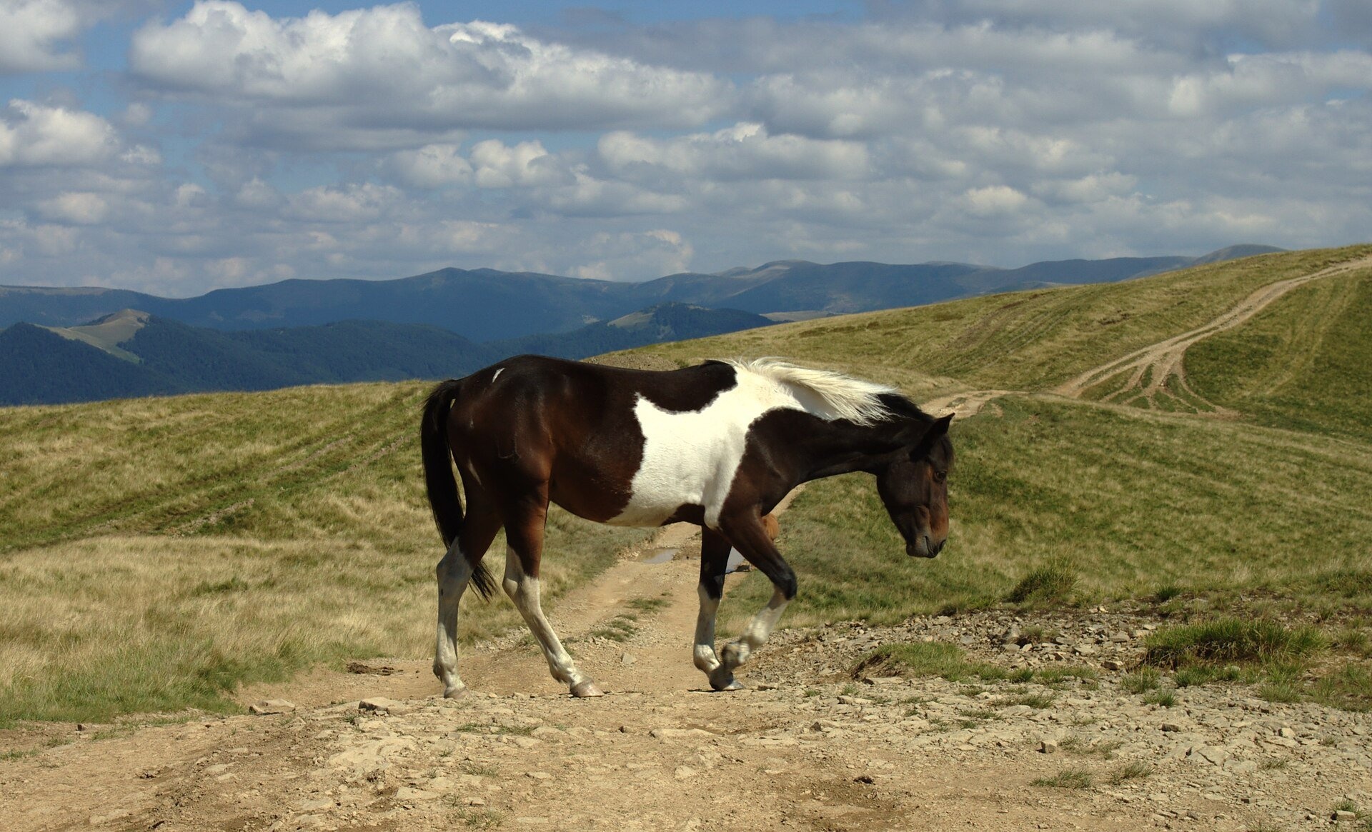
The top of Krasna is one continuous pasture: in season cows and horses graze here, and in summer you may meet herders with cattle near the weather station on the climb from Kolochava. There are several shepherds' huts and shelters on and below the ridge, but we found no confirmed information about working cheese dairies on Krasna itself — ask on the spot whether brynza is being made on the polonyna this year. The herding tradition is alive in Kolochava: there is a shepherding school on Strymba, and you can taste local dishes at the "Zhandarmska Uprava" tavern.
History and legends
As early as 1936 the Czech botanist Alois Zlatník secured the creation of the "Polonyna Krasna" nature reserve here — one of the first protected areas in these mountains. A tower on Topas survives from Soviet times: officially it is linked to monitoring the Urengoy — Pomary — Uzhhorod gas pipeline, but according to a story told by one of the meteorologists and retold on a tourist portal, it had a military purpose, and it was then that the mountain began to be called by the code word "Topas". The name of the highest summit is also confusing: on a pre-war Polish map "Syhlanskyi" was a completely different side peak, and today the two summits of the main ridge, Syhlanskyi and Ruzha, differ in height by only 60 cm.
Routes
- Kolochava — Topas: red marking of the Transcarpathian Tourist Trail, about 7.7 km to the summit. The parallel green route (about 7.5 km) is steeper but runs through forest where no vehicles go and joins the red one after 2 km. The path then passes the weather station, reaches the ridge at a summit with a cross and turns right for another 1.2 km to Topas.
- Ust-Chorna — Kolochava traverse (red stripes): 2–3 days over Mala Klymova, Ruzha, Klymova, Syhlanskyi and Hropa; it can also be walked in reverse. On our site: Ust-Chorna — Klymova — Syhlanskyi — Topas — Kolochava (about 42 km and 1,700 m of ascent) and the variant from Kolochava.
- Long traverses: Kolochava — Krasna — Ust-Chorna — Svydovets — Yasinia and Synevyr — Nehrovets — Krasna — Svydovets — Kvasy; the Transcarpathian Tourist Trail also follows the ridge.
- The blue route Nimetska Mokra — Ust-Chorna and paths from the Pryslip pass lead up to the northern part of the ridge.
There is no easy option here: even Topas means more than 7 km and about 950 m of ascent. Less fit walkers are best off climbing Topas from Kolochava and returning the same way.
Getting there
Kolochava is reached by bus or car from Khust or Mizhhiria along the Tereblia valley. Ust-Chorna is reached from Tiachiv via Dubove along the Teresva valley. The nearest railway station is Tiachiv, then a bus or taxi. A dirt road over the Pryslip pass links Kolochava with Ruska Mokra; its condition changes after heavy rain, so ask locals before driving it in an ordinary car.
When to go and weather
The best time is from June to October. In July and August bilberries ripen on the slopes and berry pickers come up to the ridge, together with off-road vehicles and motorbikes, so it can be noisy in season. September and October bring russet polonynas and clear air. The open ridge offers no protection from wind, thunderstorms and fog; in winter Krasna is snowbound and almost deserted — a hike for experienced people only.
Water, shelters and overnight
Fill up with water on the ridge whenever you can. There are springs near Ruzha (let the water settle), by the Kurna Kolyba hut and lower on the slopes, for example a spring below the ridge at about 1,490 m. Kurna Kolyba sleeps about four people but is draughty; there is room for tents nearby, and the weak spring next to it may only trickle. There is also shelter below the ridge — a hut at about 1,260 m — and at the Pryslip pass there are developed springs and a gazebo. In the villages you can stay in Kolochava, Ust-Chorna, Nimetska Mokra and Ruska Mokra.
Safety
- Walk around cattle and flocks; do not swing at the dogs — call the herder.
- There is nowhere to hide from a thunderstorm on the open ridge: watch the forecast and set off in the morning.
- The waymarks are old in places and the ridge branches — you need an offline map and GPS.
- Bears live around the Pryslip pass and in the primeval forests: make noise on the trail and keep food sealed.
- The southern slopes belong to the Carpathian Biosphere Reserve and the north-western ones to Synevyr National Nature Park: follow the rules and do not light fires outside permitted places.
- Do not climb the tower on Topas — its ladders are in poor condition.
- Emergency numbers: 112, 101 (State Emergency Service, mountain search and rescue), 103.
What visitors say
- Krasna is called one of the most spectacular ridges of the Ukrainian Carpathians; walking the ridge with a backpack takes about eight hours.
- From Kolochava hikers recommend the green route — it goes through the forest without vehicles, whereas the red one has to be shared with berry pickers' jeeps.
- The berry pickers are mostly friendly locals worth talking to: they will point out the path and tell you about the mountains.
- Water on the ridge is weak and unreliable, so everyone going for several days carries a supply.
- There are far fewer people here than on Borzhava, and this quiet is exactly what Krasna is loved for.
- Polish cyclists recall descending from the Pryslip pass past developed springs with mugs, but noticing a bear's footprint next to one of them.
Polonynas and peaks around
- Syhlanskyi — the highest summit of Krasna (1,563.8 m).
- Topas — the summit with the tower above Kolochava.
- Hropa and Klymova — ridge summits on the way to Ust-Chorna.
- Strymba (1,719 m) — a neighbouring summit above Kolochava with wide views.
- Menchul (Manchul) — an isolated mountain in the south-west of the massif.
- Polonyna Borzhava — the western neighbour in the Polonynskyi Ridge.
- Polonyna Blyznytsia — Svydovets, rising to the east beyond the Teresva.
Photos: Wikimapia user rybakot, CC BY-SA 3.0, Wikimedia Commons; WikiMapia user rybakot, CC BY-SA 3.0, Wikimedia Commons; Savka natalya, CC0, Wikimedia Commons; I would appreciate being notified if you use my work outside Wikimedia. More..., CC BY 3.0, Wikimedia Commons; Pavlo Lutsan, CC BY-SA 4.0, Wikimedia Commons; Trayan Mustyatse, CC BY-SA 4.0, Wikimedia Commons; Jan Pešula, CC0, Wikimedia Commons.
Video 2
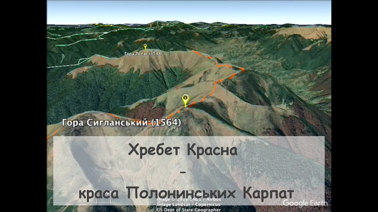 Хребет Красна - краса Полонинських КарпатВ Похід Карпатами

Location on the map
Water and shelter nearby
- Spring (Komsomolsk, 2)260 m · Not verified · 1 486 m
- Spring (Komsomolsk)1.2 km · Not verified · 1 410 m
- Hut (Komsomolsk, 2)1.8 km · Not verified · 1 262 m
- Spring (Komsomolsk, 3)2.3 km · Not verified · 1 328 m
- Spring (Komsomolsk, 4)3 km · Not verified · 1 381 m
Comments
Places to stay nearby
All stays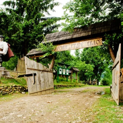 HotelComplex "Stare Selo" MykulychynKolochava9.2 km from Polonyna KrasnaParkingTransferNearby: Holy Spirit Church 200 mMt Strymba 6.9 km10 trails
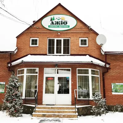 HotelRecreation Complex "Azhio" Mykulychyn VillageKolochava10 km from Polonyna KrasnaSaunaKitchenTransferNearby: Holy Spirit Church 1.2 kmMt Negrovets 7.8 km9 trails
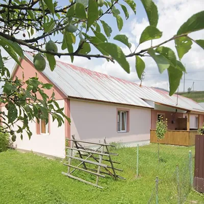 CottageCottage "Yalivets" KolochavaKolochava11 km from Polonyna KrasnaHot tubBBQKitchenNearby: Holy Spirit Church 1.7 kmMt Negrovets 7.3 km9 trails
Trails nearby
All trails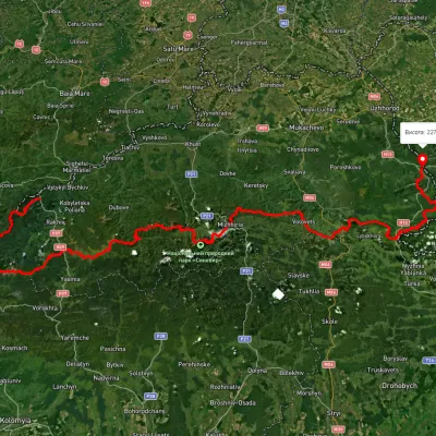 HardMulti-dayMarkedTranscarpathian Tourist TrailElevation profile198–2 031 m393.2 kmascent 30 283 munder 1 km from Polonyna Krasna
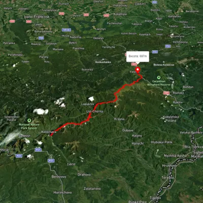 HardMulti-dayUnmarkedKolochava village to Yasiniavia Krasna ridge, Ust-Chorna village +1Elevation profile527–1 756 m81.4 kmascent 3 395 munder 1 km from Polonyna Krasna
 HardMulti-dayUnmarkedKolochava village to Ust-Chorna villagevia Mount Syhlianskyi, Mount Klymova +1Elevation profile515–1 557 m29.4 kmascent 1 742 m≈ 11 h walkingunder 1 km from Polonyna Krasna
Nearby attractions
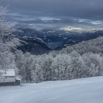 PeakMount SyhlanskyiKolochavaaltitude 1 564 m · Svydovets rangeunder 1 km from Polonyna KrasnaSyhlanskyi is the highest peak of the Polonyna Krasna massif in the Ukrainian Carpathians. It lies in the Tiachiv district of Zakarpattia Oblast, between the villages...
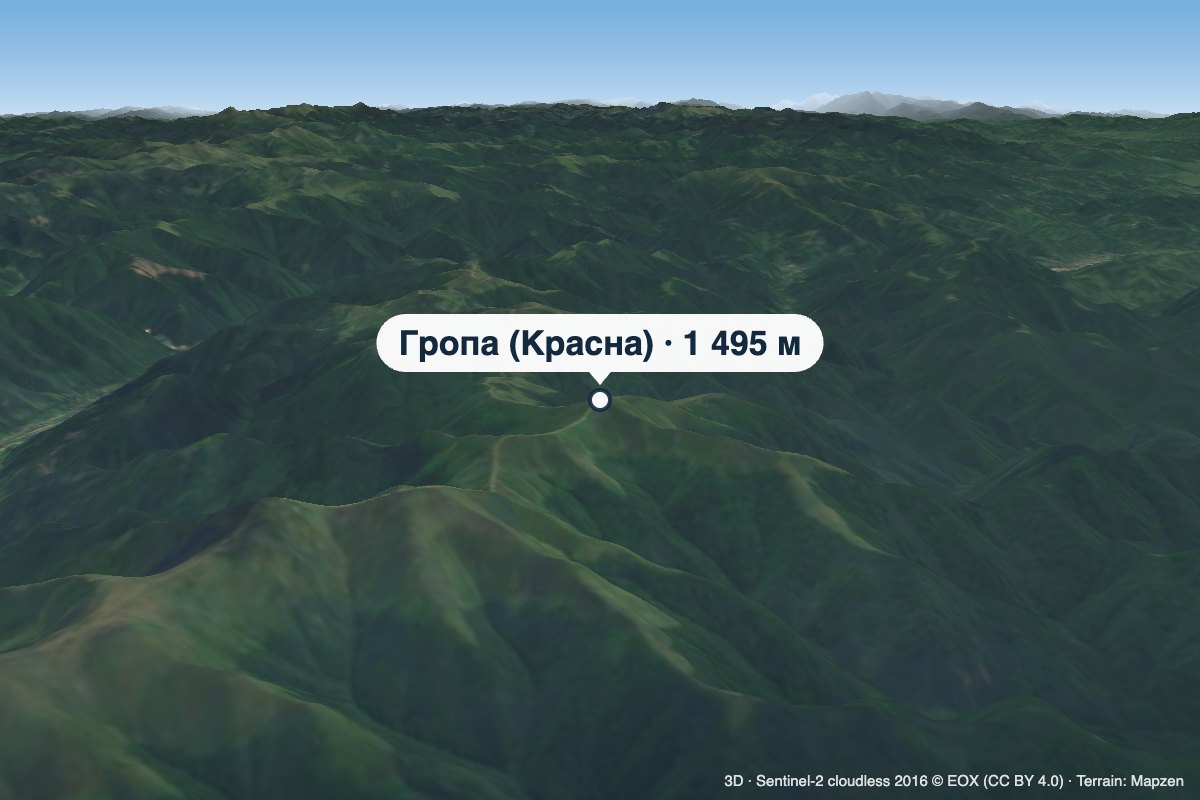 PeakMount Hropa (Krasna)Ruska Mokraaltitude 1 495 m2.8 km from Polonyna KrasnaHropa is a 1,495 m summit in the central part of the main crest of Polonyna Krasna, in the Tiachiv district of Zakarpattia Oblast — not to be confused with the Hropa...
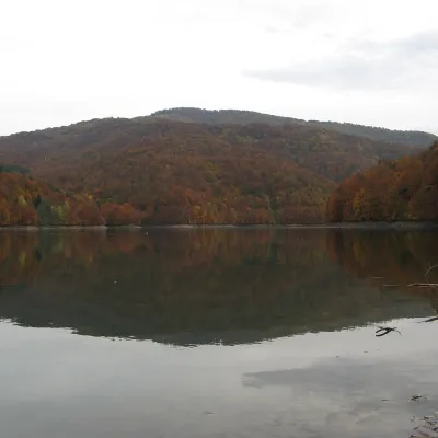 LakeVilshany ReservoirVilshany12 km from Polonyna KrasnaThe Vilshany Reservoir, also called the Tereblia-Rika Reservoir, is a narrow mountain lake in the Tereblia valley between Vilshany and Mereshor, below Kolochava.
Craft nearby
All craft places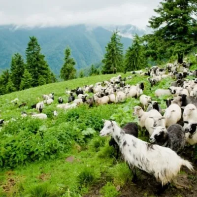 Cheese dairies & pasturesShepherding School on Mount Strymba, KolochavaKolochava11 km from Polonyna KrasnaThe Kolochava Shepherding School is not a building with classrooms but a summer shepherds' camp (salash) on the slopes of Mount Strymba (1,719 m), one of the highest...
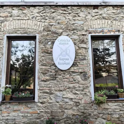 Koliby & Hutsul cuisineKorchma “Zhandarmska Uprava”, KolochavaKolochava11 km from Polonyna KrasnaKorchma “Zhandarmska Uprava” (“The Gendarmerie Station”) is a family-run tavern in the centre of Kolochava, one of the best-known tourist villages in Transcarpathia.
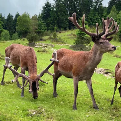 Wildlife parks & animal farmsBioPark Synevyr – Africa in the Carpathians, Synevyrska PolianaSynevyrska Polyana23 km from Polonyna KrasnaBioPark Synevyr – Africa in the Carpathians is a hands-on animal park in the Rabachynka area near Synevyrska Poliana, in the valley of the Chorna river.
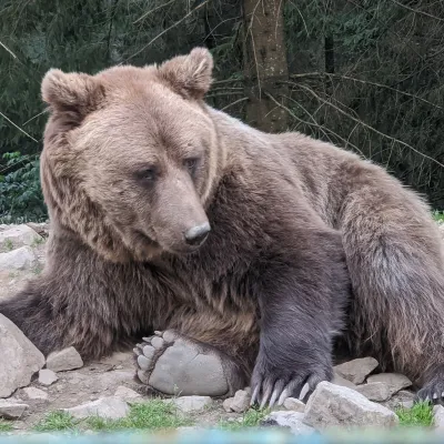 Wildlife parks & animal farmsBrown Bear Rehabilitation Centre, Synevyr National Park, Synevyrska PolianaSynevyrska Polyana24 km from Polonyna KrasnaThe Brown Bear Rehabilitation Centre of Synevyr National Nature Park is Ukraine’s largest refuge for bears that have suffered from cruel treatment.
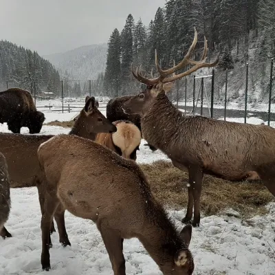 Wildlife parks & animal farmsWolf Valley Eco Park, Synevyrska PolianaSynevyrska Polyana25 km from Polonyna KrasnaWolf Valley Eco Park (Dolyna Vovkiv) is a private animal park in Synevyrska Poliana, in the Mizhhiria area of Zakarpattia, where several kinds of wolves, red deer,...
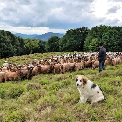 Cheese dairies & pasturesVivcharskyi Khutir Sheep Farm, Synevyrska PolianaSynevyrska Polyana25 km from Polonyna Krasna"Vivcharskyi Khutir" ("Shepherd's Homestead") is an ethno-centre and sheep farm in Synevyrska Poliana, near Lake Synevyr.
