Mount Hropa (Krasna)
Hropa is a 1,495 m summit in the central part of the main crest of Polonyna Krasna, in the Tiachiv district of Zakarpattia Oblast — not to be confused with the Hropa in the Gorgany. Ruska Mokra lies below its north-eastern slopes (about 7 km), Nimetska Mokra is a little closer (about 5.5 km), and ridge hikes usually start in Kolochava or Ust-Chorna (both about 10 km away).
To the north, Hropa neighbours the highest peak of the range, Syhlanskyi (1,564 m, about 2.8 km away), and Ruzha (1,568 m) rises 2.3 km to the north-west. South of Hropa the crest turns east and, over a saddle of about 1,255 m, climbs to Pryslop (1,464 m) and Klymova (1,492 m). The summit’s prominence is about 111 m. Up to 1,300–1,500 m the slopes of Polonyna Krasna are covered mostly with beech forest and dwarf pine, with open pastures above.
How to get there
Five of our routes cross Hropa or pass within 220 m of it. The shortest ridge crossing is Kolochava – Mount Syhlanskyi – Mount Klymova – Mount Ruzha – Ust-Chorna (29.4 km). In the opposite direction runs Ust-Chorna – Mount Klymova – Mount Syhlanskyi – Mount Topas – Kolochava (42.1 km). Longer options are Kolochava – Krasna ridge – Ust-Chorna – Svydovets ridge – Yasinia (81.4 km) and Synevyr – Mount Nehrovets – Mereshor – Krasna ridge – Ust-Chorna – Svydovets ridge – Kvasy (100.3 km). The Transcarpathian Tourist Trail also follows the crest.
Water, shelter and safety
Our map shows the nearest springs about 340 m east (around 1,380 m), 530 m north (around 1,330 m) and 700 m south-east of the summit; their condition is unknown. A hut stands about 1.2 km to the east at roughly 1,220 m, another one 1.9 km to the north-west, and a shelter above Ruska Mokra about 2.4 km to the east. The pasture is exposed to wind and thunderstorms, and in fog the main crest is easy to confuse with its spurs. The nearest summit with our forecast is weather on Mount Stih (about 33 km away), so check the local forecast too. In an emergency call 112 or 101 — contacts of the nearest units are on our mountain rescue page.
Interesting facts
- Short spurs branch off the summit: west to Vydnoha (1,120 m) and south to Konovo (1,318 m).
- From Hropa you can see Borzhava, the Gorgany, Svydovets and Chornohora, and on a clear day the Maramureș and Rodna mountains.
- The mountain lies on the edge of the Carpathian Biosphere Reserve, whose primeval beech forests are a UNESCO World Heritage site.
Comments
Places to stay nearby
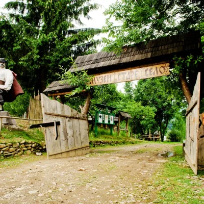 HotelComplex "Stare Selo" Mykulychyn12 km from Mount Hropa (Krasna)ParkingTransferNearby: Holy Spirit Church 200 mMt Strymba 6.9 km10 trails
 HotelRecreation Complex "Azhio" Mykulychyn Village13 km from Mount Hropa (Krasna)SaunaKitchenTransferNearby: Holy Spirit Church 1.2 kmMt Negrovets 7.8 km9 trails
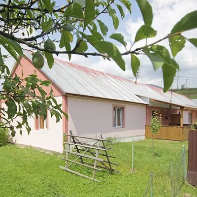 CottageCottage "Yalivets" Kolochava13 km from Mount Hropa (Krasna)Hot tubBBQKitchenNearby: Holy Spirit Church 1.7 kmMt Negrovets 7.3 km9 trails
Trails nearby
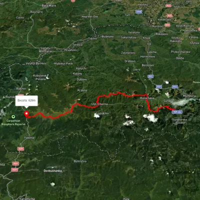 HardMulti-dayUnmarkedSynevyr village to Kvasy villagevia Mount Nehrovets, Mereshor village +3Elevation profile516–1 843 m100.3 kmascent 5 367 munder 1 km from Mount Hropa (Krasna)
 HardMulti-dayMarkedTranscarpathian Tourist TrailElevation profile198–2 031 m393.2 kmascent 30 283 munder 1 km from Mount Hropa (Krasna)
 HardMulti-dayUnmarkedKolochava village to Ust-Chorna villagevia Mount Syhlianskyi, Mount Klymova +1Elevation profile515–1 557 m29.4 kmascent 1 742 m≈ 11 h walkingunder 1 km from Mount Hropa (Krasna)
Nearby attractions
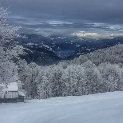 PeakMount Syhlanskyialtitude 1 564 m · Svydovets range2.8 km from Mount Hropa (Krasna)Syhlanskyi is the highest peak of the Polonyna Krasna massif in the Ukrainian Carpathians. It lies in the Tiachiv district of Zakarpattia Oblast, between the villages...
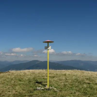 PeakMount Klymovaaltitude 1 492 m4.6 km from Mount Hropa (Krasna)Klymova is a 1,492 m summit of the Polonyna Krasna range. It lies in the Tiachiv district of Zakarpattia Oblast, about 6 km west of the village of Ust-Chorna, which it...
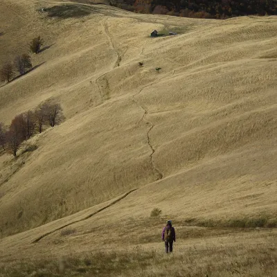 PeakMount Topasaltitude 1 548 m · Svydovets range6.2 km from Mount Hropa (Krasna)Topas is a mountain in the Ukrainian Carpathians, in the Polonyna Krasna massif, Tiachiv district of Zakarpattia Oblast.