Mount Syhlanskyi
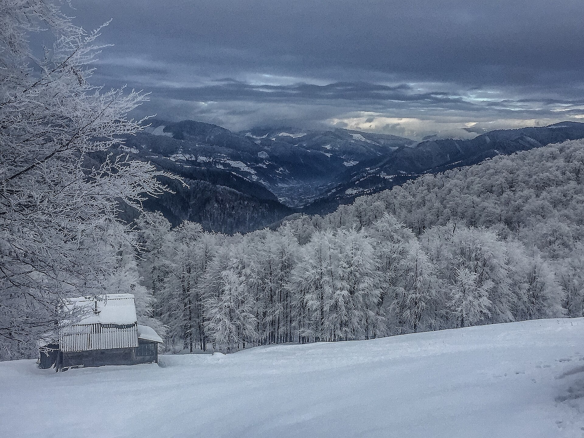
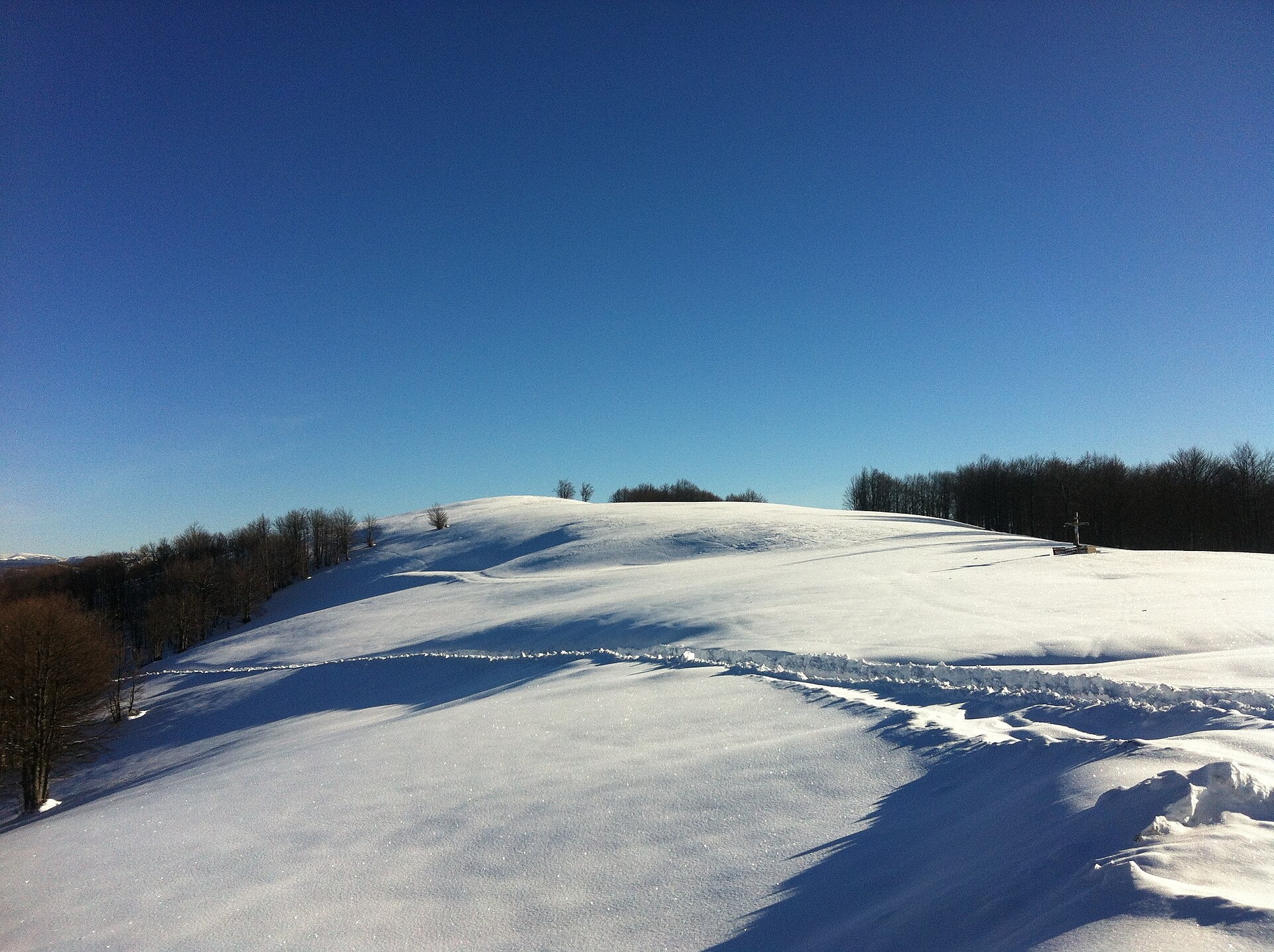
Syhlanskyi is the highest peak of the Polonyna Krasna massif in the Ukrainian Carpathians. It lies in the Tiachiv district of Zakarpattia Oblast, between the villages of Kolochava and Ust-Chorna. It is 1564 m high (1563.8 m according to Wikidata). Locals call the mountain Hromovytsia.
The southern and north-western slopes descend into saddles that link the summit with other peaks of the main ridge. Up to 1100–1200 m the slopes are covered mainly with beech forest, higher up lie mountain meadows. The summit offers views of the surrounding mountains: Svydovets to the east, the Manchul massif to the south-west and the Pyshkonia ridge to the north-west.
The Krasna ridge runs from north-west to south-east, bounded by the Tereblia valley to the west and the Mokrianka valley to the east. Neighbouring tops of the crest are Topas (1548 m) to the north-west and Klymova (1492 m) to the south-east, 6 km from Ust-Chorna.
How to get there
The shortest option from Kolochava is Kolochava – Syhlanskyi – Klymova – Ruzha – Ust-Chorna (29.4 km), crossing the whole central crest of Krasna. The route Ust-Chorna – Klymova – Syhlanskyi – Topas – Kolochava (42.1 km) goes the other way. For a multi-day hike take Kolochava – Krasna ridge – Ust-Chorna – Svydovets ridge – Yasinia (81.4 km); the Transcarpathian Tourist Trail also crosses the summit.
Water, shelter and safety
Our map marks a spot about 2.3 km from the summit where you can take drinking water from a stream. There is no water on the ridge itself, so carry a supply. The Krasna crest is long and treeless: there is no shade in the heat and nowhere to hide in a thunderstorm, so check the forecast and start early. In fog follow the waymarks. The best season is from May to October. In an emergency call 112 or 101; contacts of the nearest units are on the mountain rescue page.
Photos: Trayan Mustyatse, CC BY-SA 4.0; Никитина Виктория Михайловна, CC BY-SA 4.0 — Wikimedia Commons.
Comments
Travellers’ experience: reports, tips, questions.
No one has reported on this trail yet. Been here lately? Tell others what it is like now.
Location on the map
Water and shelter nearby
- Spring (Komsomolsk, 2)250 m · Not verified · 1 486 m
- Spring (Komsomolsk)1.2 km · Not verified · 1 410 m
- Hut (Komsomolsk, 2)1.8 km · Not verified · 1 262 m
- Spring (Komsomolsk, 3)2.3 km · Not verified · 1 328 m
- Spring (Komsomolsk, 4)3 km · Not verified · 1 381 m
Wildlife nearby
All
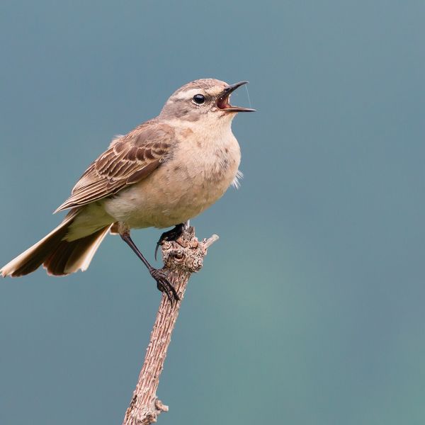
Based on naturalists’ records nearby (GBIF, iNaturalist), matched by altitude, habitat and season. Sightings are not guaranteed.
Places to stay nearby
All stays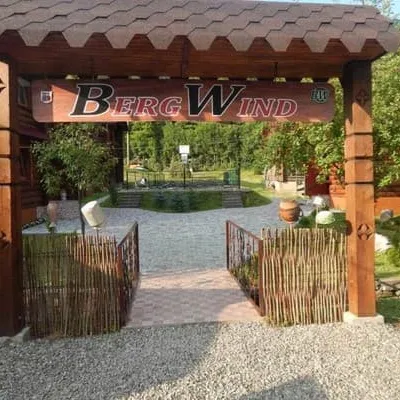 HotelBergWindTyachiv8.1 km from Mount SyhlanskyiSaunaParkingWi‑FiNearby: Mt Klymova 4.0 kmPolonyna Krasna 8.1 km2 trailsfrom 1 000 UAH per night
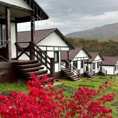 HotelKolochava Eco ResortMizhhiria9.4 km from Mount SyhlanskyiHot tubPoolSaunaNearby: Holy Spirit Church 900 mMt Strymba 6.0 km13 trailsfrom 3 500 UAH per night
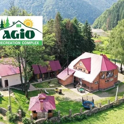 HotelAzhioMizhhiria11 km from Mount SyhlanskyiSaunaBBQParkingNearby: Holy Spirit Church 1.3 kmMt Negrovets 7.8 km12 trailsfrom 1 000 UAH per night
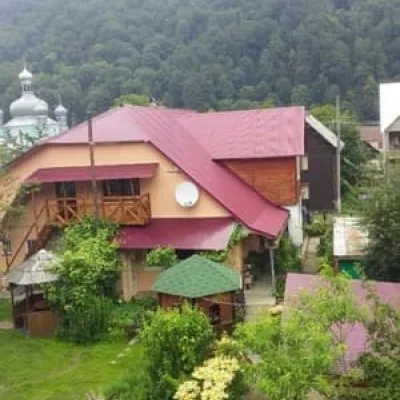 HotelU Halyny ta YosypaTyachiv11 km from Mount SyhlanskyiBBQParkingWi‑FiNearby: Mt Klymova 5.3 kmMt Svydova 7.5 km2 trailsfrom 450 UAH per night
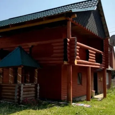 HotelU AnastasiykyMizhhiria19 km from Mount SyhlanskyiHot tubPoolBBQNearby: Synevyr Pass 5.2 kmKamyanka Mountain 7.0 km3 trailsfrom 2 070 UAH per night
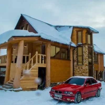 HotelSynevyrskyi ChardashMizhhiria19 km from Mount SyhlanskyiHot tubPoolSaunaNearby: Synevyr Pass 5.2 kmKamyanka Mountain 7.0 km3 trailsfrom 1 200 UAH per night
Trails nearby
All trails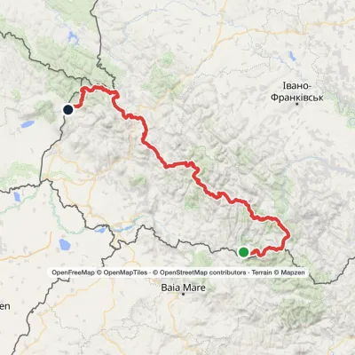 HardMulti-dayMarkedTranscarpathian Tourist TrailElevation profile202–2 061 m393.2 kmascent 17 790 munder 1 km from Mount Syhlanskyi
 HardMulti-dayMarkedKolochava village to Yasiniavia Krasna ridge, Ust-Chorna village +1Elevation profile528–1 762 m81.4 kmascent 3 385 munder 1 km from Mount Syhlanskyi
 Hard1–2 daysMarkedKolochava village to Ust-Chorna villagevia Mount Syhlianskyi, Mount Klymova +1Elevation profile520–1 568 m29.4 kmascent 1 675 m≈ 10 h walkingunder 1 km from Mount Syhlanskyi
Nearby attractions
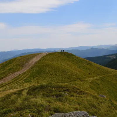 Mountain meadowPolonyna KrasnaKolochavaaltitude 1 450 m · Svydovets rangeunder 1 km from Mount SyhlanskyiPolonyna Krasna is a massif of the Polonynskyi Ridge in Zakarpattia, in the Tiachiv and partly the Khust districts, between the valleys of the Tereblia and the Teresva.
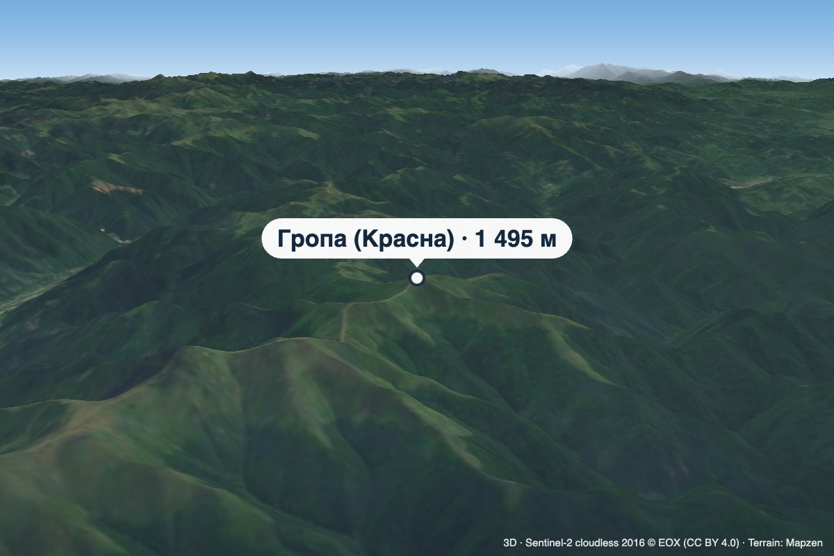 PeakMount Hropa (Krasna)Ruska Mokraaltitude 1 495 m2.8 km from Mount SyhlanskyiHropa is a 1,495 m summit in the central part of the main crest of Polonyna Krasna, in the Tiachiv district of Zakarpattia Oblast — not to be confused with the Hropa...
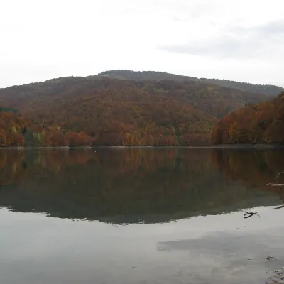 LakeVilshany ReservoirKrasna Polonyna12 km from Mount Syhlanskyi481 m above sea levelarea 72–90 haup to 8 m deepThe Vilshany Reservoir, also called the Tereblia-Rika Reservoir, is a narrow mountain lake in the Tereblia valley between Vilshany and Mereshor, below Kolochava.
Craft nearby
All craft places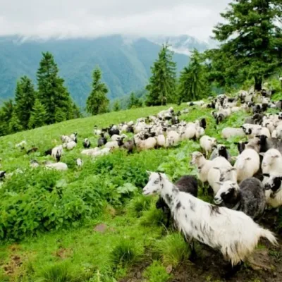 Cheese dairies & pasturesShepherding School on Mount Strymba, KolochavaKolochava11 km from Mount SyhlanskyiThe Kolochava Shepherding School is not a building with classrooms but a summer shepherds' camp (salash) on the slopes of Mount Strymba (1,719 m), one of the highest...
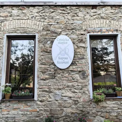 Koliby & Hutsul cuisineKorchma “Zhandarmska Uprava”, KolochavaKolochava11 km from Mount SyhlanskyiKorchma “Zhandarmska Uprava” (“The Gendarmerie Station”) is a family-run tavern in the centre of Kolochava, one of the best-known tourist villages in Transcarpathia.
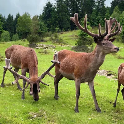 Wildlife parks & animal farmsBioPark Synevyr – Africa in the Carpathians, Synevyrska PolianaSynevyrska Polyana23 km from Mount SyhlanskyiBioPark Synevyr – Africa in the Carpathians is a hands-on animal park in the Rabachynka area near Synevyrska Poliana, in the valley of the Chorna river.
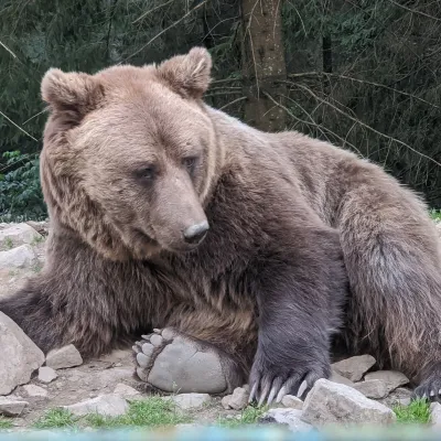 Wildlife parks & animal farmsBrown Bear Rehabilitation Centre, Synevyr National Park, Synevyrska PolianaSynevyrska Polyana24 km from Mount SyhlanskyiThe Brown Bear Rehabilitation Centre of Synevyr National Nature Park is Ukraine’s largest refuge for bears that have suffered from cruel treatment.
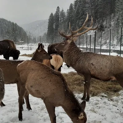 Wildlife parks & animal farmsWolf Valley Eco Park, Synevyrska PolianaSynevyrska Polyana25 km from Mount SyhlanskyiWolf Valley Eco Park (Dolyna Vovkiv) is a private animal park in Synevyrska Poliana, in the Mizhhiria area of Zakarpattia, where several kinds of wolves, red deer,...
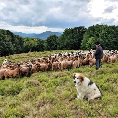 Cheese dairies & pasturesVivcharskyi Khutir Sheep Farm, Synevyrska PolianaSynevyrska Polyana25 km from Mount Syhlanskyi"Vivcharskyi Khutir" ("Shepherd's Homestead") is an ethno-centre and sheep farm in Synevyrska Poliana, near Lake Synevyr.
