Water pipit
About
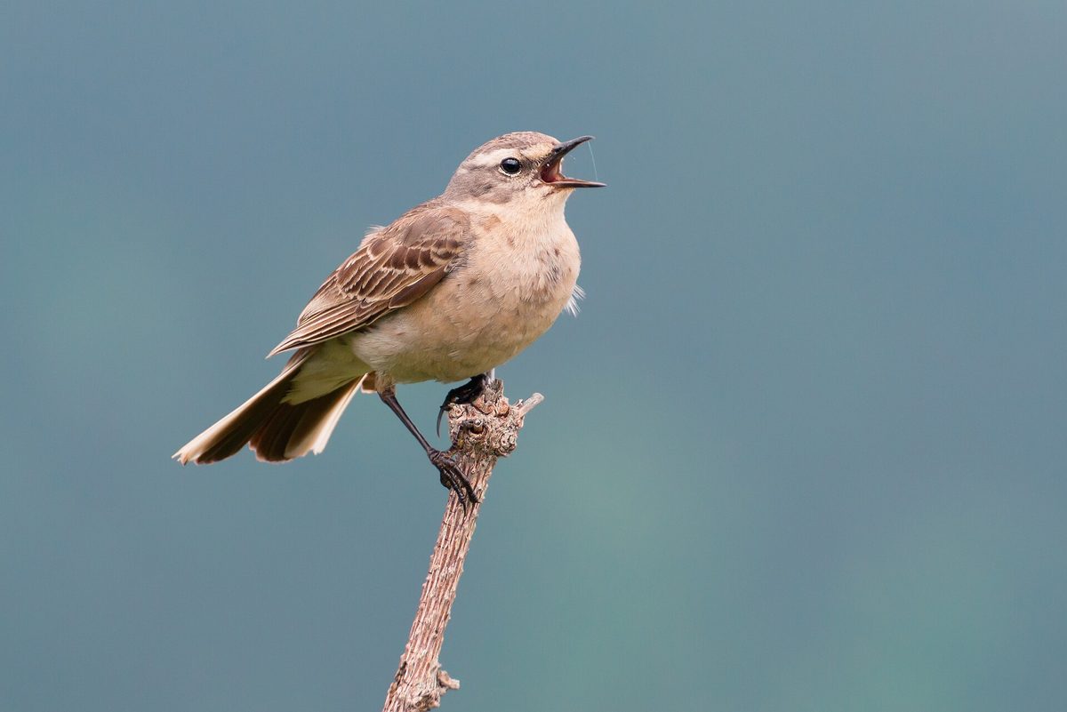
The Water pipit is a bird of the high mountains. In Ukraine, it nests only in the Carpathians, where it prefers alpine meadows and polonynas in the zone of crooked forests, mainly in wet places and on slopes. Overall, in Europe, it nests at altitudes of approximately 600 to 3200 m, most often at 1400–2500 m. In Poland, it lives in the highest parts of the Tatra and Bieszczady.
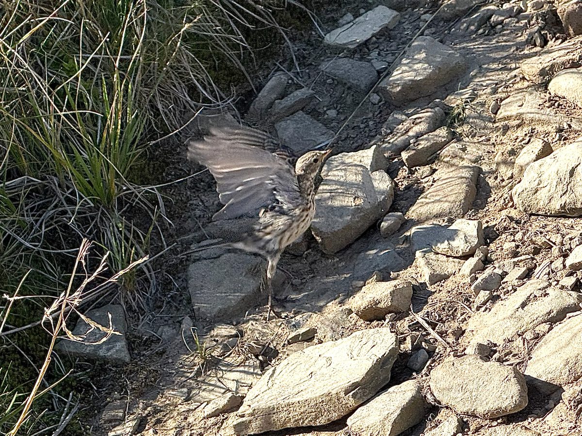
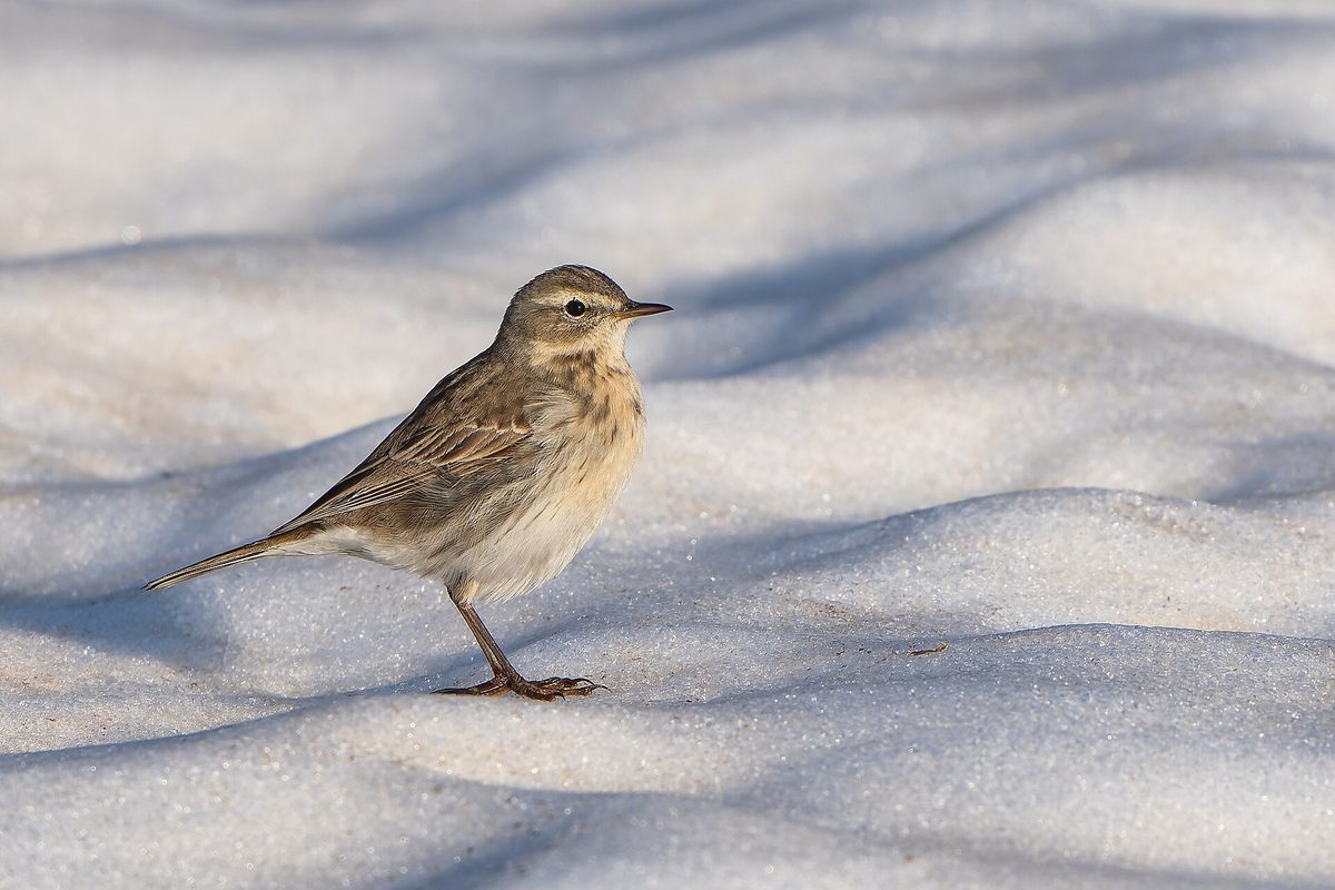
The bird is about 17 cm long and weighs 19–27 g, making it difficult to spot among the grass and stones. In spring, its upper parts are gray with an olive tint, there is a white 'brow' above the eye, and the breast is whitish with a pinkish-buff wash and almost without spots. The outer tail feathers are white, which is noticeable when the bird takes off.
The Water pipit is easiest to notice when the male sings. It ascends 10–30 m, describes an arc, and glides down smoothly while continuously singing a song made up of several short repeated phrases. The call is a quiet short 'zit' or 'zes'. The pipit is quite cautious and will fly far away if approached.
The Water pipit builds its nest on steep slopes, in a depression well hidden by vegetation. It lays eggs in April–May, with a clutch of 4–5 eggs, which the female incubates for 15–16 days. Therefore, in spring, it is advisable to stay on the trails in the polonynas. In Ukraine, the Water pipit is a nesting, migratory, and occasionally wintering species; in winter, the birds mostly descend to lower altitudes. It is not listed in the Red Book of Ukraine.
Where in the Carpathians

The map shows where naturalists recorded the species (GBIF, CC0 and CC BY records), not every place it lives. The Ukrainian Carpathians are less studied, so a blank area does not mean the species is absent.
- Countries
- Poland · Slovakia · Romania · Ukraine · Czechia · Hungary · Serbia · Austria · BG
- Mountain ranges
- Western Tatras, High Tatras, Făgăraș Mountains, Bieszczady, Chornohora, Low Tatras, Babia Góra, Gorgany, Bucegi Mountains, Maramureș Mountains
- Altitude belts
- Foothills (below 600 m) · Beech forests (600–1200 m) · Conifer forests (1200–1600 m) · Subalpine belt (1600–1900 m) · Alpine belt (above 1900 m)
When to see it
| Jan | Feb | Mar | Apr | May | Jun | Jul | Aug | Sep | Oct | Nov | Dec | |
|---|---|---|---|---|---|---|---|---|---|---|---|---|
| Sightings |
From naturalists’ observations in the Carpathians (iNaturalist, research grade): the darker the cell, the more often the species is seen that month.
Protection and rules
It is not listed in the Red Book of Ukraine.
FAQ
What bird sings while soaring over the polonyna?
Often it is the Water pipit: the male ascends 10–30 m and then glides down smoothly while singing.
Where in Ukraine does the Water pipit nest?
Only in the Carpathians — in alpine meadows and polonynas in the zone of crooked forests.
Similar species
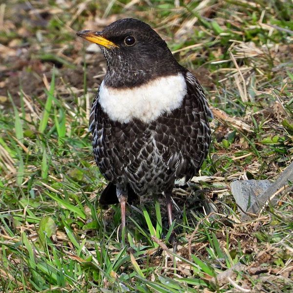
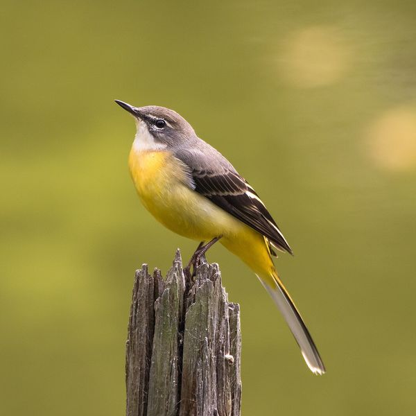
Where to meet it
Trails
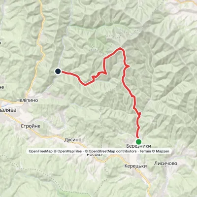 HardMulti-dayBerezniky village to Vovchyi villagevia Mount Ivolove, Mount Stiy +1Elevation profile288–1 681 m28.5 kmascent 1 436 m≈ 10 h walking
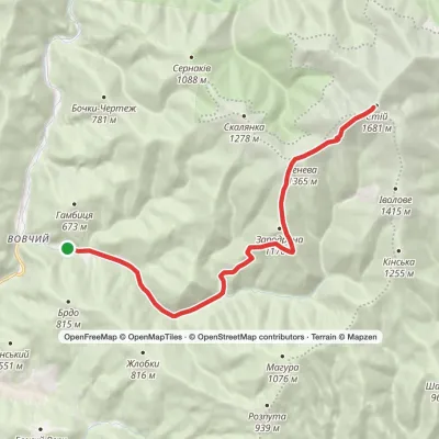 HardTwo-dayMarkedVovchyi village to Mount Stiyvia Mount ZenevaElevation profile321–1 671 m22.9 kmascent 1 350 m≈ 8.5 h walking
 ModerateOne-dayMount Petros Mount HoverlaElevation profile1 498–2 061 m9.9 kmascent 646 m≈ 4 h walking
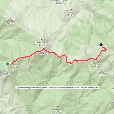 ModerateTwo-dayMarkedShumnieska polonyna to Kozneska polonynavia Mount Petros, Mount HoverlaElevation profile1 385–2 061 m15.3 kmascent 1 084 m≈ 6 h walking
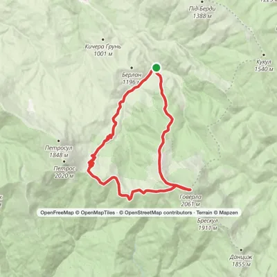 HardTwo-dayMarkedKozmeshchyk loopvia Mount Petros, Mount HoverlaElevation profile870–2 061 m21.7 kmascent 1 284 m≈ 8 h walking
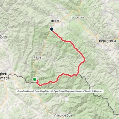 HardMulti-dayMarkedDilove village to Yasiniavia Mount Pip Ivan Marmaroskyi, Mount Pip Ivan Chornohirskyi +2Elevation profile363–2 061 m90.7 kmascent 5 079 m
 HardMulti-dayMarkedDilove village to Lazeshchyna villagevia Mount Pip Ivan Marmaroskyi, Mount Pip Ivan Chornohirskyi +1Elevation profile359–2 061 m91.6 kmascent 4 252 m
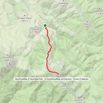 ModerateTwo-dayMarkedKozmeshchyk loopvia Mount HoverlaElevation profile864–2 061 m15.9 kmascent 1 205 m≈ 6.5 h walking
 ModerateTwo-dayMarkedKozmeshchyk loopvia Mount HoverlaElevation profile868–2 061 m15.3 kmascent 1 201 m≈ 6 h walking
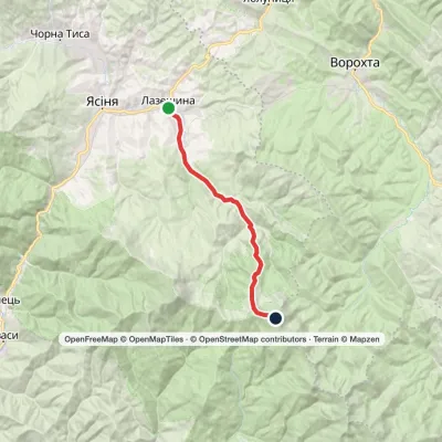 HardTwo-dayMarkedLazeshchyna village to Mount Hoverlavia KozmeshchykElevation profile718–2 061 m16.7 kmascent 1 357 m≈ 7 h walking
 HardMulti-dayDilove village to Mount Hoverlavia Mount Pip Ivan Marmaroskyi, Mount Mika-Mare +1Elevation profile346–2 061 m64 kmascent 4 648 m
 HardMulti-dayMarkedYasinia to Luhy villagevia Mount Petros, Mount Hoverla +1Elevation profile628–2 061 m61.4 kmascent 3 194 m
Peaks and meadows
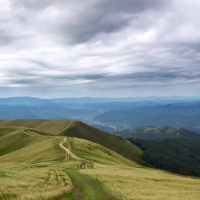 PeakMount ApetskaDubovealtitude 1 512 m2 trails to the topApetska is a peak in the Ukrainian Carpathians, on the border of the Tyachiv and Rakhiv districts of Zakarpattia region.
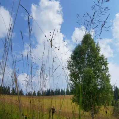 Mountain meadow1 184 mPolonyna ShuvarenkoNadvirna districtShuvarenko Polonyna is a high mountain meadow in the Ukrainian Carpathians, located in Ivano-Frankivsk region near...
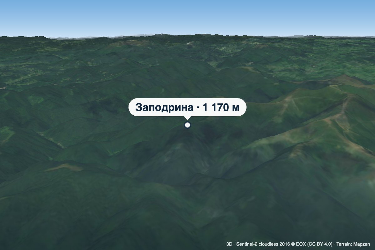 PeakMount ZapodrynaVovchyialtitude 1 170 m · Borzhava rangeZapodryna is a 1,170 m summit on the south-western spurs of the Polonyna Borzhava massif in Zakarpattia Oblast.
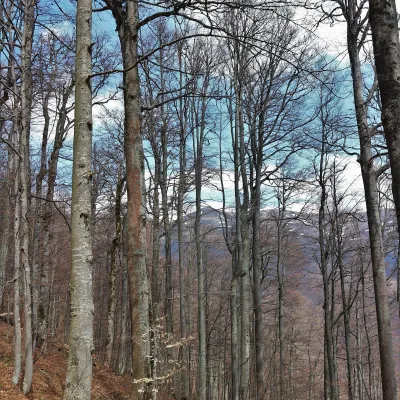 PeakMount KinskaVovchyialtitude 1 255 m · Borzhava rangeKinska is a 1,255 m summit in the Polonyna Borzhava massif in Zakarpattia Oblast.
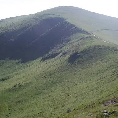 PeakMount TrojaskaChorna Tysaaltitude 1 702 m · Svydovets range37 trails to the topThe mountain is located in Rakhiv district of Zakarpattia region within the central part of the Svydovets mountain...
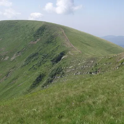 PeakMount DogyaskaChorna Tysaaltitude 1 761 m · Svydovets range38 trails to the topDogyaska is a peak in the Ukrainian Carpathians, located in the central part of the Svydovets mountain range.
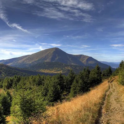 PeakMount PetrosYasinyaaltitude 2 020 m · Chornohora range92 trails to the topPetros (2020 m) is the fourth highest mountain in Ukraine, in the north-western part of Chornohora in Zakarpattia.
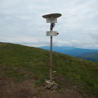 PeakMount HeryshaskaChorna Tysaaltitude 1 762 m · Svydovets rangeMount Heryshaska (1762 m) is a summit on the main ridge of the Svydovets range in Rakhiv district, Zakarpattia Oblast.
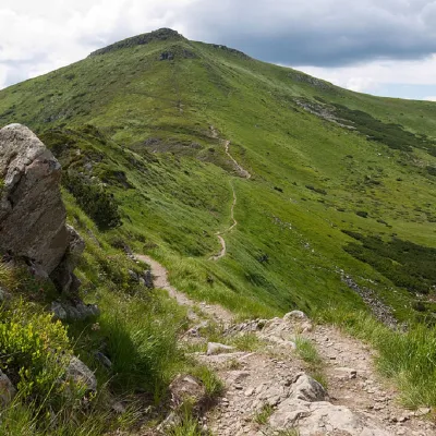 PeakMount TurkulBystretsaltitude 1 933 m · Chornohora range93 trails to the topTurkul, 1933 meters high, is one of the peaks of the Ukrainian Carpathians, located in the Chornohora mountain range.
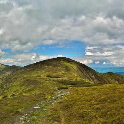 PeakMount DantsizhBystretsaltitude 1 850 m · Chornohora range89 trails to the topDantsizh (also known as Danzer) is a peak of the Ukrainian Carpathians, 1850 meters high.
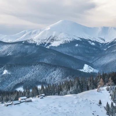 PeakMount HoverlaVorokhtaaltitude 2 061 m · Chornohora range109 trails to the topHoverla (2061 m) is the highest mountain in Ukraine, in the Chornohora range on the border of the Ivano-Frankivsk and...
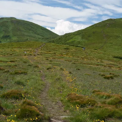 PeakMount PozhyzhevskaBystretsaltitude 1 822 m · Chornohora range83 trails to the topMount Pozhyzhevska (or Pozhezhevska) is one of the peaks of the Ukrainian Carpathians.
Waters and waterfalls
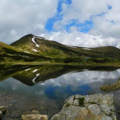 LakeHigh-mountainous Lake Nesamovite (1750 m.a.s.l., Chornohora ridge)VorokhtaNesamovyte is one of the highest lakes in the Ukrainian Carpathians (1750 m above sea level).
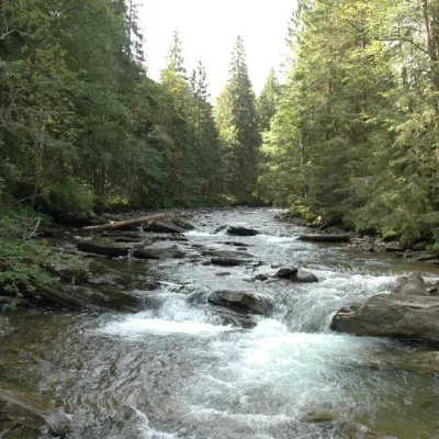 RiverPrutKryvopilliaThe Prut River is a river that connects several countries and is of great natural, historical and cultural importance.
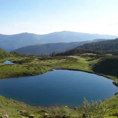 LakeLake VorozheskayaChorna TysaThe real pearl of the Carpathians - Lake Vorozheska (other names - Vorozheska, Triton ) - is a hydrological natural...
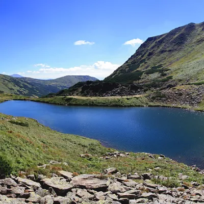 LakeLake BrebeneskulLuhyBrebeneskul is the highest mountain lake in the Ukrainian Carpathians (1801 m above sea level), a hydrological...
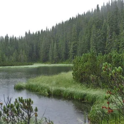 LakeLake MaricheykaYavirnyk (Shybene)Lake Maricheyka is one of the most picturesque high-altitude glacial lakes in the Carpathians, located on the...
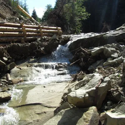 WaterfallSiruchok waterfallTovarnytsiaSiruchok is a waterfall located in the Putyla district of the Chernivtsi region of Ukraine. its height reaches about...
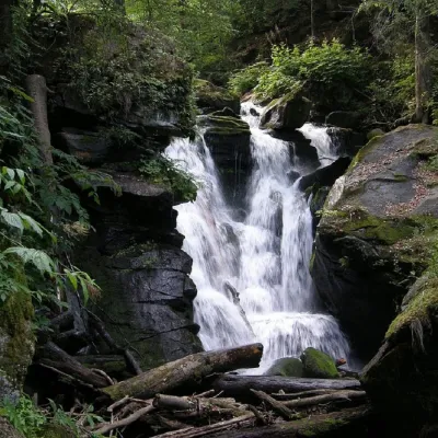 WaterfallVojvodyn waterfallPolianska HutaThe Voyevodyn Waterfall is located on the stream of the same name near the village of Zhdeniyevo in Zakarpattia...
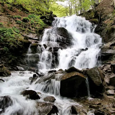 Waterfall"Shypit Waterfall" PylypetsPylypetsIn a cozy corner of the Carpathian Mountains, among the evergreen mountain forests and steep, sharp cliffs, lies the...
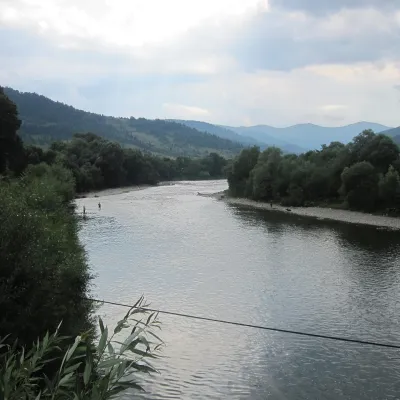 RiverStryi RiverTurkaThe Stryi is one of the largest Carpathian tributaries of the Dniester: 232 km from its source between Mount Yavirnyk...
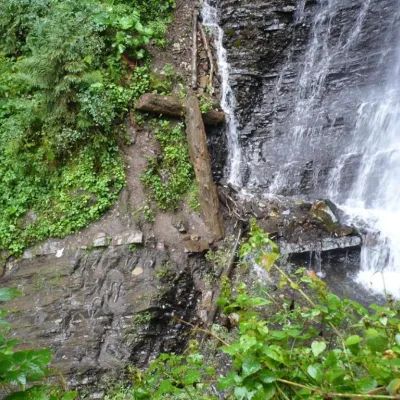 WaterfallZhenetsky Hook waterfallMykulychynZhenetskyi Huk is one of the most convenient Carpathian waterfalls for tourists, as it is accessible by a direct,...
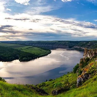 RiverDniesterVovcheThe Dniester is one of the most famous and largest rivers in Ukraine. The Dniester has been used as an important...
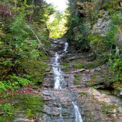 WaterfallBukovinian (Smugar) waterfallsRoztokyA picturesque chain of waterfalls, up to two kilometers long, stretches along the Smuhariv River in Bukovyna, in the...
Mountain ranges: Bieszczady, Chornohora, Gorgany, Maramureș Mountains, Svydovets. In other countries: 🇸🇰 Western Tatras, 🇸🇰 High Tatras, 🇷🇴 Făgăraș Mountains, 🇸🇰 Low Tatras, 🇵🇱 Babia Góra, 🇷🇴 Bucegi Mountains, 🇸🇰 Lesser Fatra, 🇵🇱 Żywiec Beskids, 🇸🇰 Belianske Tatras
Trails and peaks near which naturalists recorded the species (GBIF, iNaturalist), matched by altitude and habitat. Sightings are not guaranteed.
Sources
- Вікіпедія: Щеврик гірський
- Wikipedia (en): Water pipit
- Wikipedia (pl): Siwerniak
- Перелік видів тварин, що заносяться до Червоної книги України (наказ Міндовкілля від 19.01.2021 № 29, зареєстровано в Мін'юсті 01.03.2021 за № 260/35882)
- Міндовкілля: текст переліку видів тварин Червоної книги України (PDF)
- GBIF: таксон і категорія МСОП
GBIF · iNaturalist · Wikidata · Distribution data: GBIF.org (CC0 and CC BY records), iNaturalist; names and identifiers: Wikidata (CC0). Text: Karpaty.rocks, checked 09.11.2026.
