Mount Dogyaska
Dogyaska is a peak in the Ukrainian Carpathians, located in the central part of the Svydovets mountain range. The mountain is located in Rakhiv district of Zakarpattia region.
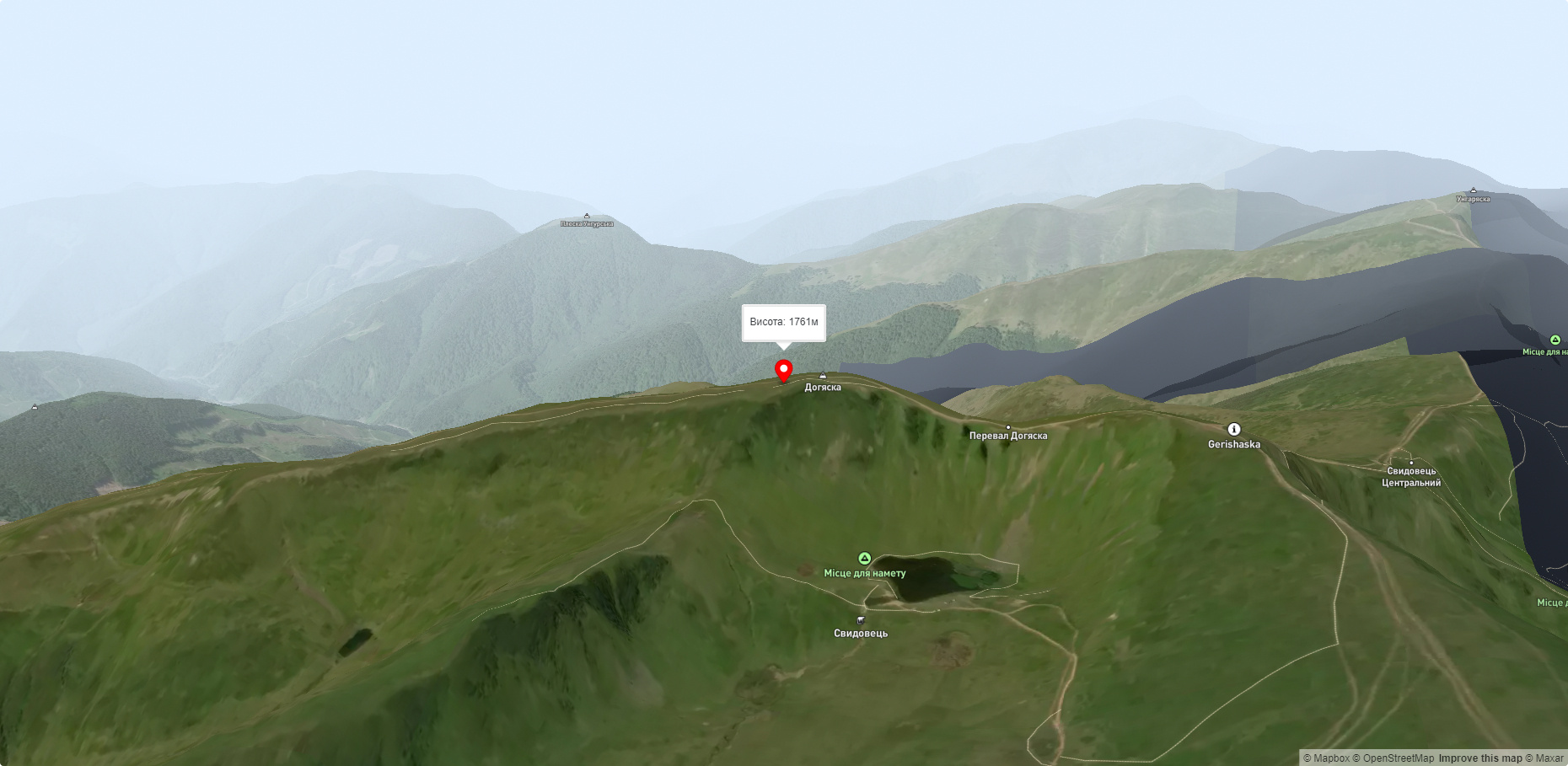
The height of Dogyaska is 1761 m (according to other information - 1764 m).
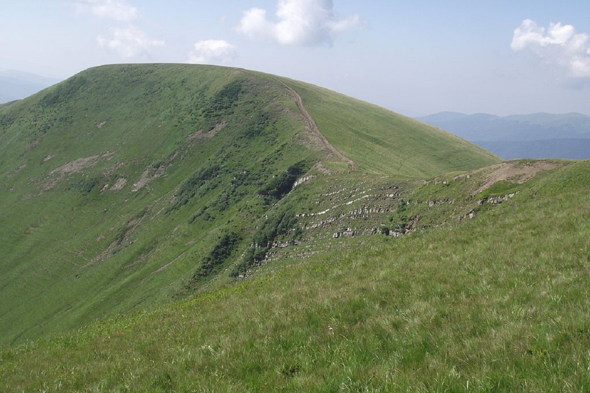
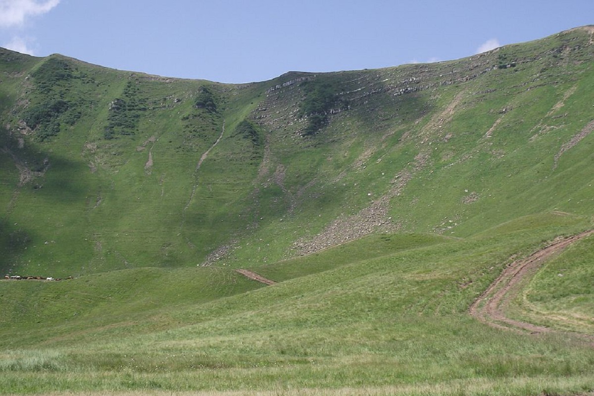
The southern, southeastern and northern slopes of the peak are gentle, the northeastern and western slopes are steep. The peak is completely treeless - covered with alpine and subalpine vegetation.
To the north of Dogyaska there is a bridge connecting it with the main ridge of Svydovets, to the northwest - Mount Troiaska, to the south - Vedenska Polonyna, to the east - Mount Velykyi Kotel.
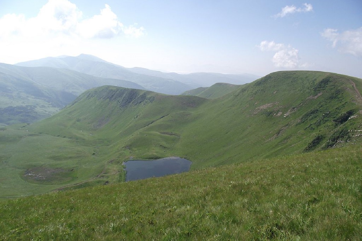
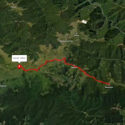
At the foot of the mountain (to the northeast) in one of the glacial carriages there is a high-mountainous lake Dogyaska (another name - Gerashaska, Lake Gereshavske), which lies at an altitude of 1577 meters above sea level.
The nearest settlements are the villages of Kosivska Polyana and Chorna Tysa in the Rakhiv district of Zakarpattia region.
Accommodation around Mount Dogyaska:


Nearby hiking trails near Mount Dogyaska:
Which trails pass by Mount Dogyaska?
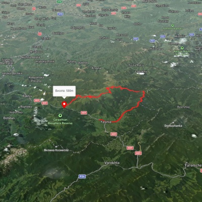
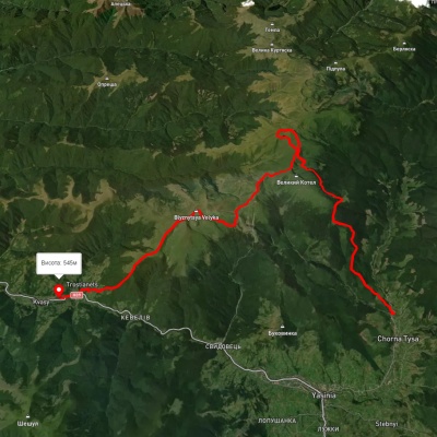
We suggest these hiking trails through or near Mount Dogyaska: Mount Berliaska, via Mount Unhariaska and Mount Troiaska to Lake Dohiaska, Yasinia, via Mount Chorna Kleva, Mount Bratkivska, Mount Dohiaska and Mount Blyznytsia to Kvasy village, Chorna Tysa village, via Mount Dohiaska, Mount Velykyi Kotel and Mount Blyznytsia to Kvasy village, Kvasy village, via Mount Blyznytsia, Mount Stih, Mount Velykyi Kotel and Chorna Tysa village to Yasinia, Dragobrat, via Mount Velykyi Kotel, Mount Lohiaska and Mount Troiaska to Chorna Tysa village, Kvasy village, via Mount Blyznytsia, Mount Velykyi Kotel and Mount Dohiaska to the Yablunytsia Pass