Kozmeshchykloop, via Mount Petros, Mount Hoverla
Unmarked trailmore
It may be partly marked. Unmarked trails have no information boards, signposts or auxiliary signs (water, campsite, etc.). The decision to walk the trail is entirely your own responsibility.
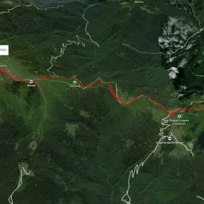
Trail map
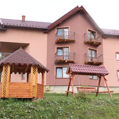
Where to stay nearby

About the trail
Route Kozmeshchyk, via Mount Petros and Mount Hoverla to Kozmeshchyk. Along the route you will see: Mount Hoverla.
At a glance
A one-day loop route of 21.7 km with 1,357 m of ascent, starting and finishing at Kozmeshchyk. Estimated walking time: about 7.5 h, not counting stops. Difficulty: hard. Waymarking is missing or partial.
Route stages
- 0–8 kmClimb of 650 m (up to 1,522 m)
- 8–12 kmAlong the ridge at 1,510–1,570 m
- 12–14 kmClimb of 440 m to Mount Hoverla (2,061 m)
- 14–22 kmDescent of 1,130 m (down to 873 m)
Steepest kilometre: km 13–14, a climb of 260 m (≈25%), near Mount Hoverla.
Water and overnight stays
Springs near the trail: at km 0, 1, 3, 6, 8, 9, 11, 13, 16 and 18 etc.. Some springs run low or dry up in late summer.
Huts and shelters near the trail: Mountain shelter “Kozmeshchyk” (km 0), Hut at Loshchyna (km 3), Mountain shelter below Mount Petros (km 6), Mountain shelter below Mount Petros (2) (km 6), Hut below Mount Petros (km 7), Hut on Polonyna Holovcheska (km 7), Hut (Luhy) (km 10), Eco point “Peremychka” (hut) (km 12) etc..
When to go
Best time: June to September. In winter only for experienced hikers with proper gear: avalanche danger is possible. About 10 km of the route runs above 1,500 m, where the weather changes quickly — check the forecast.
Getting there
Start: Kozmeshchyk. This is a loop: it brings you back to the start.
FAQ
- How long does the route take?
- Estimated walking time: about 7.5 h, not counting stops.
- Is there water on the route?
- Springs near the trail: at km 0, 1, 3, 6, 8, 9, 11, 13, 16 and 18 etc.. Some springs run low or dry up in late summer.
- Where can I stay overnight?
- Huts and shelters near the trail: Mountain shelter “Kozmeshchyk” (km 0), Hut at Loshchyna (km 3), Mountain shelter below Mount Petros (km 6), Mountain shelter below Mount Petros (2) (km 6), Hut below Mount Petros (km 7), Hut on Polonyna Holovcheska (km 7), Hut (Luhy) (km 10), Eco point “Peremychka” (hut) (km 12) etc..
Water and shelter on the route
- Spring (Voronenko, 7)km 0 from the start · Not verified · 866 m
- Mountain shelter “Kozmeshchyk”km 0 from the start · 60 m off the path · Not verified · 870 m
- Spring (Lazeshchyna, 5)km 1.3 from the start · Not verified · 921 m
- Spring (Lazeshchyna, 4)km 2.5 from the start · Not verified · 1 006 m
- Spring (Lazeshchyna, 2)km 2.9 from the start · 60 m off the path · Not verified · 1 042 m
- Hut at Loshchynakm 3 from the start · 80 m off the path · Standing · 1 042 m
- Spring below Mount Petros (7)km 5.9 from the start · Not verified · 1 394 m
- Mountain shelter below Mount Petroskm 6 from the start · 110 m off the path · Not verified · 1 404 m
- Mountain shelter below Mount Petros (2)km 6 from the start · 100 m off the path · Not verified · 1 403 m
- Hut below Mount Petroskm 6.3 from the start · Not verified · 1 429 m
- Hut on Polonyna Holovcheskakm 6.5 from the start · 140 m off the path · Standing · 1 431 m
- Spring below Mount Petros (3)km 7.5 from the start · 250 m off the path · Not verified · 1 529 m
- Spring below Mount Petros (8)km 8 from the start · Not verified · 1 540 m
- Spring below Mount Petros (10)km 8.7 from the start · Not verified · 1 544 m
- Spring (Luhy)km 9.5 from the start · Not verified · 1 523 m
- Hut (Luhy)km 9.5 from the start · 160 m off the path · Not verified · 1 470 m
- Spring (Luhy, 2)km 11.1 from the start · 90 m off the path · Not verified · 1 540 m
- Eco point “Peremychka” (hut)km 11.2 from the start · Standing · 1 536 m
- “Carpathian Highlands” information and tourist centre (shelter)km 11.3 from the start · Standing · 1 534 m
- Spring below Mount Hoverla (2)km 11.6 from the start · 100 m off the path · Not verified · 1 577 m
- Spring below Mount Hoverla (5)km 12.7 from the start · Has water · 1 748 m
- Spring below Mount Hoverla (6)km 13.3 from the start · 70 m off the path · Not verified · 1 802 m
- Eco point “At the foot of Hoverla” (hut)km 14.5 from the start · Standing · 1 832 m
- Spring below Mount Hoverla (4)km 15.2 from the start · Not verified · 1 788 m
- Spring (Voronenko, 8)km 17.3 from the start · Not verified · 1 450 m
- Hut on Polonyna Hropa (2)km 17.4 from the start · 230 m off the path · Not verified · 1 354 m
- Captured spring (Voronenko)km 18.6 from the start · Not verified · 1 261 m
Comments
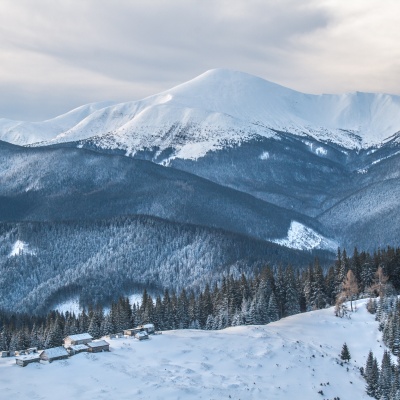
What to see on the trail
Trails nearby
All trails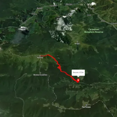 ModerateTwo-dayUnmarkedKozmeshchyk loopvia Mount HoverlaElevation profile859–2 055 m15.3 kmascent 1 236 m≈ 6.5 h walking
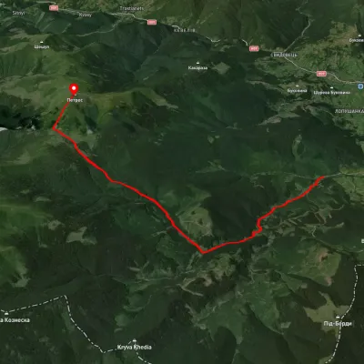 ModerateOne-dayUnmarkedKozmeshchyk Mount PetrosElevation profile753–2 002 m12.5 kmascent 1 319 m≈ 6 h walking
 ModerateOne-dayUnmarkedMount Petros Mount HoverlaElevation profile1 492–2 041 m9.9 kmascent 782 m≈ 4 h walking