Mount Pozhyzhevska
Mount Pozhyzhevska (or Pozhezhevska) is one of the peaks of the Ukrainian Carpathians. It is located in the northwestern part of the Chornohora mountain range on the border of Zakarpattia and Ivano-Frankivsk regions.
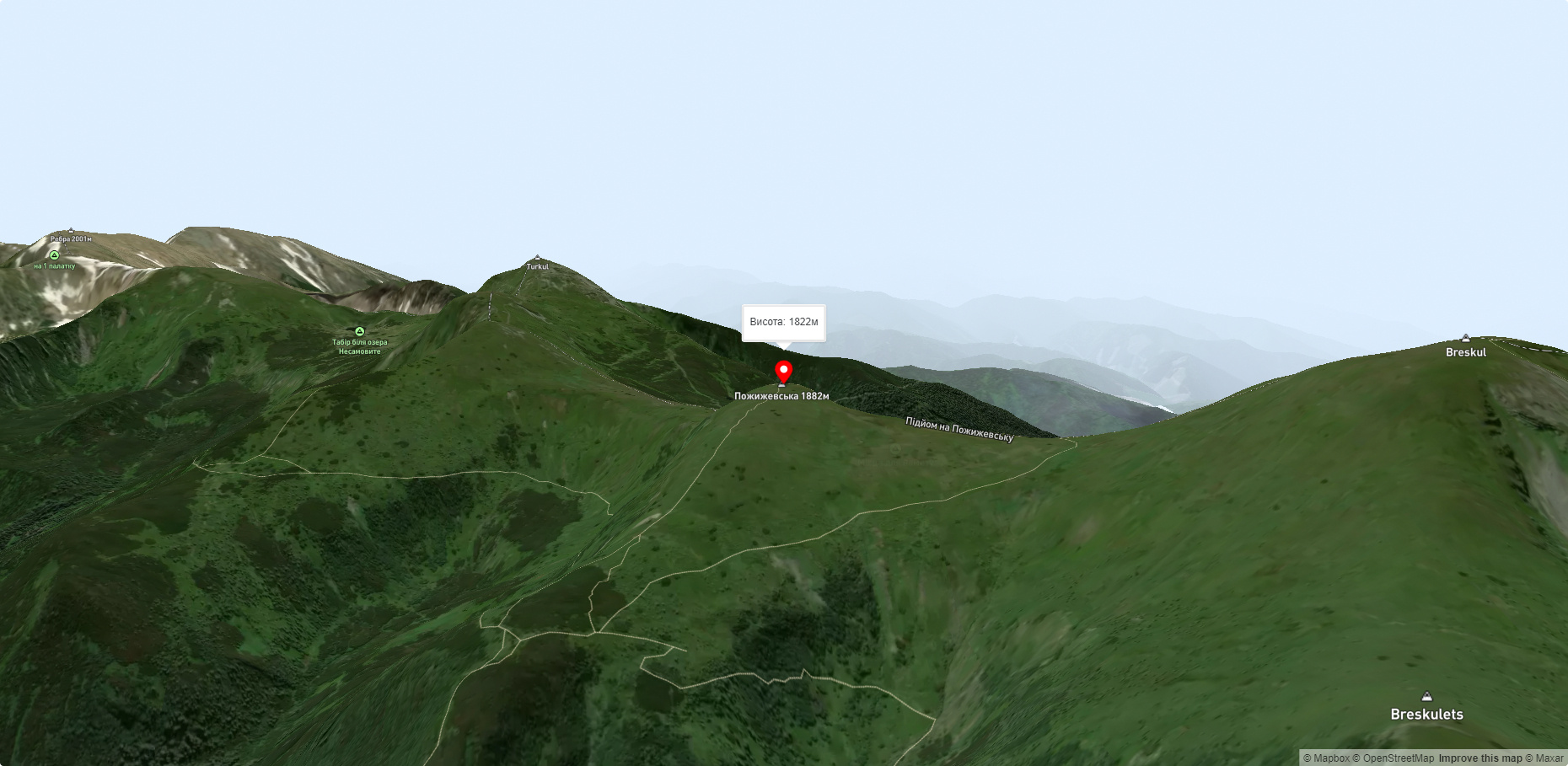
The height of the peak is 1822 meters.
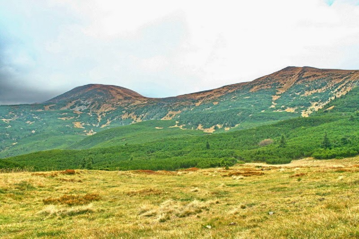
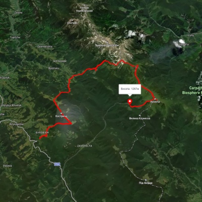
To the northwest of Pozhyzhevska is Mount Breskul (1911 m), to the northeast, on the territory of the eponymous meadow, at an altitude of about 1550 m, is the Snow Avalanche Station and Biostationary of the Institute of Carpathian Ecology of the National Academy of Sciences of Ukraine, to the southeast is Mount Dantsizh (1850 m), to the south is Lake Verkhne, which, by the way, is one of the highest lakes in the Ukrainian Carpathians, and to the southwest is the Ozernyi tract.
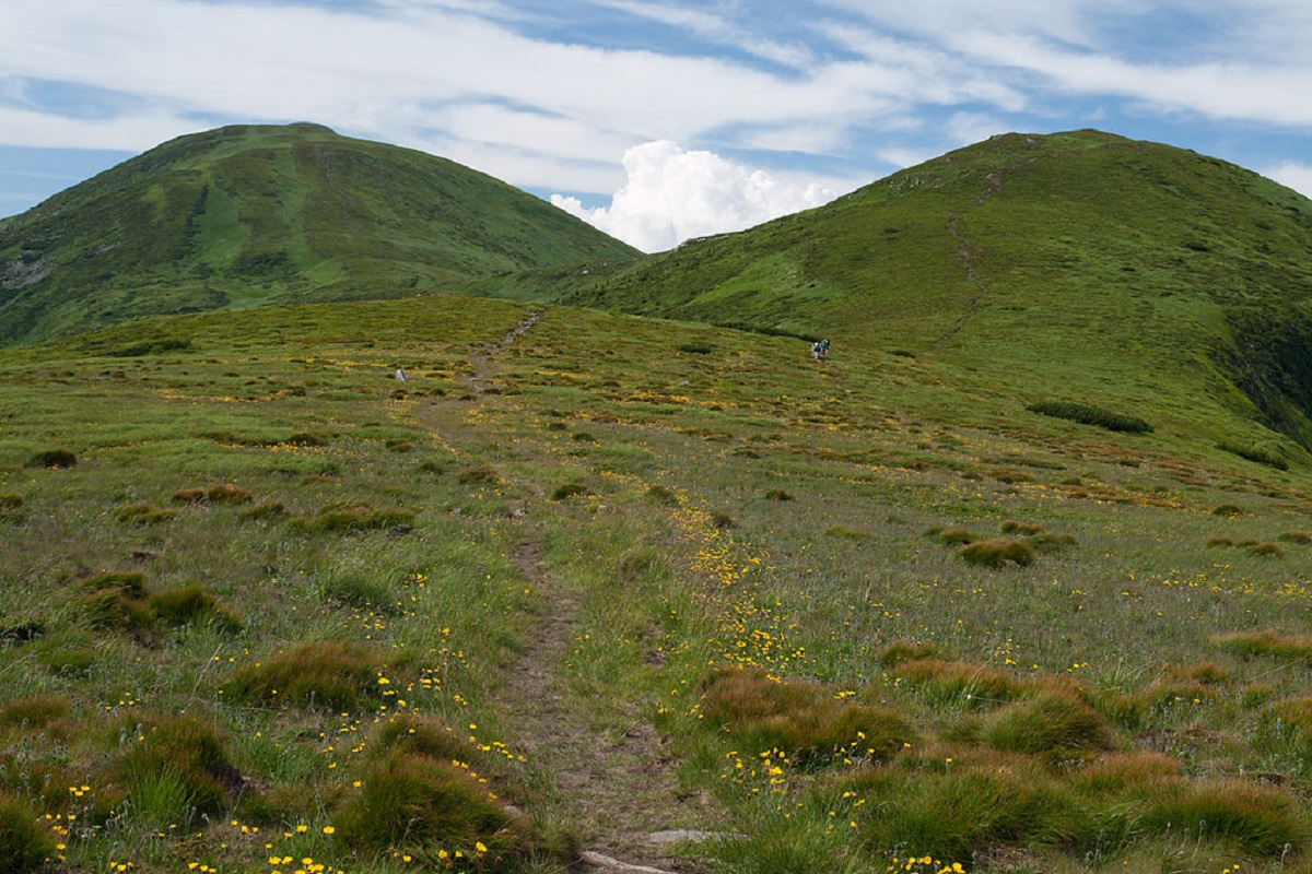
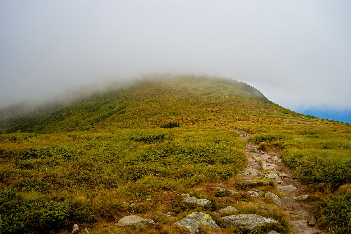
The relief and vegetation of Pozhyzhevska is typical for the Chornohora range. The slopes of the peak are generally gentle, except for its western side, where there are very dangerous steep rocky cliffs.
The nearest settlement is the village of Bystrets, Verkhovyna district, Ivano-Frankivsk region.
Accommodation around Mount Pozhyzhevska:


Nearby hiking trails near Mount Pozhyzhevska:
Which trails pass by Mount Pozhyzhevska?
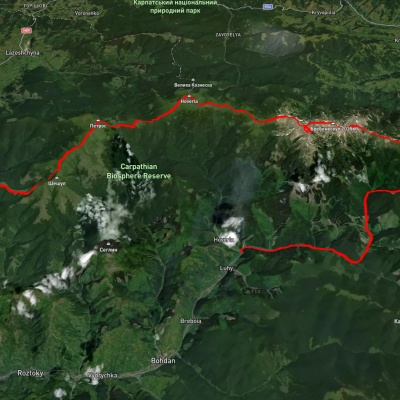
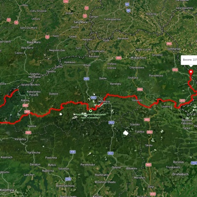
We suggest these hiking trails through or near Mount Pozhyzhevska: Kryvopillia village, via Mount Shpytsi and Mount Hoverla to Zaroslyak base, Luhy village, via Mount Pip Ivan Chornohirskyi, Mount Rebra, Mount Hoverla, Mount Petros and Mount Sheshul to Kvasy village, Transcarpathian Tourist Trail, Luhy village, via Mount Hutyn Tomnatyk, Mount Rebra, Lake Nesamovyte and Mount Pozhyzhevska to Zaroslyak base, Zaroslyak base, via Mount Hoverla and Mount Pozhyzhevska to Zaroslyak base, Zaroslyak base, via Mount Hoverla and Mount Pozhyzhevska to Zaroslyak base