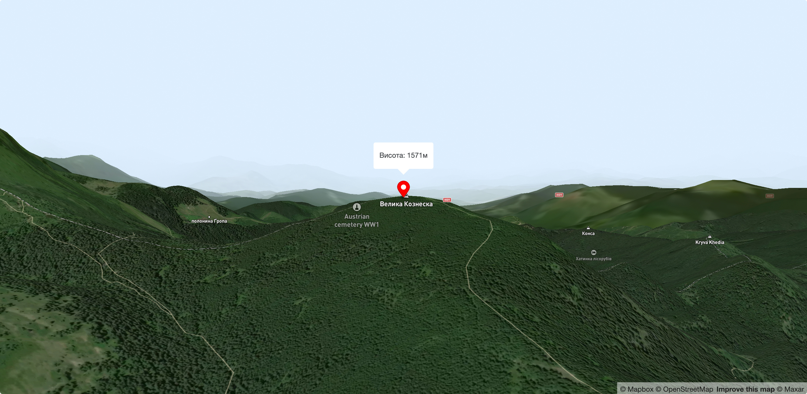
Mount Velyka Kozmeska
Mount Wielkie Kozmeska is a peak with an altitude of 1571.7 meters above sea level. The mountain has the shape of a pyramid with three gentle spurs. A small section of the peak is covered with grasses, stunted fir trees, juniper and blueberry bushes. The peak of the mountain is marked with a concrete post #4. There is plenty of space for camping. Mount Hoverla is visible through the trees.
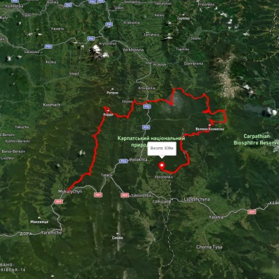
One of the routes (duration - 3 days, route length - 49.5 km, altitude difference - 1301 m) starts in the village of Lazeshchyna and runs first along the track and then along a joke road to Mount Verkh-Debry (1237 m), then a traverse path leads to the Hryhorivka meadow, where you can take a break. From here, the route continues to the peaks of Kukul (1539 m), Velyka Kozmeska (1571 m) and Hoverla (2061 m). From the top, you can descend to the Zaroslyak sports center (overnight stay is possible), then to the village of Vorokhta. The route can also be walked in the opposite direction, starting from Vorokhta.
Along the route, you can visit the ethnographic museum and the wooden Peter and Paul Church (1780) in the village of Lazeshchyna.
Accommodation around Mount Velyka Kozmeska:


Nearby hiking trails near Mount Velyka Kozmeska:
Which trails pass by Mount Velyka Kozmeska?
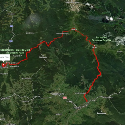
We suggest these hiking trails through or near Mount Velyka Kozmeska: Mykulychyn village, via Mount Khorde, Mount Pozhyzhevska, Mount Hoverla and Mount Kukul to Voronenko village, Yasinia, via Mount Petros, Mount Hoverla and Mount Kukul to Vorokhta, Dilove village, via Mount Pip Ivan Marmaroskyi, Mount Pip Ivan Chornohirskyi, Mount Hoverla and Mount Kukul to Vorokhta, Voronenko village, via Mount Kukul, Mount Hoverla and Mount Pip Ivan Chornohirskyi to Iltsi village, Voronenko village, via Mount Kukul, Mount Hoverla and Mount Pip Ivan Chornohirskyi to Zelene village, Shybene village, via Mount Pip Ivan Chornohirskyi, Mount Hoverla, Mount Petros and Kozmeshchyk to Zaroslyak base

