Voronenko
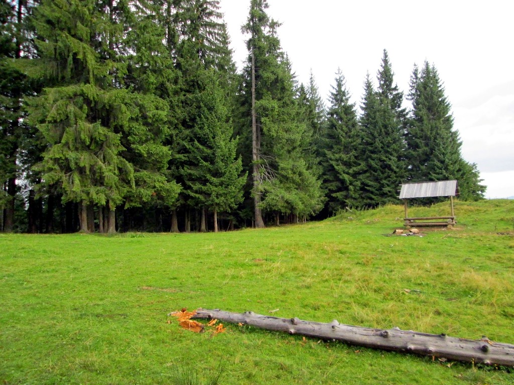
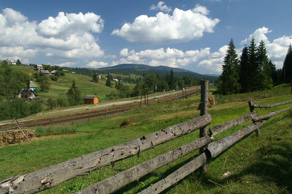
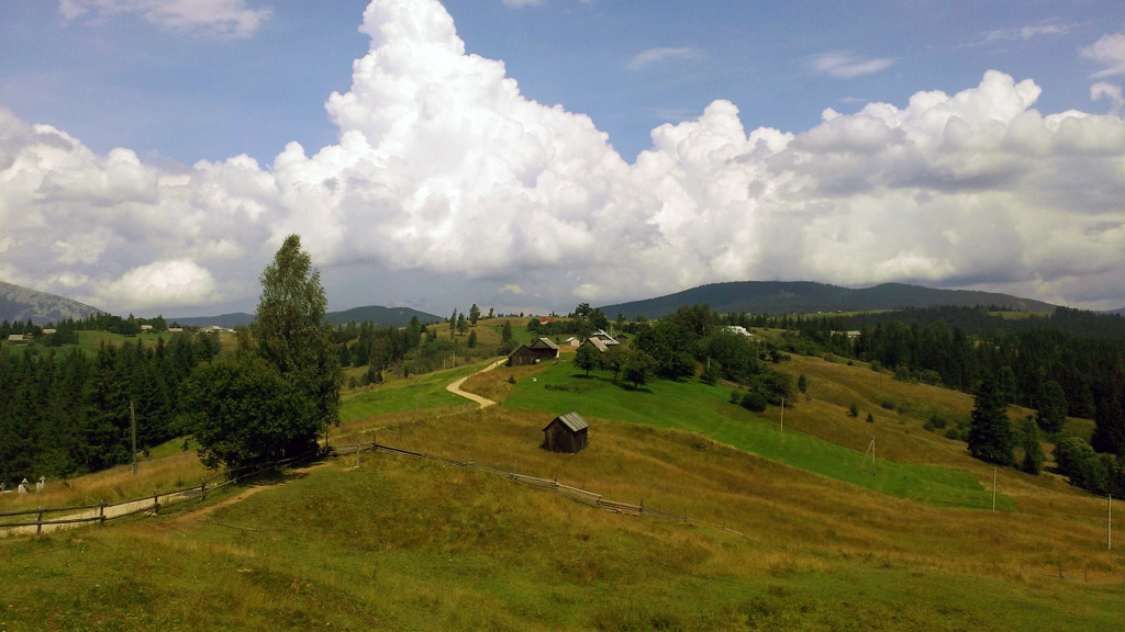
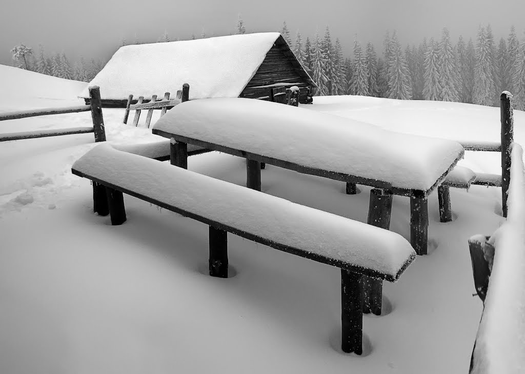
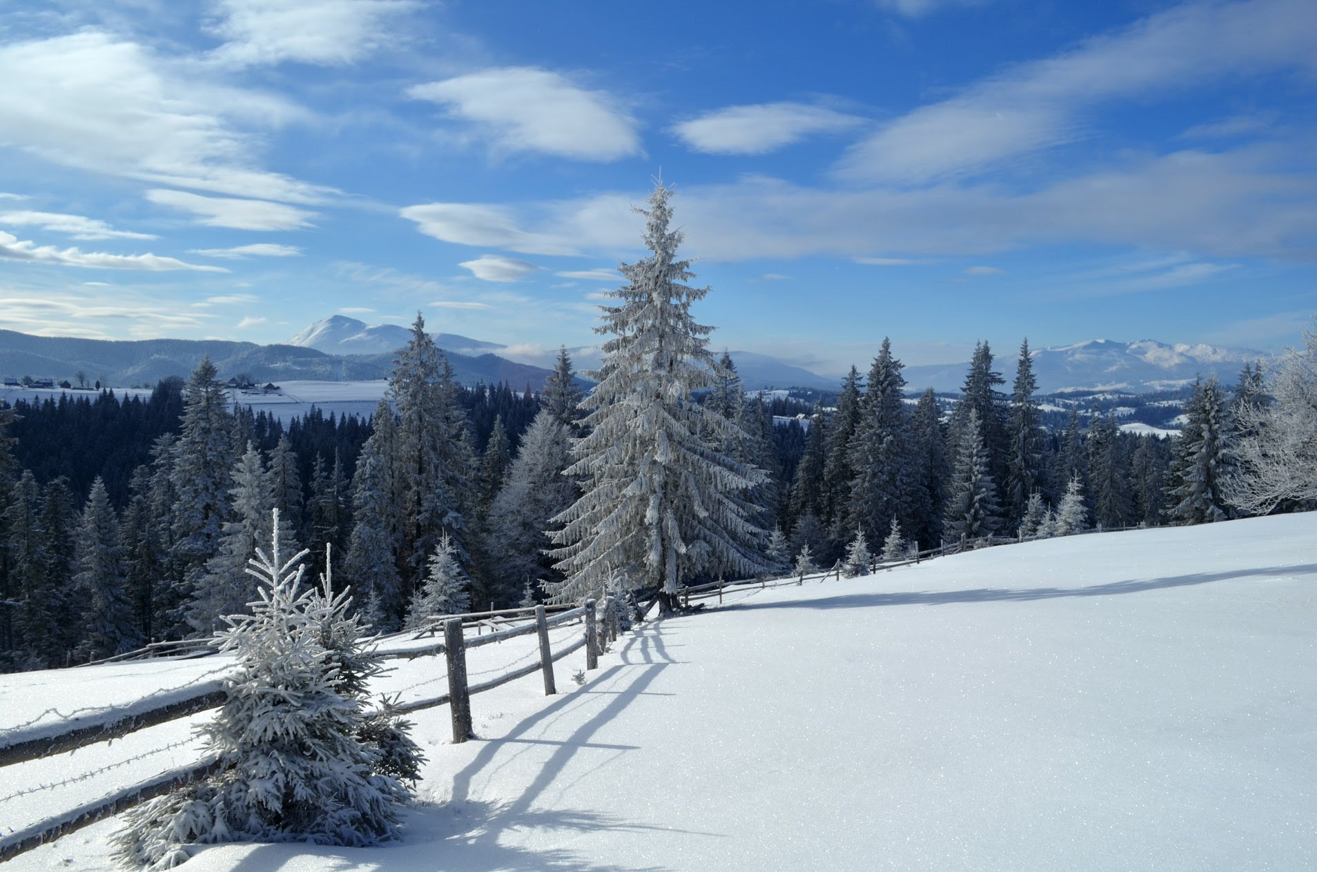
The village of Voronenko is located at an altitude of 850 - 950 m above sea level in the Polyanitska amalgamated community of Nadvirna district, Ivano-Frankivsk region, which is located in southwestern Ukraine. This picturesque village is surrounded by vast mountain ranges, making it an ideal place for lovers of outdoor activities and nature.
The history of Voronenka begins with the construction of the Church of the Nativity of the Virgin Mary in 1600, which was completed in 1605. Later, this church was transferred to Vorokhta, which still exists today.
If you like outdoor activities, the village of Voronenko offers many opportunities for you. Here you can go hiking, cycling and horseback riding, as well as enjoy walks in the mountains and forests.
On the southern outskirts of the village, under the Kukul ridge, the Parajin stream, a tributary of the Prut river, originates. On the southwestern outskirts of the village, the Prutets stream, a tributary of the Prut river, has its source.
The Voronenko railway station is located in the village, the last one in Ivano-Frankivsk region before the railway tunnel to Zakarpattia.
Hiking routes from the village Voronenko
There are many hiking routes from Voronenko village that allow you to enjoy the beauty of nature and conquer the peaks. Here are some popular routes that you can take starting from Voronenko:
-
с. Voronenko village, via Kukul town. Kukul to Kryvopillia village
-
с. Voronenko village, via Mt. Kukul, Hoverla, Pip Ivan Chornohirsky to Iltsi village
-
с. Voronenko village, via Mt. Kukul, Mt. Hoverla, Mt. Pip Ivan Chornohirsky to the village of Zelene
The most popular route to Mount Kukul begins in the village of Voronenko, which is located near Vorokhta. It is considered the easiest because of the smooth elevation and short distance - about 12 kilometers. The first tract on your way is the Prypir tract. This place is well suited for the pass, because there is a place to rest: a table and benches under cover. Moving on, you will come across the Bukovyna meadow, where there are huts, a good place for tents, and a spring where you can replenish your drinking water. However, most tourists know this meadow because of the swing attached to the tall trees. Then the route will lead you to the Hryhorivka meadow. From here you can perfectly see the famous Carpathian two-thousanders - Mount Petros and Hoverla. After that, climbing up, you will come across the Serednya meadow, where there are also a couple of Hutsul huts. And further along the route, after a small rise, you will reach the Kukul ridge. The highest point of the ridge is Mount Kukul.
How to get there?
Voronenko village can be reached by train from Lviv to Rakhiv or by bus from Ivano-Frankivsk to Verkhovyna.
Getting there by car is faster and more convenient. Get to Ivano-Frankivsk and then take the H-09 road to the village of Vorokhta. There, follow the sign to the village of Voronenko and drive about 5 kilometers further.
What to visit
Landmarks, museums and places of interest near Voronenko.
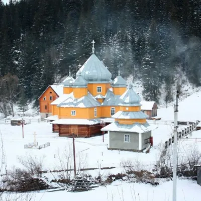 ChurchChurch of St. Basil the Great, YablunytsiaYablunytsia3.8 km from the centreBasil the Great is a functioning church of the Yaremche Deanery of the Kolomyia Eparchy of the Ukrainian Orthodox Church-Kyivan Patriarchate in the village of...
 SightYablunytskyi pass, YablunytsiaYablunytsia4 km from the centreYablunytskyi Pass is a transportation artery that connects Ivano-Frankivsk and Zakarpattia regions. There are observation decks on the pass that offer a beautiful and...
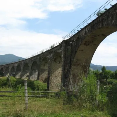 ArchitectureAustrian viaduct bridge, VorokhtaVorokhta4.2 km from the centreThe Austrian Viaduct Bridge in Vorokhta is an engineering marvel that connects the two banks of the Prut River.
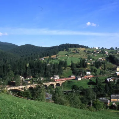 MuseumMuseum of History and Local Lore, VorokhtaVorokhta5.1 km from the centreThe museum was inaugurated on January 21, 2007. The museum reveals the processes of the settlement's emergence, the Oprishka movement in the Vorokhta neighborhood, and...
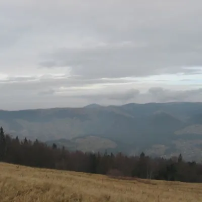 Mountain meadowPolonyna BorsuchynaVorokhtaaltitude 1 136 m7 km from the centrePolonyna Borsuchyna is located in Vorokhta, Ivano-Frankivsk region, at an altitude of 1136 meters in the Carpathians.
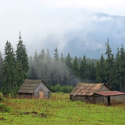 Mountain meadowPolonyna Kukul (Kukul), VoronenkoVoronenkoaltitude 1 440 m7.7 km from the centrePolonyna Kukul is a mountain meadow in the Ukrainian Carpathians, within the Kukul ridge (Kukul mountain - 1539 m), administratively located within the Zakarpattia...
Where to stay
Hotels, guesthouses and cottages in and around Voronenko.
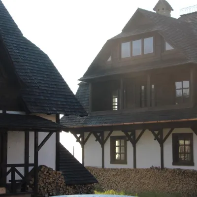 HomesteadHomestead "Blyzhche Neba" MykulychynYablunytsia2.9 km from the centreSaunaBreakfastBBQNearby: Church of St. Basil the Great 3.3 kmMt Khomiak 8.6 km23 trails
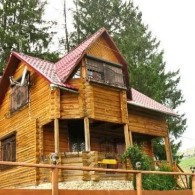 HomesteadHomestead "Sokolynye Hnizdo" MykulychynYablunytsia3.2 km from the centrePoolSaunaBBQNearby: Church of St. Basil the Great 1.9 kmMt Khomiak 7.2 km10 trails
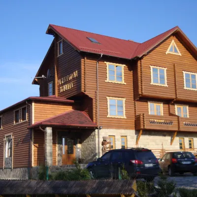 HotelHotel "Panorama Carpathians" MykulychynYablunytsia3.5 km from the centrePoolSaunaBBQNearby: Church of St. Basil the Great 400 mMt Khomiak 6.0 km22 trails
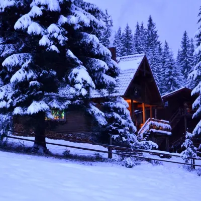 HotelHotel "Jazz Xata" in MykulychynYablunytsia3.6 km from the centreSaunaFireplaceTransferNearby: Church of St. Basil the Great 2.3 kmMt Khomiak 7.3 km10 trails
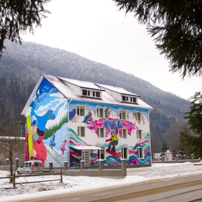 HotelHostel "Free Way" MykulychynYablunytsia3.9 km from the centreSaunaBBQParkingNearby: Church of St. Basil the Great 200 mMt Khomiak 5.7 km23 trails
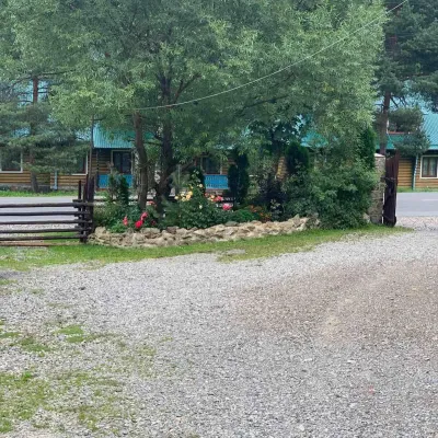 HotelGuest house "Diana" MykulychynYablunytsia3.9 km from the centrePoolBBQKitchenNearby: Church of St. Basil the Great 200 mMt Khomiak 5.7 km23 trails
Trails nearby
All trails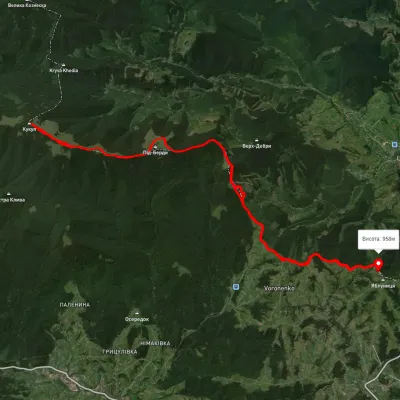 HardMulti-dayUnmarkedVoronenko village loopvia Mount KukulElevation profile920–1 574 m29.5 kmascent 1 248 m≈ 10 h walkingunder 1 km from the centre
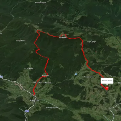 HardMulti-dayUnmarkedVorokhta to Yablunytsia villagevia Mount KukulElevation profile694–1 433 m24.6 kmascent 1 045 m≈ 8 h walkingunder 1 km from the centre
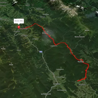 HardMulti-dayUnmarkedVoronenko village to Staishche villagevia Mount KukulElevation profile694–1 572 m31.1 kmascent 1 883 m≈ 11.5 h walkingunder 1 km from the centre
Peaks nearby
All peaks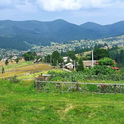 PeakMount OseredokVorokhtaaltitude 915 m · Chornohora range3.8 km from the centreOseredok is a modest 915 m summit right above Vorokhta (about 2 km), north of the Chornohora range, in Ivano-Frankivsk Oblast.
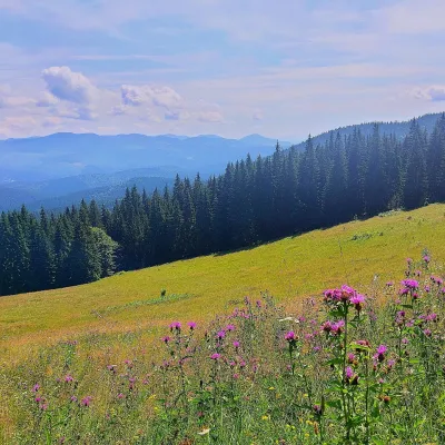 PeakMount Kychera (Vorokhta)Vorokhtaaltitude 1 225 m · Chornohora range5.7 km from the centreKychera is a 1,225 m summit north of the Chornohora range, in Ivano-Frankivsk Oblast. It lies between Vorokhta (about 4.5 km) and Mount Kukul (1,539 m), about 3.2 km...
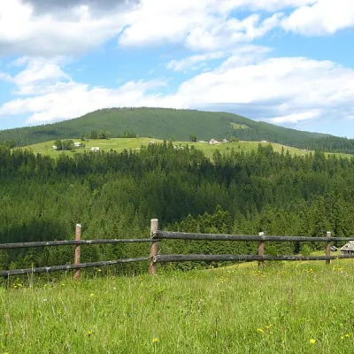 PeakMount Magura, TatarivTatarivaltitude 1 288 m · Gorgany range5.9 km from the centreMagura is a mountain in the Ukrainian Carpathians, in the Gorgany massif. It is located within the Yaremche City Council of Ivano-Frankivsk Oblast, between the...