Mount Kukul
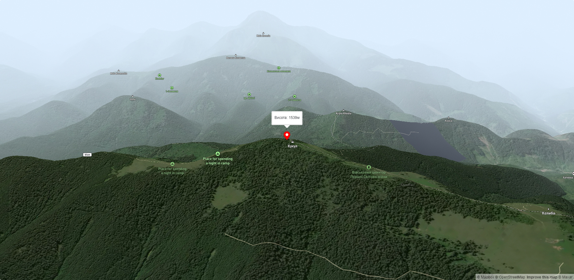
Kukul (another name - Kukul) is a 1539-meter peak in the Ukrainian Carpathians, which is located in the northern direction of the Chornohora mountain range. The mountain is located in Nadvirna district of Ivano-Frankivsk region and Rakhiv district of Zakarpattia region.
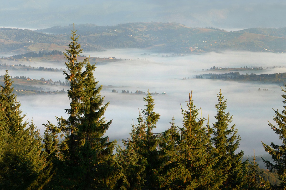
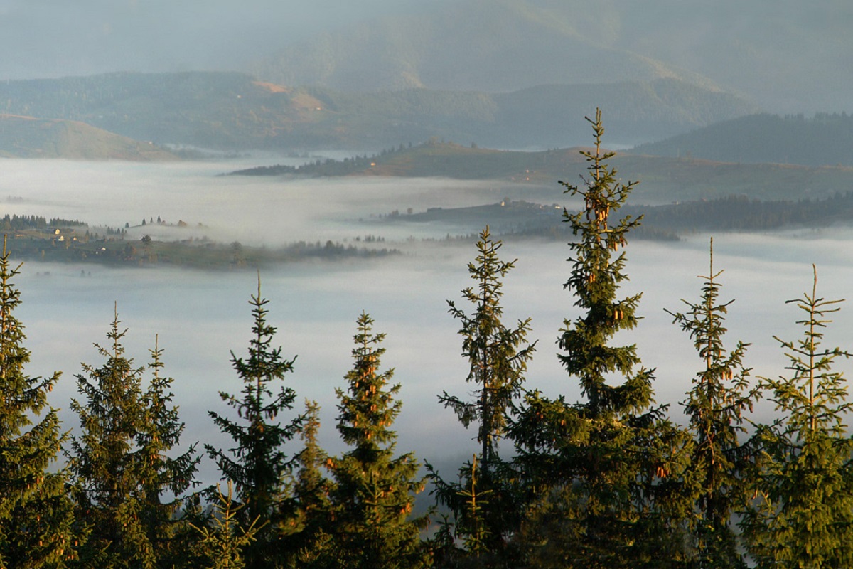
The northeastern and western slopes of Mount Kukul are very steep and difficult to access. The top of the mountain is forested, but in some places there are small gaps through which you can see the surrounding landscapes.
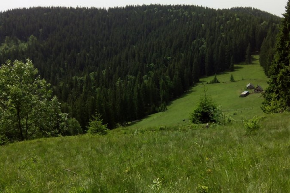
Not far from the top are the Kukul, Labeska, and Zakukul meadows .
On Mount Kukul there is an old cemetery from the First World War, where German soldiers are buried. Also near the top are old concrete structures and the remains of a Hungarian battery from the same historical period.
To the north of Mount Kukul are the town of Vorokhta and the village of Voronenko in the Yaremche district of Ivano-Frankivsk region, and to the northwest are the town of Yasinia and the village of Lazeshchyna in the Rakhiv district of Zakarpattia region.
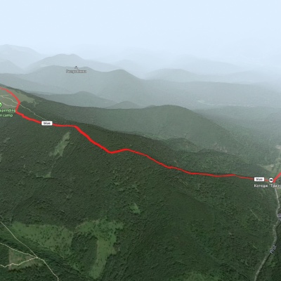
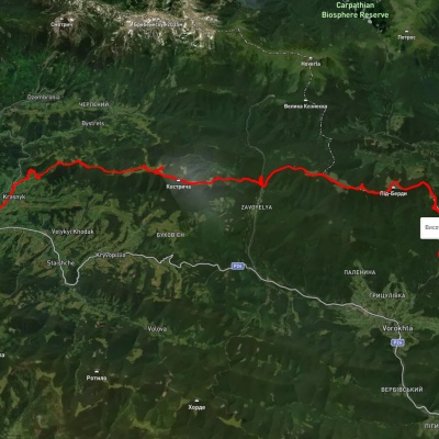
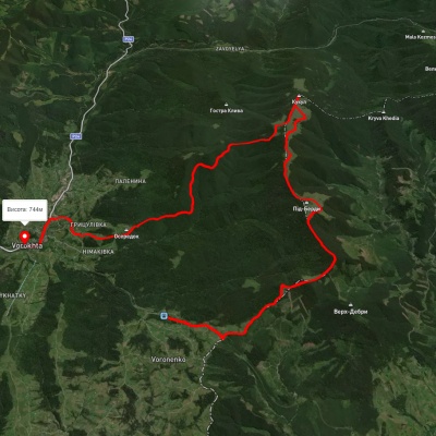
There are 3 most popular hiking routes to the top of Mount Kukul - from Vorokhta, 12 km long and with an altitude difference of 800 m, from Voronenko village, 13 km long and with an altitude difference of 720 m, and from the checkpoint "Chornohora", 7 km long and with an altitude difference of 580 m.
Accommodation around Mount Kukul:


Nearby hiking trails near Mount Kukul:
Які маршрути проходять повз Mount Kukul?
Пропонуємо пройти такі туристичні (пішохідні) маршрути через/біля Mount Kukul: КПП на Говерлу (Завоєля) - г. Кукул, с. Ільці, через г. Кукул до с. Вороненко, с. Вороненко, через г. Кукул до смт. Ворохта, с. Вороненко, через г. Кукул до с. Кривопілля, с. Вороненко, через г. Кукул до смт. Ворохта, с. Вороненко, через г. Кукул, г. Говерла, г. Піп Іван Чорногірський до с. Ільці