Mount Kychera (Vorokhta)
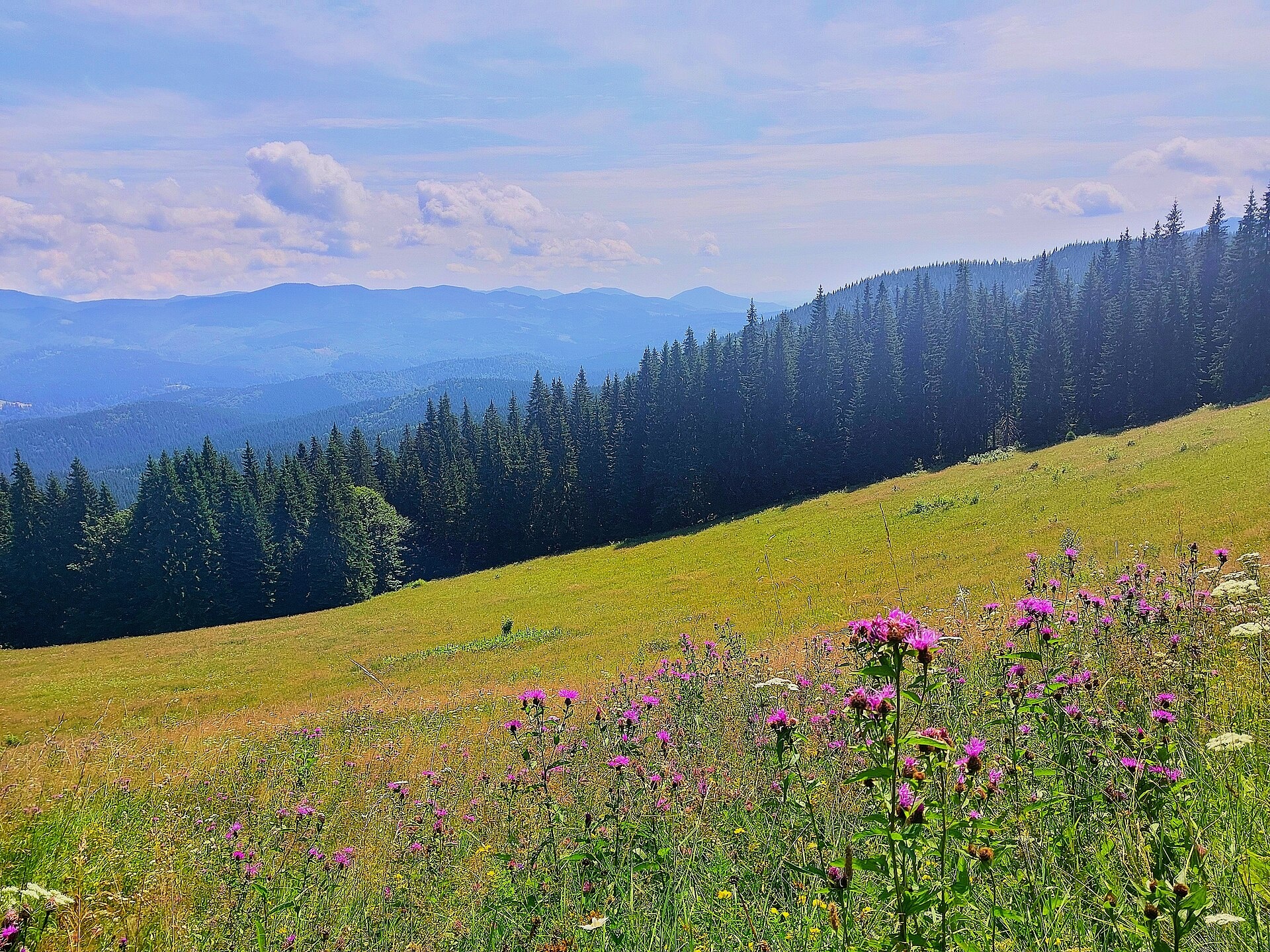
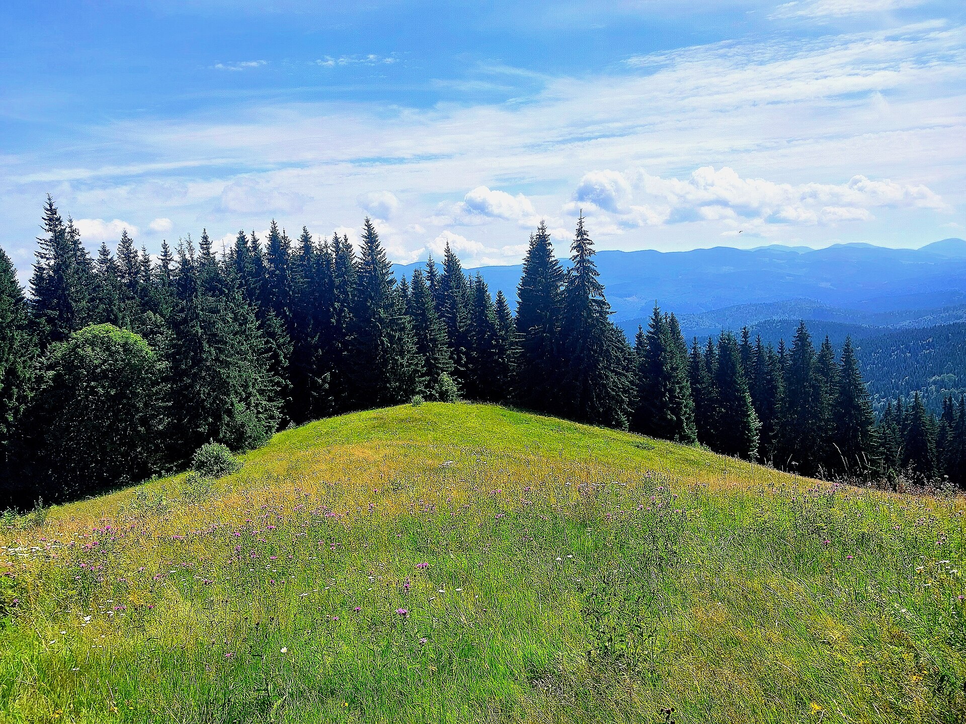
Kychera is a 1,225 m summit north of the Chornohora range, in Ivano-Frankivsk Oblast. It lies between Vorokhta (about 4.5 km) and Mount Kukul (1,539 m), about 3.2 km to the south. The villages of Voronenko (5.7 km) and Yablunytsia (8.9 km) are also nearby.
Kychera stands on the wooded ridge used to climb Kukul from Vorokhta. About 570 m to the north-east lies Nimakivskyi Hrun (1,204 m), 2 km to the south-east Hostra Klyva (1,228 m), 2.9 km to the south-west Foresek (1,336 m) and 3.2 km to the west Pid-Berdy (1,388 m). To the north the ridge descends to Oseredok (915 m) right above Vorokhta.
How to get there
12 of our routes pass within 300 m of Kychera — nearly all those leading from Vorokhta to Kukul and on to Chornohora. Closest to the summit, about 90 m away, are Voronenko – Mount Kukul – Vorokhta (30.3 km) and Mount Kukul – Vorokhta (9.2 km, a descent from Kukul). The classic ascent from Vorokhta is Vorokhta – Pereslip – Mount Kukul (11.7 km, about 1,100 m of ascent). Longer options are Vorokhta – Mount Kukul – Yasinia (36.3 km) and Vorokhta – Kukul – Breskul – Rebra – Pip Ivan (Chornohora) – Dzembronia (59.1 km).
Water, shelter and safety
On our map the nearest spring is about 380 m to the north-west (at about 1,140 m), but its water is marked as not drinkable; another spring is about 890 m to the north. About 1.2–1.3 km to the south-east, on the Borsuchyna pasture, stand several huts with a spring. Below Kukul, 1.6–2.2 km to the south, more springs are marked, while the hut on the Labieska pasture is in ruins. The slopes are wooded, so in fog navigate with a GPS. The nearest summit with our forecast is the weather on Hoverla (about 10 km). In an emergency call 112 or 101 — contacts of the nearest units are on our mountain rescue page.
Interesting facts
- Already between the wars a path from Vorokhta over Kychera led to the shelter below Kukul at 1,173 m, opened in December 1938 and able to host up to 100 people.
- Neighbouring Kukul still has a cemetery of German soldiers, concrete fortifications and the remains of a Hungarian battery from the First World War.
Photos: DanilWikiUser, CC0; DanilWikiUser, CC0 — Wikimedia Commons.
Location on the map
Comments
Places to stay nearby
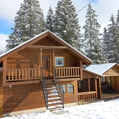 CottageOn the Mountain4.8 km from Mount Kychera (Vorokhta)BBQKitchenWi‑FiNearby: Austrian viaduct bridge 2.5 kmPolonyna Borsuchyna 5.3 km8 trails
 HotelHotel-Restaurant "Bukov'yan"9.3 km from Mount Kychera (Vorokhta)Hotel-Restaurant "Bukov'yan" offers a cozy getaway in the Carpathians, far from the hustle and bustle of the city.Nearby: Kryvopillia Pass 800 mPolonyna Dil 2.4 km6 trails
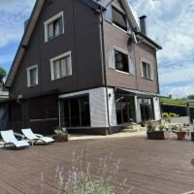 HomesteadUnderDil10 km from Mount Kychera (Vorokhta)The accommodation UnderDil is located in the village of Kryvopillia, just 42 km from the landmark "Vodospad Probiy".Nearby: Polonyna Dil 1.2 kmKryvopillia Pass 900 m6 trails
 CottageArtMi11 km from Mount Kychera (Vorokhta)FireplaceKitchenParkingNearby: Church of the Transfiguration 2.8 kmStrukivska Church 5.7 km32 trails
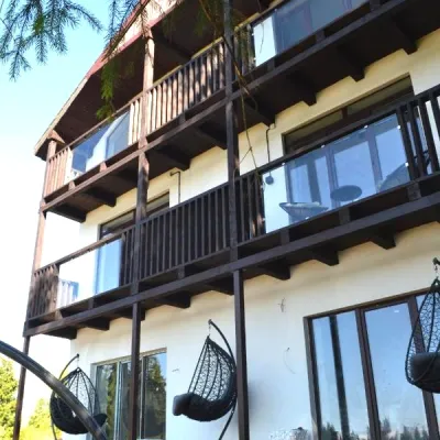 CottageApartments "Mayak". Cottage in the Carpathians with a view of the mountains11 km from Mount Kychera (Vorokhta)Hot tubBBQKitchenNearby: Mt Khomiak 6.2 kmPolonyna Khomyakov 6.9 km9 trails
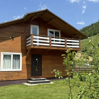 CottageDida's Estate12 km from Mount Kychera (Vorokhta)A modern cottage in the Carpathians for your vacation Located 890 m above sea level in the colorful Hutsul village of VolovaNearby: Polonyna Dil 2.5 kmMt Rotilo 3.1 km5 trails
Trails nearby
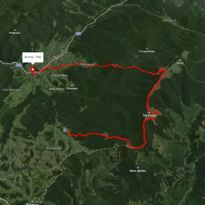 HardMulti-dayUnmarkedVoronenko village to Vorokhtavia Mount KukulElevation profile743–1 458 m30.3 kmascent 1 329 m≈ 10 h walkingunder 1 km from Mount Kychera (Vorokhta)
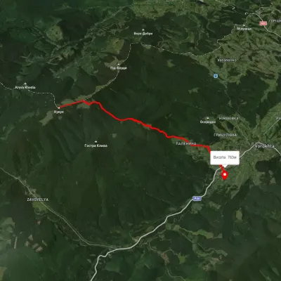 EasyOne-dayUnmarkedMount Kukul VorokhtaElevation profile763–1 528 m9.2 kmascent 98 m≈ 2.5 h walkingunder 1 km from Mount Kychera (Vorokhta)
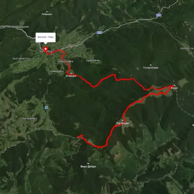 HardMulti-dayUnmarkedVoronenko village to Vorokhtavia Mount KukulElevation profile777–1 587 m25.2 kmascent 940 m≈ 8 h walkingunder 1 km from Mount Kychera (Vorokhta)
Nearby attractions
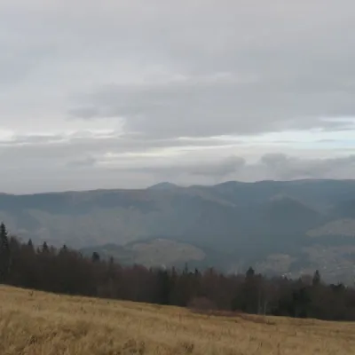 Mountain meadowPolonyna Borsuchynaaltitude 1 136 m1.2 km from Mount Kychera (Vorokhta)Polonyna Borsuchyna is located in Vorokhta, Ivano-Frankivsk region, at an altitude of 1136 meters in the Carpathians.
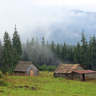 Mountain meadowPolonyna Kukul (Kukul), Voronenkoaltitude 1 440 m2.9 km from Mount Kychera (Vorokhta)Polonyna Kukul is a mountain meadow in the Ukrainian Carpathians, within the Kukul ridge (Kukul mountain - 1539 m), administratively located within the Zakarpattia...
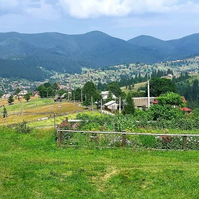 PeakMount Oseredokaltitude 915 m · Chornohora range3.1 km from Mount Kychera (Vorokhta)Oseredok is a modest 915 m summit right above Vorokhta (about 2 km), north of the Chornohora range, in Ivano-Frankivsk Oblast.