Coal tit
About
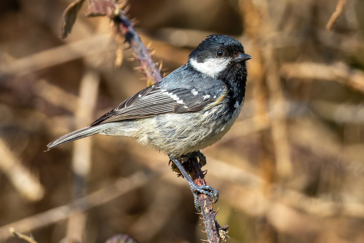
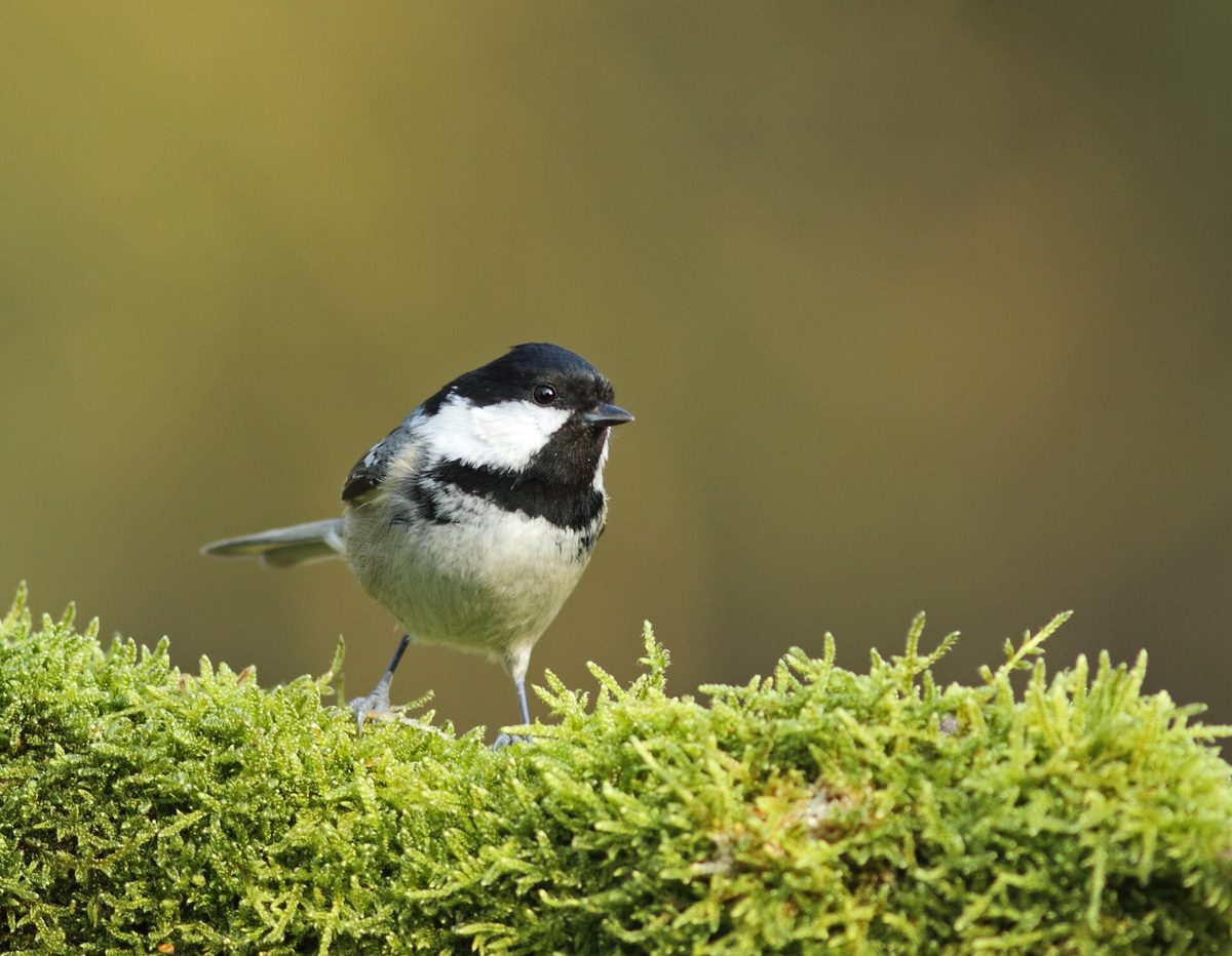
The Coal tit is the smallest of our tits: about 11 cm long and weighing only 8–10 g. It is a typical bird of moist coniferous forests, so in the Carpathians, it is easiest to encounter among spruces and firs. In the Polish mountains, it nests up to an altitude of 1500 m, while in Ukraine, it inhabits forest and partially forest-steppe zones. The Coal tit is both resident and migratory, remaining in the mountains during winter.
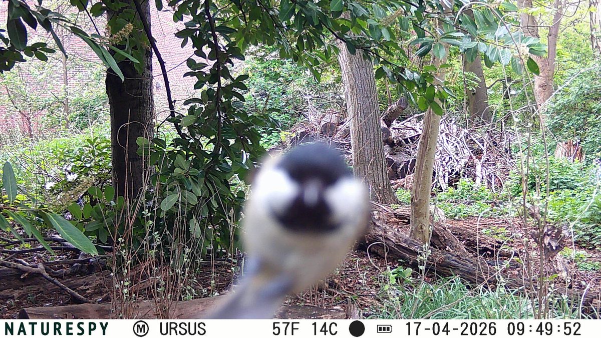
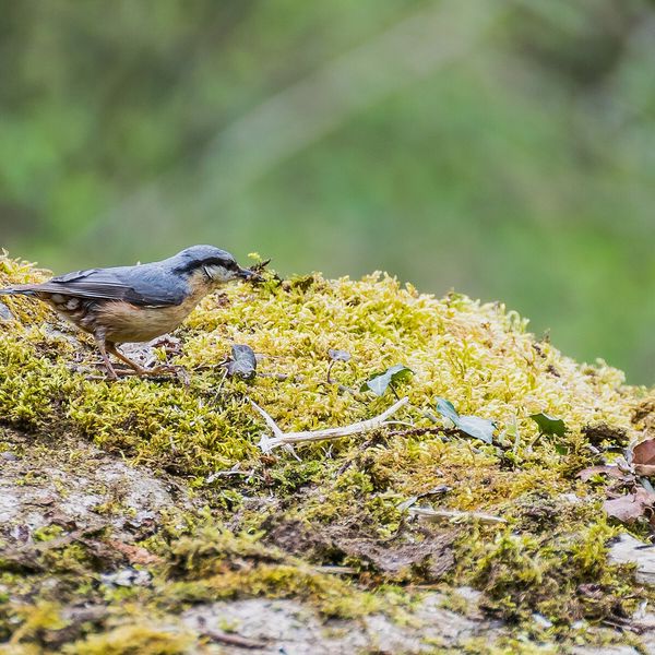
The head and throat are black with a sheen, the cheeks are white, and there is a white spot on the nape, which distinguishes this tit from all others. The back is olive-gray, with two white transverse stripes on the wings, and the underside is whitish with an ochre tint. There is no yellow coloration, as seen in the Great tit.
While foraging, flocks of Coal tits continuously call out with short, thin 'si-si' sounds. Their song is a piercing, rapid 'tsi-vi, tsi-vi, tsi-vi', similar to the song of the Great tit but higher and faster. It is most often heard from January to June, as well as in autumn. In winter, Coal tits travel in mixed flocks with other tits, creepers, and woodpeckers.
They build nests in tree cavities, mainly in coniferous trees: in natural hollows of decayed trunks and stumps, sometimes in old woodpecker holes. Usually, in May, the female lays 7–11 white eggs with red speckles. The Coal tit is not listed in the Red Data Book of Ukraine.
Where in the Carpathians

The map shows where naturalists recorded the species (GBIF, CC0 and CC BY records), not every place it lives. The Ukrainian Carpathians are less studied, so a blank area does not mean the species is absent.
- Countries
- Slovakia · Poland · Romania · Czechia · Ukraine · Hungary · Serbia · Austria · BG
- Mountain ranges
- Volovec Mountains, Moravian-Silesian Beskids, High Tatras, Western Tatras, Börzsöny and Cserhát, Skole Beskids, Silesian Beskids, Bucegi Mountains, Żywiec Beskids, Low Tatras
- Altitude belts
- Foothills (below 600 m) · Beech forests (600–1200 m)
When to see it
| Jan | Feb | Mar | Apr | May | Jun | Jul | Aug | Sep | Oct | Nov | Dec | |
|---|---|---|---|---|---|---|---|---|---|---|---|---|
| Sightings |
From naturalists’ observations in the Carpathians (iNaturalist, research grade): the darker the cell, the more often the species is seen that month.
Protection and rules
Not listed in the Red Data Book of Ukraine.
FAQ
How to distinguish the Coal tit from the Great tit?
The Coal tit is significantly smaller, lacks yellow coloration, and has a white spot on the black nape. The Great tit has a yellow belly and a black stripe on its chest.
Which tits live in the spruce forests of the Carpathians?
The most characteristic is the Coal tit, the smallest of our tits, which inhabits coniferous forests.
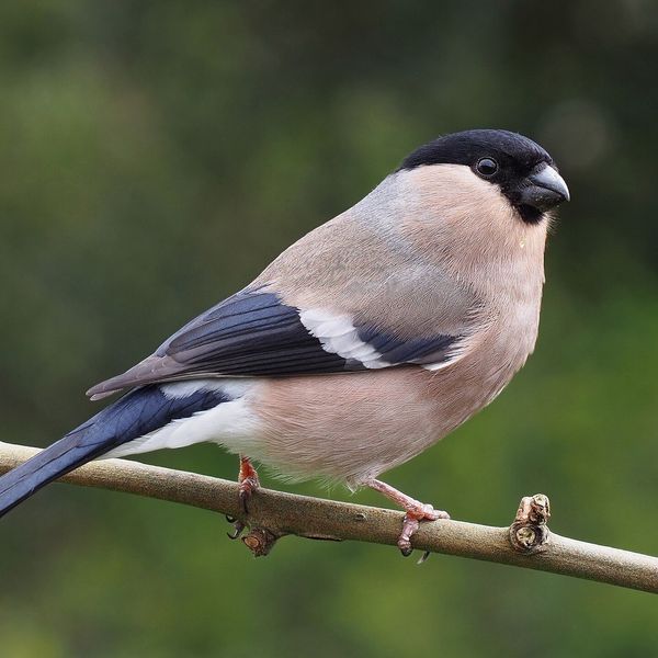
Similar species
Where to meet it
Trails
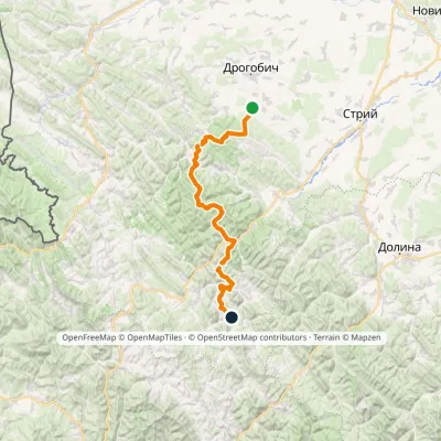 HardMulti-dayMarkedNo. 504 Truskavets SlavskoElevation profile349–1 168 m88.5 kmascent 4 090 m
 ModerateTwo-dayHrebeniv village to Skolevia Mount Kudriavets, Mount LopataElevation profile437–1 242 m18 kmascent 780 m≈ 6 h walking
 HardMulti-dayTukhlia village to Skolevia Mount Kindrat, Mount Matahiv +2Elevation profile445–1 265 m29.6 kmascent 1 569 m≈ 10.5 h walking
 ModerateTwo-dayHrebeniv village to Skolevia Kudriavets village, Lopata villageElevation profile437–1 242 m16.9 kmascent 779 m≈ 6 h walking
 HardMulti-dayDubyna village to Tukhlia villagevia Kamianka Waterfall, Mount Lopata +1Elevation profile418–1 233 m38.8 kmascent 1 600 m≈ 13 h walking
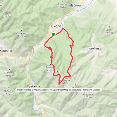 HardTwo-daySkole loopvia Mount Kudriavets, Mount LopataElevation profile437–1 242 m21.2 kmascent 986 m≈ 7.5 h walking
Peaks and meadows
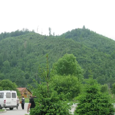 PeakMount ZeleminHrebenivaltitude 1 177 m · Skole Beskids range1 trail to the topZelemin is a 1,177 m summit in the north-western part of the Zelemianka ridge in the Skole Beskids (Lviv Oblast).
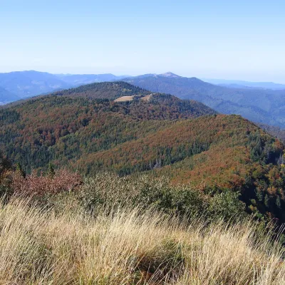 PeakMount KudriavetsHrebenivaltitude 1 242 m · Skole Beskids range1 trail to the topKudriavets is a 1,242 m summit on the Zelemianka ridge in the Skole Beskids, Lviv Oblast.
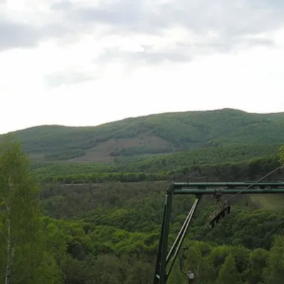 PeakMount BuzhoraOsiialtitude 1 085 m · Volcanic Carpathians range1 trail to the topMount Buzhora is the highest peak of the Volcanic Ridge of Ukrainian Carpathians.
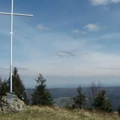 PeakMount LopataKorostivaltitude 1 211 m14 trails to the topThe mountain is located on the Zelemyanka ridge at a distance of 8 km south of the town of Skole.
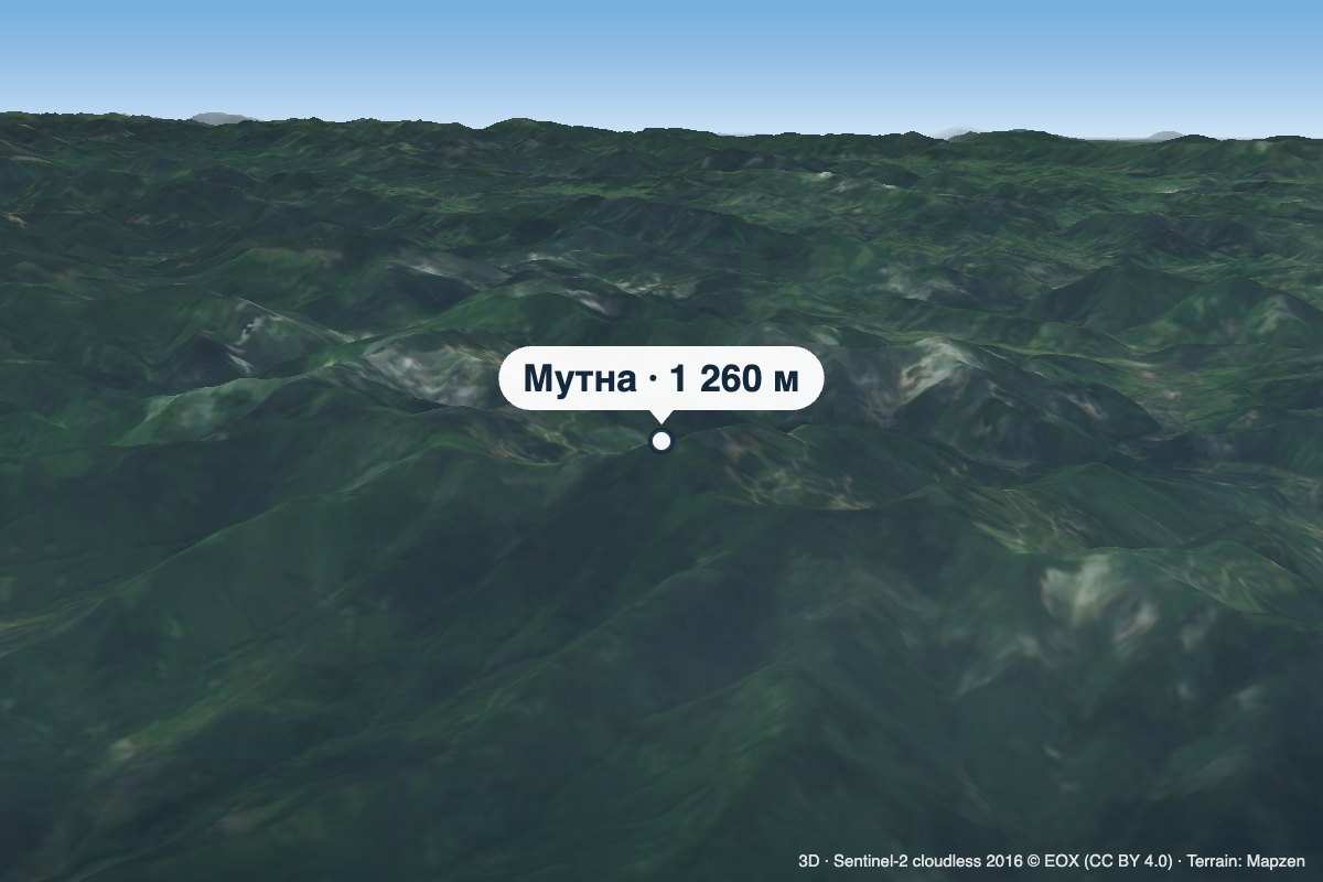 PeakMount MutnaKamiankaaltitude 1 260 m · Skole Beskids rangeMutna is a 1,260 m summit on the Zelemianka ridge in the Skole Beskids, Lviv Oblast.
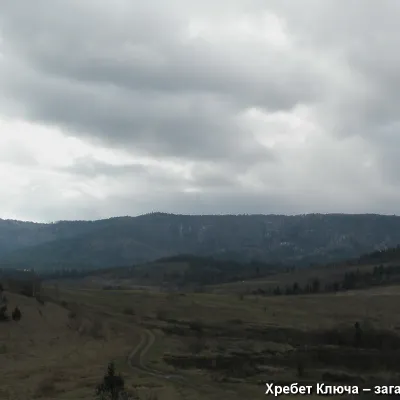 PeakMount YavorinkaTrukhanivaltitude 940 m3 trails to the topThe top of Mount Yavorinka is 940 meters above sea level. Mount Yavorinka is the highest peak of the Klyucha ridge,...
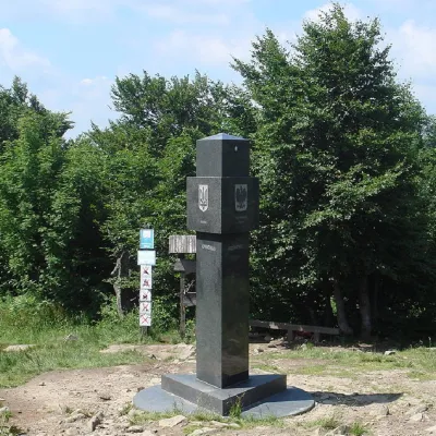 PeakMount KremenetsStuzhytsiaaltitude 1 221 m4 trails to the topKremenets (also known as Kreminets) is a mountain in the Ukrainian Carpathians, one of the highest peaks of the...
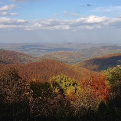 PeakMount Obroslyi VerkhSkolealtitude 1 177 m · Skole Beskids range1 trail to the topObroslyi Verkh is a 1,177 m summit in the south-eastern part of the Parashka ridge in the Skole Beskids (Lviv Oblast).
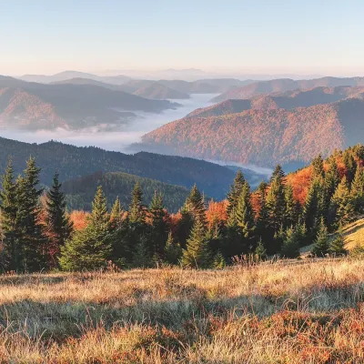 PeakMount ZelenaKorostivaltitude 1 217 m · Skole Beskids range1 trail to the topZelena is a 1,217 m summit on the Parashka ridge in the Skole Beskids, Lviv Oblast.
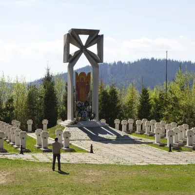 PeakMount MakivkaSlavskealtitude 958 m2 trails to the topMakivka is a mountain in the High Beskid about 8 km north of the town of Slavske in Lviv Oblast.
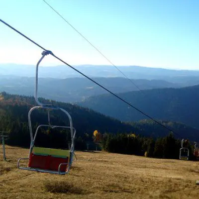 PeakMount Vysokyi Verkh, VolosyankaVolosiankaaltitude 1 242 m · Skole Beskids range2 trails to the topVysokyi Verkh is a mountain in the Ukrainian Carpathians, in the Skole Beskydy massif.
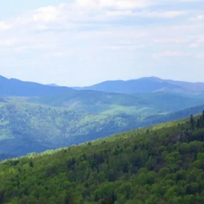 PeakMount KlyuchKamiankaaltitude 927 m · Skole Beskids range2 trails to the topMount Klyuch is one of the peaks of the ridge in the Skole Beskydy, which starts from the Sukel River (Bukivets...
Waters and waterfalls
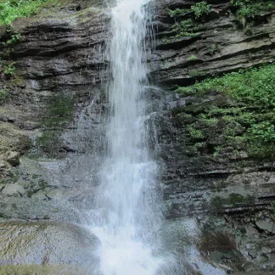 WaterfallLazny waterfallDrohobych districtLaznyi is a waterfall in the Ukrainian Carpathians (in the Skole Beskydy massif), a hydrological natural monument of...
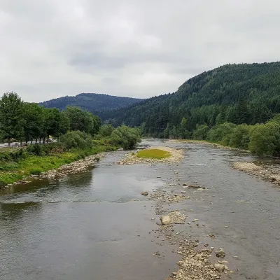 RiverOpir RiverSkoleThe Opir is a 58-km mountain river of the Skole Beskids. It rises on the eastern slope of Mount Velykyi Yavirnyk,...
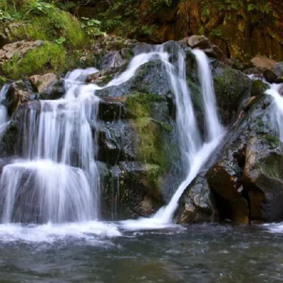 WaterfallKamianka waterfallDubyna"Kamianka Waterfall or Kamianka Waterfall is the most famous waterfall located on the mountain river of the same name...
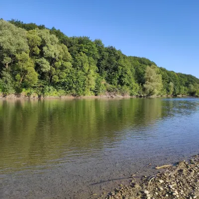 RiverBystrytsia Solotvynska RiverSolotvynThe Bystrytsia Solotvynska rises at about 1,390 m at the foot of Mala Syvulia and Bystryk, near the Peklo cliffs in...
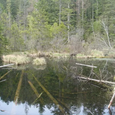 LakeLake Zhuravlyne (Dead Lake)KamiankaThere is one mysterious place in the Skole Beskydy National Nature Park - Zhuravlyne Lake, also called Dead Lake.
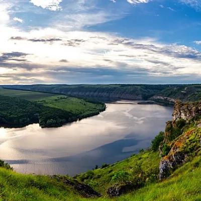 RiverDniesterVovcheThe Dniester is one of the most famous and largest rivers in Ukraine. The Dniester has been used as an important...
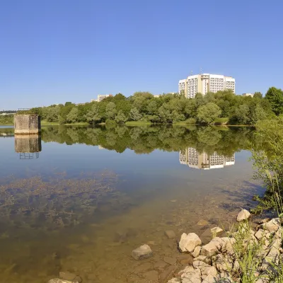 LakeTruskavets ReservoirTruskavetsTruskavets Reservoir, known locally as Lake Solonytsia, lies on the south-eastern edge of Truskavets, next to the...
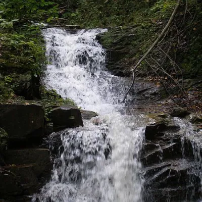 WaterfallChemernarsky Hook waterfallDolishnii ShepitChemernarsky Huk Waterfall is a small but very beautiful waterfall located in the village of Dolishniy Shepit,...
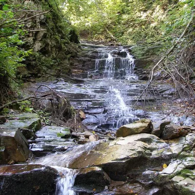 WaterfallChemernarsky waterfall Lower HookDolishnii ShepitThe Chemernarsky Lower Hook Waterfall (also known as Lower Shepit) is located in Dolishnyi Shepit, in the western...
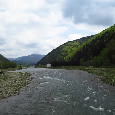 RiverTereblia RiverKolochavaThe Tereblia begins in the Inner Gorgany, where the Roztoka and Sloboda streams meet, and flows through Synevyrska...
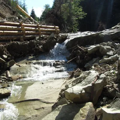 WaterfallSiruchok waterfallTovarnytsiaSiruchok is a waterfall located in the Putyla district of the Chernivtsi region of Ukraine. its height reaches about...
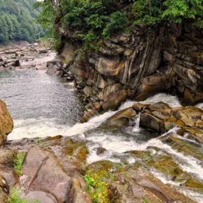 WaterfallProbiy waterfall, YaremcheYaremcheProbiy Waterfall is located in the heart of the Carpathian Mountains, in the city of Yaremche.
Mountain ranges: Skole Beskids, Bieszczady. In other countries: 🇸🇰 Volovec Mountains, 🇨🇿 Moravian-Silesian Beskids, 🇸🇰 High Tatras, 🇸🇰 Western Tatras, 🇭🇺 Börzsöny and Cserhát, 🇵🇱 Silesian Beskids, 🇷🇴 Bucegi Mountains, 🇵🇱 Żywiec Beskids, 🇸🇰 Low Tatras, 🇸🇰 Slovak Ore Mountains, 🇵🇱 Gorce, 🇷🇴 Piatra Craiului
Trails and peaks near which naturalists recorded the species (GBIF, iNaturalist), matched by altitude and habitat. Sightings are not guaranteed.
Sources
- Вікіпедія: Синиця чорна
- Wikipedia (en): Coal tit
- Wikipedia (pl): Sosnówka (ptak)
- Перелік видів тварин, що заносяться до Червоної книги України (наказ Міндовкілля від 19.01.2021 № 29, зареєстровано в Мін'юсті 01.03.2021 за № 260/35882)
- Міндовкілля: текст переліку видів тварин Червоної книги України (PDF)
- GBIF: таксон і категорія МСОП
GBIF · iNaturalist · Wikidata · Distribution data: GBIF.org (CC0 and CC BY records), iNaturalist; names and identifiers: Wikidata (CC0). Text: Karpaty.rocks, checked 09.11.2026.
