Mount Lopata
1 211 m
Unnamed Road, Lviv region, Ukraine


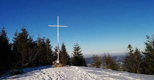
The mountain is located on the Zelemyanka ridge at a distance of 8 km south of the town of Skole. The peak is 1211 meters above sea level. There is a cross on the mountain dedicated to the memory of the UPA fighters. In the summer of 1994, UPA units fought with the German and Hungarian occupiers. The battle lasted for ten days. The route includes two interesting sights of Lviv region: Kamianka Waterfall and Dead Lake with hydrogen sulfide water (no fish there).
The ascent itself is difficult - it is designed for physically healthy people, but it is an interesting active vacation, a hike of medium difficulty, 13 km long. In summer, you can enjoy blueberries and lingonberries and admire the panorama of Skole.
Video 2
 Маршрут на гору Лопата (1210м, Сколівські Бескиди)Live Dream Travel

Location on the map
Water and shelter nearby
- Spring below Mount Lopata (3)220 m · Not verified · 1 159 m
- Spring below Mount Lopata (2)560 m · Not verified · 1 059 m
- Spring below Mount Lopata1.4 km · Not verified · 1 095 m
- Stream water (Hrebeniv)2.8 km · Not verified · 1 121 m
Comments
Places to stay nearby
All stays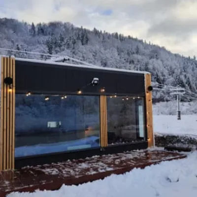 CottageRiver Stone houseSkole5.3 km from Mount LopataHot tubBBQParkingNearby: Tomb of Prince Sviatoslav 3.9 kmMt Lopata 5.3 km5 trailsfrom 4 950 UAH per night
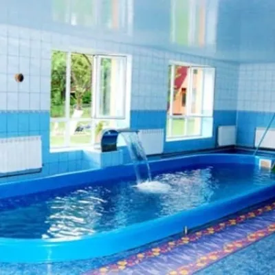 HotelTry BrataSkole5.3 km from Mount LopataPoolSaunaParkingNearby: Tomb of Prince Sviatoslav 4.5 kmMt Lopata 5.3 km6 trailsfrom 1 400 UAH per night
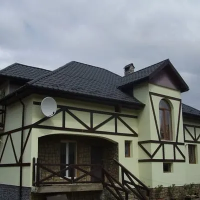 HotelZarinekSkole5.6 km from Mount LopataPoolSaunaBBQNearby: Gredl Palace 1.7 kmKamianka waterfall 3.7 km26 trailsfrom 1 100 UAH per night
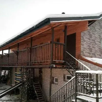 HotelEko-lyuksSkole5.6 km from Mount LopataPoolBBQParkingNearby: Gredl Palace 1.7 kmKamianka waterfall 3.7 km26 trailsfrom 1 210 UAH per night
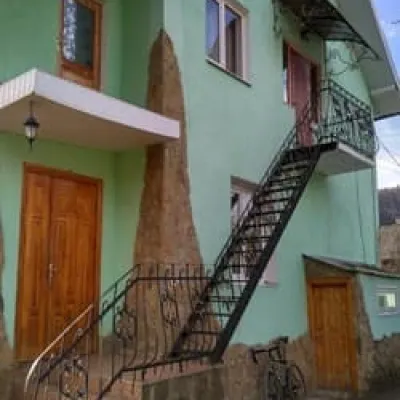 HotelDolche VitaSkole5.8 km from Mount LopataPoolBBQParkingNearby: Gredl Palace 1.9 kmKamianka waterfall 3.7 km26 trailsfrom 1 540 UAH per night
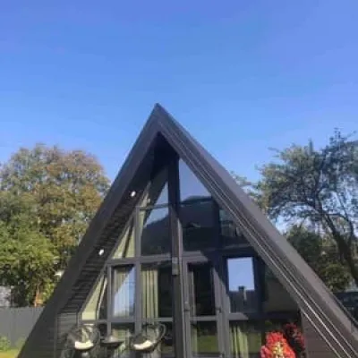 HotelSerce KarpatSkole5.8 km from Mount LopataHot tubPoolBBQNearby: Gredl Palace 1.3 kmKamianka waterfall 4.3 km25 trailsfrom 2 420 UAH per night
Trails via Mount Lopata
All 13 ModerateTwo-dayMarkedSkole loopvia Mount LopataElevation profile437–1 211 m17.3 kmascent 766 m≈ 6 h walking
 ModerateTwo-dayHrebeniv village to Skolevia Kudriavets village, Lopata villageElevation profile437–1 242 m16.9 kmascent 779 m≈ 6 h walking
 HardMulti-dayKamianka village to Krushelnytsia villagevia Mount Lopata, Skole +1Elevation profile396–1 268 m51.1 kmascent 1 877 m
Nearby attractions
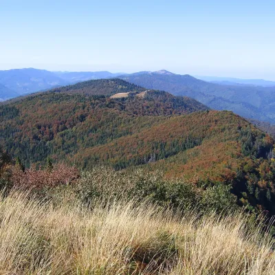 PeakMount KudriavetsHrebenivaltitude 1 242 m · Skole Beskids rangeunder 1 km from Mount LopataKudriavets is a 1,242 m summit on the Zelemianka ridge in the Skole Beskids, Lviv Oblast. About 750 m to the east stands the well-known Lopata (1,211 m), and the...
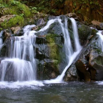 WaterfallKamianka waterfallDubyna5.7 km from Mount Lopata"Kamianka Waterfall or Kamianka Waterfall is the most famous waterfall located on the mountain river of the same name near the village of Dubyna, Skole district, Lviv...
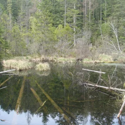 LakeLake Zhuravlyne (Dead Lake)Kamianka6.1 km from Mount LopataThere is one mysterious place in the Skole Beskydy National Nature Park - Zhuravlyne Lake, also called Dead Lake.
Craft nearby
All craft places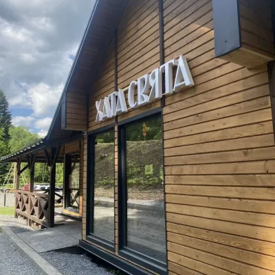 Koliby & Hutsul cuisineKhata Sviata Restaurant, HrebenivHrebeniv5.7 km from Mount LopataKhata Sviata restaurant is a small timber restaurant in the village of Hrebeniv between Skole and Slavske, serving Boyko cooking in a modern way but with respect for...
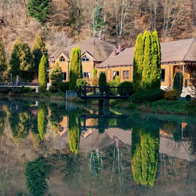 Koliby & Hutsul cuisineZolota Forel restaurant, KorostivKorostiv8.7 km from Mount LopataZolota Forel (“Golden Trout”) is a restaurant and hotel complex in the village of Korostiv near Skole, right beside the Kyiv–Chop highway.
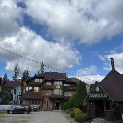 Koliby & Hutsul cuisineKolyba “Smerekova Khata”, SlavskeSlavske15 km from Mount LopataKolyba “Smerekova Khata” is the ethno-restaurant of the hotel complex of the same name at the entrance to Slavske, one of the best-known mountain resorts of the Boyko...
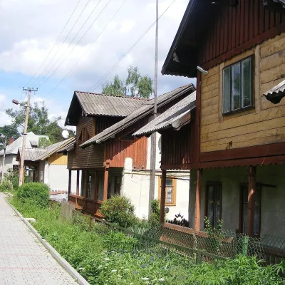 Ethno tours & guidesBarvy Karpat Excursions, SlavskeSlavske16 km from Mount LopataBarvy Karpat («Colours of the Carpathians») is a small local excursion organiser based in Slavske, one of the best-known resorts of the Skole Beskids.
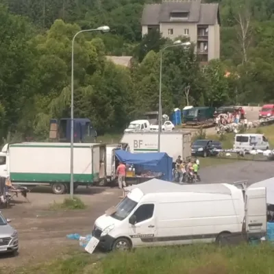 Markets & fairsFriday Market, SlavskeSlavske16 km from Mount LopataThe Friday market in Slavske is a real mountain bazaar of the Boyko region, where sellers and shoppers from the surrounding villages of the Skole Beskids gather every...
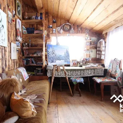 Crafts & workshopsViktoria Art Gallery, SlavskeSlavske16 km from Mount LopataThe Viktoria Art Gallery in Slavske is a small family gallery and studio where art lives not behind glass but in the homely atmosphere of a wooden house.
