Mount Mutna
Mutna is a 1,260 m summit on the Zelemianka ridge in the Skole Beskids, Lviv Oblast. It lies about 1.3 km south-east of Lopata (1,211 m) and is noticeably higher. The nearest villages are Kamianka (about 4.9 km), Hrebeniv (about 5.6 km) and Sukil (about 6.2 km); Skole is about 7.6 km away.
Other summits of the ridge stand close by: Benky (1,233 m) rises about 1.4 km to the east, Nabyvky (1,265 m) about 1.7 km to the south-east, and Kudriavets (1,242 m) about 1.7 km to the north-west. The slopes are covered with spruce and beech forest; between the mountain and Kamianka, south of the village, lies the Dubynske protected forest.
How to get there
Our route Skole – Mount Lopata – Mount Khom – Kamianka – Kamianka Waterfall – Dubyna – Skole (31.4 km, about 1,280 m of ascent) crosses Mutna — a loop that links the summit with the Kamianka waterfall. Two more routes pass about 170 m from the top: Tukhlia – Mount Kindrat – Mount Matahiv – Mount Lopata – Mount Kudriavets – Skole (29.6 km) and Dubyna – Kamianka Waterfall – Mount Lopata – Mount Matahiv – Tukhlia (38.8 km). The shortest approach to neighbouring Lopata, Skole – Mount Lopata – Skole (14.9 km), runs about 1.2 km from Mutna.
Water, shelter and safety
Our map shows the nearest spring below Lopata, about 1.1 km to the north-west at roughly 1,160 m, and two more about 1.8 km in the same direction. On the Sukil side, about 2.4–3 km to the south-east, there are two more springs at around 1,180–1,190 m. The condition of all of them is unknown. The nearest shelters are near Sukil (about 3.5 km) and Hrebeniv (about 3.6 km), and a hut near Tukhlia is about 3.8 km away. So count on your own water supply and plan to be down before dusk. The nearest summit with our forecast is Parashka, about 14 km away: weather on Parashka. In an emergency call 112 or 101 — contacts of the nearest units are on our mountain rescue page.
Comments
Travellers’ experience: reports, tips, questions.
No one has reported on this trail yet. Been here lately? Tell others what it is like now.
Water and shelter nearby
- Spring below Mount Lopata (3)1.1 km · Not verified · 1 159 m
- Spring below Mount Lopata1.8 km · Not verified · 1 095 m
- Spring below Mount Lopata (2)1.8 km · Not verified · 1 059 m
- Spring (Sukil)2.4 km · Not verified · 1 183 m
- Spring (Sukil, 2)3 km · Not verified · 1 190 m
Wildlife nearby
All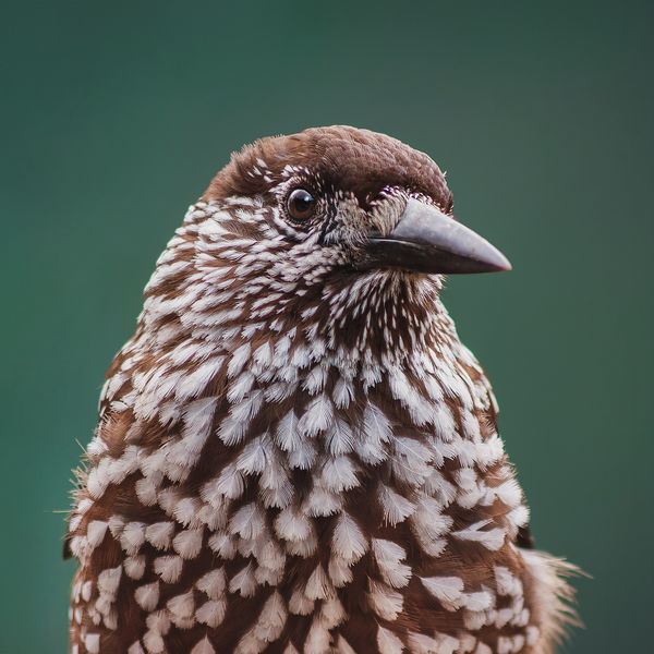
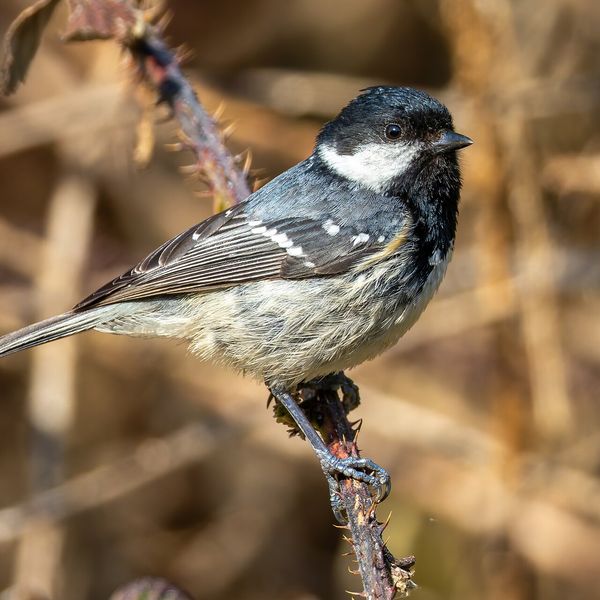
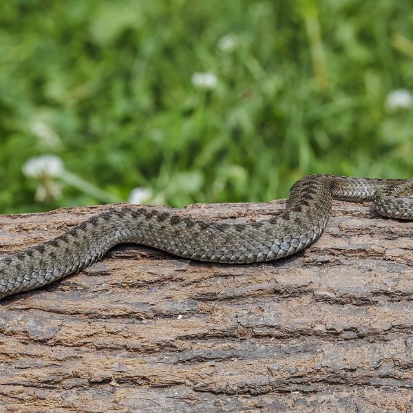
Based on naturalists’ records nearby (GBIF, iNaturalist), matched by altitude, habitat and season. Sightings are not guaranteed.
Places to stay nearby
All stays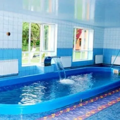 HotelTry BrataSkole5.2 km from Mount MutnaPoolSaunaParkingNearby: Tomb of Prince Sviatoslav 4.5 kmMt Lopata 5.3 km8 trailsfrom 1 400 UAH per night
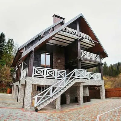
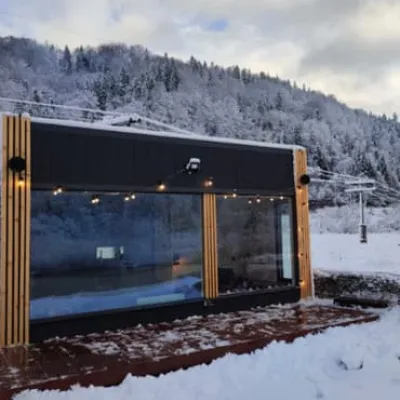 CottageRiver Stone houseSkole5.3 km from Mount MutnaHot tubBBQParkingNearby: Tomb of Prince Sviatoslav 3.9 kmMt Lopata 5.3 km7 trailsfrom 4 950 UAH per night
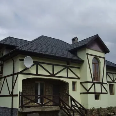
 HotelVilla TukhlyaSkole6.4 km from Mount MutnaPoolSaunaBBQNearby: Tomb of Prince Sviatoslav 6.1 kmMt Lopata 6.7 km9 trailsfrom 17 500 UAH per night
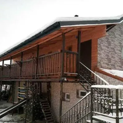
 HotelZarinekSkole6.8 km from Mount MutnaPoolSaunaBBQNearby: Gredl Palace 1.7 kmKamianka waterfall 3.7 km30 trailsfrom 1 100 UAH per night
 HotelEko-lyuksSkole6.8 km from Mount MutnaPoolBBQParkingNearby: Gredl Palace 1.7 kmKamianka waterfall 3.7 km30 trailsfrom 1 210 UAH per night
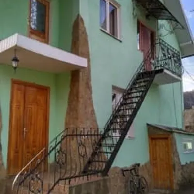 HotelDolche VitaSkole7 km from Mount MutnaPoolBBQParkingNearby: Gredl Palace 1.9 kmKamianka waterfall 3.7 km30 trailsfrom 1 540 UAH per night
Trails nearby
All trails Hard1–2 daysSkole loopvia Mount Lopata, Mount Khom +3Elevation profile418–1 260 m31.4 kmascent 1 006 m≈ 9.5 h walkingunder 1 km from Mount Mutna
 Hard1–2 daysTukhlia village to Skolevia Mount Kindrat, Mount Matahiv +2Elevation profile445–1 265 m29.6 kmascent 1 569 m≈ 10 h walkingunder 1 km from Mount Mutna
 Hard1–2 daysDubyna village to Tukhlia villagevia Kamianka Waterfall, Mount Lopata +1Elevation profile418–1 233 m38.8 kmascent 1 600 m≈ 12.5 h walkingunder 1 km from Mount Mutna
Nearby attractions
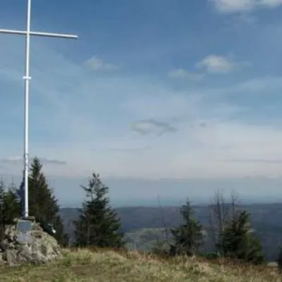 PeakMount LopataKorostivaltitude 1 211 m1.3 km from Mount Mutna14 trails to the topThe mountain is located on the Zelemyanka ridge at a distance of 8 km south of the town of Skole. The peak is 1211 meters above sea level.
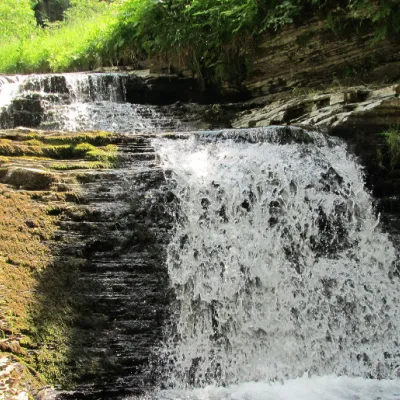 WaterfallSukil WaterfallsSkole Beskids6.2 km from Mount Mutnaheight 8 m597 m above sea levelNear the village of Sukil in the Bohorodchany urban hromada, the Sukil Waterfalls are truly a paradise for tourists and guests.
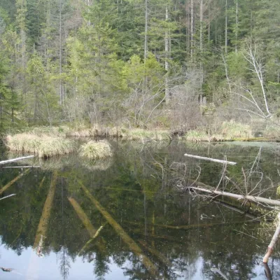 LakeLake Zhuravlyne (Dead Lake)Kamianka · Skole Beskids6.9 km from Mount Mutna599 m above sea levelThere is one mysterious place in the Skole Beskydy National Nature Park - Zhuravlyne Lake, also called Dead Lake.
Craft nearby
All craft places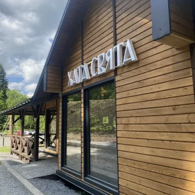 Koliby & Hutsul cuisineKhata Sviata Restaurant, HrebenivHrebeniv6.5 km from Mount MutnaKhata Sviata restaurant is a small timber restaurant in the village of Hrebeniv between Skole and Slavske, serving Boyko cooking in a modern way but with respect for...
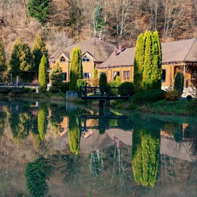 Koliby & Hutsul cuisineZolota Forel restaurant, KorostivKorostiv9.7 km from Mount MutnaZolota Forel (“Golden Trout”) is a restaurant and hotel complex in the village of Korostiv near Skole, right beside the Kyiv–Chop highway.
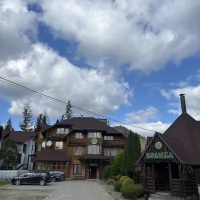 Koliby & Hutsul cuisineKoliba “Smerekova Khata”, SlavskeSlavske14 km from Mount MutnaKolyba “Smerekova Khata” is the ethno-restaurant of the hotel complex of the same name at the entrance to Slavske, one of the best-known mountain resorts of the Boyko...
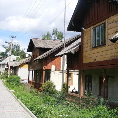 Ethno tours & guidesBarvy Karpat Excursions, SlavskeSlavske15 km from Mount MutnaBarvy Karpat («Colours of the Carpathians») is a small local excursion organiser based in Slavske, one of the best-known resorts of the Skole Beskids.
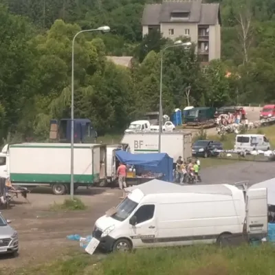 Markets & fairsFriday Market, SlavskeSlavske16 km from Mount MutnaThe Friday market in Slavske is a real mountain bazaar of the Boyko region, where sellers and shoppers from the surrounding villages of the Skole Beskids gather every...
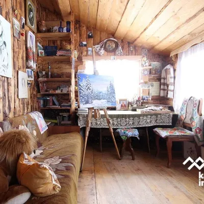 Crafts & workshopsViktoria Art Gallery, SlavskeSlavske16 km from Mount MutnaThe Viktoria Art Gallery in Slavske is a small family gallery and studio where art lives not behind glass but in the homely atmosphere of a wooden house.
