Tereblia River
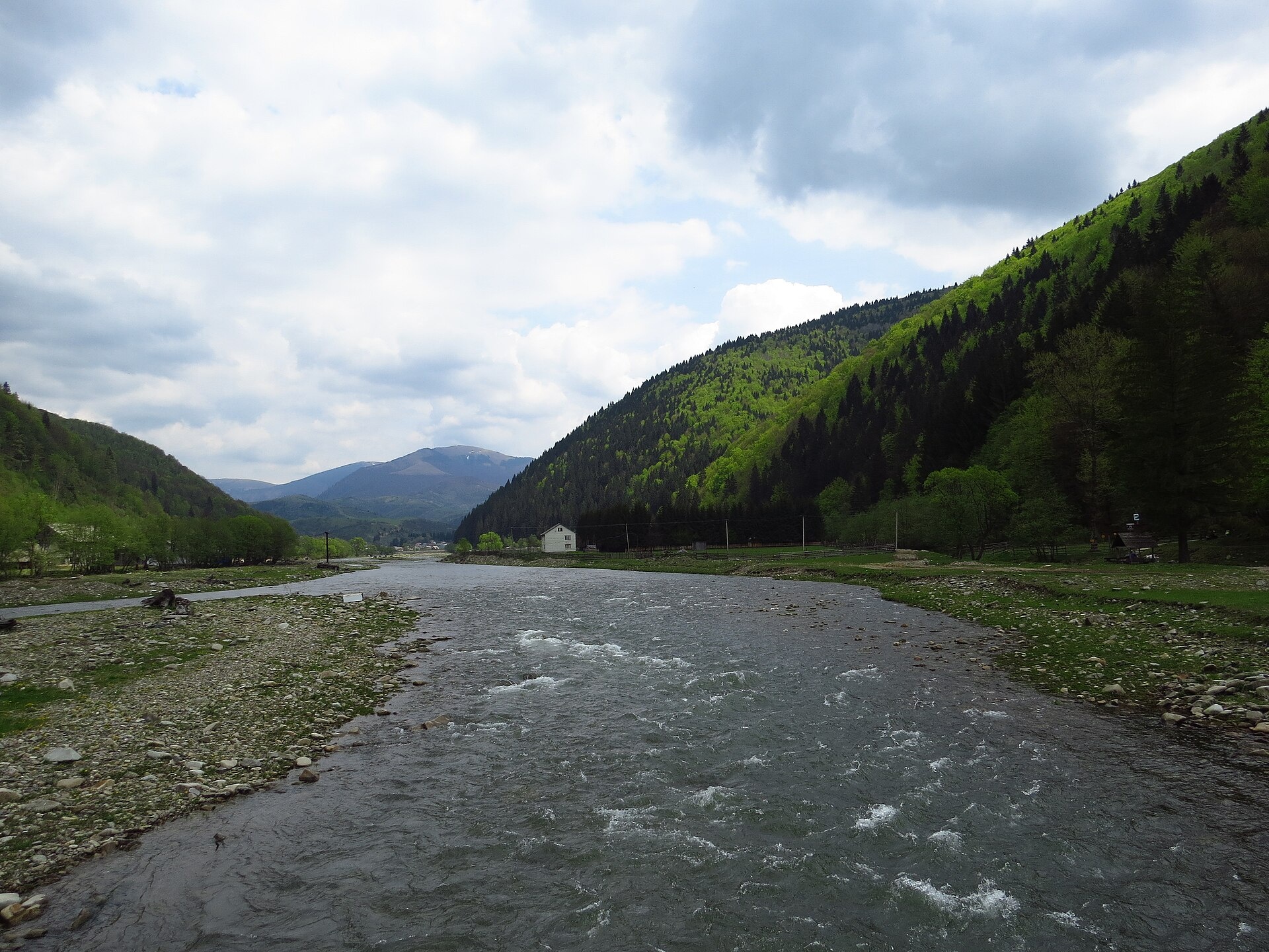
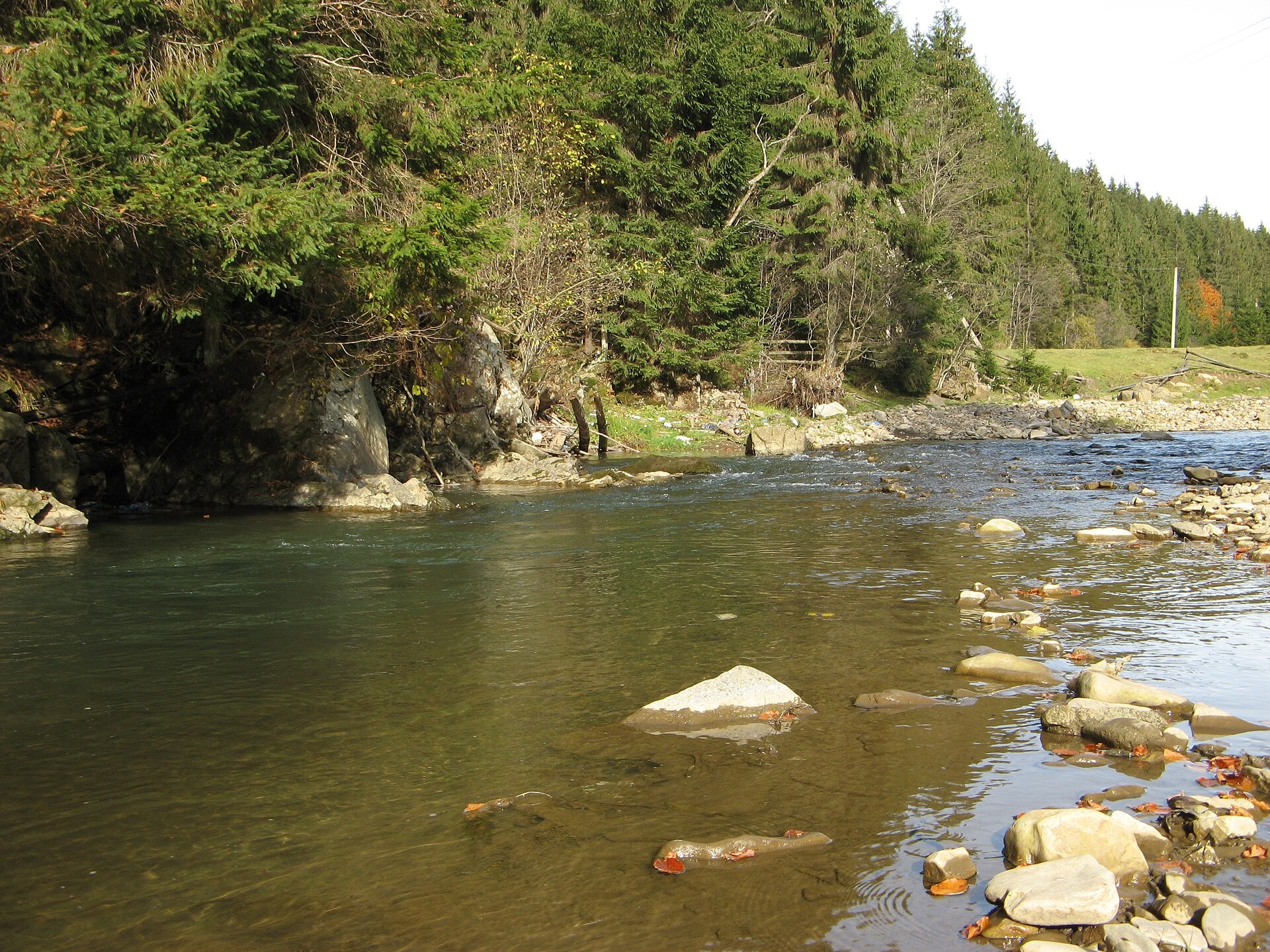
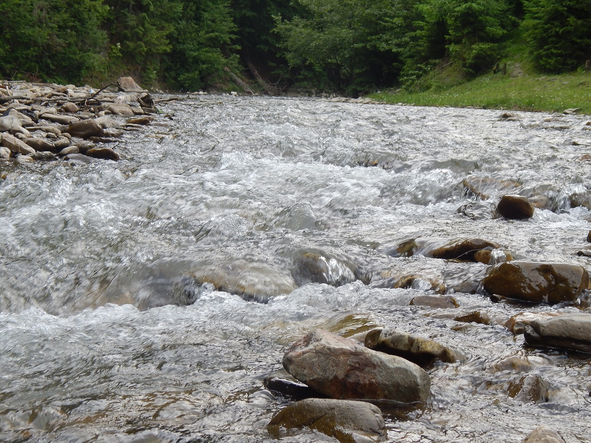
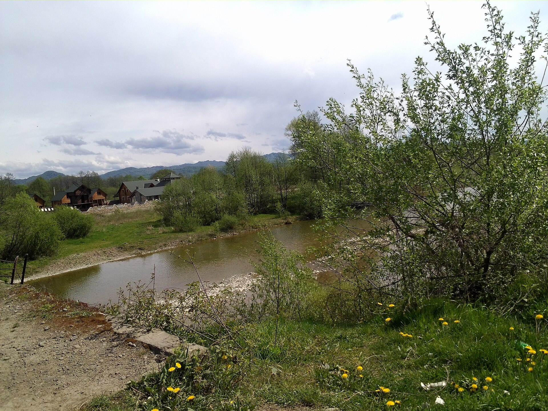
The Tereblia begins in the Inner Gorgany, where the Roztoka and Sloboda streams meet, and flows through Synevyrska Poliana, Synevyr, Nehrovets, Kolochava, Mereshor, Vilshany and Drahovo to Bushtyno, where it joins the Tysa. The upper basin lies in the Synevyr National Park, and water from Lake Synevyr drains into it. Below Kolochava the river is dammed to form the Vilshany Reservoir, from which part of the water runs through a tunnel into the Rika valley.
- Length: 91 km
- Basin area: 750 km²
- Source: Inner Gorgany, confluence of the Roztoka and Sloboda streams
- Mouth: the Tysa near Bushtyno
Worth seeing above the valley are Lake Synevyr, the brown bear rehabilitation centre and the timber-rafting museum on the Ozerianka, with its 19th-century splash dam. Kolochava has the open-air museum “Old Village”, a narrow-gauge railway and about a dozen more museums.
The Tereblia holds brown trout, with chub further down and perch in the lower course. The basin is stocked every year with trout, grayling and Danube salmon; salmon, grayling and barbel are in the Red Book. Fishing on Lake Synevyr itself is banned. The spawning ban runs from 25 March to 15 May, and trout are closed from 10 October to 1 March. Details are in the fishing section. All the region’s waters are on the Fishing in the Carpathians page.
Photos: YegorGeologist, CC BY-SA 4.0; MSha, CC BY-SA 4.0; DmytroChapman, CC BY-SA 4.0; Visem, CC BY-SA 3.0 — Wikimedia Commons.
Location on the map
Fishing on the Tereblia
The Tereblia runs from the Gorgany through the Synevyr park and Kolochava — a trout river stocked every year. Lower down anglers catch chub, and perch in the lower course.
Can I fish now?
- Brown trout — closed until 1 MarchTrout spawning: closed from 10 October to 1 March in the Zakarpattia, Ivano-Frankivsk, Lviv and Chernivtsi regions.Each illegally caught fish costs UAH 7,225 in damages on top of the fine.
- Other species — allowed within the daily limitKeep to the minimum sizes and the daily limit; release protected species.
Limits and rules
The Tereblia itself had no stretches on the 2026 list of places open during spawning — only a stretch on the Vilshany Reservoir. In autumn the upper course is a priority trout protection zone.
Synevyr National Nature Park
The upper Tereblia basin — with the Ozerianka (Chorna Rika), Sukhar, Kvasovets and Vilshanka tributaries — lies in the Synevyr National Park (about 43,000 ha, since 1989). Fishing is banned in the park’s strictly protected zone, and in the regulated recreation zone it is only possible on designated stretches, which the park has not published — ask the administration. Fishing on Lake Synevyr is banned.
What to catch
 Brown troutupper reaches and tributaries · closed from 10 October to 1 Marchclosed until 1 March
 Chuballowed
 Perchlower courseallowed
Where to fish nearby: Lake Synevyr
According to F. Kurtyak, the Tereblia basin holds 30 fish species and the Carpathian lamprey. He was the first to record common barbel and Danube gudgeon here (both Red Book); introduced rainbow trout also occur, while attempts to introduce whitefish, Baikal omul and Sevan trout failed. In 2025, 23,600 trout fry were released into the Sukhar, Kvasovets and Vilshanka tributaries.
 Danube salmon (huchen)
 Grayling
 Barbel
Red Book of Ukraine species: if one bites, unhook it carefully and release it. Taking one means a fine and compensation for damages.
Stocking 2025
23,600 young fish released into the river under the state stocking programme
Bite forecast near Kolochava
- TodaygoodSteady pressure, light wind, partly cloudy1024 hPa · wind up to 13 km/h · 2…10 °C
- TomorrowgoodHigh pressure, light wind, partly cloudy1027 hPa · wind up to 10 km/h · 0…9 °C
- Thursday, 15 OctoberfairHigh pressure, moderate wind1026 hPa · wind up to 16 km/h · 5…8 °C
For species open now: chub, perch. Brown trout closed. Based on pressure, wind, temperature and cloud — an estimate, not a guarantee.
Fishing spots 72
Places where you can drive up to the water: fish markers on the page map and the list below. Look at the satellite view before you go — the bank may be steep or overgrown.
Closed right now: brown trout — until 1 March.
- Dirt-road access, VonihoveAbout 130 m to the water from a dirt road. Nearest village: Vonihove, 820 m.
- Dirt-road access, VonihoveAbout 110 m to the water from a dirt road. Village: Vonihove.
- Access from a village street, Ruske PoleAbout 140 m to the water from the street. Nearest village: Ruske Pole, 1.1 km.
- Dirt-road access, Ruske PoleAbout 70 m to the water from a dirt road. Nearest village: Ruske Pole, 1.2 km.
- Dirt-road access, BushtynoAbout 120 m to the water from a dirt road. Nearest village: Bushtyno, 1.5 km.
- Dirt-road access, BushtynoAbout 110 m to the water from a dirt road. Nearest village: Bushtyno, 1.1 km.
- Access from a village street, BushtynoAbout 50 m to the water from the street. Nearest village: Bushtyno, 900 m.
- Dirt-road access, Bushtyno (1.7 km)About 90 m to the water from a dirt road. Nearest village: Bushtyno, 1.7 km.
Show all spots (72)
- Dirt-road access, Bushtyno (1.8 km)About 120 m to the water from a dirt road. Nearest village: Bushtyno, 1.8 km.
- Dirt-road access, Bushtyno (2.0 km)About 120 m to the water from a dirt road. Nearest village: Bushtyno, 2.0 km.
- By the bridge, Vyshkovo (1.9 km)About 90 m to the water from the road. Bridge 90 m away. Nearest village: Vyshkovo, 1.9 km.
- Mouth of the Roztoka tributary, Synevyrska Poliana (2.0 km)About 40 m to the water from a local road. Bridge 40 m away. Nearest village: Synevyrska Poliana, 2.0 km.National park — fishing only in designated sections, check with the park
- By the bridge, Synevyrska PolianaThe road comes almost to the water. Bridge 80 m away. Nearest village: Synevyrska Poliana, 1.1 km.National park — fishing only in designated sections, check with the park
- By the road, Synevyrska PolianaThe road comes almost to the water. Village: Synevyrska Poliana.National park — fishing only in designated sections, check with the park
- Access from a village street, Synevyrska PolianaThe road comes almost to the water. Nearest village: Synevyrska Poliana, 870 m.National park — fishing only in designated sections, check with the park
- By the road, ZahorbThe road comes almost to the water. Nearest village: Zahorb, 1.3 km.National park — fishing only in designated sections, check with the park
- By the road, Zahorb (1.8 km)About 110 m to the water from the road. Nearest village: Zahorb, 1.8 km.National park — fishing only in designated sections, check with the park
- By the road, Zahorb (2.3 km)The road comes almost to the water. Nearest village: Zahorb, 2.3 km.National park — fishing only in designated sections, check with the park
- By the road, Zahorb (2.5 km)The road comes almost to the water. Nearest village: Zahorb, 2.5 km.National park — fishing only in designated sections, check with the park
- Stream mouth, Zahorb (3.1 km)About 40 m to the water from the road. Nearest village (straight line): Zahorb, 3.1 km.National park — fishing only in designated sections, check with the park
- Mouth of the Ozerianka tributary, Zahorb (4.0 km)About 70 m to the water from a local road. Nearest village (straight line): Zahorb, 4.0 km.National park — fishing only in designated sections, check with the park
- By the road, Zaverkhnia Kychera (4.1 km)About 40 m to the water from the road. Nearest village (straight line): Zaverkhnia Kychera, 4.1 km.National park — fishing only in designated sections, check with the park
- Stream mouth, Zaverkhnia Kychera (3.4 km)The road comes almost to the water. Nearest village (straight line): Zaverkhnia Kychera, 3.4 km.National park — fishing only in designated sections, check with the park
- By the road, Synevyr (2.8 km)About 100 m to the water from the road. Nearest village: Synevyr, 2.8 km.National park — fishing only in designated sections, check with the park
- Stream mouth, Synevyr (2.0 km)About 70 m to the water from the street. Nearest village: Synevyr, 2.0 km.National park — fishing only in designated sections, check with the park
- Access from a village street, SynevyrAbout 120 m to the water from the street. Nearest village: Synevyr, 1.2 km.National park — fishing only in designated sections, check with the park
- Access from a village street, SynevyrAbout 70 m to the water from the street. Village: Synevyr.National park — fishing only in designated sections, check with the park
- Stream mouth, SynevyrAbout 30 m to the water from the street. Bridge 80 m away. Village: Synevyr.National park — fishing only in designated sections, check with the park
- Access from a village street, SynevyrAbout 70 m to the water from the street. Nearest village: Synevyr, 1.4 km.National park — fishing only in designated sections, check with the park
- By the road, Synevyr (2.1 km)About 80 m to the water from the road. Nearest village: Synevyr, 2.1 km.National park — fishing only in designated sections, check with the park
- Dirt-road access, NehrovetsAbout 120 m to the water from a dirt road. Nearest village: Nehrovets, 1.5 km.National park — fishing only in designated sections, check with the park
- By the road, NehrovetsAbout 110 m to the water from the road. Village: Nehrovets.National park — fishing only in designated sections, check with the park
- Dirt-road access, NehrovetsAbout 80 m to the water from a dirt road. Village: Nehrovets.National park — fishing only in designated sections, check with the park
- By the road, Nehrovets (1.6 km)About 100 m to the water from the road. Nearest village: Nehrovets, 1.6 km.National park — fishing only in designated sections, check with the park
- Access from a village street, HorbAbout 130 m to the water from the street. Nearest village: Horb, 920 m.National park — fishing only in designated sections, check with the park
- Dirt-road access, HorbAbout 100 m to the water from a dirt road. Village: Horb.National park — fishing only in designated sections, check with the park
- Stream mouth, KolochavaAbout 50 m to the water from the road. Nearest village: Kolochava, 780 m.National park — fishing only in designated sections, check with the park
- Stream mouth, KolochavaAbout 70 m to the water from a dirt road. Village: Kolochava.National park — fishing only in designated sections, check with the park
- Stream mouth, KolochavaAbout 70 m to the water from the road. Nearest village: Kolochava, 1.0 km.National park — fishing only in designated sections, check with the park
- By the road, Kolochava (1.5 km)About 130 m to the water from the road. Nearest village: Kolochava, 1.5 km.National park — fishing only in designated sections, check with the park
- Dirt-road access, MereshorAbout 120 m to the water from a dirt road. Nearest village: Mereshor, 1.3 km.National park — fishing only in designated sections, check with the park
- By the road, MereshorThe road comes almost to the water. Nearest village: Mereshor, 820 m.National park — fishing only in designated sections, check with the park
- By the bridge, MereshorAbout 50 m to the water from the road. Bridge 100 m away. Village: Mereshor.National park — fishing only in designated sections, check with the park
- Stream mouth, MereshorAbout 40 m to the water from a dirt road. Nearest village: Mereshor, 1.3 km.
- Stream mouth, Mereshor (2.0 km)About 130 m to the water from the road. Nearest village: Mereshor, 2.0 km.
- Stream mouth, Vilshany (2.8 km)About 120 m to the water from a dirt road. Nearest village: Vilshany, 2.8 km.
- Dirt-road access, Vilshany (1.8 km)About 90 m to the water from a dirt road. Nearest village: Vilshany, 1.8 km.
- Stream mouth, VilshanyAbout 90 m to the water from the road. Nearest village: Vilshany, 940 m.
- By the road, VilshanyAbout 50 m to the water from the road. Village: Vilshany.
- By the road, VilshanyAbout 50 m to the water from the road. Village: Vilshany.
- By the road, VilshanyAbout 90 m to the water from the road. Nearest village: Vilshany, 1.4 km.
- By the road, Vilshany (2.3 km)About 130 m to the water from the road. Nearest village: Vilshany, 2.3 km.
- By the road, Vilshany (3.1 km)About 150 m to the water from the road. Nearest village (straight line): Vilshany, 3.1 km.
- By the road, Vilshany (3.4 km)About 80 m to the water from the road. Nearest village (straight line): Vilshany, 3.4 km.
- By the bridge, Zabrid (3.4 km)About 100 m to the water from the road. Bridge 80 m away. Nearest village (straight line): Zabrid, 3.4 km.
- By the road, Zabrid (3.0 km)About 110 m to the water from the road. Nearest village: Zabrid, 3.0 km.
- Access from a village street, Zabrid (2.1 km)About 70 m to the water from the street. Nearest village: Zabrid, 2.1 km.
- By the bridge, ZabridAbout 40 m to the water from the road. Bridge 110 m away. Nearest village: Zabrid, 1.2 km.
- Access from a village street, ZabridAbout 150 m to the water from the street. Village: Zabrid.
- Access from a village street, Zabrid (1.8 km)About 100 m to the water from the street. Nearest village: Zabrid, 1.8 km.
- Access road to the water, Stanovets (1.6 km)About 110 m to the water from an access road. Nearest village: Stanovets, 1.6 km.
- Local-road access, KicherelyAbout 110 m to the water from a local road. Nearest village: Kicherely, 900 m.
- Local-road access, KicherelyAbout 130 m to the water from a local road. Village: Kicherely.
- Dirt-road access, DrahovoAbout 50 m to the water from a dirt road. Nearest village: Drahovo, 730 m.
- Dirt-road access, DrahovoAbout 60 m to the water from a dirt road. Nearest village: Drahovo, 1.0 km.
- Dirt-road access, ZaberezhAbout 150 m to the water from a dirt road. Nearest village: Zaberezh, 860 m.
- Dirt-road access, ZaberezhAbout 100 m to the water from a dirt road. Nearest village: Zaberezh, 1.2 km.
- By the road, Krychovo (1.7 km)About 100 m to the water from the road. Nearest village: Krychovo, 1.7 km.
- By the road, Rivne (2.3 km)The road comes almost to the water. Nearest village: Rivne, 2.3 km.
- By the road, Kolodne (1.9 km)About 60 m to the water from the road. Nearest village: Kolodne, 1.9 km.
- Local-road access, TerebliaAbout 130 m to the water from a local road. Nearest village: Tereblia, 1.4 km.
- By the road, Vilshany (3.3 km)About 120 m to the water from the road. Nearest village (straight line): Vilshany, 3.3 km.
Spots are marked from open data (roads and ways to the water, OpenStreetMap); if a spot is inconvenient or inaccessible, let us know. © OpenStreetMap, ODbL.
Springs: Recreational Fishing Rules (Order No. 700 of the Ministry of Agrarian Policy); Zakarpattia fisheries patrol: 2026 spawning ban and permitted stretches; Zakarpattia fisheries patrol: trout ban from 10 October 2026; Zakarpattia fisheries patrol: autumn trout spawning; Law on the Nature Reserve Fund of Ukraine, art. 21; Wikipedia (uk): Synevyr National Nature Park; Synevyr National Park: FAQ; Zakarpattia fisheries patrol: fish stocking report 2025; Kurtyak F. Current state of the fish fauna of the Tereblia basin; Didenko O. et al. Fish occurrences in the Dnipro, Dnister and Tysa basins, 2024–2026 (GBIF, CC BY 4.0); Didenko O. et al. Records of fish in Ukraine, field studies 2008–2023 (GBIF, CC BY 4.0); Kharchenko V. et al. Records of protected animal species in Ukraine (GBIF, CC BY 4.0); Red Book of Ukraine animal list (Ministry of Environment Order No. 29, 2021); Wikipedia (uk): Tereblia; Wikipedia (uk): Kolochava; Weather forecast: MET Norway (CC BY 4.0). Rules may change — check the current orders of the fisheries patrol.
Comments
Where anglers can stay
Stays offering fishing within 2 km of the river
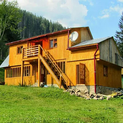 HomesteadHomestead "Kraynya Khata na Seli" Synevyrska Polyanaunder 1 km from the riverHot tubSaunaBBQNearby: Ozerna Mountain 2.8 kmKamyanka Mountain 6.5 km5 trails
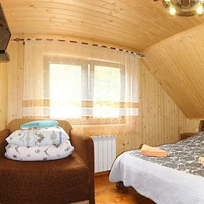 HomesteadHomestead "By the River" Synevyrska Polyanaunder 1 km from the riverSaunaBBQKitchenNearby: Kamyanka Mountain 3.2 kmSynevyr Pass 6.2 km3 trails
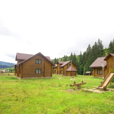 HotelМаєток "Синевирська поляна" (озеро Синевир)under 1 km from the riverSaunaBBQParkingNearby: Ozerna Mountain 2.9 kmKamyanka Mountain 6.2 km5 trails
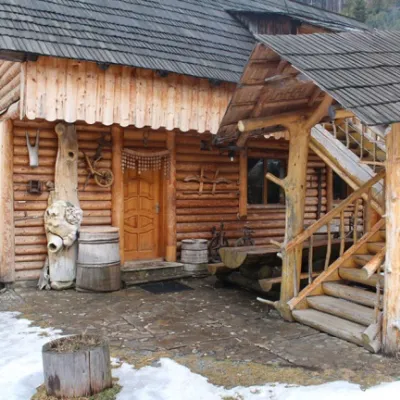 HomesteadСадиба "Будинок художника" Синевирська полянаunder 1 km from the riverPoolSaunaBBQNearby: Kamyanka Mountain 3.1 kmSynevyr Pass 6.1 km3 trails
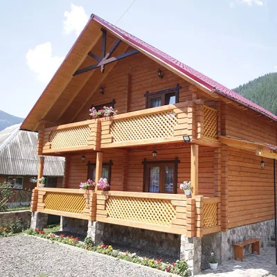 CottageCottage "Orchidea"under 1 km from the riverSaunaBBQParkingNearby: Kamyanka Mountain 4.1 kmSynevyr Pass 7.1 km6 trails
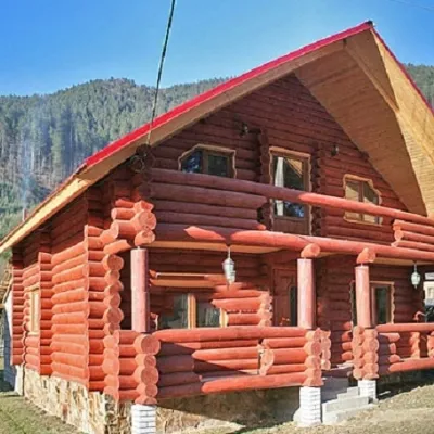 CottageКотедж "Едельвейс"under 1 km from the riverSaunaBBQKitchenNearby: Kamyanka Mountain 3.1 kmSynevyr Pass 6.1 km3 trails
Trails nearby
 ModerateTwo-dayUnmarkedMount Topas to Kolochava villagevia Mereshor villageElevation profile459–1 531 m21.8 kmascent 434 m≈ 6.5 h walkingunder 1 km from Tereblia River
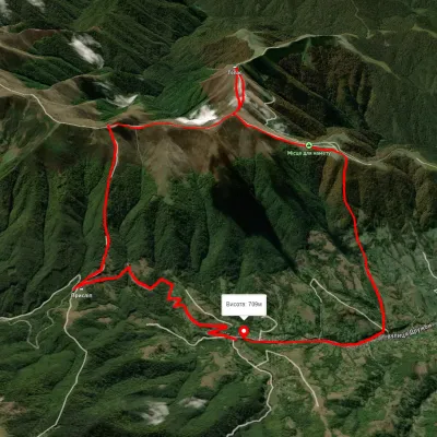 ModerateTwo-dayUnmarkedKolochava village loopvia Mount TopasElevation profile630–1 540 m16.2 kmascent 1 020 m≈ 6 h walkingunder 1 km from Tereblia River
 HardMulti-dayMarkedTranscarpathian Tourist TrailElevation profile198–2 031 m393.2 kmascent 30 283 munder 1 km from Tereblia River
Nearby attractions
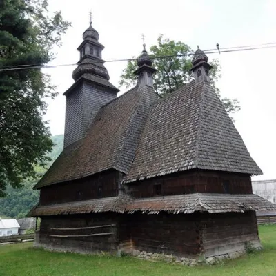 ChurchHoly Spirit Church, Kolochava2.2 km from Tereblia RiverTheChurch of the Holy Spirit is a wooden church-museum located on a hill near the main road among the spruce trees in the village of Kolochava, Mizhhiria district,...
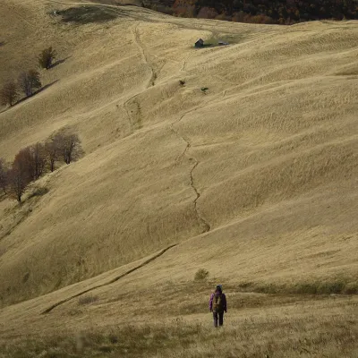 PeakMount Topasaltitude 1 548 m · Svydovets range4.4 km from Tereblia RiverTopas is a mountain in the Ukrainian Carpathians, in the Polonyna Krasna massif, Tiachiv district of Zakarpattia Oblast.
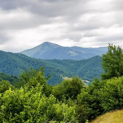 PeakMount Strymbaaltitude 1 719 m · Gorgany range5.2 km from Tereblia River4 trails to the topMount Strymba is a 1,719-meter peak of the Ukrainian Carpathians, which lies within the Gorgan mountain range - on the territory of the Pryvododilni Gorgan.