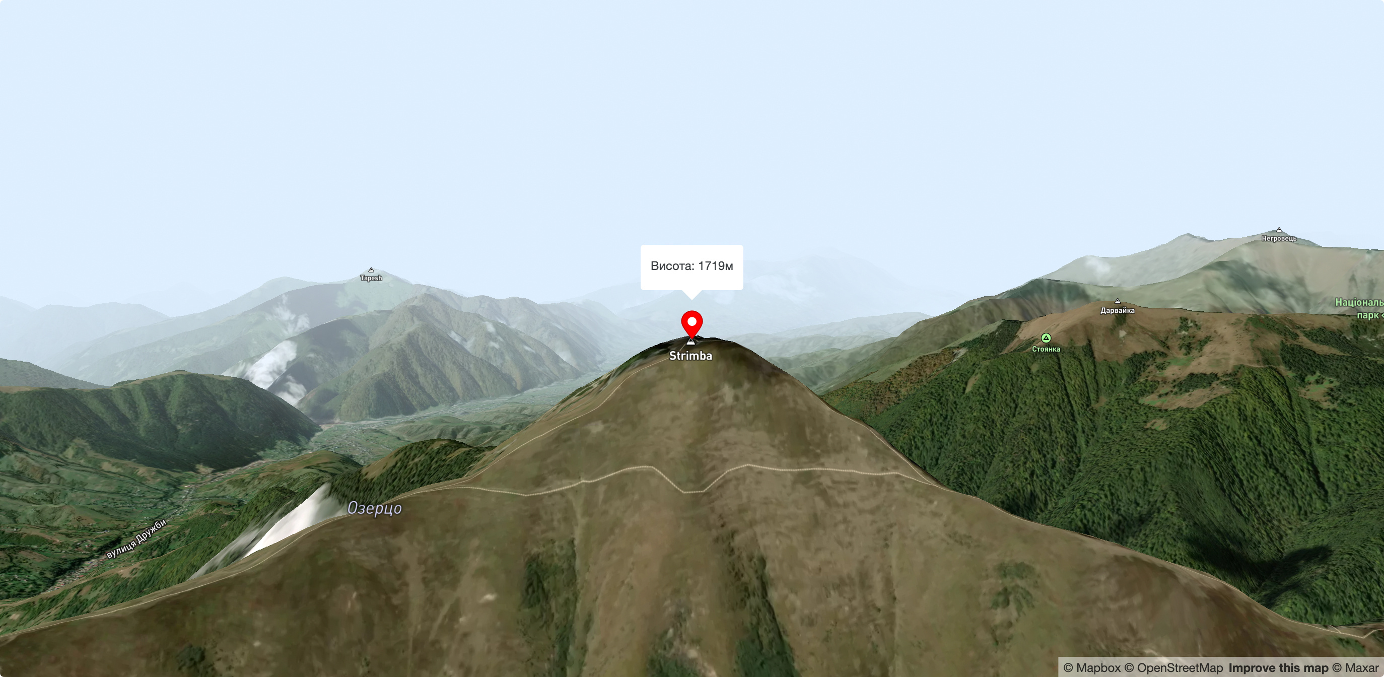
Mount Strymba
Mount Strymba is a 1,719-meter peak of the Ukrainian Carpathians, which lies within the Gorgan mountain range - on the territory of the Pryvododilni Gorgan. The mountain is located on the ridge of the same name on the border of two districts of Zakarpattia region: Tyachiv and Mizhhirya districts.
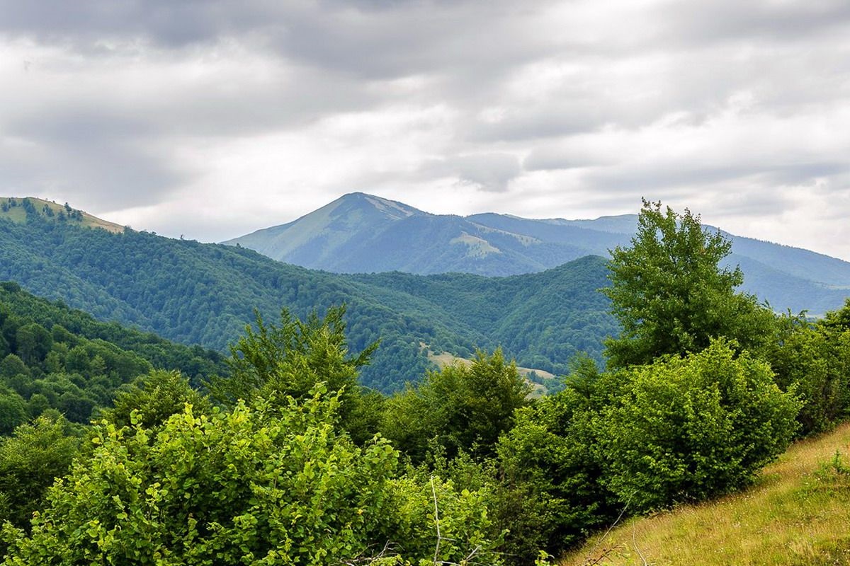
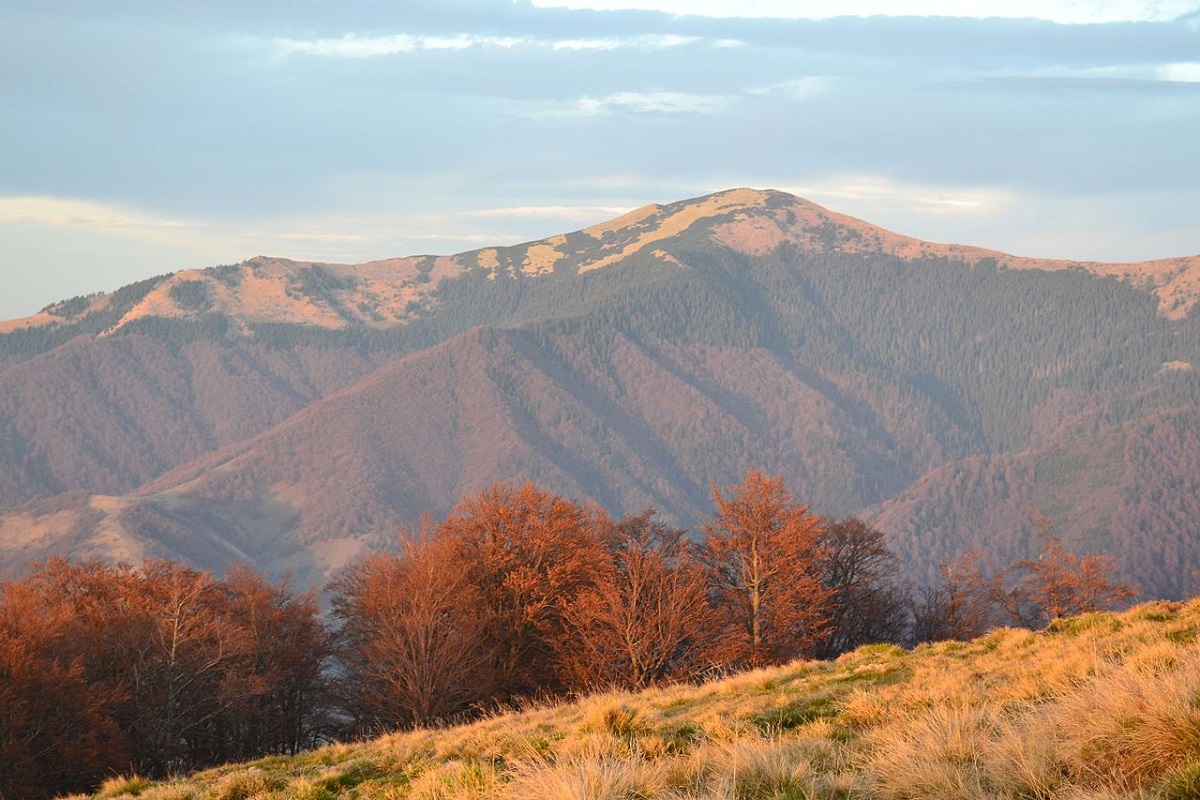
The Strymba is a triangular peak covered with thickets of mountain pine and characteristic Gorgan stone placers. Up to an altitude of 1300-1400 m, the slopes are covered with spruce and beech forests, above this line - with grasses and shrubs. There are small lakes in the gorges.
In the northwestern and eastern directions, the slopes of the mountain are very steep and difficult to pass, in the southeastern direction they are gentle, smoothly turning into a saddle that connects to Mount Stryminis.
To the south of the mountain is the Krasna Ridge, to the northwest is the Pyshkonia Ridge, and to the west is the Tereblya River Valley with the villages of Synevyr, Kolochava, Negrovets, and Horb.
The southwestern part of Strymba is located in the Synevyr National Nature Park.
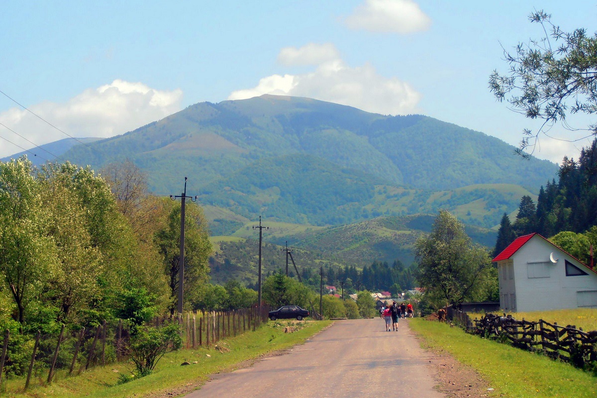
The nearest settlement is the village of Kolochava in Mizhhiria district of Zakarpattia region.
Accommodation around Mount Strymba:


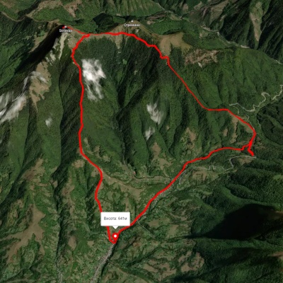
Nearby hiking trails near Mount Strymba:


Які маршрути проходять повз Mount Strymba?
Пропонуємо пройти такі туристичні (пішохідні) маршрути через/біля Mount Strymba: с. Колочава, через г. Стримба, пер. Присліп до с. Колочава, с. Колочава – г. Стримба – с. Колочава, с. Колочава – г. Стримба – с. Колочава, На Стримбу, с. Колочава – г. Топас – с. Колочава, г. Топас, через с. Мерешор до с. Колочава