Red crossbill
About
The Red crossbill is a bird of coniferous forests, and in the Carpathians, it is easiest to encounter among spruces. In Ukraine, it is a resident, nomadic, and wintering bird of the Carpathians, northeastern Polissya, and the Crimean Mountains. In southern Europe, the crossbill inhabits the mountain belt of coniferous forests, most often at altitudes of 1200–2000 m, and in years when cones are scarce, flocks wander far beyond their usual ranges.
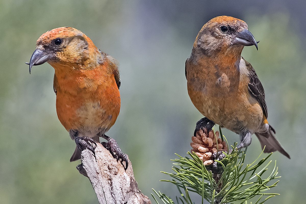
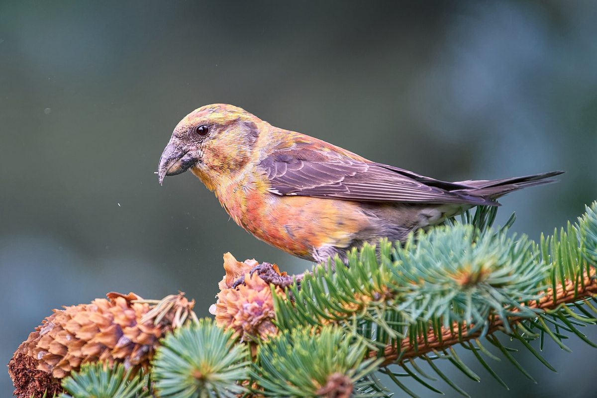
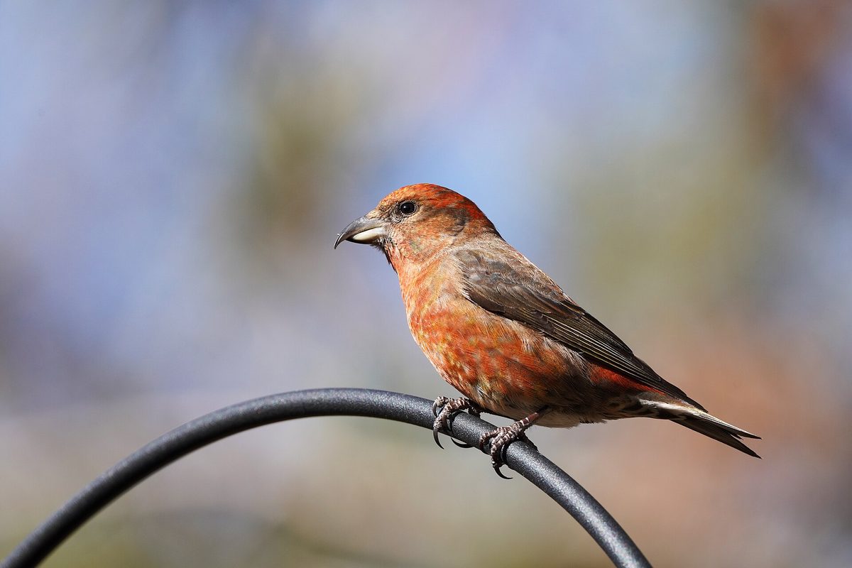
The main feature of the crossbill is its bill: the tips are crossed, like scissors. With this bill, the bird pries open the scales of spruce cones and extracts seeds, which it feeds on for almost the entire year. The crossbill is up to 17 cm long, with a wingspan of 27–31 cm and a weight of 28–40 g. The adult male is almost entirely bright red, the female is greenish-yellow, and the young birds are grayish and mottled.
Crossbills often call out with a sharp short "pit-pit," especially in flight, while their song consists of twittering trills. Under the spruces, where a flock feeds, scattered cones lie on the ground, and a quiet cracking sound can be heard.
The most remarkable thing about crossbills is their nesting schedule: they raise chicks when the seeds are ripe, so chicks can appear in winter, autumn, and spring, most often from December to May. The birds build a large, well-insulated nest from twigs, moss, lichens, and fur directly on spruce branches, even when deep snow lies around. The Red crossbill is not listed in the Red Data Book of Ukraine.
Where in the Carpathians

The map shows where naturalists recorded the species (GBIF, CC0 and CC BY records), not every place it lives. The Ukrainian Carpathians are less studied, so a blank area does not mean the species is absent.
- Countries
- Poland · Slovakia · Romania · Czechia · Ukraine · Hungary · Austria · Serbia
- Mountain ranges
- High Tatras, Western Tatras, Moravian-Silesian Beskids, Low Tatras, Żywiec Beskids, Volovec Mountains, Silesian Beskids, Gorgany, Gorce, Babia Góra
- Altitude belts
- Foothills (below 600 m) · Beech forests (600–1200 m) · Conifer forests (1200–1600 m)
When to see it
| Jan | Feb | Mar | Apr | May | Jun | Jul | Aug | Sep | Oct | Nov | Dec | |
|---|---|---|---|---|---|---|---|---|---|---|---|---|
| Sightings |
From naturalists’ observations in the Carpathians (iNaturalist, research grade): the darker the cell, the more often the species is seen that month.
Protection and rules
Not listed in the Red Data Book of Ukraine.
FAQ
Why does the crossbill have a crossed bill?
With its crossed bill tips, it pries open the scales of cones and extracts seeds, which it feeds on for almost the entire year.
Do crossbills really nest in winter?
Yes. They raise chicks when the seeds are ripe, so nests can be found even amid snow, most often from December to May.
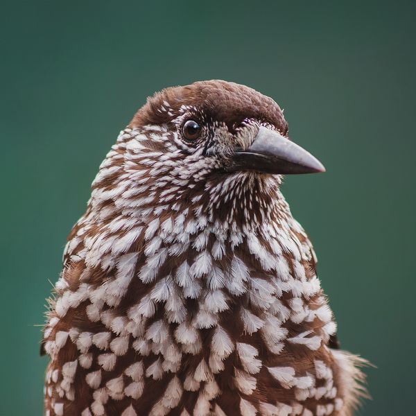
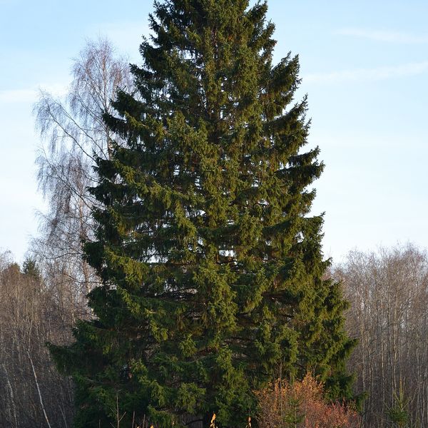
Similar species
Where to meet it
Trails
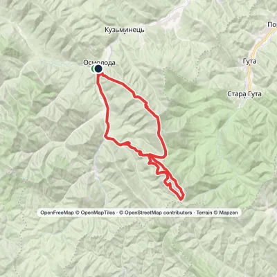 HardMulti-dayMarkedOsmoloda village loopvia Mount Vysoka, Mount Borevka +2Elevation profile716–1 836 m44.1 kmascent 1 967 m
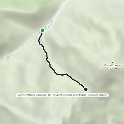 EasyOne-dayMarkedTrail to Velykyi and Malyi KanusiakElevation profile964–1 364 m1.8 kmascent 400 m≈ 1.5 h walking
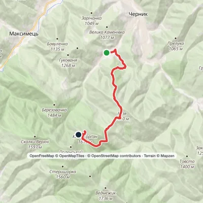 ModerateOne-dayChernyk village to Mount Kiziiskyi Horhanvia Chernyk WaterfallElevation profile737–1 617 m11.1 kmascent 1 062 m≈ 5 h walking
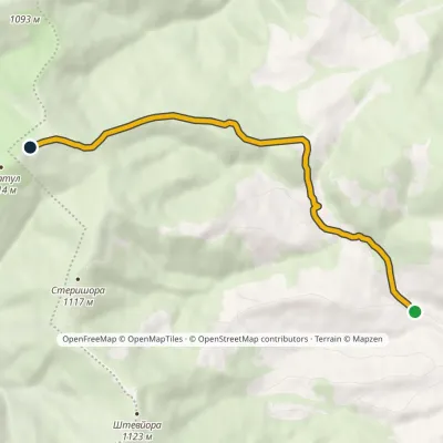 EasyOne-dayMarkedMedvezhyi tract Mount KuratulElevation profile647–1 123 m5.6 kmascent 476 m≈ 2.5 h walking
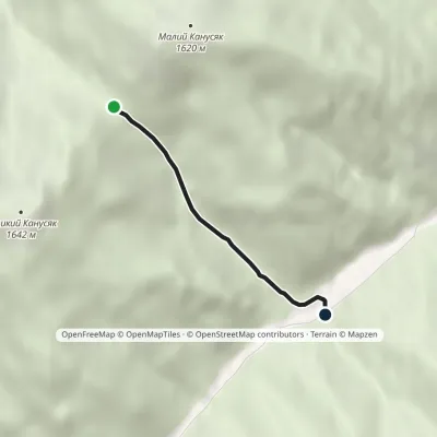 EasyOne-dayMarkedPetros river Kanusiakyvia Pereluch polonynaElevation profile858–1 361 m2.3 kmascent 26 m≈ 45 min walking
 ModerateTwo-dayMarkedBystrytsia village loopvia Mount HropaElevation profile867–1 759 m14.9 kmascent 892 m≈ 5.5 h walking
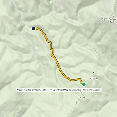 ModerateTwo-dayMarkedChorna Tysa HladynElevation profile985–1 243 m16.9 kmascent 3 m≈ 4 h walking
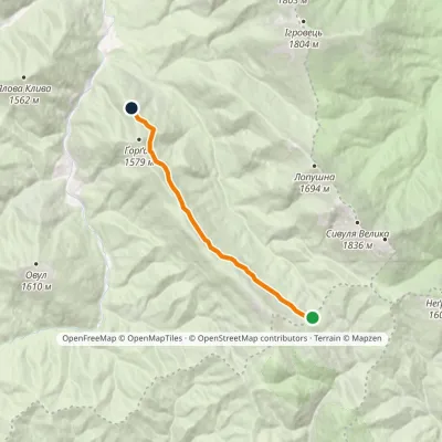 EasyOne-dayMarkedGorgan ridge traverseElevation profile1 330–1 469 m8.1 kmascent 106 m≈ 2 h walking
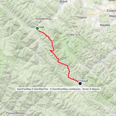 HardMulti-dayMarkedOsmoloda village to Bystrytsia villagevia Mount Vysoka, Mount Ihrovets +1Elevation profile714–1 836 m41.5 kmascent 1 820 m
 HardMulti-dayMarkedStara Huta village loopvia Mount Borevka, Mount Lopushna +2Elevation profile768–1 836 m27.4 kmascent 1 257 m≈ 9.5 h walking
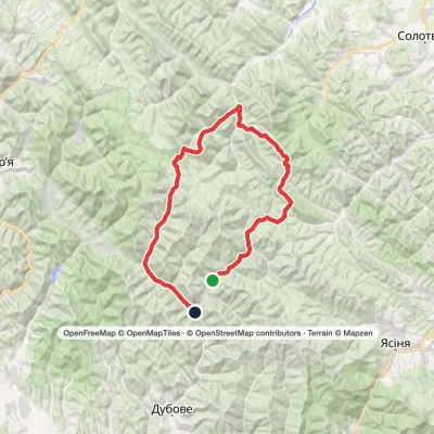 HardMulti-dayLopukhiv village to Ust-Chorna villagevia Legioniv Pass, Peklo tract +3Elevation profile521–1 836 m94.1 kmascent 3 034 m
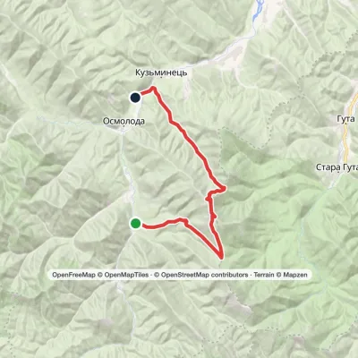 HardTwo-dayMarkedOsmoloda village loopvia Mount Ihrovets, Mount VysokaElevation profile681–1 804 m24.8 kmascent 1 131 m≈ 8.5 h walking
Peaks and meadows
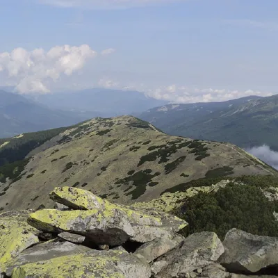 PeakMount BorevkaStara Hutaaltitude 1 596 m · Gorgany range19 trails to the topMount Borevka is a 1,596-meter peak of the Ukrainian Carpathians, located in the northeastern part of the...
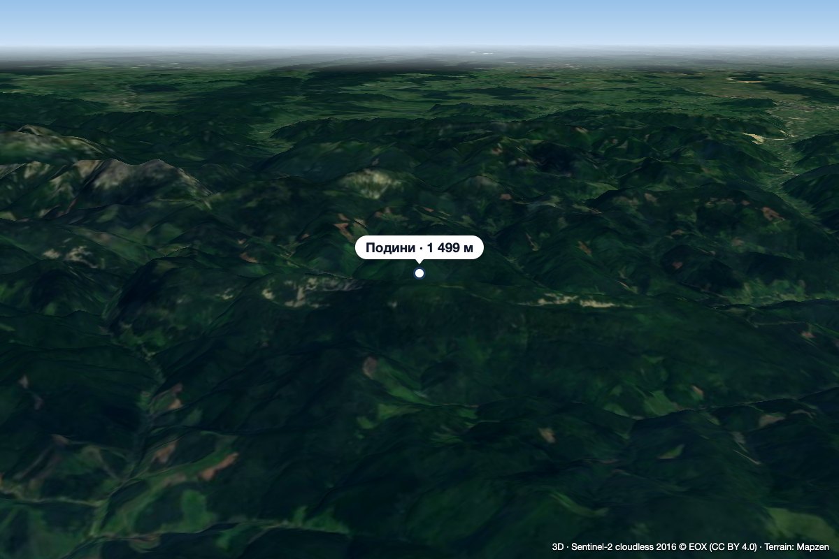 PeakMount PodynyBystrytsiaaltitude 1 499 m · Gorgany rangeMount Podyny (about 1499 m) is the highest summit of the Tavpyshyrka ridge in the Gorgany.
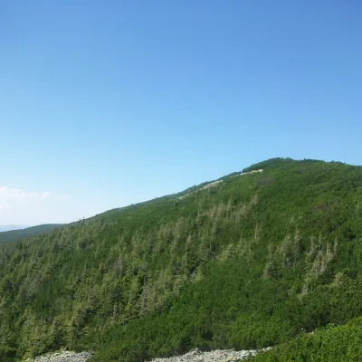 PeakMount TovstaZelenaaltitude 1 399 m · Gorgany rangeTovsta is a mountain in the Gorgany massif. It lies in the Nadvirna district of Ivano-Frankivsk Oblast, north-east of...
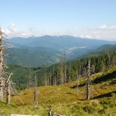 PeakMount TavpyshBystrytsiaaltitude 1 450 m · Gorgany rangeTavpysh is a 1,450 m summit of the Tavpyshyrka ridge in the central Gorgany, in the Nadvirna district of Ivano...
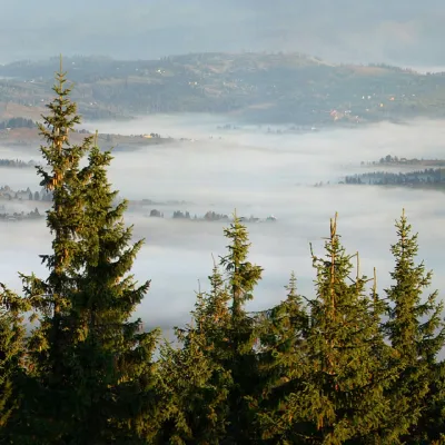 PeakMount KukulVorokhtaaltitude 1 539 m20 trails to the topKukul (another name - Kukul) is a 1539-meter peak in the Ukrainian Carpathians, which is located in the northern...
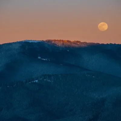 PeakMount KostrychaKryvopilliaaltitude 1 586 m · Chornohora rangeKostrycha is the 1,586 m highest summit of the ridge of the same name. The Kostrycha ridge, which also includes Mount...
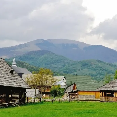 PeakMount DarvaikaKolochavaaltitude 1 502 m · Gorgany range1 trail to the topDarvaika is a mountain of the Inner Gorgany, in the south-eastern part of the Pyshkonia ridge.
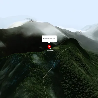 PeakMount YavirnykBerehyaltitude 1 405 m17 trails to the topMount Yavirnyk is located in the Carpathians, near the village of Synevyr, in western Ukraine.
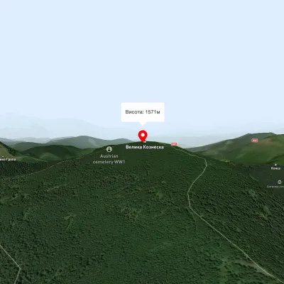 PeakMount Velyka KozmeskaVoronenkoaltitude 1 571 mMount Wielkie Kozmeska is a peak with an altitude of 1571.7 meters above sea level.
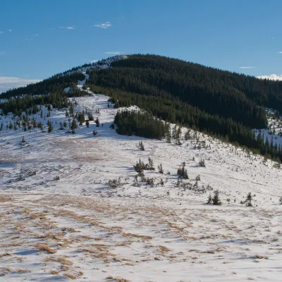 PeakMount SkupovaZelenealtitude 1 579 m · Hryniava Mountains range3 trails to the topMount Skupova is the peak of the Ukrainian Carpathians, which is located in the Hryniava mountain range.
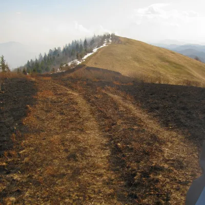 PeakMount Vysokyi Verkh (Rosokhatskyi)Rosokhachaltitude 1 177 m · Skole Beskids range2 trails to the topVysokyi Verkh (Rosokhatskyi) is a 1,176.8 m summit on the border of the Skole Beskids and the Stryi-Sian Highland.
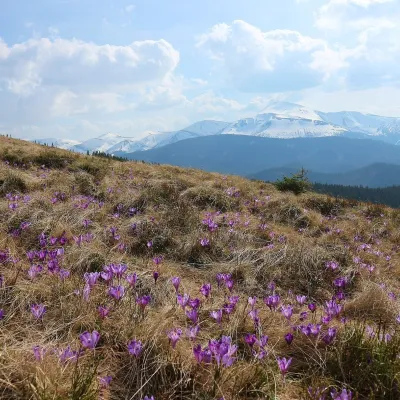 Mountain meadow1 430 mPolonyna ZakukulVorokhtaPolonyna Zakukul lies on the south-eastern slope of Mount Kukul (1539 m), the highest summit of the ridge of the same...
Waters and waterfalls
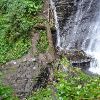 WaterfallZhenetsky Hook waterfallMykulychynZhenetskyi Huk is one of the most convenient Carpathian waterfalls for tourists, as it is accessible by a direct,...
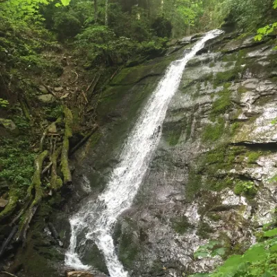 WaterfallNarinetskyi waterfall, MykulychynMykulychynNarinetskyi Waterfall is a waterfall in the Ukrainian Carpathians, on the Noretskyi Stream (a left tributary of the...
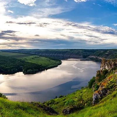 RiverDniesterVovcheThe Dniester is one of the most famous and largest rivers in Ukraine. The Dniester has been used as an important...
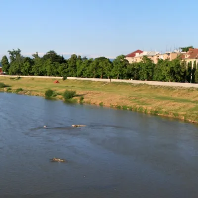 RiverLatorytsiaRoztokaLatorytsia River - Latorytsia and its surroundings are a popular destination for eco-tourism.
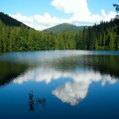 LakeSynevyr Lake Synevyrska PolyanaSynevyrska PolyanaLake Synevyr, located on the territory of the National Nature Park of the same name in Mizhhirya district of...
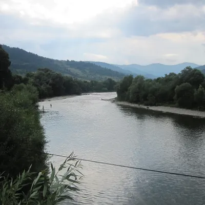 RiverStryi RiverTurkaThe Stryi is one of the largest Carpathian tributaries of the Dniester: 232 km from its source between Mount Yavirnyk...
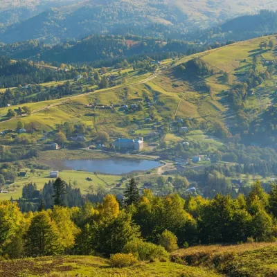 LakeLake Bukovets (Bukovetsky Pass)BukovetsThe large lake Bukivets is located on the border of Kosiv and Verkhovyna districts.
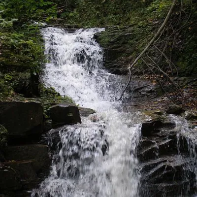 WaterfallChemernarsky Hook waterfallDolishnii ShepitChemernarsky Huk Waterfall is a small but very beautiful waterfall located in the village of Dolishniy Shepit,...
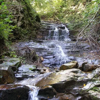 WaterfallChemernarsky waterfall Lower HookDolishnii ShepitThe Chemernarsky Lower Hook Waterfall (also known as Lower Shepit) is located in Dolishnyi Shepit, in the western...
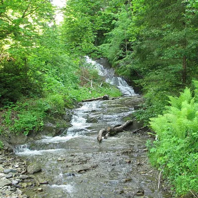 WaterfallYavorivskyi Huk waterfallYavorivYavorivskyi Huk is a 6-meter-highcascading waterfall, a geological natural monument of local importance in Ukraine.
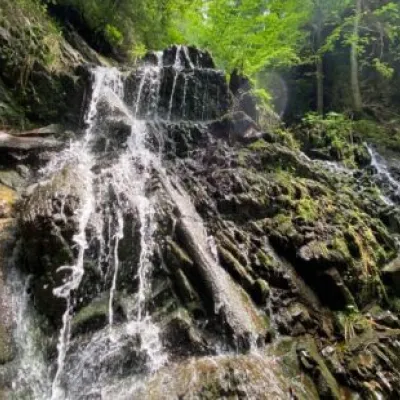 WaterfallYavorivska Niagara waterfallYavorivThe waterfall, or rather a cascade of waterfalls, is located on the bed of the Bedzvinnii stream and is situated...
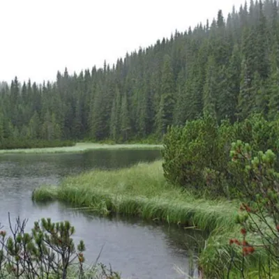 LakeLake MaricheykaYavirnyk (Shybene)Lake Maricheyka is one of the most picturesque high-altitude glacial lakes in the Carpathians, located on the...
Mountain ranges: Gorgany, Bieszczady. In other countries: 🇸🇰 High Tatras, 🇸🇰 Western Tatras, 🇨🇿 Moravian-Silesian Beskids, 🇸🇰 Low Tatras, 🇵🇱 Żywiec Beskids, 🇸🇰 Volovec Mountains, 🇵🇱 Silesian Beskids, 🇵🇱 Gorce, 🇵🇱 Babia Góra, 🇷🇴 Bihor-Vlădeasa Mountains, 🇷🇴 Bucegi Mountains, 🇸🇰 Greater Fatra
Trails and peaks near which naturalists recorded the species (GBIF, iNaturalist), matched by altitude and habitat. Sightings are not guaranteed.
Sources
- Вікіпедія: Шишкар ялиновий
- Wikipedia (en): Red crossbill
- Wikipedia (pl): Krzyżodziób świerkowy
- Перелік видів тварин, що заносяться до Червоної книги України (наказ Міндовкілля від 19.01.2021 № 29, зареєстровано в Мін'юсті 01.03.2021 за № 260/35882)
- Міндовкілля: текст переліку видів тварин Червоної книги України (PDF)
- GBIF: таксон і категорія МСОП
GBIF · iNaturalist · Wikidata · Distribution data: GBIF.org (CC0 and CC BY records), iNaturalist; names and identifiers: Wikidata (CC0). Text: Karpaty.rocks, checked 09.11.2026.
