Mount Tavpysh
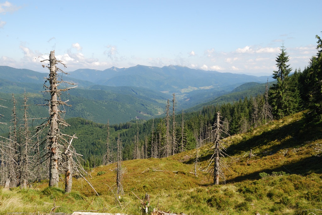
Tavpysh is a 1,450 m summit of the Tavpyshyrka ridge in the central Gorgany, in the Nadvirna district of Ivano-Frankivsk Oblast. The ridge, about 9 km long, runs from north-west to south-east west of the village of Bystrytsia (about 12 km from the summit); hikers also approach it from Osmoloda (about 11 km). About 6 km to the south-east rises Velyka Syvulia (1,836 m), the highest peak of the Gorgany.
Tavpysh is one of several gentle summits of the ridge, whose slopes are steep and wooded, with mountain pastures and scree near the top. According to OpenStreetMap, the neighbouring summits are Gorgan (1,441 m) about 2.1 km to the north-west, Podyny (1,499 m) 3 km to the south-east and Torgan (1,405 m) 3.3 km to the north-west. The Legioniv pass lies south of the ridge and the Peklo cliffs to the north-west.
How to get there
Eight of our routes cross Tavpysh or pass within 120 m of it. The shortest is Bystrytsia – Mount Tavpysh – Mount Velyka Syvulia (20.1 km, about 1,700 m of ascent). A longer crossing is Maksymets – Mount Hechura – Pereniz pass – Mount Tavpysh – Bystrytsia (34.4 km). From Stara Huta you can take Stara Huta – Mount Vysoka – Mount Ihrovets – Mount Syvulia – Mali Rohodzy pass (35.1 km), and for a multi-day trek Stara Huta – Mount Syvulia – Legioniv pass – Mount Bratkivska – Mount Chorna Kleva – Mount Ploska – Mount Dovha – Polianytsia (67.5 km).
Water, shelter and safety
Our map shows the nearest spring about 350 m north of the summit (around 1,365 m), with several more 420–800 m to the north and north-east (two of them weak). A weather shelter stands on the Tavpysh pasture about 370 m to the north. The Preluka forester’s hut is about 2.2 km to the west, and huts below Bystra and by the Salatruk stream about 2.4–2.7 km to the east. The condition of most springs is unknown. The pastures are exposed to wind, and in fog it is easy to lose the path on the scree. Much of the ridge lies within nature reserves, so follow the rules of protected areas. The nearest summit with our forecast is weather on Velyka Syvulia (about 6 km away). In an emergency call 112 or 101 — contacts of the nearest units are on our mountain rescue page.
Interesting facts
- The boundary between Ivano-Frankivsk and Zakarpattia oblasts follows the north-western part of the Tavpyshyrka ridge; before the Second World War this was the state border between Poland and Czechoslovakia.
- The ridge is protected by the Tavpyshyrka botanical reserve, the Tavpishyrka protected forest and a high-mountain arboretum; on the Zakarpattia side there is the Horhany i Tavpishyrka reserve with relict Swiss stone pine.
- The Salatruchil waterfall lies at the north-eastern foot of the ridge.
Photos: Yurii-mr, CC BY-SA 3.0 — Wikimedia Commons.
Location on the map
Comments
Places to stay nearby
 Homestead"U Davidka i Matviika"11 km from Mount TavpyshFireplaceKitchenParkingNearby: Mt Petros Gorgansky 4.6 kmMt Studenets 3.8 km2 trails
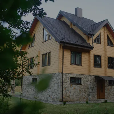 HomesteadHomestead "Albertville" Osmoloda11 km from Mount TavpyshFireplaceKitchenParkingNearby: Mt Petros Gorgansky 4.8 kmMt Studenets 4.0 km2 trails
 HomesteadHomestead "Faini Karpaty" Osmoloda11 km from Mount TavpyshSaunaBBQKitchenNearby: Mt Petros Gorgansky 4.6 kmMt Studenets 3.8 km2 trails
Trails nearby
 HardTwo-dayUnmarkedBystrytsia village to Mount Velyka Syvuliavia Mount TavpyshElevation profile736–1 817 m20.1 kmascent 1 694 m≈ 8.5 h walkingunder 1 km from Mount Tavpysh
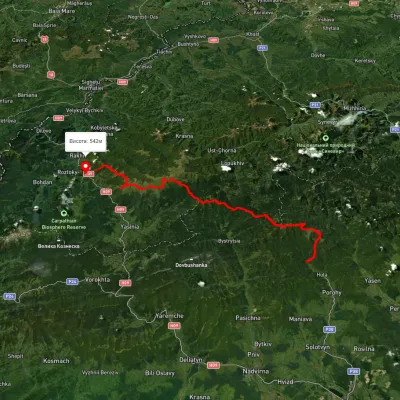 HardMulti-dayUnmarkedStara Huta village to Bilyn villagevia Mount Vysoka, Mount Syvulia +4Elevation profile481–1 850 m95.9 kmascent 5 130 munder 1 km from Mount Tavpysh
 HardMulti-dayUnmarkedStara Huta village to the Mali Rohodzy Passvia Mount Vysoka, Mount Ihrovets +1Elevation profile705–1 796 m35.1 kmascent 2 581 m≈ 14 h walkingunder 1 km from Mount Tavpysh
Nearby attractions
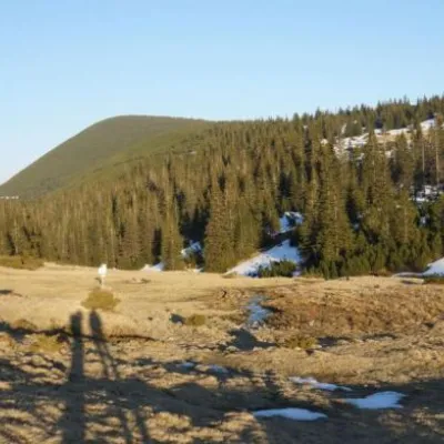 Mountain meadowPolonyna Ruschynaaltitude 1 409 m4.3 km from Mount TavpyshRuschyna meadow is famous for its panoramic views of the mountains that surround it from all sides and the diversity of flora and fauna.
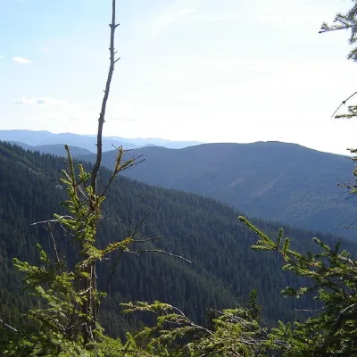 PeakMount Kinets Horhanualtitude 1 580 m · Gorgany range4.5 km from Mount Tavpysh2 trails to the topThe End of Horgan is a 1599-meter mountain of the Ukrainian Carpathians, which is located on the Horgan Ridge (its highest peak) in the Central Horgan Mountains.
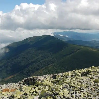 PeakMount Negrovaaltitude 1 604 m · Gorgany range4.8 km from Mount Tavpysh11 trails to the topNegrova is a peak in the central part of the Gorgan mountain range(Ukrainian Carpathians). The height of Negrova is 1604 meters (according to other information - 1602 m).