Norway spruce
About
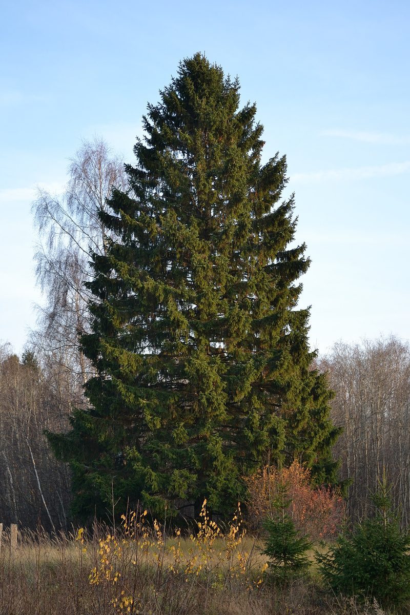
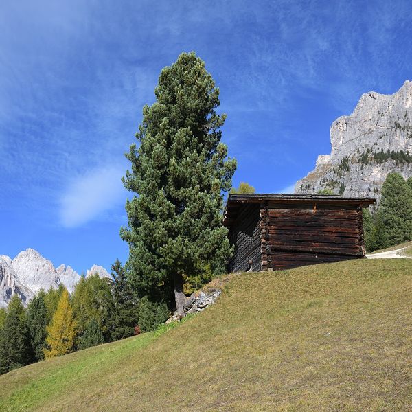
The European spruce, known as Norway spruce in the Carpathians, shapes the landscape of the Ukrainian mountains. Norway spruce forests cover the slopes above the beech belt and rise to the upper forest boundary, and in the mountains, the tree occurs at altitudes of up to 1800 m. On the polonynas, solitary spruces, battered by wind and snow, mark where the forest ends.
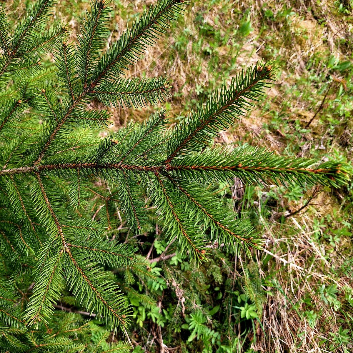
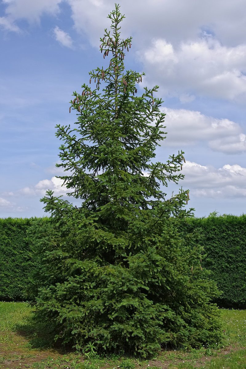
This tall tree reaches 25–40 m in height with a dense pyramidal, sharply conical crown. The needles are short, 1.3–2.5 cm, four-sided, prickly, shiny, and grow singly on the branches, lasting five to six years. The cones are elongated-cylindrical, 10–15 cm, initially green or purple, then brown, and always hang downwards. Good cone yields occur once every four to six years.
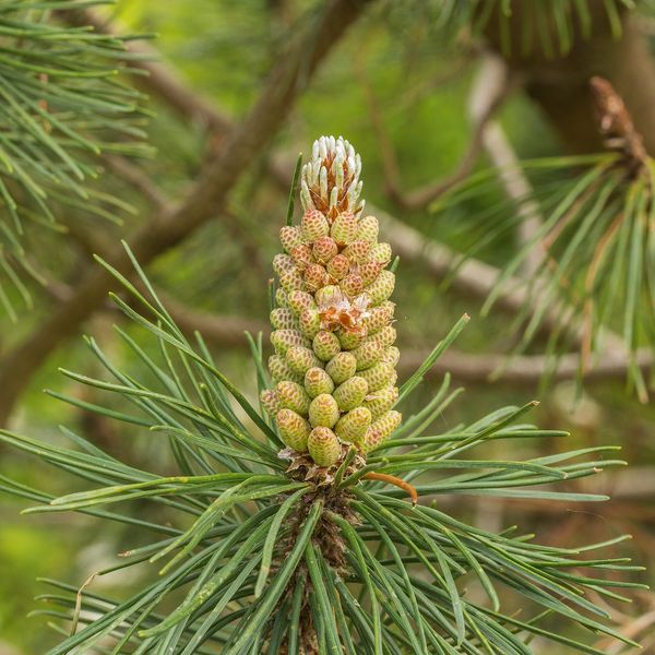
Norway spruce is often confused with white fir, which grows in the same forests. The difference is simple: white fir has flat, soft needles with two white stripes underneath, and its cones stand upright on the branches like candles and disintegrate on the tree. Norway spruce cones hang and fall off whole.
Norway spruce is the foundation of mountain agriculture: it was used to build Hutsul houses, churches, and Kolibas, and it is made into trembita. At the same time, Norway spruce is often planted in monocultures and where beech or mixed forests would naturally grow. Such single-aged forests are sensitive to drought, windfall, and bark beetles.
Where in the Carpathians

The map shows where naturalists recorded the species (GBIF, CC0 and CC BY records), not every place it lives. The Ukrainian Carpathians are less studied, so a blank area does not mean the species is absent.
- Countries
- Slovakia · Czechia · Ukraine · Poland · Romania · Hungary · Austria · Serbia
- Mountain ranges
- Strážov Mountains, Low Tatras, Slovak Ore Mountains, Greater Fatra, Lesser Fatra, High Tatras, Moravian-Silesian Beskids, Western Tatras, Volovec Mountains, Żywiec Beskids
- Altitude belts
- Foothills (below 600 m) · Beech forests (600–1200 m) · Conifer forests (1200–1600 m)
When to see it
| Jan | Feb | Mar | Apr | May | Jun | Jul | Aug | Sep | Oct | Nov | Dec | |
|---|---|---|---|---|---|---|---|---|---|---|---|---|
| Sightings |
From naturalists’ observations in the Carpathians (iNaturalist, research grade): the darker the cell, the more often the species is seen that month.
Protection and rules
Not protected as a species. Norway spruce primeval forests are protected in reserves and national parks.
FAQ
How does Norway spruce differ from white fir?
Norway spruce has four-sided, prickly needles, and its cones hang downwards. White fir has flat, soft needles with two white stripes underneath, and its cones stand upright and disintegrate on the tree.
To what height does Norway spruce grow in the Carpathians?
Norway spruce forests rise to the upper forest boundary; individual trees occur at altitudes of up to 1800 m.
Similar species
Where to meet it
Trails
 HardTwo-dayMarkedVoronenko village to Vorokhtavia Mount KukulElevation profile740–1 539 m22.7 kmascent 797 m≈ 7.5 h walking
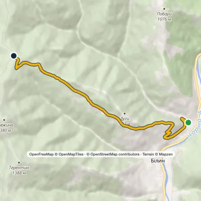 ModerateOne-dayMarkedBilyn village Perelisok shelterElevation profile509–1 279 m6.5 kmascent 770 m≈ 3 h walking
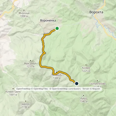 ModerateOne-dayMarkedVoronenko village Ozirna polonynaElevation profile832–1 414 m10.5 kmascent 657 m≈ 4 h walking
 ModerateOne-dayMarkedVorokhta village Rizhi PassElevation profile761–1 295 m8.8 kmascent 570 m≈ 3.5 h walking
 HardMulti-dayIltsi village to Voronenko villagevia Mount KukulElevation profile637–1 586 m45.8 kmascent 1 957 m
 ModerateOne-dayMarkedVoronenko village Mount KukulElevation profile832–1 539 m13.4 kmascent 779 m≈ 5 h walking
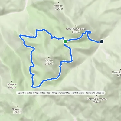 ModerateOne-dayMarkedEco-trail around Mount GrofaElevation profile914–1 472 m13.6 kmascent 302 m≈ 4 h walking
 EasyOne-dayMarkedMount Kukul VorokhtaElevation profile765–1 539 m9.2 kmascent 53 m≈ 2.5 h walking
 HardMulti-dayVoronenko village to Vorokhtavia Mount KukulElevation profile745–1 451 m30.3 kmascent 811 m≈ 9 h walking
 ModerateOne-dayMarkedVorokhta Mount Kukulvia Perehslyp tractElevation profile740–1 539 m11.7 kmascent 805 m≈ 4.5 h walking
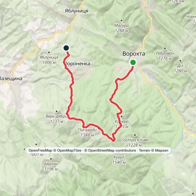 HardMulti-dayMarkedVorokhta to Yablunytsia villagevia Mount KukulElevation profile740–1 455 m24.6 kmascent 876 m≈ 8 h walking
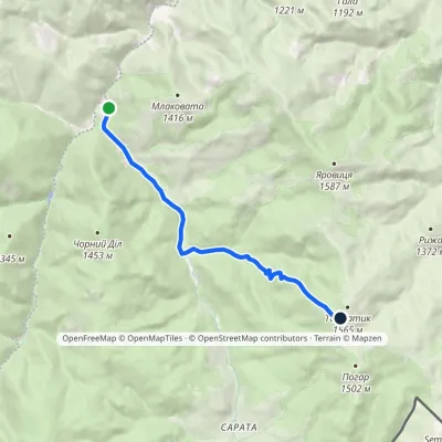 ModerateOne-dayMarkedPerkalaba Mount TomnatykElevation profile957–1 542 m8.7 kmascent 594 m≈ 3.5 h walking
Peaks and meadows
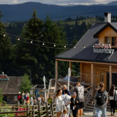 Mountain meadow940 mPolonyna Pertsi Ethno Park, YablunytsiaYablunytsiaPolonyna Pertsi (“Pepper Meadow”) is an ethno park of Hutsul traditions in Yablunytsia, close to the Yablunytsia Pass.
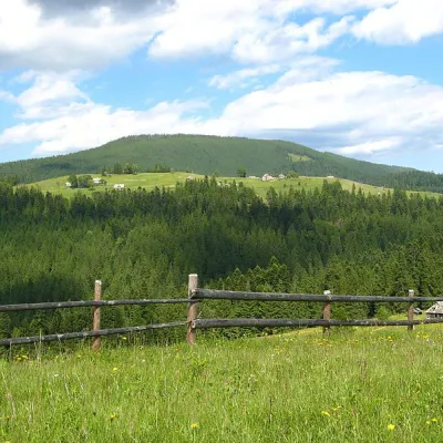 PeakMount Magura, TatarivTatarivaltitude 1 288 m · Gorgany rangeMagura (1288 m) is a forested ridge in the Gorgany range between Tatariv, Yablunytsia and Vorokhta, within the...
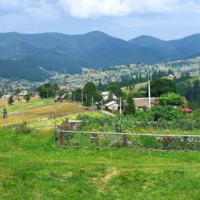 PeakMount OseredokVorokhtaaltitude 915 m · Chornohora range1 trail to the topOseredok is a modest 915 m summit right above Vorokhta (about 2 km), north of the Chornohora range, in Ivano...
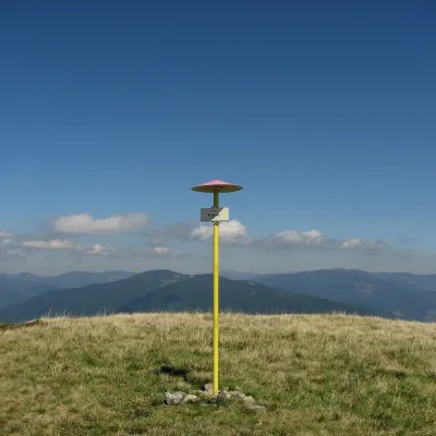 PeakMount KlymovaKolochavaaltitude 1 492 mKlymova is a 1,492 m summit of the Polonyna Krasna range. It lies in the Tiachiv district of Zakarpattia Oblast,...
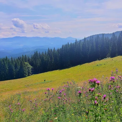 PeakMount Kychera (Vorokhta)Vorokhtaaltitude 1 225 m · Chornohora rangeKychera is a 1,225 m summit north of the Chornohora range, in Ivano-Frankivsk Oblast.
 PeakMount ShpanskaUst-Chornaaltitude 1 458 m10 trails to the topThe top of Mount Shpanska (1458 meters above sea level) is located northwest of Mount Tempa within the Tyachiv...
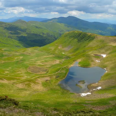 Mountain meadow1 600 mPolonyna HeryshaskaYasinyaPolonyna Heryshaska (also Hereshaska or Herashaska) is a high mountain meadow in the central part of the Svydovets...
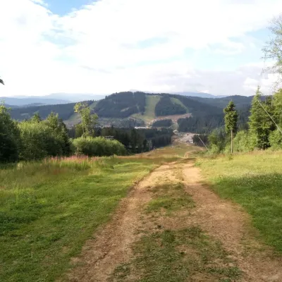 PeakMount Babyn PoharPolianytsia (Bukovel)altitude 1 449 m · Gorgany rangeBabyn Pohar is a 1,449 m mountain in the eastern Gorgany, in the Nadvirna district of Ivano-Frankivsk Oblast.
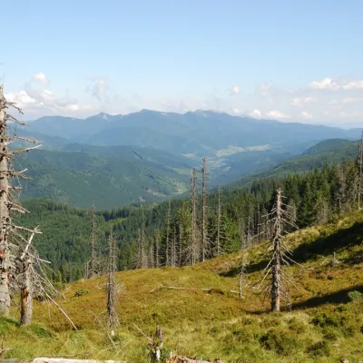 PeakMount TavpyshBystrytsiaaltitude 1 450 m · Gorgany rangeTavpysh is a 1,450 m summit of the Tavpyshyrka ridge in the central Gorgany, in the Nadvirna district of Ivano...
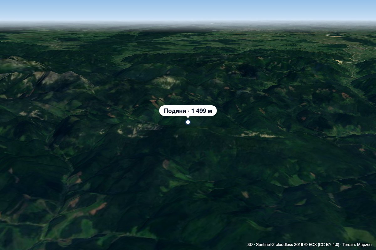 PeakMount PodynyBystrytsiaaltitude 1 499 m · Gorgany rangeMount Podyny (about 1499 m) is the highest summit of the Tavpyshyrka ridge in the Gorgany.
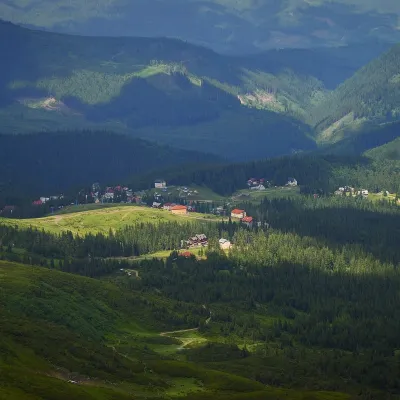 Mountain meadow1 350 mPolonyna DrahobratYasinyaDrahobrat is a high polonyna (mountain pasture) on the northern slopes of the Svydovets massif in the Rakhiv district...
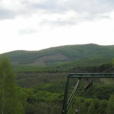 PeakMount BuzhoraOsiialtitude 1 085 m · Volcanic Carpathians range1 trail to the topMount Buzhora is the highest peak of the Volcanic Ridge of Ukrainian Carpathians.
Waters and waterfalls
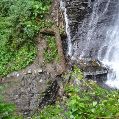 WaterfallZhenetsky Hook waterfallMykulychynZhenetskyi Huk is one of the most convenient Carpathian waterfalls for tourists, as it is accessible by a direct,...
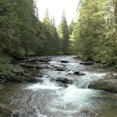 RiverPrutKryvopilliaThe Prut River is a river that connects several countries and is of great natural, historical and cultural importance.
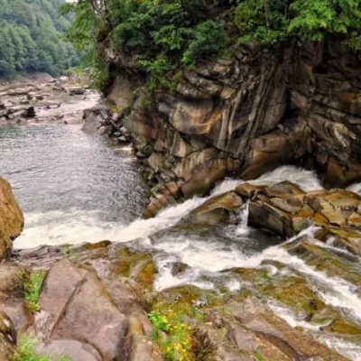 WaterfallProbiy waterfall, YaremcheYaremcheProbiy Waterfall is located in the heart of the Carpathian Mountains, in the city of Yaremche.
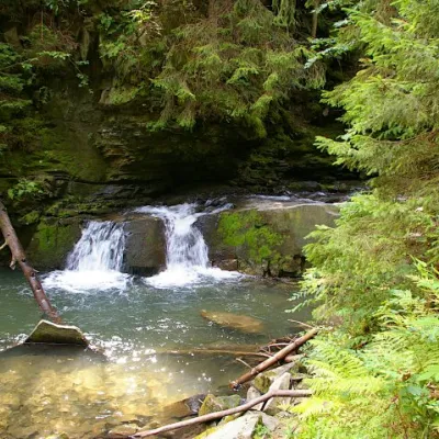 WaterfallWaterfall Maiden's Tears, YaremcheYaremcheMaiden's Tears is a waterfall in the Ukrainian Carpathians (Gorgany massif).
 WaterfallBagrovetsky waterfallYaremcheBagrovetsky Waterfall is one of the most famous waterfalls in the Yaremche region, located in the city of Yaremche.
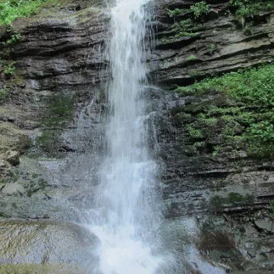 WaterfallLazny waterfallDrohobych districtLaznyi is a waterfall in the Ukrainian Carpathians (in the Skole Beskydy massif), a hydrological natural monument of...
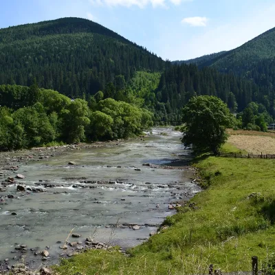 RiverChorna Tysa RiverYasinyaThe Chorna Tysa is a mountain river in eastern Zakarpattia. It rises on the northern spurs of the Svydovets massif...
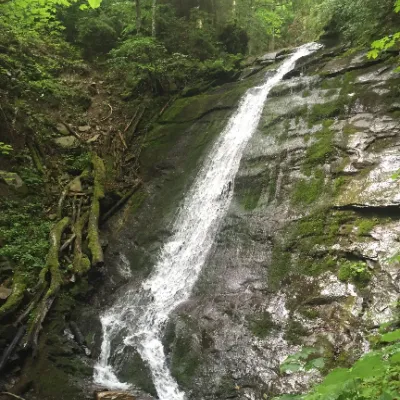 WaterfallNarinetskyi waterfall, MykulychynMykulychynNarinetskyi Waterfall is a waterfall in the Ukrainian Carpathians, on the Noretskyi Stream (a left tributary of the...
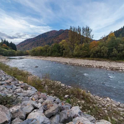 RiverTeresva RiverUst-ChornaThe Teresva forms in Ust-Chorna, where the Mokrianka and Brusturianka meet, and flows south through Dubove, Kalyny,...
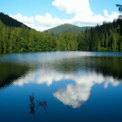 LakeSynevyr Lake Synevyrska PolyanaSynevyrska PolyanaLake Synevyr, located on the territory of the National Nature Park of the same name in Mizhhirya district of...
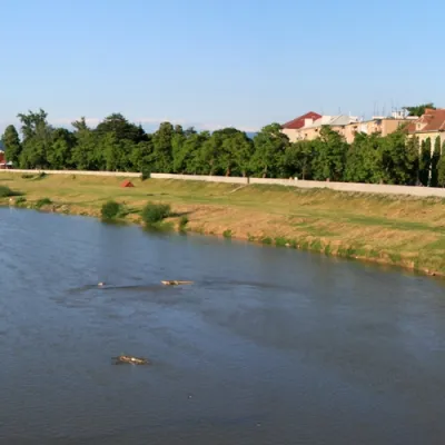 RiverLatorytsiaRoztokaLatorytsia River - Latorytsia and its surroundings are a popular destination for eco-tourism.
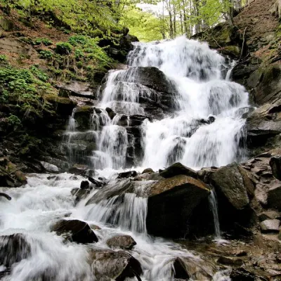 Waterfall"Shypit Waterfall" PylypetsPylypetsIn a cozy corner of the Carpathian Mountains, among the evergreen mountain forests and steep, sharp cliffs, lies the...
Mountain ranges: In other countries: 🇸🇰 Strážov Mountains, 🇸🇰 Low Tatras, 🇸🇰 Slovak Ore Mountains, 🇸🇰 Greater Fatra, 🇸🇰 Lesser Fatra, 🇸🇰 High Tatras, 🇨🇿 Moravian-Silesian Beskids, 🇸🇰 Western Tatras, 🇸🇰 Volovec Mountains, 🇵🇱 Żywiec Beskids, 🇸🇰 Slovak Paradise, 🇸🇰 Kysuce Beskids, 🇸🇰 Slovak Central Mountains, 🇸🇰 Javorníky
Trails and peaks near which naturalists recorded the species (GBIF, iNaturalist), matched by altitude and habitat. Sightings are not guaranteed.
Sources
GBIF · iNaturalist · Wikidata · Distribution data: GBIF.org (CC0 and CC BY records), iNaturalist; names and identifiers: Wikidata (CC0). Text: Karpaty.rocks, checked 09.11.2026.
