Mount Podyny
Mount Podyny (about 1499 m) is the highest summit of the Tavpyshyrka ridge in the Gorgany. It lies in Nadvirna Raion, Ivano-Frankivsk Oblast, about 8 km west of Bystrytsia village, above the valley of the Salatruk stream. The Tavpyshyrka ridge is roughly 9 km long and runs from north-west to south-east; its slopes are steep and forested, with small meadows and stone screes near the tops. Reference works give the highest point of the ridge as 1503 m, or 1499.6 m according to other data, and on OpenStreetMap that top carries the name Podyny. Several gentle tops follow along the ridge: 1464 m (about 560 m to the north-west), 1455 m and Tavpysh (1450 m), some 3 km north-west.
How to get there / routes
From Bystrytsia, the marked route Bystrytsia village – Tavpyshyrka ridge climbs to the ridge on green waymarks that pass within a few dozen metres of the summit. Bystrytsia village, via Mount Tavpysh to Mount Velyka Syvulia, which continues to Velyka Syvulia, also runs almost directly over the top. From the south, from the Legioniv Pass (1110 m) about 2.4 km to the south-west, the shorter Legioniv Pass – Tavpyshyrka ridge reaches the crest about half a kilometre from the highest point. There is a hut at the pass, Hut at Lehioniv pass, and another in the valley, Hut by the Salatruk stream.
Long Gorgany routes also cross the Legioniv Pass area, including Lopukhiv village, via Legioniv Pass, Peklo tract, Mount Syvulia, Mount Popadia and Nimetska Mokra village to Ust-Chorna village and Tatariv village, via Mount Syniak, Mount Dovbushanka, Mount Chorna Kleva, Mount Bratkivska, Mount Syvulia, Mount Kinets Horhanu, Mount Popadia and Mount Grofa to Myslivka village; they pass about 550 m from the summit, so Podyny can be added as a short detour. The nearest springs are marked in the valleys at 850–1100 m — there is no water on the crest itself.
The view from the summit
We have not found any published description of the view from Podyny itself. The top of the ridge is partly open, so in good weather you should be able to see the neighbouring Gorgany summits within 6–8 km: Boiaryn (Korotkan) and Nehrova (about 6 km away), Mala Syvulia (about 7.6 km), and the rest of the Tavpyshyrka ridge with Tavpysh to the north-west.
Nature and history
Much of the ridge is protected. In 1974 the Tavpyshyrka Botanical Reserve of national importance (424 ha) was created on the slopes of its central and north-western parts. It protects high-mountain spruce forest mixed with Swiss stone pine, and on the screes old-growth stone pine and spruce forest with silver birch; dwarf mountain pine grows at the treeline, and there are two small stands of larch. Animals include brown bear, wild boar, lynx, marten, common buzzard and capercaillie. The ridge also holds the "Tavpishyrka" protected tract and a high-mountain arboretum, and on the Zakarpattia side the "Gorgany and Tavpishyrka" botanical reserve.
The oblast boundary between Ivano-Frankivsk and Zakarpattia follows the north-western part of the ridge; before the Second World War this was the state border between Poland and Czechoslovakia. The Legioniv Pass south of the summit is named after the road built across it in November 1914 by the 3rd Infantry Regiment of the Polish Legions; before that it was called Veliki Rohodze. At the north-eastern foot of the ridge, about 2.6 km east of the summit, is the two-step Salatruchil waterfall, about 6 m high.
The origin of the name Tavpyshyrka is uncertain. One theory links it to the Romanian ţeapă ("stake, spike"), the same root as Vlad Țepeș's nickname; another derives it from the Hungarian talpa ("sole"). Locals pronounce it "Talpishurka".
Safety, season and rules
The best time to go is June to October. Gorgany slopes are steep, and scree stones are loose and slippery after rain, so wear boots with a good tread. There is no shelter near the summit, and Gorgany weather changes quickly — check the forecast and start early. Mobile coverage on the ridge can be patchy.
Inside the reserve it is forbidden to cut trees, break branches of stone pine or mountain pine, or light fires outside designated places — stay on the marked paths. Bears live in the Gorgany, so do not leave food around your camp. In an emergency call 112 or 101 (State Emergency Service); mountain rescue contacts are listed under mountain rescue.
Water and shelter nearby
- Hut by the Salatruk stream2 km · Not verified · 906 m
- Spring (Bystrytsia)2.5 km · Not verified · 1 094 m
- Stream water (Bystrytsia)2.6 km · Not verified · 849 m
- Hut below Mount Bystra2.7 km · Not verified · 940 m
- Hut (Bystrytsia)2.7 km · Not verified · 851 m
- Hut (Bystrytsia, 2)2.8 km · Not verified · 850 m
- Hut (Bystrytsia, 3)2.8 km · Not verified · 842 m
- Hut “Rafailovets”2.9 km · Standing · 889 m
Comments
Places to stay nearby
All stays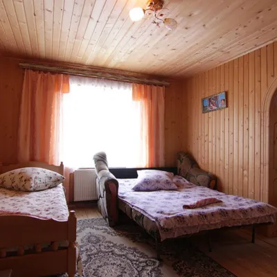 Homestead"U Davidka i Matviika"Osmoloda14 km from Mount PodynyFireplaceKitchenParkingNearby: Mt Studenets 3.8 kmMt Petros Gorgansky 4.6 km5 trails
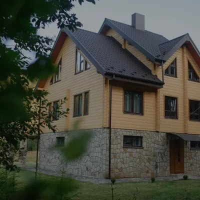 HomesteadHomestead "Albertville" OsmolodaOsmoloda14 km from Mount PodynyFireplaceKitchenParkingNearby: Mt Studenets 4.0 kmMt Petros Gorgansky 4.8 km5 trails
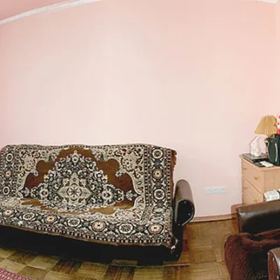 HomesteadHomestead "Faini Karpaty" OsmolodaOsmoloda14 km from Mount PodynySaunaBBQKitchenNearby: Mt Studenets 3.8 kmMt Petros Gorgansky 4.6 km5 trails
Trails nearby
All trails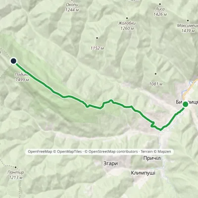 ModerateOne-dayMarkedBystrytsia village Tavpyshyrka ridgeElevation profile737–1 499 m10.5 kmascent 762 m≈ 4 h walkingunder 1 km from Mount Podyny
 HardTwo-dayBystrytsia village to Mount Velyka Syvuliavia Mount TavpyshElevation profile737–1 836 m20.1 kmascent 1 642 m≈ 8.5 h walkingunder 1 km from Mount Podyny
 HardMulti-dayStara Huta village to Polianytsia villagevia Mount Syvulia, Legioniv Pass +4Elevation profile706–1 836 m67.5 kmascent 3 807 munder 1 km from Mount Podyny
Nearby attractions
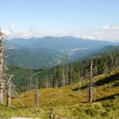 PeakMount TavpyshBystrytsiaaltitude 1 450 m · Gorgany range3 km from Mount PodynyTavpysh is a 1,450 m summit of the Tavpyshyrka ridge in the central Gorgany, in the Nadvirna district of Ivano-Frankivsk Oblast.
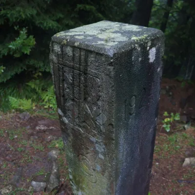 PeakMount PantyrBystrytsiaaltitude 1 213 m · Gorgany range4.6 km from Mount PodynyPantyr is a mountain in the south-eastern Gorgany, on the border of the Nadvirna district (Ivano-Frankivsk Oblast) and the Tiachiv district (Zakarpattia Oblast).
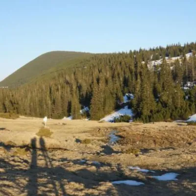 Mountain meadowPolonyna RuschynaOsmolodaaltitude 1 409 m6.4 km from Mount PodynyRuschyna meadow is famous for its panoramic views of the mountains that surround it from all sides and the diversity of flora and fauna.
Craft nearby
All craft places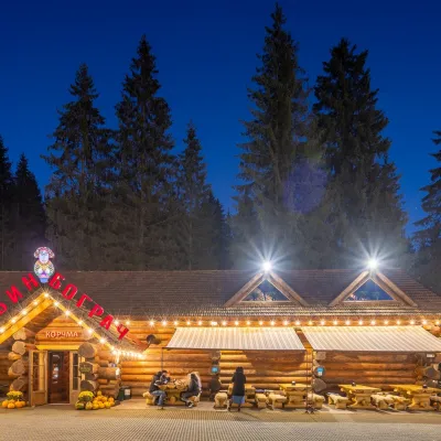 Koliby & Hutsul cuisineBabyn Bograch Tavern, Polianytsia (Bukovel)Polianytsia (Bukovel)22 km from Mount PodynyBabyn Bograch tavern ("Grandma's Bograch") is located inside the Hutsul Land ethno park in Polianytsia, at the Bukovel resort, behind the Lake of Youth.
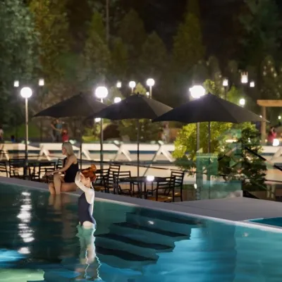 Water parks & thermal poolsMAVKA water park, BukovelPolianytsia (Bukovel)22 km from Mount PodynyMAVKA water park is Bukovel's largest indoor water park and one of the most modern in Ukraine. It opened in early 2025 in the Shchyvky area, near Lake Molodosti and...
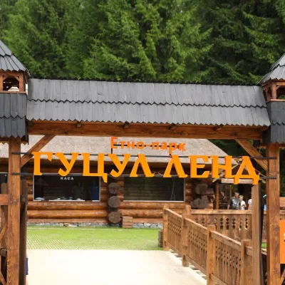 Ethno parks & homesteadsHutsul Land Ethno Park, PolianytsiaPolianytsia (Bukovel)22 km from Mount PodynyHutsul Land Ethno Park is a space at the Bukovel resort where the old ways of the Hutsuls, Boikos and Lemkos are shown not behind glass but in living form.
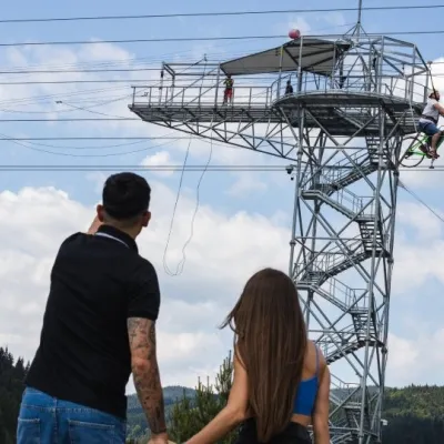 Adventures & attractionsAdrenaline Tower (rope jump), BukovelPolianytsia (Bukovel)23 km from Mount PodynyThe Adrenaline Tower is a steel tower on the shore of Lake Molodosti in Bukovel from which people take a free-fall rope jump, and the hub of several high-altitude...
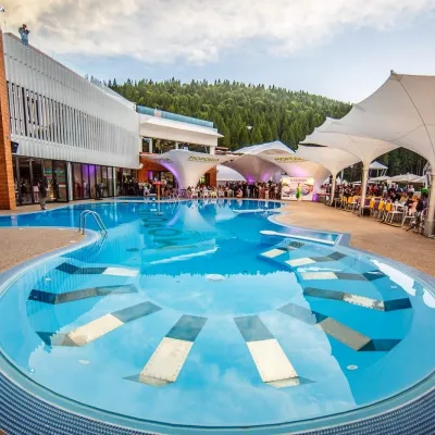 Water parks & thermal poolsVODA club spa and beach club, BukovelPolianytsia (Bukovel)23 km from Mount PodynyVODA club is a large all-season pool, spa and beach club complex on the shore of Lake Molodosti in Bukovel (Polianytsia village).
 Markets & fairsBukovel Souvenir Market, PolianytsiaPolianytsia (Bukovel)24 km from Mount PodynyBukovel's souvenir market is a row of shops and stalls right in the centre of Ukraine's largest ski resort, on the territory of Polianytsia village.
