Tatariv village — to Myslivka village, via Mount Syniak, Mount Dovbushanka, Mount Chorna Kleva, Mount Bratkivska, Mount Syvulia, Mount Kinets Horhanu, Mount Popadia, Mount Grofa
Unmarked trailmore
It may be partly marked. Unmarked trails have no information boards, signposts or auxiliary signs (water, campsite, etc.). The decision to walk the trail is entirely your own responsibility.
Trail map
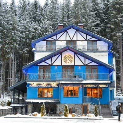
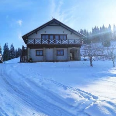
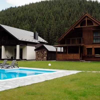
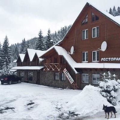
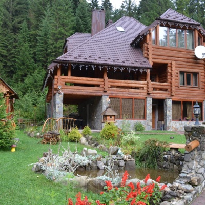
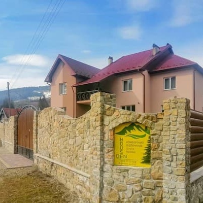
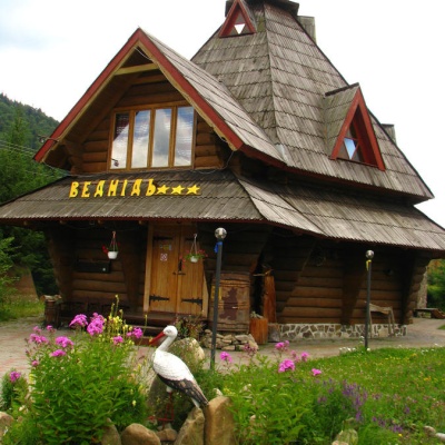
Where to stay nearby
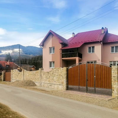
About the trail
Route Tatariv village, via Mount Syniak, Mount Dovbushanka, Mount Chorna Kleva, Mount Bratkivska, Mount Syvulia, Mount Kinets Horhanu, Mount Popadia and Mount Grofa to Myslivka village. Along the route you will see: Mount Khomiak, Polonyna Khomyakov, Mount Sinyak, Mount Maly Gorgan, Dovbushanka Mountain, Mount Vedmezhik and 23 more.
At a glance
A multi-day route of 171.1 km with 9,973 m of ascent from Tatariv village to Myslivka village. Estimated time: 8 days of 5–10 h of walking (about 59.5 h in total, not counting stops). Difficulty: hard. Waymarking is missing or partial.
Route stages
- 0–171 kmGentle ups and downs at 670–1,770 m, past Mount Bratkivska, Mount Hropa, Mount Mala Sivulya, Mount Velyka Sivulya
Steepest kilometre: km 135–136, a descent of 390 m (≈36%), near Hut below Mount Kin-Hrofetskyi.
Water and overnight stays
Springs near the trail: at km 1, 2, 4, 5, 11, 16, 34, 36, 38 and 40 etc.. There are no springs between km 16 and 34 — carry at least 3.5 l of water. Some springs run low or dry up in late summer.
Huts and shelters near the trail: Mountain shelter on Polonyna Khomiakiv (3) (km 4), Mountain shelter on Polonyna Khomiakiv (km 4), Mountain shelter on Polonyna Khomiakiv (2) (km 4), Mountain shelter on Polonyna Khomiakiv (km 4), Mountain shelter on Polonyna Blazhniv (km 11), Hut “Koliba” (km 16), Hut on Polonyna Nyzhnia (km 16), Loggers' house at Lopushna (km 79) etc.. Places to stay near the start: Polianytsia (Bukovel); near the finish: Myslivka.
A possible split into days:
- Day 1: km 0–16, ≈6 h — overnight: Hut on Polonyna Nyzhnia (hut)
- Day 2: km 16–38, ≈9 h — overnight: no shelter nearby on the map, bring a tent
- Day 3: km 38–62, ≈7.5 h — overnight: no shelter nearby on the map, bring a tent
- Day 4: km 62–79, ≈5.5 h — overnight: Loggers' house at Lopushna (hut)
- Day 5: km 79–106, ≈9.5 h — overnight: no shelter nearby on the map, bring a tent
- Day 6: km 106–128, ≈7.5 h — overnight: no shelter nearby on the map, bring a tent
- Day 7: km 128–148, ≈7.5 h — overnight: no shelter nearby on the map, bring a tent
- Day 8: km 148–171, ≈7.5 h — finish
When to go
Best time: June to September. In winter only for experienced hikers with proper gear: avalanche danger is possible. About 57 km of the route runs above 1,500 m, where the weather changes quickly — check the forecast.
Getting there
Start: Tatariv village. Most places to stay near the start are in Polianytsia (Bukovel). This is a one-way route: the finish is 73 km from the start in a straight line, so plan your way back in advance.
FAQ
- How long does the route take?
- Estimated time: 8 days of 5–10 h of walking (about 59.5 h in total, not counting stops).
- Is there water on the route?
- Springs near the trail: at km 1, 2, 4, 5, 11, 16, 34, 36, 38 and 40 etc.. There are no springs between km 16 and 34 — carry at least 3.5 l of water. Some springs run low or dry up in late summer.
- Where can I stay overnight?
- Huts and shelters near the trail: Mountain shelter on Polonyna Khomiakiv (3) (km 4), Mountain shelter on Polonyna Khomiakiv (km 4), Mountain shelter on Polonyna Khomiakiv (2) (km 4), Mountain shelter on Polonyna Khomiakiv (km 4), Mountain shelter on Polonyna Blazhniv (km 11), Hut “Koliba” (km 16), Hut on Polonyna Nyzhnia (km 16), Loggers' house at Lopushna (km 79) etc.. Places to stay near the start: Polianytsia (Bukovel); near the finish: Myslivka. Possible overnight stops: Hut on Polonyna Nyzhnia (km 16), Loggers' house at Lopushna (km 79).
Water and shelter on the route
- Spring below Mount Khomiak (8)km 0.6 from the start · 50 m off the path · Not verified · 879 m
- Spring below Mount Khomiak (10)km 1.3 from the start · Not verified · 978 m
- Spring below Mount Khomiak (7)km 2.1 from the start · Not verified · 1 184 m
- Spring on Polonyna Khomiakiv (2)km 3.5 from the start · 220 m off the path · Not verified · 1 336 m
- Mountain shelter on Polonyna Khomiakiv (3)km 3.8 from the start · Not verified · 1 325 m
- Mountain shelter on Polonyna Khomiakivkm 3.8 from the start · Standing · 1 324 m
- Mountain shelter on Polonyna Khomiakiv (2)km 3.9 from the start · 130 m off the path · Not verified · 1 312 m
- Mountain shelter on Polonyna Khomiakivkm 3.9 from the start · 150 m off the path · Not verified · 1 301 m
- Spring on Polonyna Khomiakivkm 4.9 from the start · 190 m off the path · Not verified · 1 323 m
- Spring below Mount Khomiakkm 5.4 from the start · 80 m off the path · Not verified · 1 410 m
- Spring on Polonyna Blazhiv (4)km 10.4 from the start · 90 m off the path · Dried up · 1 293 m
- Mountain shelter on Polonyna Blazhnivkm 10.4 from the start · 110 m off the path · Not verified · 1 290 m
- Hut “Koliba”km 14.6 from the start · Not verified · 1 095 m
- Spring (Polianytsia (Bukovel), 5)km 14.7 from the start · 50 m off the path · Not verified · 1 087 m
- Hut on Polonyna Nyzhniakm 14.8 from the start · 140 m off the path · Not verified · 1 124 m
- Spring below Mount Chorna Kleva (5)km 31 from the start · 120 m off the path · Not verified · 1 133 m
- Spring below Mount Chorna Kleva (3)km 31.8 from the start · Not verified · 1 317 m
- Drinking water below Mount Chorna Kleva (2)km 33.2 from the start · 230 m off the path · Not verified · 1 635 m
- Spring below Mount Ruska (2)km 34.7 from the start · 100 m off the path · Not verified · 1 464 m
- Stream water below Mount Ruskakm 37.2 from the start · 80 m off the path · Not verified · 1 552 m
- Spring below Mount Bratkivska (5)km 38.2 from the start · 220 m off the path · Not verified · 1 642 m
- Spring below Mount Durniakm 44.4 from the start · 230 m off the path · Not verified · 1 531 m
- Spring (Bystrytsia, 3)km 46.9 from the start · 40 m off the path · Not verified · 1 226 m
- Spring (Bystrytsia, 4)km 49.1 from the start · 50 m off the path · Not verified · 1 126 m
- Spring (Bystrytsia, 2)km 50.6 from the start · Weak flow · 1 144 m
- Spring (Bystrytsia)km 53 from the start · Not verified · 1 094 m
- Spring (Osmoloda, 22)km 58.4 from the start · 170 m off the path · Not verified · 1 365 m
- Spring (Osmoloda, 24)km 59.1 from the start · 250 m off the path · Weak flow · 1 297 m
- Spring (Osmoloda, 26)km 60.6 from the start · 150 m off the path · Not verified · 1 203 m
- Spring on Polonyna Rushchyna (7)km 62.8 from the start · 150 m off the path · Not verified · 1 396 m
- Spring below Mount Borevka (4)km 69.1 from the start · 180 m off the path · Not verified · 1 384 m
- Spring below Mount Borevka (3)km 69.6 from the start · Not verified · 1 351 m
- Spring below Mount Borevka (2)km 70.3 from the start · 190 m off the path · Not verified · 1 202 m
- Spring (Osmoloda, 20)km 71.9 from the start · 170 m off the path · Not verified · 995 m
- Loggers' house at Lopushnakm 72.7 from the start · 60 m off the path · Standing · 851 m
- Spring (Osmoloda, 19)km 72.7 from the start · 100 m off the path · Not verified · 875 m
- Spring below Mount Velyka Syvuliakm 80.1 from the start · 60 m off the path · Not verified · 1 498 m
- Spring on Polonyna Rushchynakm 81.6 from the start · Not verified · 1 443 m
- Spring below Mount Kinets Horhanu (2)km 86.7 from the start · 100 m off the path · Not verified · 1 333 m
- Spring (Osmoloda, 14)km 91.9 from the start · 80 m off the path · Not verified · 1 258 m
- Spring (Osmoloda, 5)km 96.5 from the start · 50 m off the path · Not verified · 1 233 m
- Spring below Mount Bertkm 99.9 from the start · Weak flow · 1 537 m
- Hut below Mount Bushtulkm 105.8 from the start · 150 m off the path · Not verified · 1 434 m
- Spring below Mount Bushtulkm 105.8 from the start · 190 m off the path · Not verified · 1 432 m
- Spring (Osmoloda)km 108.9 from the start · 40 m off the path · Not verified · 1 165 m
- Spring below Mount Koretvynakm 113.9 from the start · 130 m off the path · Not verified · 1 227 m
- Spring below Mount Parenkykm 122.9 from the start · 200 m off the path · Weak flow · 1 407 m
- Spring below Mount Kin-Hrofetskyi (2)km 126 from the start · 40 m off the path · Not verified · 1 285 m
- Hut below Mount Kin-Hrofetskyikm 126 from the start · 130 m off the path · Standing · 1 286 m
- Drinking water below Mount Kin-Hrofetskyikm 126.5 from the start · Not verified · 1 133 m
- Drinking water below Mount Yaiko-Perehinske (3)km 130.4 from the start · 150 m off the path · Not verified · 1 140 m
- Spring below Mount Moloda (6)km 131.9 from the start · 200 m off the path · Not verified · 1 475 m
- Drinking water below Mount Moloda (2)km 135.7 from the start · 240 m off the path · Not verified · 1 369 m
- Spring below Mount Moloda (3)km 137.7 from the start · 220 m off the path · Not verified · 1 440 m
- Spring below Mount Yaiko-Ilemske (2)km 141.4 from the start · 210 m off the path · Not verified · 1 531 m
- Spring below Mount Yaiko-Ilemskekm 144.1 from the start · Not verified · 1 447 m
- Drinking water “Trubka”km 145.2 from the start · 80 m off the path · Not verified · 1 179 m
- Drinking water below Mount Horhan-Ilemskyikm 146.8 from the start · 180 m off the path · Not verified · 1 250 m
- Spring below Mount Horhan-Ilemskyi (4)km 150 from the start · 210 m off the path · Weak flow · 1 246 m
- Spring below Mount Horhan-Ilemskyi (2)km 150.6 from the start · Not verified · 1 169 m
- Spring (Myslivka, 4)km 155.8 from the start · 80 m off the path · Not verified · 967 m
Comments
What to see on the trail
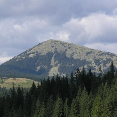 Mount Khomiakaltitude 1 542 mKhomyak is a 1542-meter-high peak of the Gorgan mountain range. Rumor has it that the mountain was named so because its shape resembles the back of...
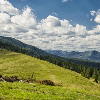 Polonyna Khomyakovaltitude 1 525 mA large sloping meadow on the northern slopes of the Sinyaka-Homiak ridge. From here, there are trails to the valley of the Zhenets stream (a long...
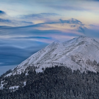 Mount Sinyakaltitude 1 665 mMount Sinyak, 1665 meters high, is one of the peaks of the Gorgan massif of the Ukrainian Carpathians, located in the Nadvirna district of Ivano...
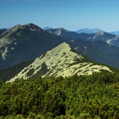 Mount Maly Gorganaltitude 1 592 mSmall Gorgan, with a height of 1592 meters, is a peak of the Ukrainian Carpathians that is quite famous among outdoor enthusiasts, located on the...
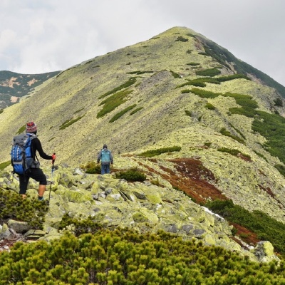 Dovbushanka Mountainaltitude 1 754 mMount Dovbushanka is a 1,754-meter peak of the Ukrainian Carpathians, located in the Gorgan mountain range on the ridge of the same name.
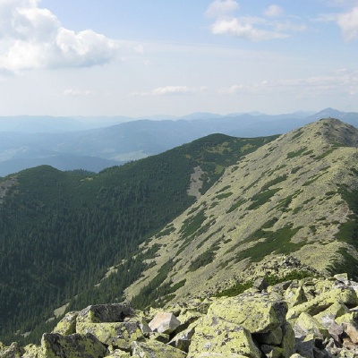 Mount Vedmezhikaltitude 1 737 mMount Vedmezhyk is a massive 1,737-meter peak of the Ukrainian Carpathians, located on the Dovbushansky ridge of the Horhan mountain range.
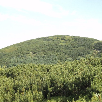 Mount Chorna Klevaaltitude 1 719 mMount Chorna Kleva (also called Chorna Klyva on some tourist maps) is a peak of the Ukrainian Carpathians, located on the Bratkivsky ridge of the...
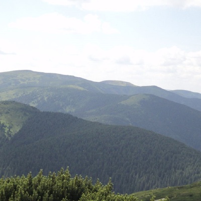 Mount Ruskaaltitude 1 678 mRuska is a 1,678-meter peak (according to other sources, the height of the mountain is 1,650 meters) located in the Gorgan mountain range of the...
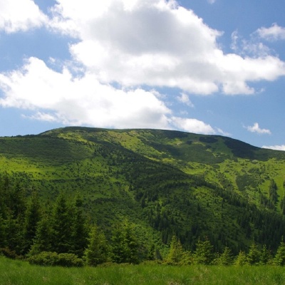 Mount Bratkivskaaltitude 1 788 mMount Bratkivska is a peak in the Ukrainian Carpathians, 1788 m high (some sources give other data - 1792 m).
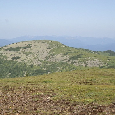 Mount Hropaaltitude 1 759 mMount Gropa (height - 1759 m (according to other sources - 1763 m)) is a peak in the Ukrainian Carpathians, located on the Bratkivsky ridge of the...
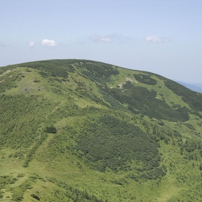 Mount Durniaaltitude 1 704 mMount Durnia is a 1704-meter (according to other sources, 1709-meter) peak of the Ukrainian Carpathians of the Horhan mountain range, located on...
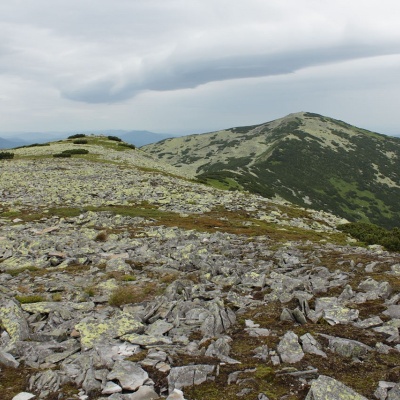 Mount Mala Sivulyaaltitude 1 815 mMount Mala Syvulya, 1815 meters high, is located next to the Velyka Syvulya on the Syvulyansky ridge.
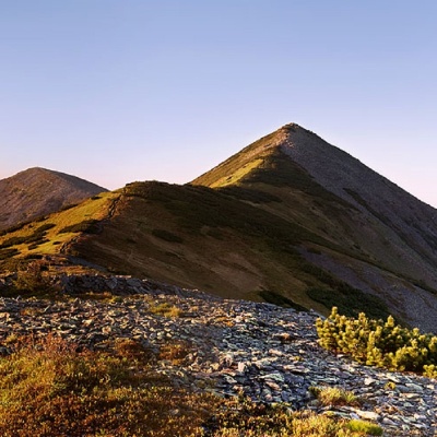 Mount Velyka Sivulyaaltitude 1 836 mMount Velyka Syvulia (or simply - Syvulia) is the highest peak of the Horhan massif. Syvulya is located on the ridge of the same name, which...
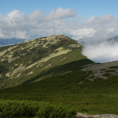 Mount Lopushnaaltitude 1 694 mMount Lopushna is a 1,694-meter peak in the Ukrainian Carpathians. It is located within the Gorgany mountain range on the border of two districts...
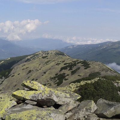 Mount Borevkaaltitude 1 596 mMount Borevka is a 1,596-meter peak of the Ukrainian Carpathians, located in the northeastern part of the Syvulianskyi ridge of the Horhanskyi...
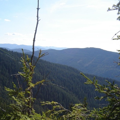 Mount Kinets Horhanualtitude 1 580 mThe End of Horgan is a 1599-meter mountain of the Ukrainian Carpathians, which is located on the Horgan Ridge (its highest peak) in the Central...
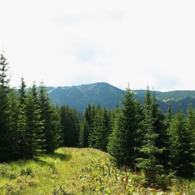 Mount Bertaltitude 1 666 mMount Bert is a peak in the Ukrainian Carpathians, which is located on the territory of the Pryvododilni Gorgany.
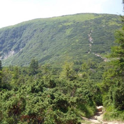 Mount Bushtulaltitude 1 691 mBushtul is a 1,691-meter-high mountain in the Ukrainian Carpathians, located in the Gorgan mountain range (Inner (Subsidiary) Gorgan Mountains ) on...
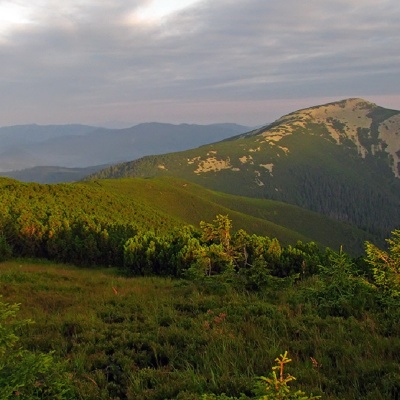 Mount Velyka Popadiaaltitude 1 740 mMount Popadia (also known as Velyka Popadia) is located in the watershed of the upper reaches of two rivers, the Teresva and the Limnytsia, on the...
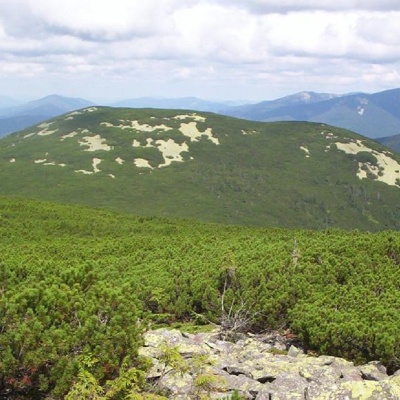 Mount Mala Popadiaaltitude 1 597 mMount Mala Popadia is the peak of the Ukrainian Carpathians, located in the Gorgan mountain range.
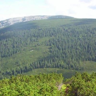 Mount Koretvinaaltitude 1 671 mMount Koretvina (also known as Korytvina) is a peak of the Ukrainian Carpathians, part of the western part of the Gorgan mountain range.
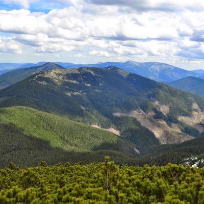 Parenki Mountainaltitude 1 735 mMount Parenky is a popular peak in the Ukrainian Carpathians. It is located in the Gorgan mountain range on the Parenky ridge of the same name in...
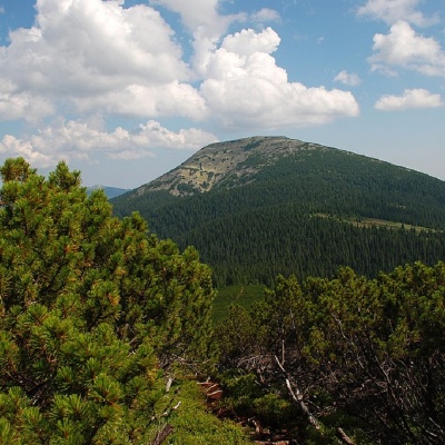 Mount Grofaaltitude 1 748 mMount Hrofa (height - 1748 m) is a well-known peak among lovers of the Ukrainian Carpathians, located in the Gorgan Mountains within the landscape...
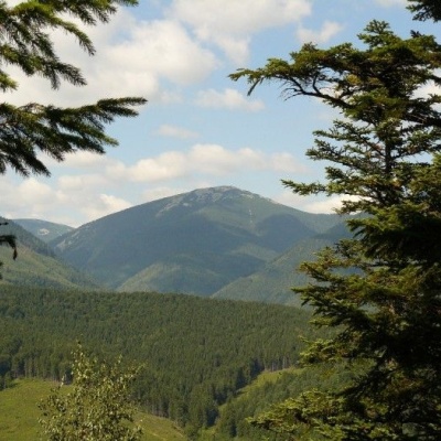 Grofa landscape reservealtitude 901 mIf there is a river on the reserve's territory that is considered one of the cleanest in Europe, it says a lot about the area.
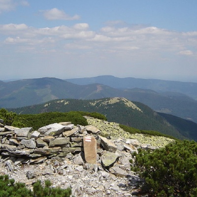 Mount Kin Grofetskyaltitude 1 552 mMount Kin Grofetskyi is a 1,552-meter peak of the Ukrainian Carpathians. It is located in the western part of the Gorgan mountain range in the...
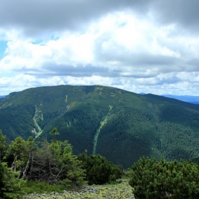 Mount Molodaaltitude 1 723 mMount Moloda is the peak of the Ukrainian Carpathians, which lies within the Horhan mountain range in the Ivano-Frankivsk region (the main area of...
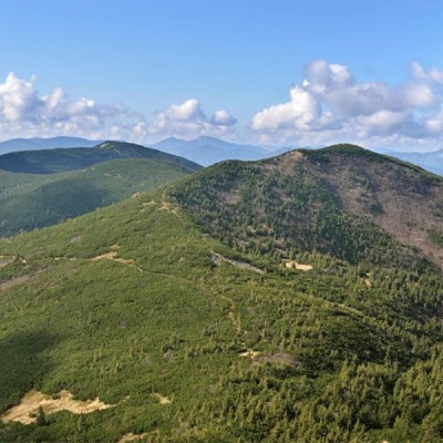 Mount Yayko-Pereginskealtitude 1 595 mYayko-Perehinske (the mountain got its name because of its characteristic shape, which resembles an egg from a distance) is a mountain peak in the...
 Mount Yayko-Ilemskealtitude 1 680 mMount Yayko-Ilemske is the peak of the Ukrainian Carpathians, located in the western part of the Gorgan mountain range.
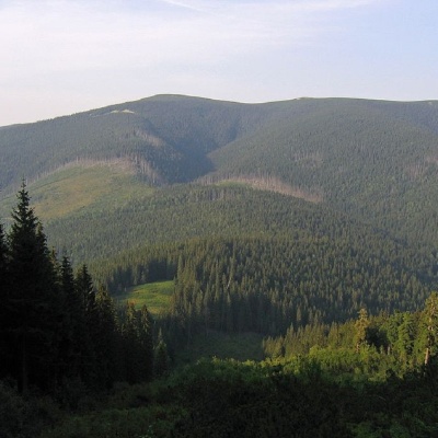 Mount Gorgan-Ilemskyaltitude 1 587 mMount Gorgan-Ilemsky is the peak of the Ukrainian Carpathians, located on the Arshytsia ridge of the Gorgan mountain range.
Trails nearby
All trails HardMulti-dayMarkedEast Carpathian Tourist TrailElevation profile635–1 819 m278.1 kmascent 14 105 m
 ModerateOne-dayUnmarkedTatariv village loopvia Mount KhomiakElevation profile765–1 472 m10.2 kmascent 699 m≈ 4 h walking
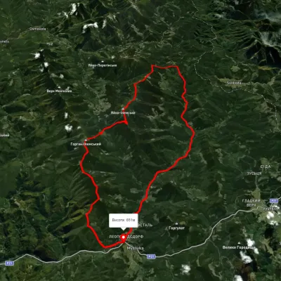 HardMulti-dayUnmarkedMyslivka village loopvia Mount Yayko-Ilemske, Mount Horhan-IlemskyiElevation profile648–1 656 m47.2 kmascent 2 092 m