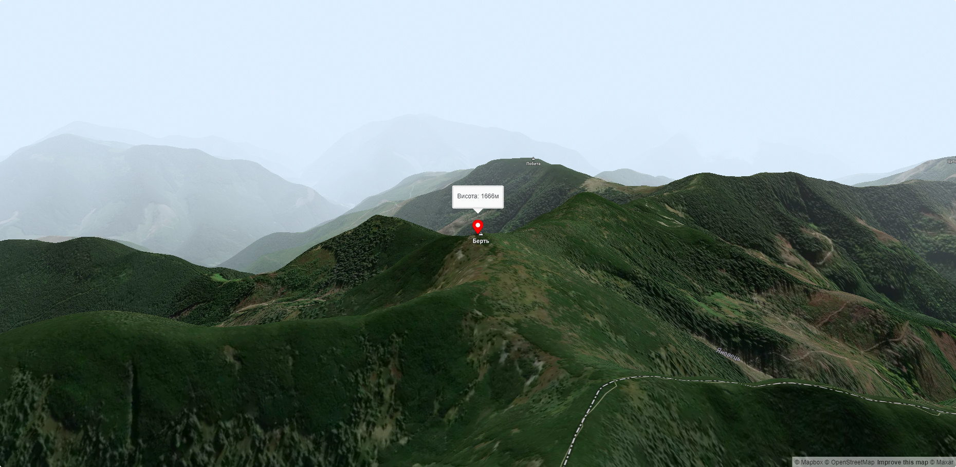
Mount Bert
Mount Bert is a peak in the Ukrainian Carpathians, which is located on the territory of the Pryvododilni Gorgany. It is located in the northern part of the Tyachiv district of Zakarpattia region.
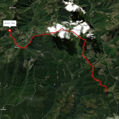
The height is 1666 meters.
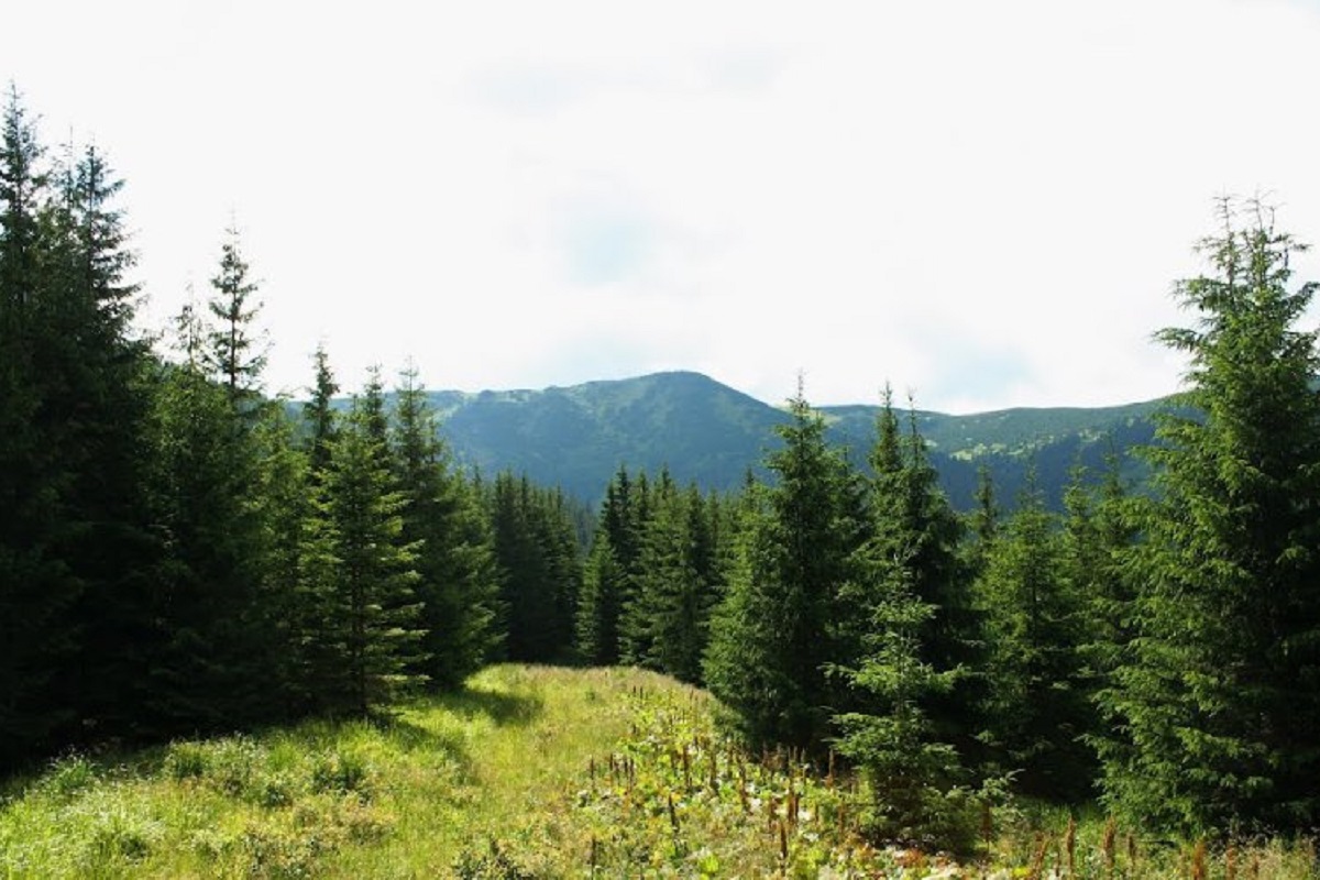
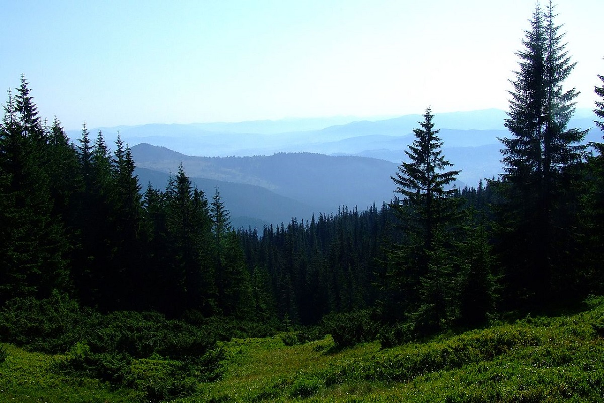
The summit and summit part of the mountain up to 1300-1400 meters is covered with stone placers, scree and alpine pine thickets (fir), below this mark - with ancient forests.
The slopes of the mountain are very steep to the east and southwest; to the south of the summit, an unforested gentle ridge stretches for several kilometers.
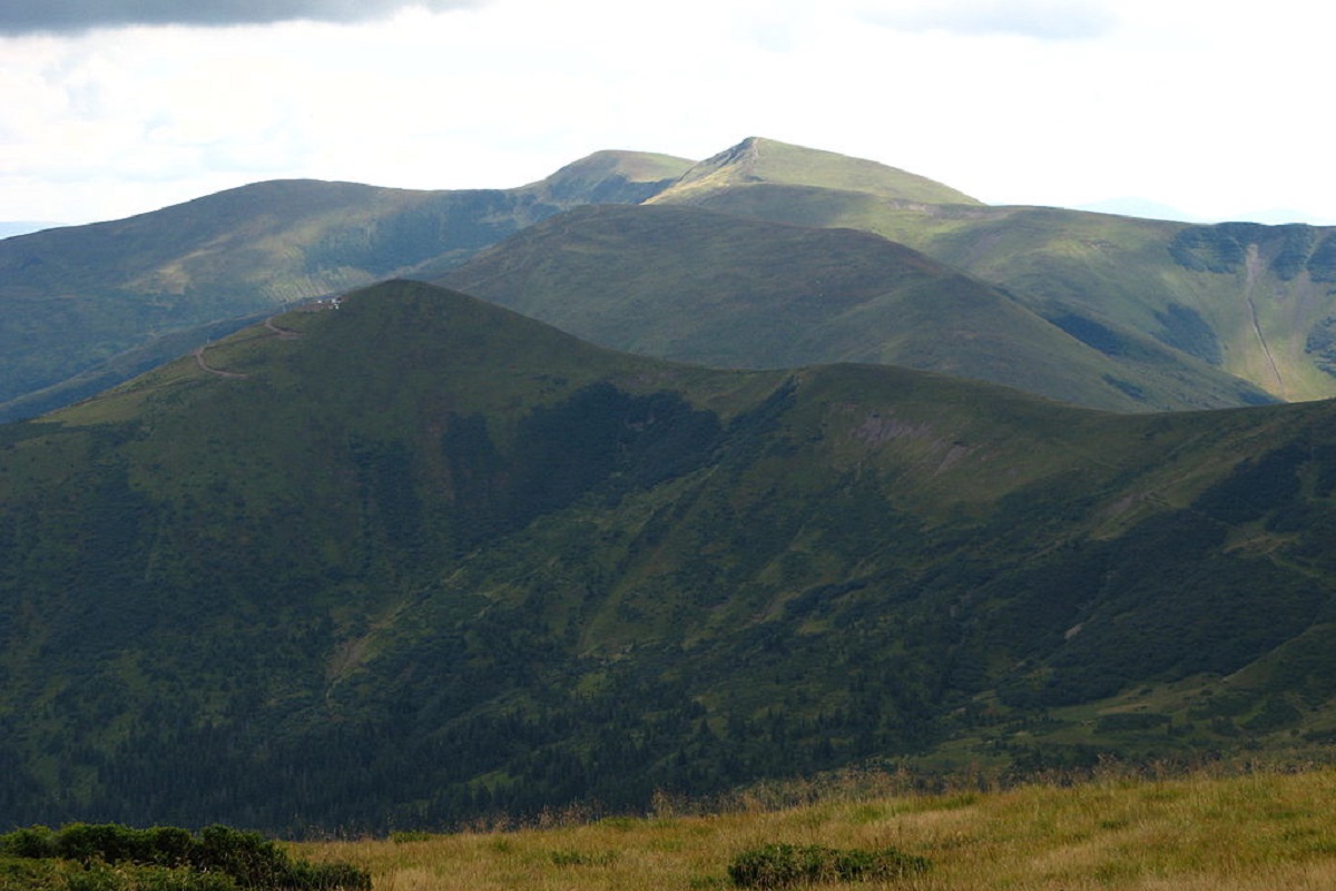
From the very top you can enjoy a wonderful view of the surrounding mountains: in the southeast direction you can see the Svydovets mountain range, in the southwest - Mt. Krasna, in the northeast - the mountain. Syvulia with its highest peak Syvulia, and the Popadia-Hrofa mountain range to the northwest.
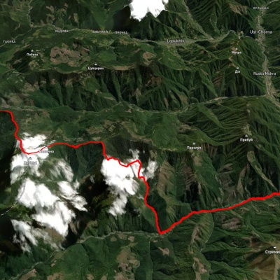
The nearest settlement is the village of Lopukhiv, Tyachiv district, Zakarpattia region.
Accommodation around Mount Bert:


Nearby hiking trails near Mount Bert:

Які маршрути проходять повз Mount Bert?
Пропонуємо пройти такі туристичні (пішохідні) маршрути через/біля Mount Bert: хр. Дарів, через г. Буштул до г. Берть, с. Татарів, через г. Синяк, г. Довбушанка, г. Чорна Клева, г. Братківська, г. Сивуля, г. Кінець Горгану, г. Попадя, г. Грофа до с. Мислівка, хр. Берть, через г. Буштул до с. Німецька Мокра, м. Рахів, через г. Близниця, г. Трояска, г. Братківська до с. Осмолода, пол.Рущина - Усть-Чорна, с. Лопухів, через пер. Легіонів, ур. Пекло, г. Сивуля, г. Попадя, через с. Німецька Мокра до с. Усть-Чорна