Mount Moloda
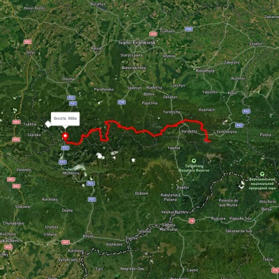
Mount Moloda is the peak of the Ukrainian Carpathians, which lies within the Horhan mountain range in the Ivano-Frankivsk region (the main area of the mountain is located in the Rozhniativ district, partially in the Dolyna district), to the west of the village of Osmoloda.
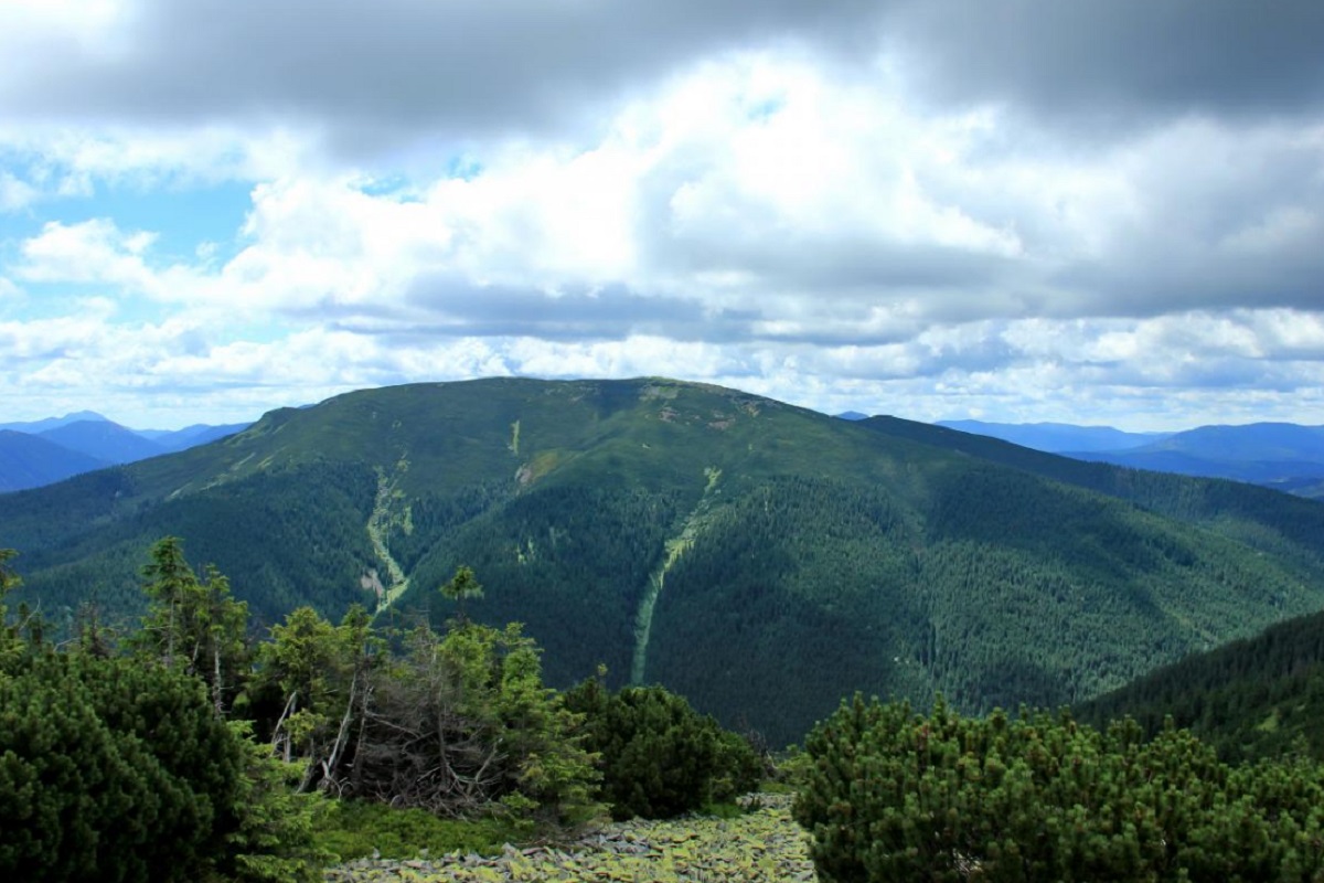
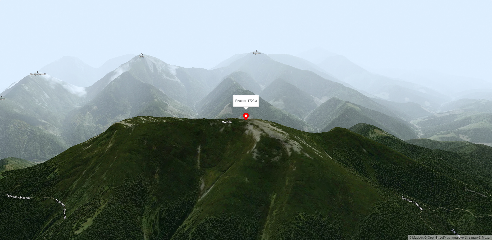
By the way, it is believed that the name of the village of Osmoloda comes from Mount Moloda, or to be more precise, from the phrase "Here is Moloda." The height of the mountain is 1723 meters.
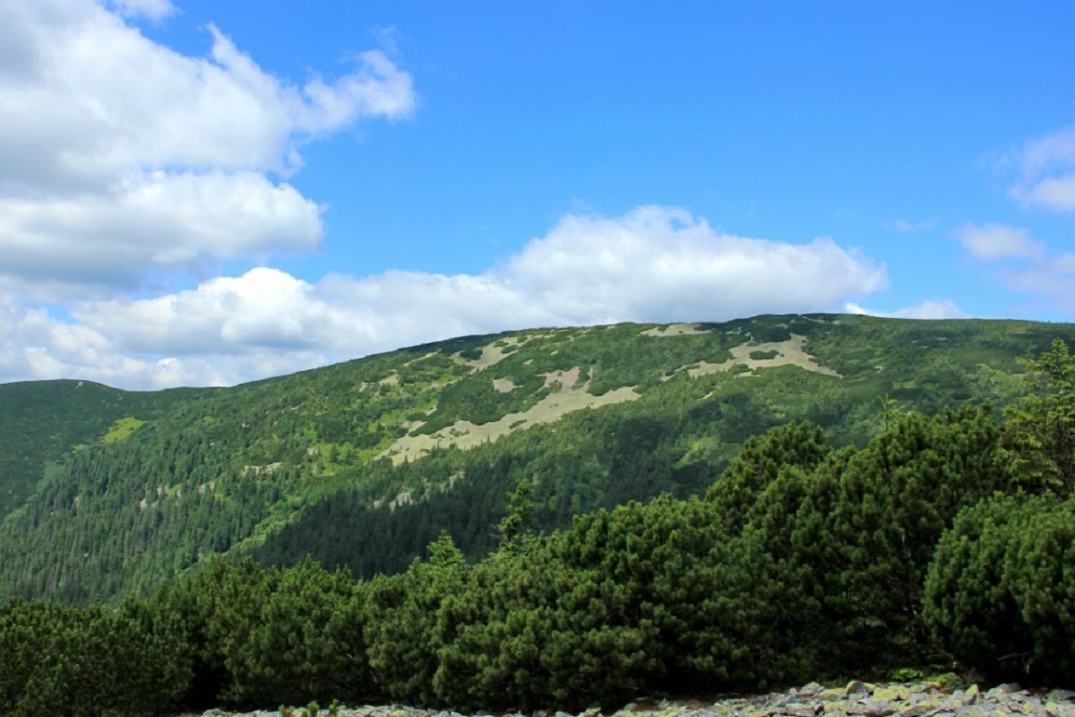
The slopes of the peak are very steep and impassable, especially in the northwestern and southeastern directions. The peak itself and its summit slopes are covered with characteristic yellow-green Gorgan stone placers and a crooked forest of alpine pine - zherep.
To the northeast of Mount Moloda is Mount Yayko-Perehinske, and to the southeast is Mount Grofa.
The nearest settlement is the village of Osmoloda.
Accommodation around Mount Moloda:


Nearby hiking trails near Mount Moloda:
Які маршрути проходять повз Mount Moloda?
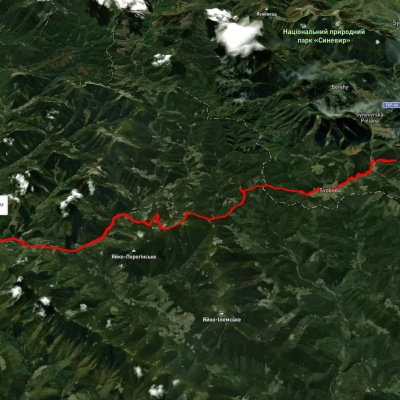
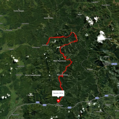
Пропонуємо пройти такі туристичні (пішохідні) маршрути через/біля Mount Moloda: Східно-Карпатський туристичний шлях, оз. Синевир, через с. Свобода, пол. Гича, г. Молода до с. Осмолода, с. Осмолода, через г. Попадя, г. Коретвина, г. Грофа, г. Молода, г. Яйко-Ілемське до с. Мислівка, с. Татарів, через г. Синяк, г. Довбушанка, г. Чорна Клева, г. Братківська, г. Сивуля, г. Кінець Горгану, г. Попадя, г. Грофа до с. Мислівка, с. Мислівка, через г. Яйко-Ілімеське, г. Молода, г. Грофа, г. Попадя до с. Осмолода, с. Мислівка, через хр. Аршиця, г. Молода, г. Яйко-Ілемське до с. Мислівка