Osmoloda
Kalush district · Ivano-Frankivsk region
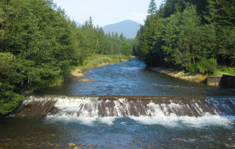
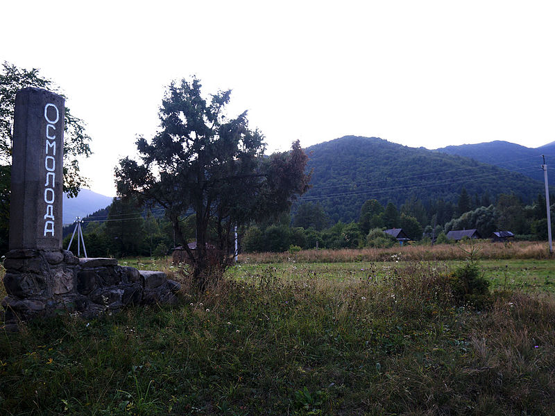
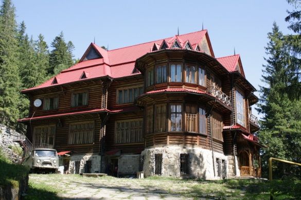
Osmoloda is the southernmost village in the Rozhniativ district of Ivano-Frankivsk region. It is located in the Gorgany massif. In the village's suburbs, the Bystryk and Petros rivers flow into the Limnytsia. It was here that the metropolitan's summer residence-resort with the Cedar Chamber was founded (early 20th century). It could be reached by the narrow-gauge Broshniv-Osmoloda railroad.
The official date of foundation is 1873. The population is about 60 people. There is not even an elementary school in the village, although there were more children in the Soviet times and the elementary school was functioning. The village of Osmoloda is an ancient settlement of woodcutters, located in the highland valley of the Limnytsia River. The name comes from Mount Moloda ("Here is Moloda"), not far from which the village is located. The small number of residents (about 60 people) is due to the village's location (practically the end of the road) and the migration of locals abroad. The Rozhniativ district of Ivano-Frankivsk region, to which Osmoloda belongs, is generally the birthplace of Ukrainian emigration. In 1891, residents I. Nebylov, Pylypiv, and V. Ilynyak left their native village in search of a better life and went to Canada, marking the beginning of a flow of thousands of people seeking a better life. The villagers erected a monument to their fellow countrymen.
The Moloda River flows through Osmoloda, which in the 1980s was considered the cleanest river in Europe. Just downstream of the river is the Pidliute tract, where there is a villa called the Cedar Chamber, built in the early 20th century. It is known as a resort and summer residence of Metropolitan Andrey Sheptytsky. The surrounding lands have long belonged to the Lviv Metropolia of the UGCC and were a place of rest and treatment for Lviv metropolitans, due to the abundance of natural mineral springs rich in hydrogen sulfide. On August 12, 1934, on a Sunday, the cedar reserve was inaugurated, attended by Metropolitan Andrey Sheptytsky, scholars, and numerous guests. A month later, on September 20, 1934, by the decision of the Stanislaviv voivode, the area of European pine in Gorgany was legally recognized as a reserve. A number of objects covering an area of 18 km² were allocated and proposed as reserves: fir, spruce, sycamore, pine, beech, the Stavky tract, which united three high-mountain ponds, separate peat bogs and rock reserves, and the Pidliute tract ("Zhyvets," "Pidliute," and "Palata").
You can see the "Cedar Chamber" on the way to the village, it is clearly visible to the right of the road. On the territory, you can take mineral water directly from the spring.
Now the residence has turned into a monastery of the Basilian Fathers. In Osmoloda itself, there were tartaki (sawmills) that were the property of the metropolis. 10 km from Osmoloda, in the Angeliv tract, there is the Angeliv blast furnace of 1810, built by Anton Angelovych, who contributed to the creation of an ironworks here: a blast furnace, 12 mines for ore extraction, 2 hamarni (iron processing factories), and a forge for the production of nails were built. The complex operated for only 6 years and was heavily damaged during the First World War. It is not difficult to find this industrial architecture monument - you need to stop at the information board about the blast furnace before reaching Osmoloda, then cross the bridge to the other side of the river, then the path on the left will lead you to the furnace.
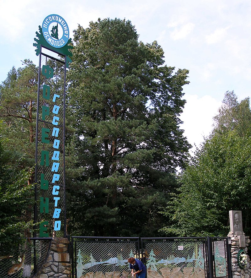
The village has several grocery stores, a worker's dormitory and dining room, a trout farm, and is developing green tourism. Osmoloda is an attractive place for hiking: there is access to the ridges and peaks of Igrovets, Syvul, Popadia, Grofa, and Arshytsi. The trails around Osmoloda are the best cleared and marked. In the Luzhky tract, between the Arshytsia ridge and Mount Kin, Lviv Studite monks partially rebuilt the skete of St. Andrew the First-Called, which was destroyed by the Soviet army during World War II.
List of the main routes:
- Osmoloda village, via Mount Vysoka, Mount Ihorovets, Mount Syvulia to the village of Stara Huta - a distance of 33 km, marked in red;
- Osmoloda village - Fashory ridge (1102 m) - distance 8 km;
- Osmoloda village - Mount Hrofa (1748 m) - distance 22 km, marked in green;
- Osmoloda village - Mount Moloda (1723 m) - distance 30 km, marked in yellow;
- Osmoloda village - Lake Rosokhan - distance 26 km, marked in black;
- Osmoloda village - Horhan ridge - distance 20 km, marked in blue;
- Kuzminets village (neighboring village) - Mount Vysoka (1803 m) - distance 24 km.
Not far from the village there are protected areas: Grofa landscape reserve, Yaykivskyi reserve, Mshana swamp, Liutoshary swamp, Syvulia tract, Lopushna tract, Kotelets tract, Rosokhan Lake natural monument, Limnytsia River landscape reserve.
These places are rarely visited by tourists, due to the poorly developed recreational infrastructure, lack of normal roads, and, accordingly, transportation. But this has its advantages for those who seek a quiet vacation in a quiet place, in nature. The Limnytsia River, a natural monument of national importance, is considered the cleanest river in Europe.
As of July 23, 2014, only Kyivstar has mobile service in the village. In Rozhnyativ district, road workers were repairing the Kalush-Osmoloda highway in an intensive mode to mark the 150th anniversary of the birth of UGCC Metropolitan Andrey Sheptytsky.
- Osmoloda Village Council, 1 Shkilna St. +38 (03474) 2-13-02
- Mountain Search and Rescue Service in the village of Osmoloda +38 (097) 753-74-24, +38 (067) 342-04-98.
What to visit
Landmarks, museums and places of interest near Osmoloda.
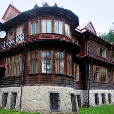 ArchitectureRecreational Complex "Kedrova Palata" (Sheptytskyi's Dacha) OsmolodaOsmolodaunder 1 km from the centre"Kedrova Palata", also known as "Sheptytskyi's Dacha" - a recreational complex in the area of Pidlyutomu (Pidlyute) on the Limnytsia River, which is considered the...
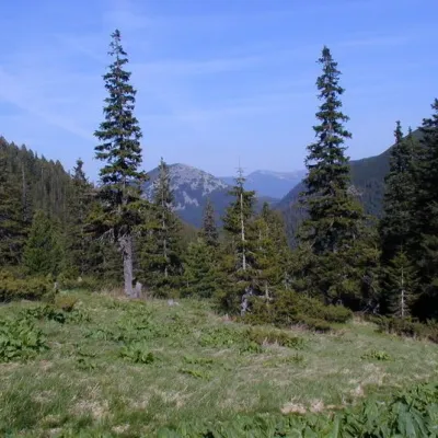 Mountain meadowPolonyna PlisceOsmoloda8 km from the centreThere are many mountain meadows in the Carpathians, but Plitse stands out from the rest. The "feature" of the Plitse meadow is that the first tourist shelter was built...
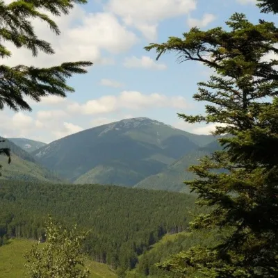 NatureGrofa landscape reserveOsmoloda9.1 km from the centreIf there is a river on the reserve's territory that is considered one of the cleanest in Europe, it says a lot about the area.
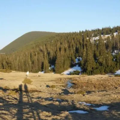 Mountain meadowPolonyna RuschynaOsmolodaaltitude 1 409 m9.2 km from the centreRuschyna meadow is famous for its panoramic views of the mountains that surround it from all sides and the diversity of flora and fauna.
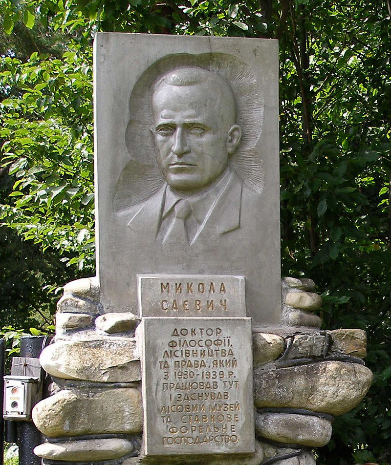
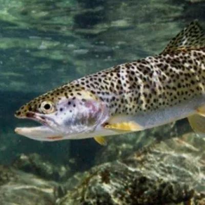 Historic siteTrout farm in OsmolodaOsmoloda11 km from the centreSheptytsky as a steward of the metropolitan forests, founded the Forest Museum and an exemplary trout farm near the village of Osmoloda.
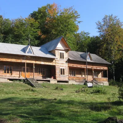 MuseumPlast camp - Sokol museumHrynkiv16 km from the centreThe Sokil Plast Camp-Museum is the oldest and most famous home of Plast, which was dedicated in 1926. The Sokil Plast camp-museum is located on the left bank of the...
Where to stay
Hotels, guesthouses and cottages in and around Osmoloda.
 Homestead"U Davidka i Matviika"Osmolodaunder 1 km from the centreFireplaceKitchenParkingNearby: Mt Studenets 3.8 kmMt Petros Gorgansky 4.6 km2 trails
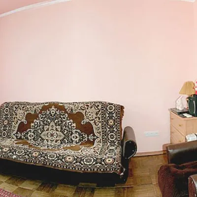 HomesteadHomestead "Faini Karpaty" OsmolodaOsmolodaunder 1 km from the centreSaunaBBQKitchenNearby: Mt Studenets 3.8 kmMt Petros Gorgansky 4.6 km2 trails
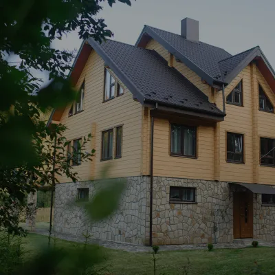 HomesteadHomestead "Albertville" OsmolodaOsmolodaunder 1 km from the centreFireplaceKitchenParkingNearby: Mt Studenets 4.0 kmMt Petros Gorgansky 4.8 km2 trails
Trails nearby
All trails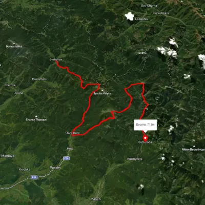 HardMulti-dayUnmarkedBystrytsia village to Kuzmynets villagevia Mount Boiaryn, Mount Syvulia +4Elevation profile661–1 788 m67.6 kmascent 6 302 munder 1 km from the centre
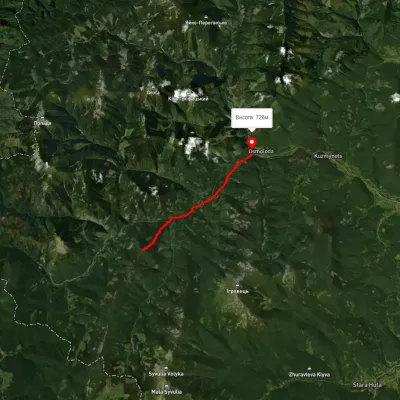 EasyOne-dayMarkedOsmoloda Mount GorganElevation profile716–1 557 m9.6 kmascent 232 m≈ 3 h walking2.1 km from the centre
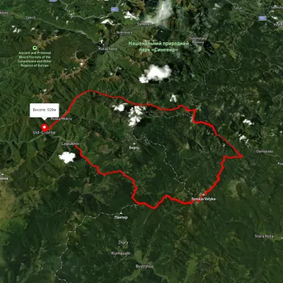 HardMulti-dayUnmarkedLopukhiv village to Ust-Chorna villagevia Legioniv Pass, Peklo tract +3Elevation profile522–1 809 m94.1 kmascent 3 095 m3.1 km from the centre
Peaks nearby
All peaks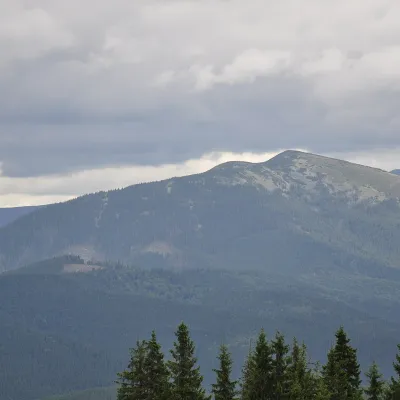 PeakMount OvulOsmolodaaltitude 1 609 m · Gorgany range2.8 km from the centreOvul is a 1,609 m mountain, the highest point of the Verkhnii Dariv ridge in the Western Gorgany. It lies in the Kalush (formerly Rozhniativ) district of Ivano...
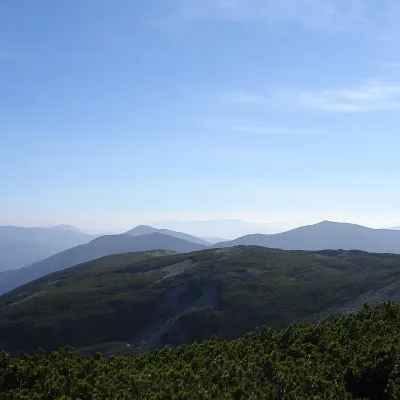 PeakMount StudenetsOsmolodaaltitude 1 671 m · Gorgany range3.8 km from the centre1 trail to the topMount Studenets (also known as Studinets, Studynets) is a 1671-meter peak of the Ukrainian Carpathians, located within the Horhan mountain range and is located in the...
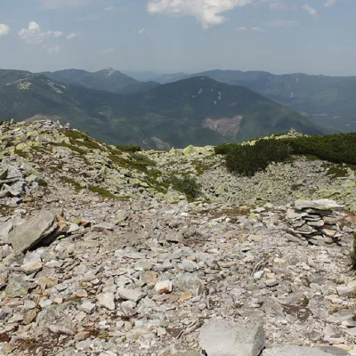 PeakMount Petros GorganskyOsmolodaaltitude 1 702 m · Gorgany range4.6 km from the centre8 trails to the topPetros Horhanskyi is a 1702 m high mountain (the Polish map of 1935 shows different information - 1708 m) in the central part of the Horhanskyi mountain range of the...