Mount Ovul
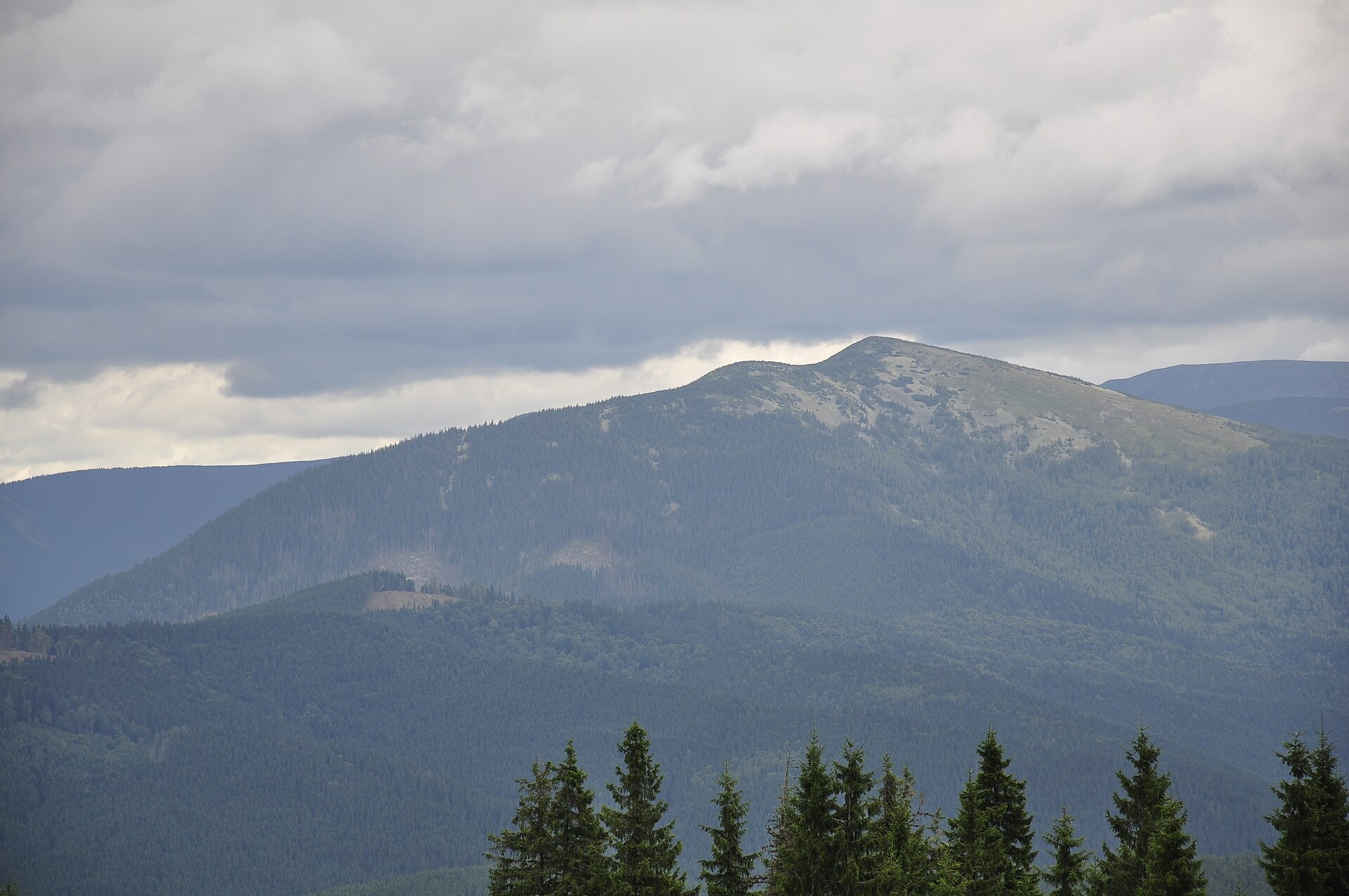
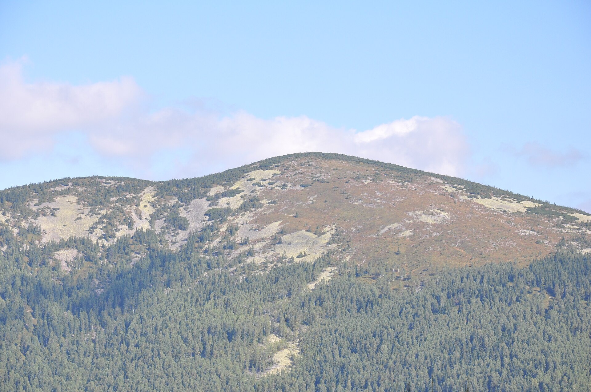
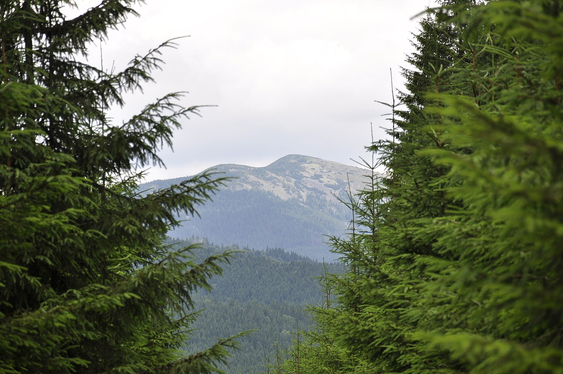
Ovul is a 1,609 m mountain, the highest point of the Verkhnii Dariv ridge in the Western Gorgany. It lies in the Kalush (formerly Rozhniativ) district of Ivano-Frankivsk Oblast, between the valleys of the Limnytsia and its tributary, the Darivka. The nearest village is Osmoloda, about 3 km away. Other well-known summits of the area stand nearby: Petros Gorganskyi, Studenets and Koretvyna, all some 4–5 km away.
The slopes of Ovul are steep. The northern side is completely covered with dwarf mountain pine, while the southern one is overgrown with lingonberry, which gives the mountain a reddish tint in autumn.
How to get there
Our site has no route to the top of Ovul yet. The closest one — about 65 m from the summit — is the multi-day route Bystrytsia – Boiaryn – Syvulia – Stara Huta – Vysoka – Ihrovets – Osmoloda – Kuzmynets (67.6 km). Osmoloda is a convenient base: forest roads lead from it up the Limnytsia and Darivka valleys towards the ridge. Expect a hard climb through dwarf pine and boulder fields.
Water, shelter and safety
The nearest shelter on our map is a hunters' lodge above Osmoloda, about 1.3 km from the summit; the nearest spring is about 1.8 km away, lower in the valley. There is no water on the ridge itself, so carry enough. Off the path, the dwarf pine and scree of Ovul are almost impassable: plan the climb for daylight, keep a track in your navigation app and do not go up in fog. In an emergency call 112 or 101 — contacts of the nearest units are on the mountain rescue page.
Interesting facts
- The name is traced to the Latin «ovum», egg — the summit really has a rounded, egg-like shape.
- As early as 1935 a virgin-forest reserve was set up on the mountain.
- Two forestry districts, Rizarnianske and Darivske, are based near the mouth of the Darivka, north of the mountain.
Photos: Losth., CC BY-SA 4.0; Losth., CC BY-SA 4.0; Losth., CC BY-SA 4.0 — Wikimedia Commons.
Location on the map
Comments
Places to stay nearby
 Homestead"U Davidka i Matviika"2.8 km from Mount OvulFireplaceKitchenParkingNearby: Mt Petros Gorgansky 4.6 kmMt Studenets 3.8 km2 trails
 HomesteadHomestead "Faini Karpaty" Osmoloda2.8 km from Mount OvulSaunaBBQKitchenNearby: Mt Petros Gorgansky 4.6 kmMt Studenets 3.8 km2 trails
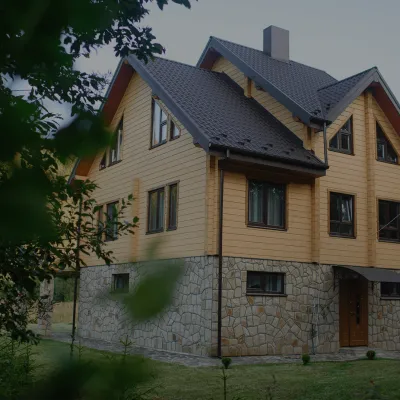 HomesteadHomestead "Albertville" Osmoloda2.8 km from Mount OvulFireplaceKitchenParkingNearby: Mt Petros Gorgansky 4.8 kmMt Studenets 4.0 km2 trails
Trails nearby
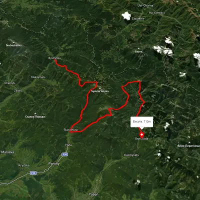 HardMulti-dayUnmarkedBystrytsia village to Kuzmynets villagevia Mount Boiaryn, Mount Syvulia +4Elevation profile661–1 788 m67.6 kmascent 6 302 munder 1 km from Mount Ovul
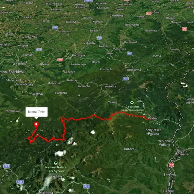 HardMulti-dayUnmarkedRakhiv to Osmoloda villagevia Mount Blyznytsia, Mount Troiaska +1Elevation profile437–1 858 m134.1 kmascent 7 086 m3.4 km from Mount Ovul
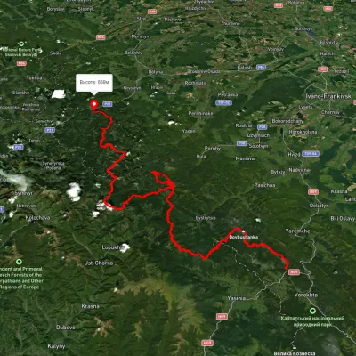 HardMulti-dayUnmarkedTatariv village to Myslivka villagevia Mount Syniak, Mount Dovbushanka +6Elevation profile671–1 792 m171.1 kmascent 9 973 m3.4 km from Mount Ovul
Nearby attractions
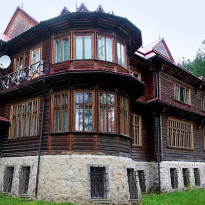 ArchitectureRecreational Complex "Kedrova Palata" (Sheptytskyi's Dacha) Osmoloda2.8 km from Mount Ovul"Kedrova Palata", also known as "Sheptytskyi's Dacha" - a recreational complex in the area of Pidlyutomu (Pidlyute) on the Limnytsia River, which is considered the...
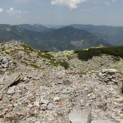 PeakMount Petros Gorganskyaltitude 1 702 m · Gorgany range4.1 km from Mount Ovul8 trails to the topPetros Horhanskyi is a 1702 m high mountain (the Polish map of 1935 shows different information - 1708 m) in the central part of the Horhanskyi mountain range of the...
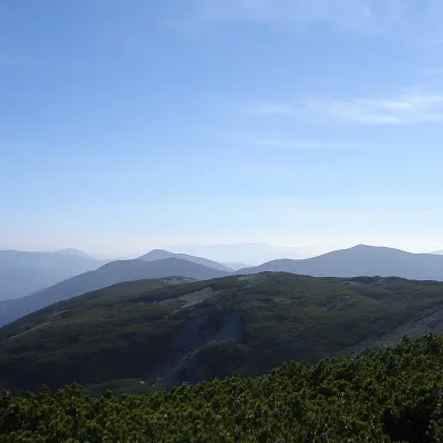 PeakMount Studenetsaltitude 1 671 m · Gorgany range4.2 km from Mount Ovul1 trail to the topMount Studenets (also known as Studinets, Studynets) is a 1671-meter peak of the Ukrainian Carpathians, located within the Horhan mountain range and is located in the...