Ascent of Mount Ovul
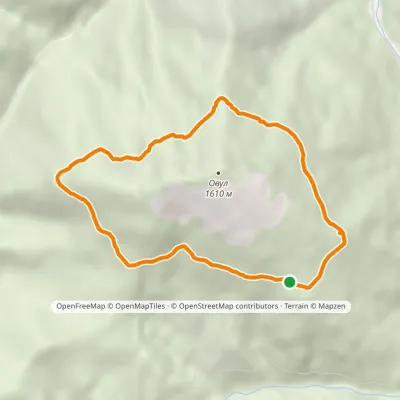
Trail map
Route, springs and shelters: © OpenStreetMap contributors (ODbL) · elevation: Copernicus DEM © DLR e.V., © Airbus DS · Data & licences
Where to stay nearby
About the trail
Route Ascent of Mount Ovul. Has orange marking (local route). Waymarking data: OpenStreetMap (© OpenStreetMap contributors, ODbL).
Officially marked local tourist route. The marking is orange, the sign is a vertical stripe on a white background. The length of the route is 2.6 km. Location: mountain range - Horgany, Ivano-Frankivsk region.
At a glance
A short route of 2.6 km with 588 m of ascent. Estimated walking time: about 1.5 h, not counting stops. Difficulty: easy. Waymarking: orange.
Water and overnight stays
Our map shows no springs near the trail — bring your own water (at least 1 l).
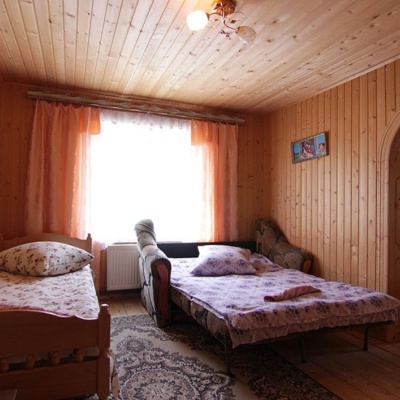
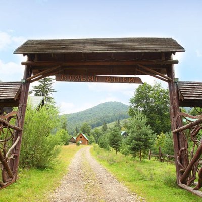
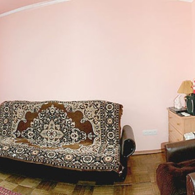
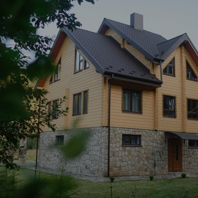
Places to stay near the finish: Osmoloda.
When to go
Best time: June to September. In winter only for experienced hikers with proper gear: avalanche danger is possible.
Getting there
This is a one-way route: the finish is 2 km from the start in a straight line, so plan your way back in advance.
FAQ
- How long does the route take?
- Estimated walking time: about 1.5 h, not counting stops.
- Is there water on the route?
- Our map shows no springs near the trail — bring your own water (at least 1 l).
- Where can I stay overnight?
- Places to stay near the finish: Osmoloda.
Before you go, check the border-regime restrictions: Border Guard permit for mountain hikes (in Ukrainian)
Comments
Trails nearby
All trails HardMulti-dayBystrytsia village to Kuzmynets villagevia Mount Boiaryn, Mount Syvulia +4Elevation profile666–1 811 m67.6 kmascent 6 210 m
 EasyOne-dayMarkedMount Ovul traverseElevation profile1 271–1 400 m6.5 kmascent 133 m≈ 2 h walking
 HardMulti-dayTatariv village to Myslivka villagevia Mount Syniak, Mount Dovbushanka +6Elevation profile656–1 822 m171.1 kmascent 10 407 m
Craft nearby
All craft places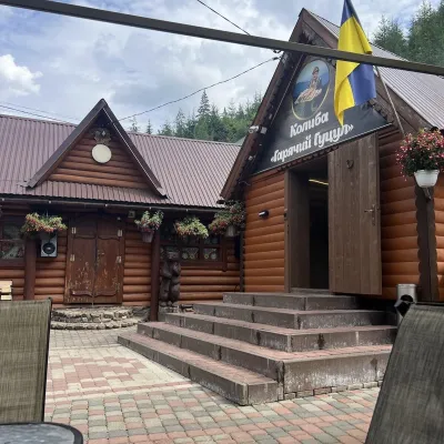 Koliby & Hutsul cuisineKolyba “Hariachyi Hutsul”, Synevyrska PolianaSynevyrska Polyana25 km from the trailKolyba “Hariachyi Hutsul” (“The Hot Hutsul”) is a cosy kolyba-museum in Synevyrska Poliana, on the road to Lake Synevyr.
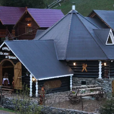 Koliby & Hutsul cuisineKolyba “Na Detsu do Tsimbora”, Synevyrska PolianaSynevyrska Polyana26 km from the trailNa Detsu do Tsimbora is a large kolyba restaurant in Synevyrska Poliana, right where the road starts climbing to Lake Synevyr.
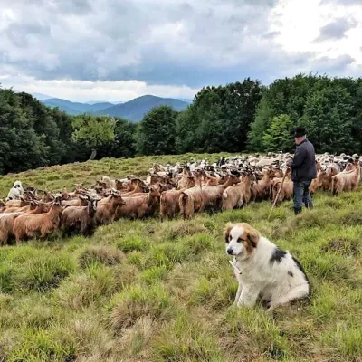 Cheese dairies & pasturesVivcharskyi Khutir Sheep Farm, Synevyrska PolianaSynevyrska Polyana26 km from the trail"Vivcharskyi Khutir" ("Shepherd's Homestead") is an ethno-centre and sheep farm in Synevyrska Poliana, near Lake Synevyr.
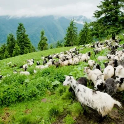 Cheese dairies & pasturesShepherding School on Mount Strymba, KolochavaKolochava26 km from the trailThe Kolochava Shepherding School is not a building with classrooms but a summer shepherds' camp (salash) on the slopes of Mount Strymba (1,719 m), one of the highest...
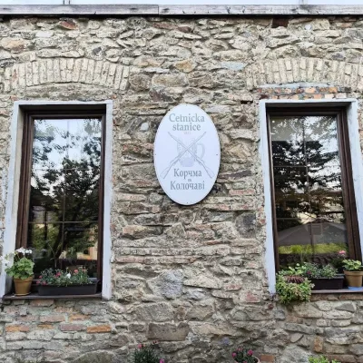 Koliby & Hutsul cuisineKorchma “Zhandarmska Uprava”, KolochavaKolochava26 km from the trailKorchma “Zhandarmska Uprava” (“The Gendarmerie Station”) is a family-run tavern in the centre of Kolochava, one of the best-known tourist villages in Transcarpathia.
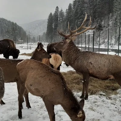 Wildlife parks & animal farmsWolf Valley Eco Park, Synevyrska PolianaSynevyrska Polyana27 km from the trailWolf Valley Eco Park (Dolyna Vovkiv) is a private animal park in Synevyrska Poliana, in the Mizhhiria area of Zakarpattia, where several kinds of wolves, red deer,...
