Bystrytsia village — to Kuzmynets village, via Mount Boiaryn, Mount Syvulia, Stara Huta village, Mount Vysoka, Mount Ihrovets, Osmoloda village
Unmarked trailmore
It may be partly marked. Unmarked trails have no information boards, signposts or auxiliary signs (water, campsite, etc.). The decision to walk the trail is entirely your own responsibility.
Trail map
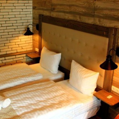
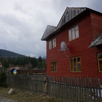
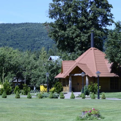
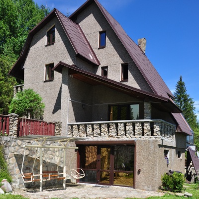
Where to stay nearby
About the trail
Route Bystrytsia village, via Mount Boiaryn, Mount Syvulia, Stara Huta village, Mount Vysoka, Mount Ihrovets and Osmoloda village to Kuzmynets village. Along the route you will see: Mount Boyarin (Korotkan), Mount Negrova, Mount Mala Sivulya, Mount Velyka Sivulya, Mount Igrovets, Gora Vysoka and 2 more.
At a glance
A multi-day route of 67.6 km with 6,302 m of ascent from Bystrytsia village to Kuzmynets village. Estimated time: 4 days of 6–7 h of walking (about 27.5 h in total, not counting stops). Difficulty: hard. Waymarking is missing or partial.
Route stages
- 0–17 kmClimb of 1,020 m to Mount Mala Sivulya (1,815 m)
- 17–29 kmDescent of 1,090 m (down to 663 m)
- 29–40 kmClimb of 1,120 m to Mount Igrovets (1,804 m)
- 40–45 kmDescent of 880 m (down to 902 m)
- 45–54 kmClimb of 680 m to Mount Ovul (1,609 m)
- 54–68 kmDescent of 870 m to Kuzmynets village
Steepest kilometre: km 45–46, a climb of 500 m (≈49%).
Water and overnight stays
Springs near the trail: at km 15, 25, 33, 35, 36, 42, 44, 47, 64 and 67. There are no springs between km 47 and 64 — carry at least 3.5 l of water. Some springs run low or dry up in late summer.
Huts and shelters near the trail: Mountain shelter on Polonyna Boiaryn (km 9), Hut on Polonyna Kosharky (km 23). Places to stay near the finish: Osmoloda.
A possible split into days:
- Day 1: km 0–15, ≈7 h — overnight: no shelter nearby on the map, bring a tent
- Day 2: km 15–35, ≈7 h — overnight: no shelter nearby on the map, bring a tent
- Day 3: km 35–50, ≈7 h — overnight: no shelter nearby on the map, bring a tent
- Day 4: km 50–68, ≈7 h — finish
When to go
Best time: June to September. In winter only for experienced hikers with proper gear: avalanche danger is possible. About 11 km of the route runs above 1,500 m, where the weather changes quickly — check the forecast.
Getting there
Start: Bystrytsia village. This is a one-way route: the finish is 27 km from the start in a straight line, so plan your way back in advance.
FAQ
- How long does the route take?
- Estimated time: 4 days of 6–7 h of walking (about 27.5 h in total, not counting stops).
- Is there water on the route?
- Springs near the trail: at km 15, 25, 33, 35, 36, 42, 44, 47, 64 and 67. There are no springs between km 47 and 64 — carry at least 3.5 l of water. Some springs run low or dry up in late summer.
- Where can I stay overnight?
- Huts and shelters near the trail: Mountain shelter on Polonyna Boiaryn (km 9), Hut on Polonyna Kosharky (km 23). Places to stay near the finish: Osmoloda.
Water and shelter on the route
- Mountain shelter on Polonyna Boiarynkm 8.5 from the start · 80 m off the path · Not verified · 1 201 m
- Spring on Polonyna Rushchyna (7)km 15 from the start · 160 m off the path · Not verified · 1 396 m
- Spring on Polonyna Rushchyna (4)km 15.8 from the start · 170 m off the path · Not verified · 1 437 m
- Hut on Polonyna Kosharkykm 23 from the start · 70 m off the path · Not verified · 769 m
- Spring (Stara Huta, 4)km 24.3 from the start · 60 m off the path · Not verified · 756 m
- Spring (Stara Huta, 2)km 32.9 from the start · Not verified · 859 m
- Spring below Mount Serednia (3)km 34.6 from the start · Not verified · 954 m
- Spring below Mount Serednia (2)km 35.9 from the start · 290 m off the path · Not verified · 1 201 m
- Spring below Mount Ihrovetskm 41.7 from the start · 270 m off the path · Not verified · 1 138 m
- Spring (Osmoloda, 20)km 43.4 from the start · Not verified · 995 m
- Spring (Osmoloda, 18)km 46 from the start · Not verified · 1 514 m
- Stream water (Osmoloda, 2)km 62.7 from the start · Not verified · 769 m
- Spring (Kuzmynets, 12)km 65.8 from the start · 60 m off the path · Not verified · 715 m
- Well (Kuzmynets)km 66.5 from the start · Not verified · 716 m
Comments
What to see on the trail
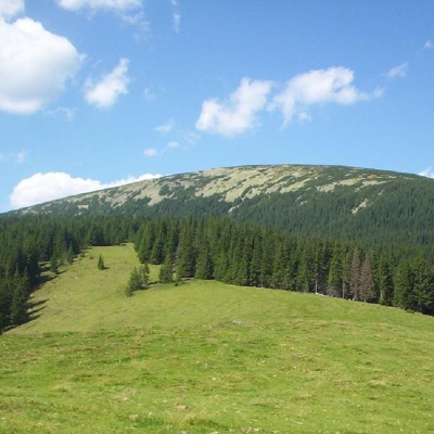 Mount Boyarin (Korotkan)altitude 1 675 mBoyarin (there is another name - Korotkan) is a massive oval-shaped mountain in the central part of the Gorgan mountain range of the Ukrainian...
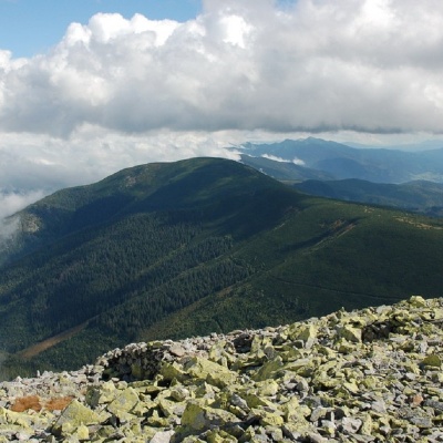 Mount Negrovaaltitude 1 604 mNegrova is a peak in the central part of the Gorgan mountain range(Ukrainian Carpathians). ...
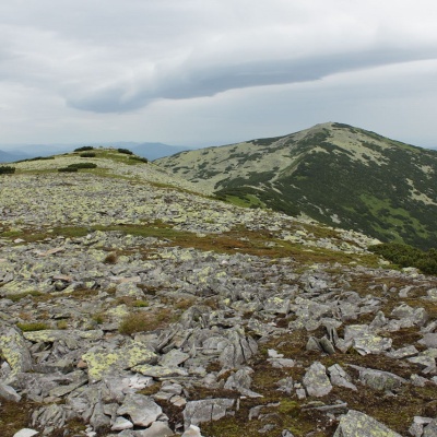 Mount Mala Sivulyaaltitude 1 815 mMount Mala Syvulya, 1815 meters high, is located next to the Velyka Syvulya on the Syvulyansky ridge.
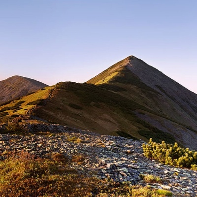 Mount Velyka Sivulyaaltitude 1 836 mMount Velyka Syvulia (or simply - Syvulia) is the highest peak of the Horhan massif. Syvulya is located on the ridge of the same name, which...
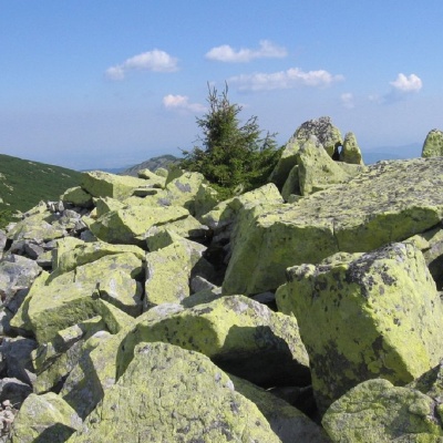 Mount Igrovetsaltitude 1 804 mMount Igrovets is located on the Igrovyshche ridge and is the third highest peak in the Horhan mountain range (after Velyka and Mala Syvul) at 1804...
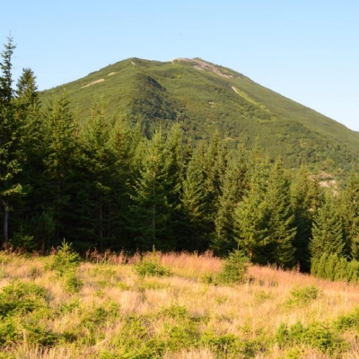 Gora Vysokaaltitude 1 803 mMount Vysoka (1803.6 m) is one of the peaks of the Ukrainian Carpathians, located in the Gorgan mountain range.
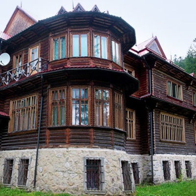 Recreational Complex "Kedrova Palata" (Sheptytskyi's Dacha) Osmolodaaltitude 901 m"Kedrova Palata", also known as "Sheptytskyi's Dacha" - a recreational complex in the area of Pidlyutomu (Pidlyute) on the Limnytsia River, which...
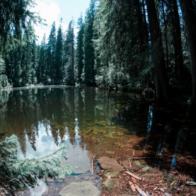 Lake Arshitsa, Osmolodaaltitude 1 300 mLake Arshytsia is the highest lake on the ridge (1300 m) and was recently discovered in April 2009 by a tourist from the Dolyna, Viktor...
Trails nearby
All trails HardMulti-dayMarkedEast Carpathian Tourist TrailElevation profile635–1 819 m278.1 kmascent 14 105 m
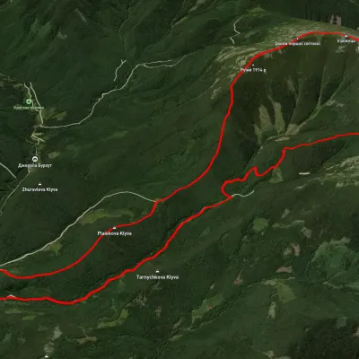 HardTwo-dayUnmarkedStara Huta village loopvia Mount Vysoka, Mount IhrovetsElevation profile21.2 kmascent 1 925 mmax 1 789 m≈ 9 h walking
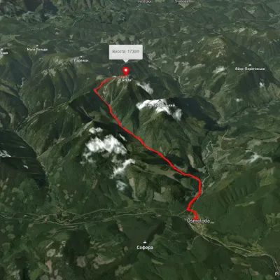 ModerateOne-dayUnmarkedOsmoloda village Mount GrofaElevation profile713–1 733 m10.9 kmascent 1 135 m≈ 5 h walking