Mount Negrova
Negrova is a peak in the central part of the Gorgan mountain range(Ukrainian Carpathians).
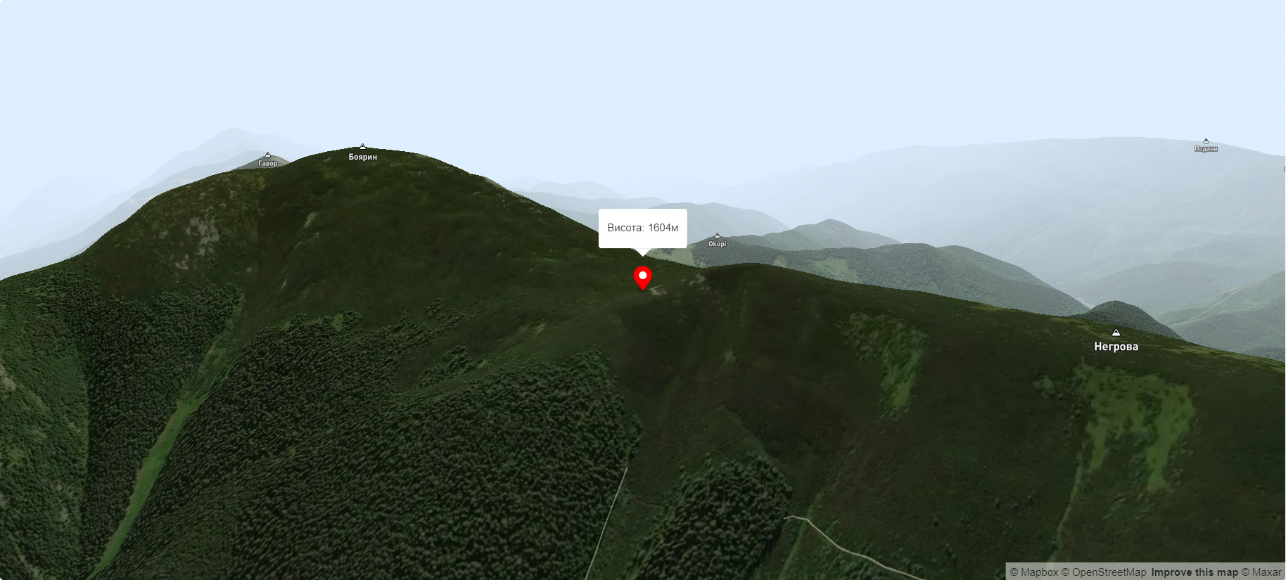
The height of Negrova is 1604 meters (according to other information - 1602 m).
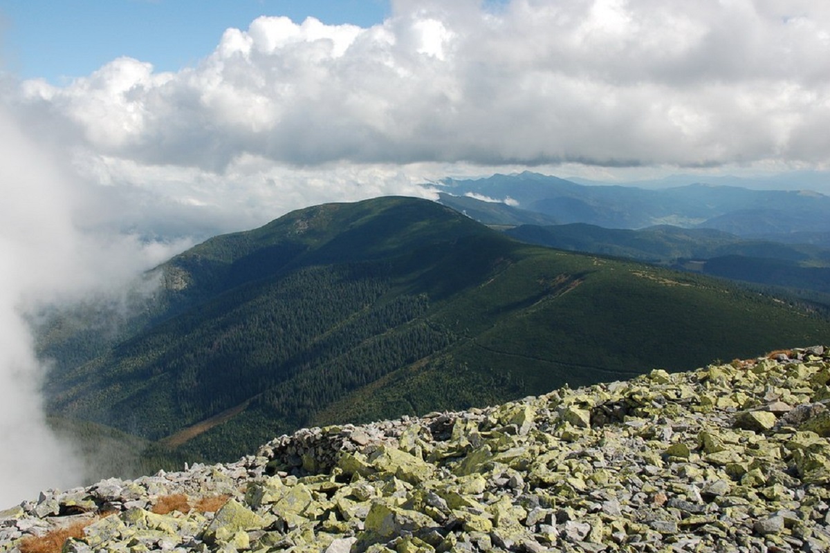
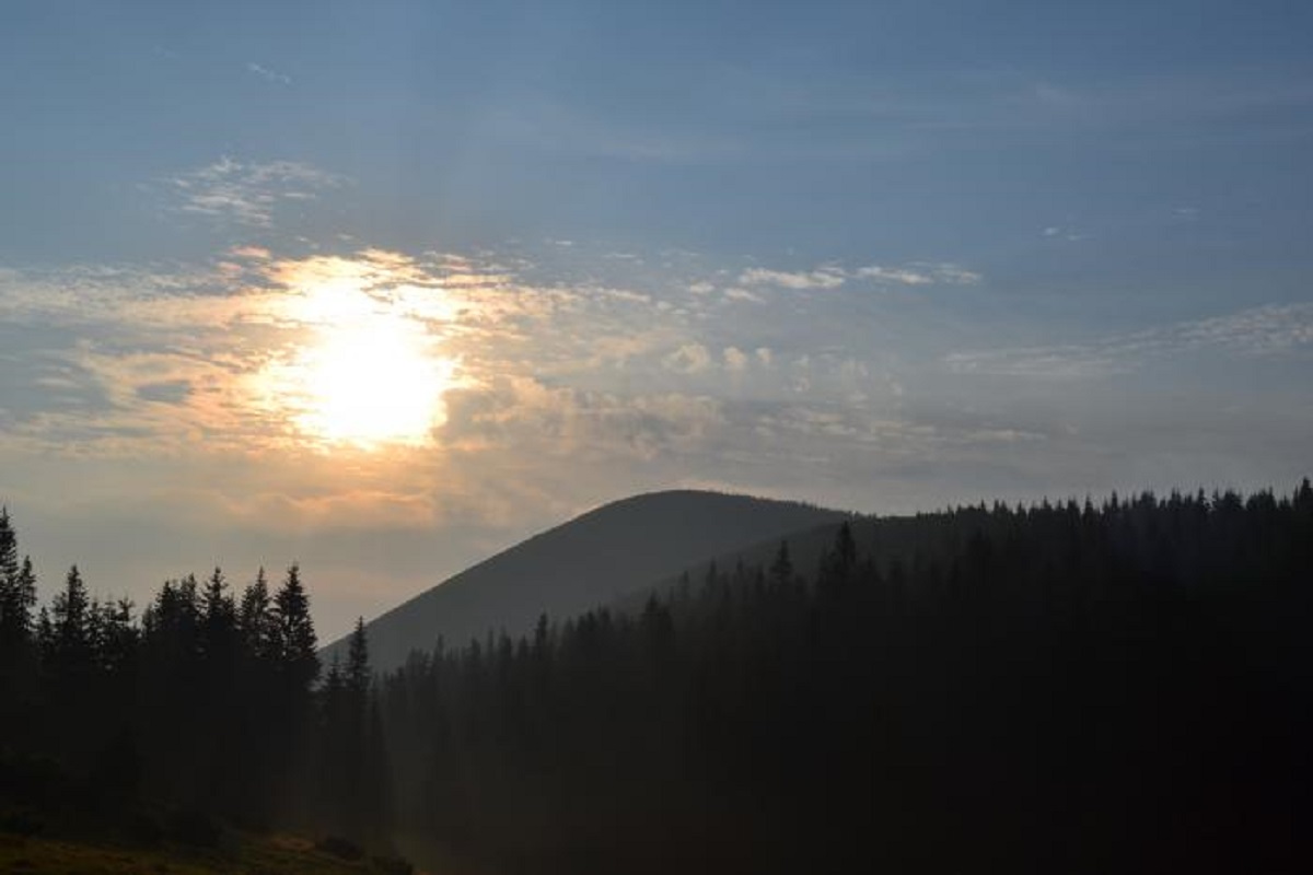
The peak has a massive, elongated shape. It stretches from east to west: in the eastern part, it is connected by a bridge to Mount Korotkan (Boyarin).
The slopes of the mountain are very steep in the northern direction, dissected by numerous tributaries of the Bystrytsia Solotvynska River, and gentler in the southern direction.
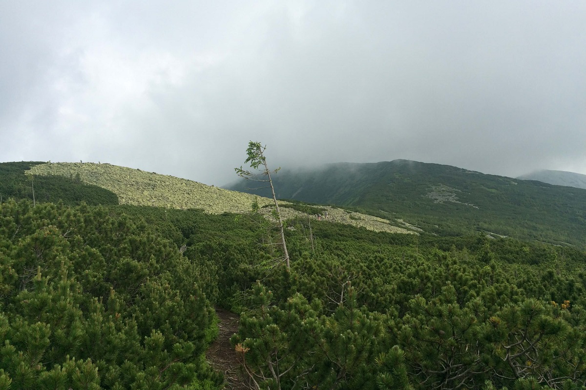
Up to an altitude of 1300-1350 meters above sea level, the slopes of Negrova are covered with centuries-old coniferous and mixed forests, and above that with alpine pine thickets and rock scatters and placers.
To the north-west of the peak is the Syvulia ridge with its highest peaks - Velyka Syvulia and Mala Syvulia, to the west - the Peklo cliff, to the south (beyond the Salatruk river valley) - the Tavpyshyrka mountain. Tavpyshyrka.
On the southern slope of the peak there is a landscape reserve of the same name of local importance.
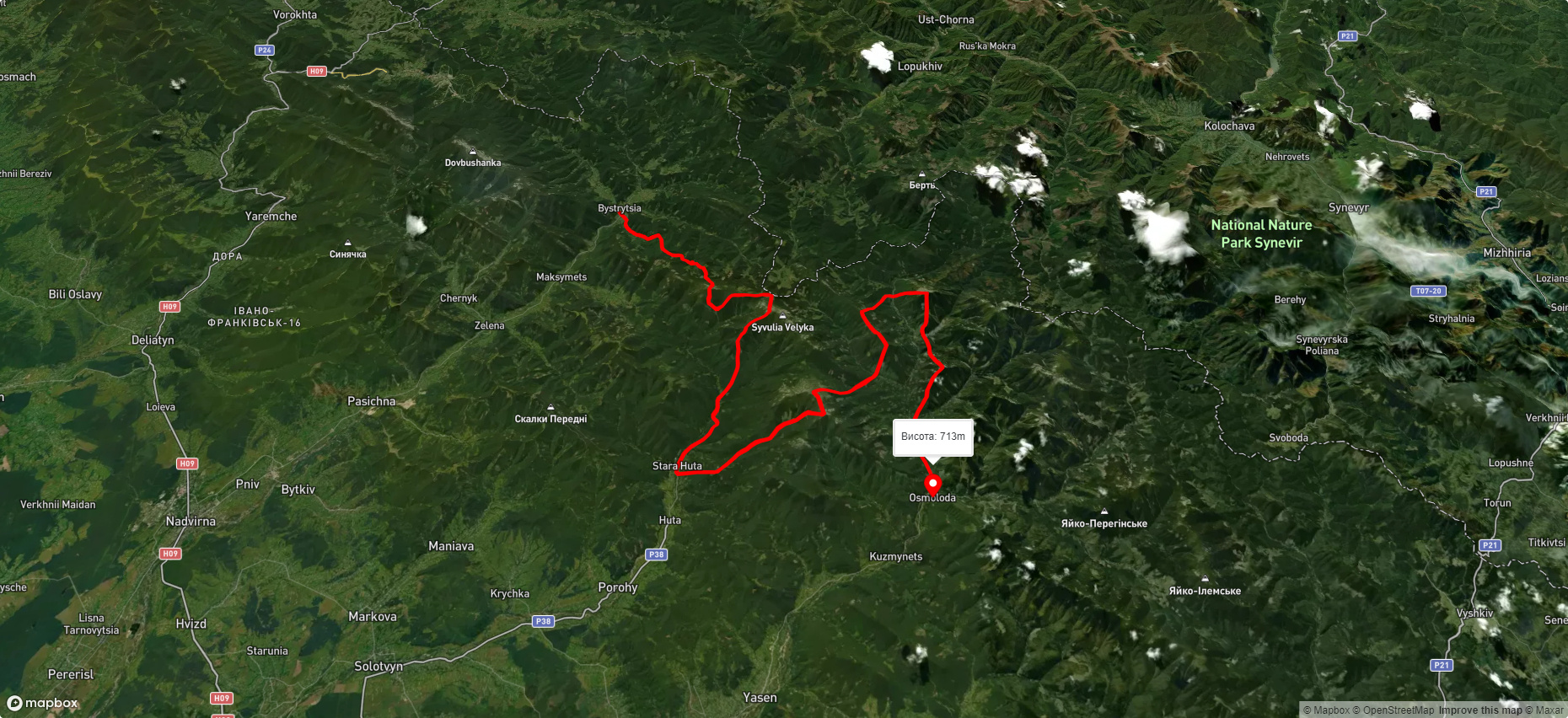
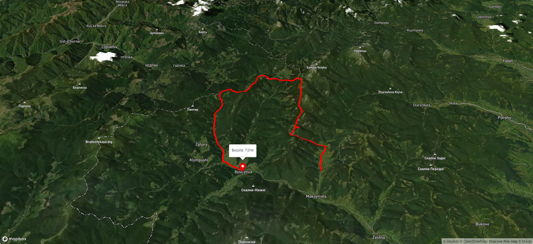
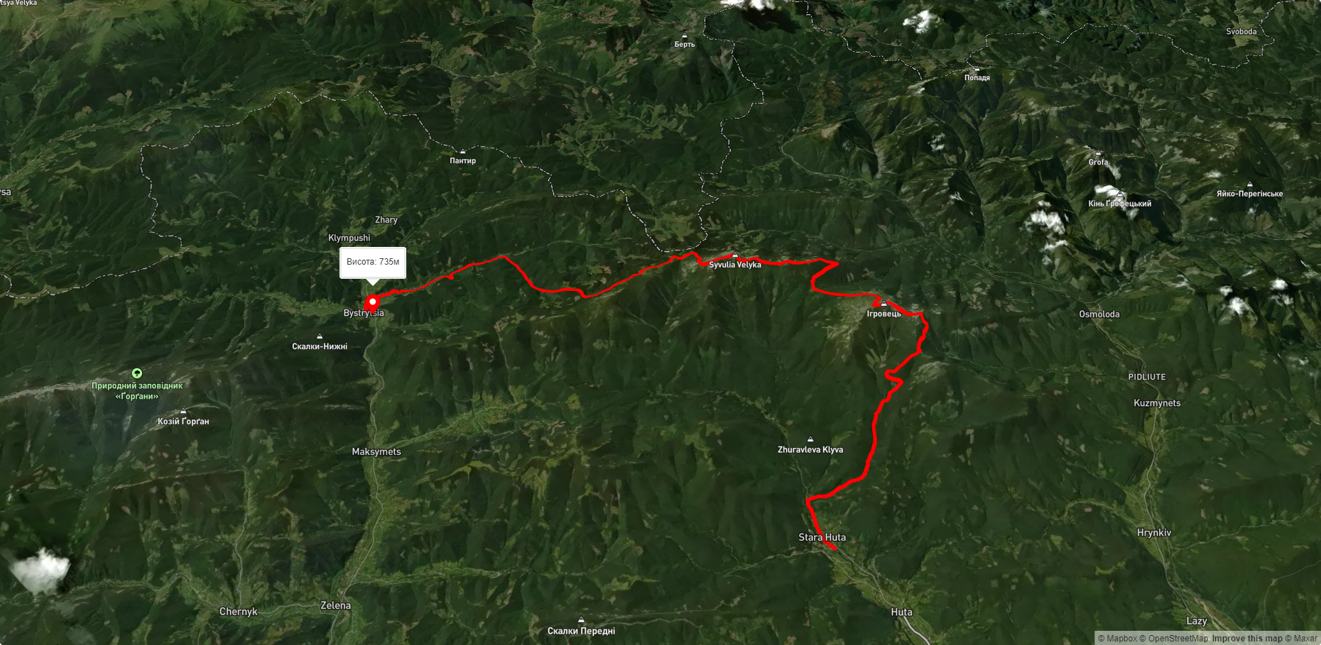
The nearest settlement is the village of Stara Huta (Bohorodchany district , Ivano-Frankivsk region).
Accommodation around Mount Negrova:


Nearby hiking trails near Mount Negrova:
Які маршрути проходять повз Mount Negrova?
Пропонуємо пройти такі туристичні (пішохідні) маршрути через/біля Mount Negrova: с. Бистриця, через г. Боярин, г. Сивуля, с. Стара Гута, г. Висока, г. Ігровець, с. Осмолоода до с. Кузьминець, с. Максимець, через г. Гечура, пер. Перенизь, г. Тавпиш до с. Бистриця, с. Стара Гута, через г. Висока, г. Ігровець, г. Сивуля до с. Бистриця, с. Бистриця, через г. Сивуля, г. Лопушна, г. Боревка до с. Стара Гута, с. Пасічна, через с. Манява, Манявський вдсп., г. Велика Сивуля до с. Бистриця, с. Осмолода, через г. Висока, г. Ігровець, г. Сивуля до с. Бистриця