Mount Boyarin (Korotkan)
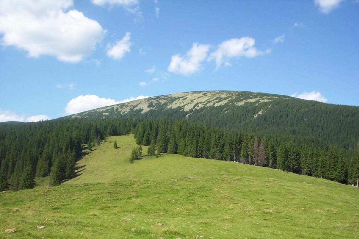
Boyarin (there is another name - Korotkan) is a massive oval-shaped mountain in the central part of the Gorgan mountain range of the Ukrainian Carpathians.
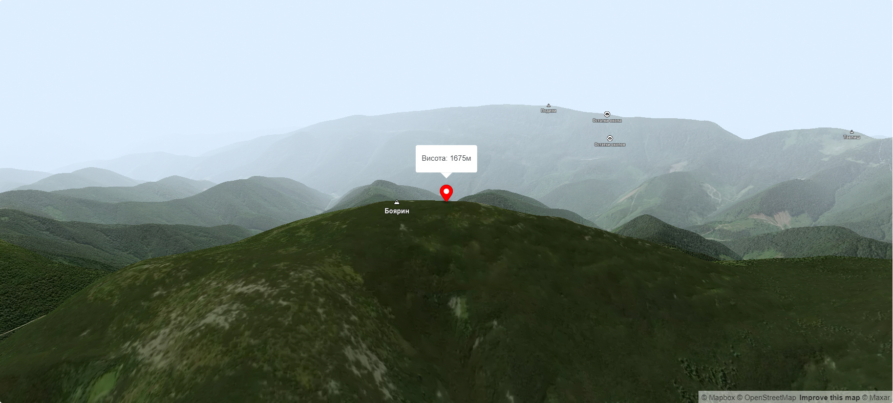
The height is 1675 meters (according to other information - 1679 m).
The slopes of the peak are dissected in the northern direction by the tributaries of the Bystrytsia Solotvynska River, and in the southern direction by the tributaries of the Bystrytsia Nadvirnianska River. The top and middle part of Mount Boyaryn is covered with numerous thickets of horsetail, as well as stone scree and scattered placers, while the lower part is covered with mixed and coniferous forests.
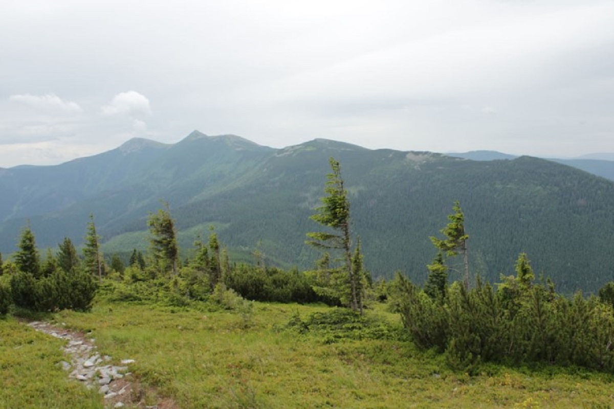
From the very top of Boyaryn, a magnificent view opens up: from here, Mount Syvulia is visible in the northwestern direction, and the Tavpyshyrka ridge in the southern direction. To the west of the mountain is the Peklo Precipice, to the south is Mount Okopy.
The nearest settlement is the village of Stara Huta in the Bohorodchany district of Ivano-Frankivsk region.
Accommodation around Mount Boyarin (Korotkan):


Nearby hiking trails near Mount Boyarin (Korotkan):
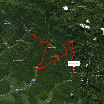
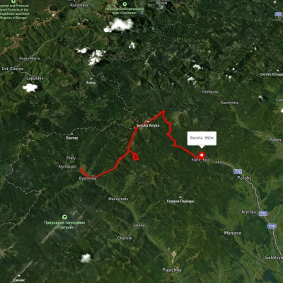
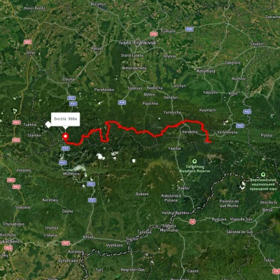
Which trails pass by Mount Boyarin (Korotkan)?
We suggest these hiking trails through or near Mount Boyarin (Korotkan): Bystrytsia village, via Mount Boiaryn, Mount Syvulia, Stara Huta village, Mount Vysoka, Mount Ihrovets and Osmoloda village to Kuzmynets village, Bystrytsia village, via Mount Syvulia, Mount Lopushna and Mount Borevka to Stara Huta village, East Carpathian Tourist Trail, Bystrytsia village, via Peklo tract, Mount Mala Syvulia, Mount Velyka Syvulia and Rushchyna polonyna to Bystrytsia village, Bystrytsia village, via Mount Syvulia, Mount Lopushna and Mount Borevka to Stara Huta village, Osmoloda village, via Mount Vysoka, Mount Ihrovets and Mount Syvulia to Bystrytsia village