Mount Borevka
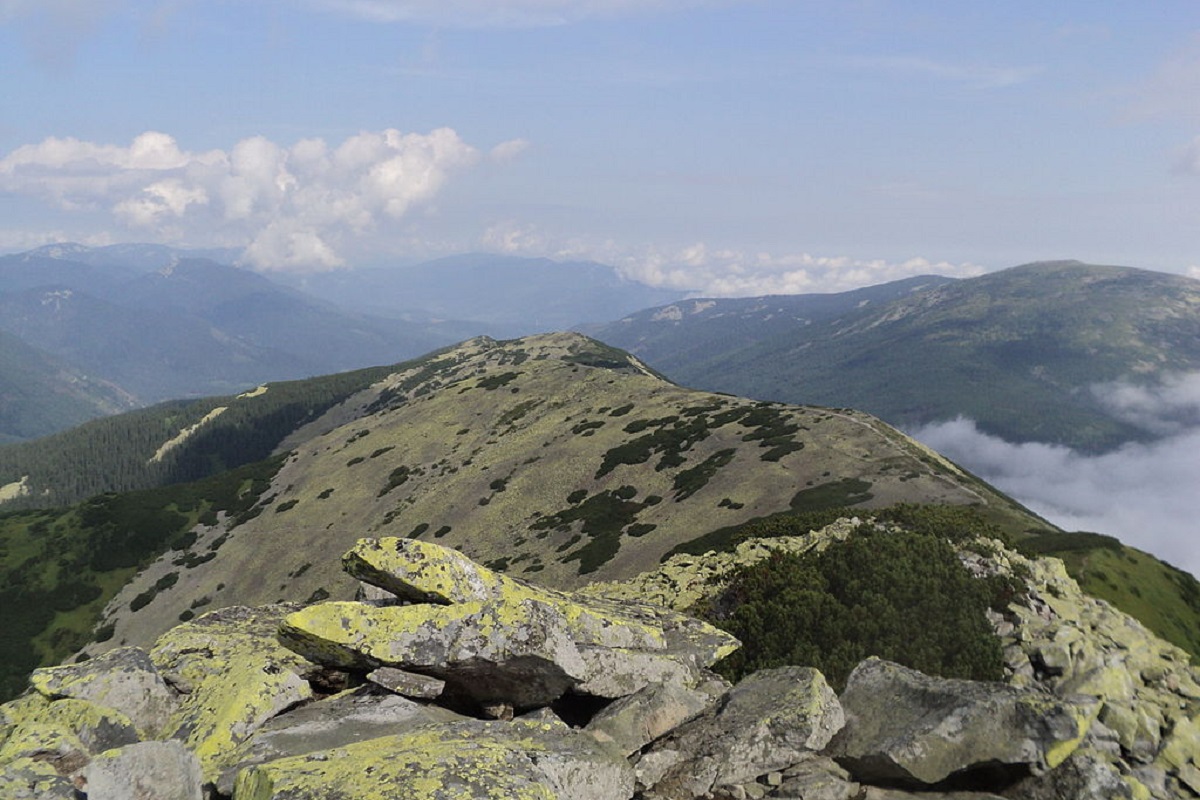
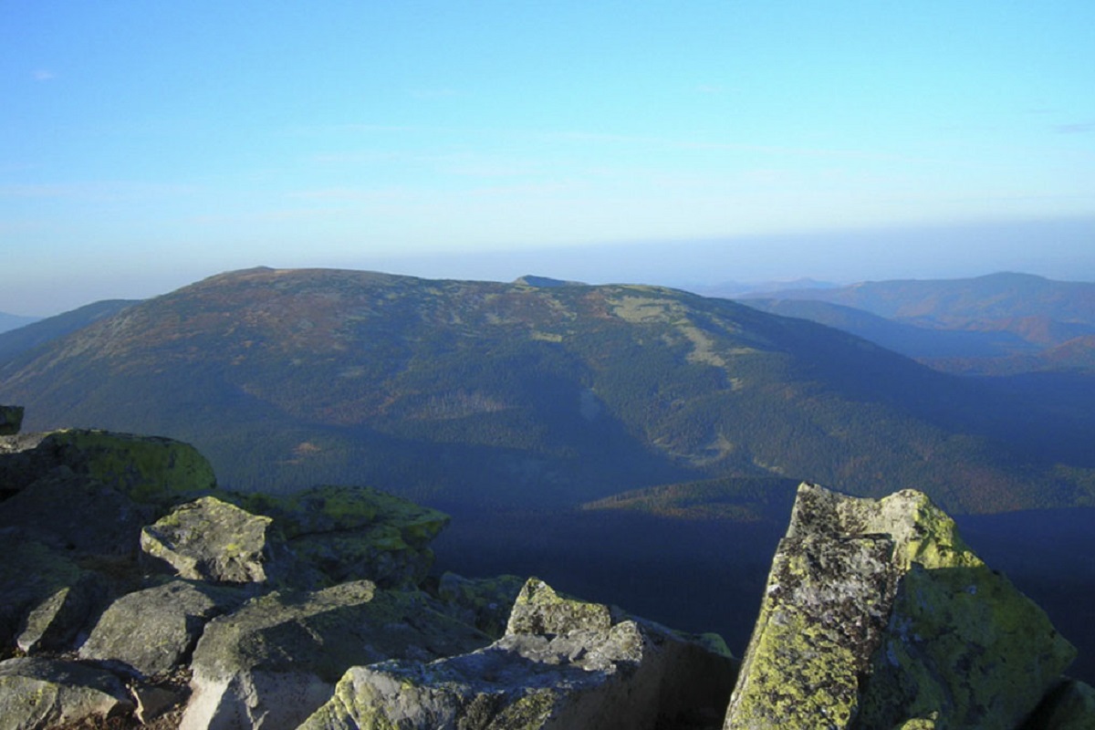
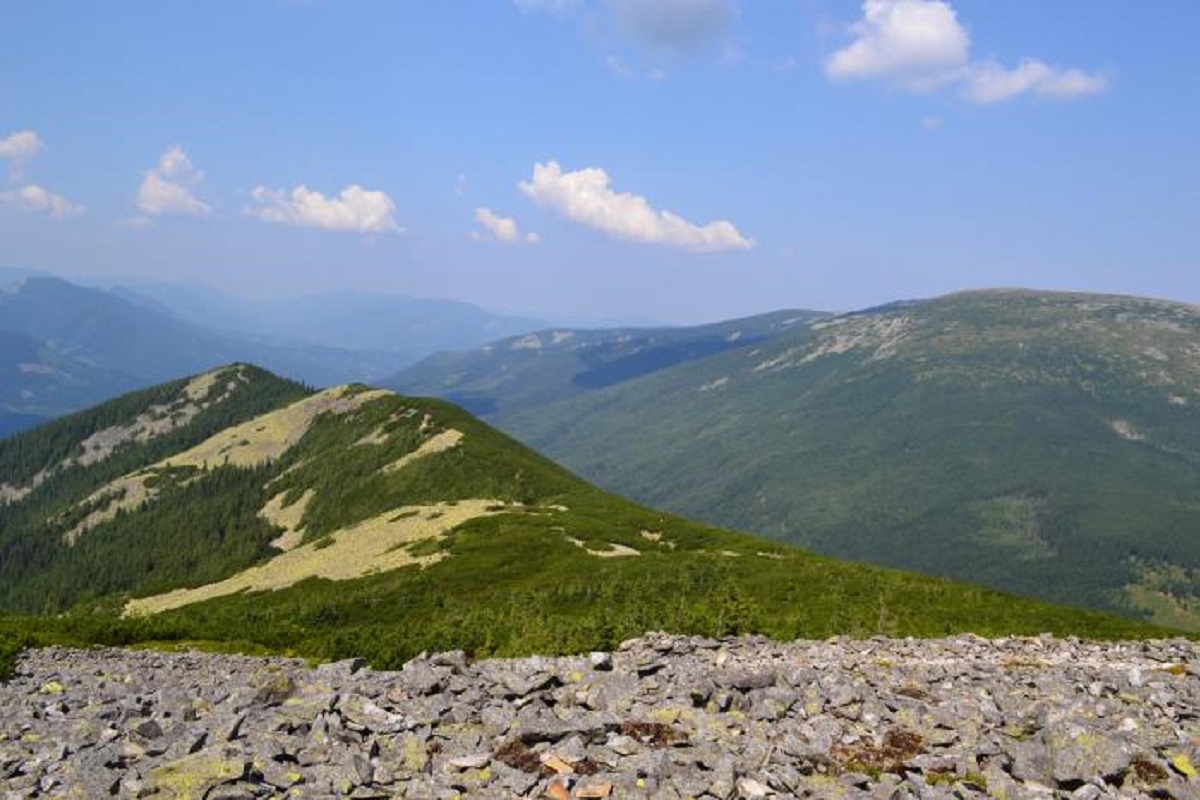
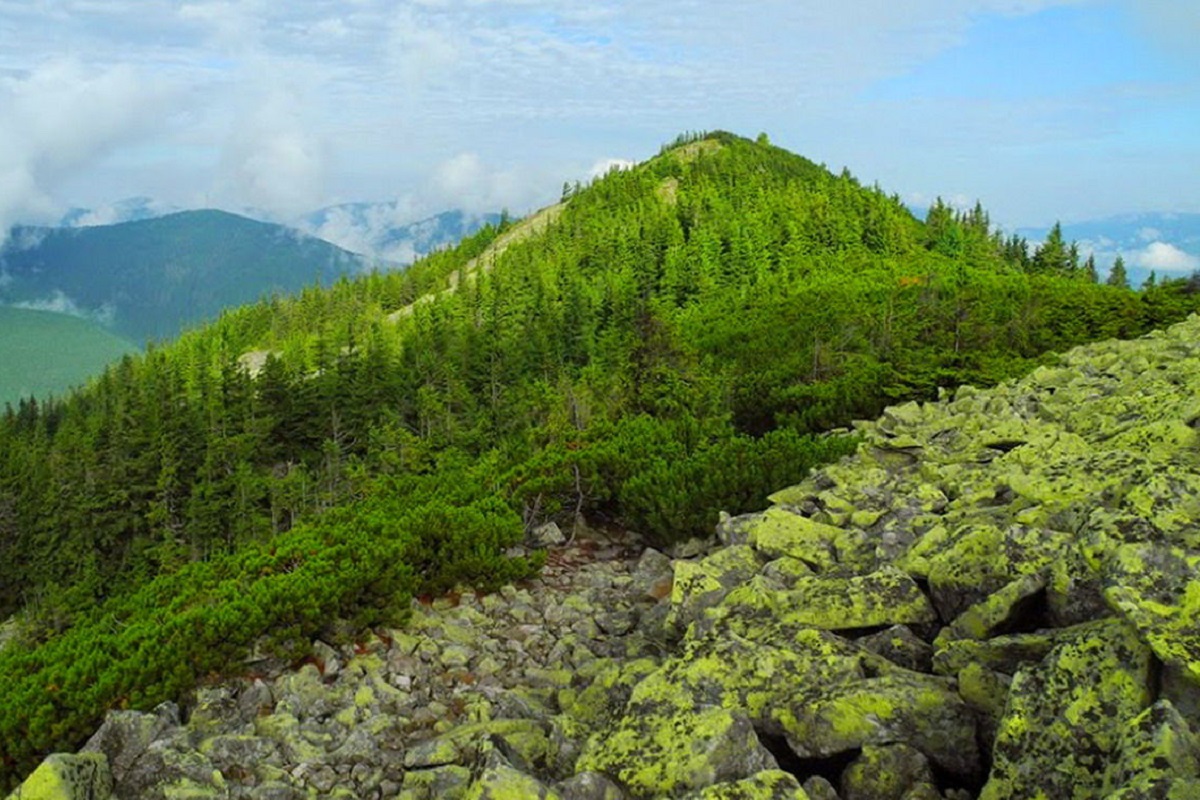
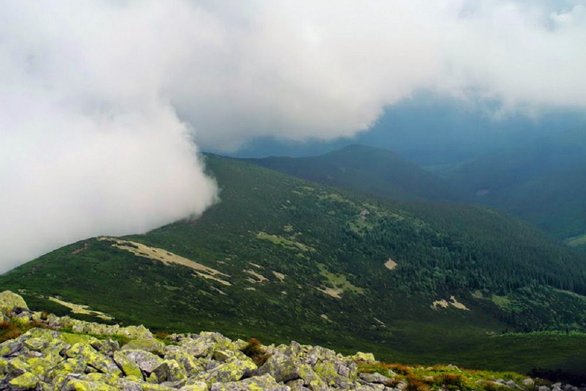
Mount Borevka is a 1,596-meter peak of the Ukrainian Carpathians, located in the northeastern part of the Syvulianskyi ridge of the Horhanskyi mountain range on the border of two districts of Ivano-Frankivsk Oblast - Bohorodchany and Rozhniativ.
The slopes of Borevka in the northeast and southwest directions are very steep and difficult to pass. The mountain is covered with old-growth forests up to 1300-1400 meters, and above this mark it is covered with stone placers, scree and thickets of mountain pine.
To the north of Mount Borevka is the Igrovyshche ridge, where two popular Gorgan peaks, Mount Igrovets and Mount Vysoka, are located, and to the southwest is the Gorgan ridge.
The nearest settlement is the village of Stara Huta (Bohorodchany district, Ivano-Frankivsk region).
Location on the map
Water and shelter nearby
- Spring below Mount Borevka (5)400 m · Weak flow · 1 367 m
- Spring below Mount Borevka (4)510 m · Not verified · 1 384 m
- Spring below Mount Lopushna700 m · Not verified · 1 471 m
- Spring below Mount Borevka (6)830 m · Not verified · 1 418 m
- Drinking water below Mount Borevka840 m · Not verified · 1 342 m
- Spring below Mount Borevka (3)960 m · Not verified · 1 351 m
- Spring below Mount Borevka1.7 km · Not verified · 1 186 m
- Spring below Mount Borevka (2)1.7 km · Not verified · 1 202 m
- Drinking water below Mount Ihrovets2.4 km · Not verified · 1 241 m
- Spring below Mount Velyka Syvulia2.6 km · Not verified · 1 498 m
Comments
Places to stay nearby
All stays Homestead"U Davidka i Matviika"Osmoloda5.9 km from Mount BorevkaFireplaceKitchenParkingNearby: Mt Studenets 3.8 kmMt Petros Gorgansky 4.6 km2 trails
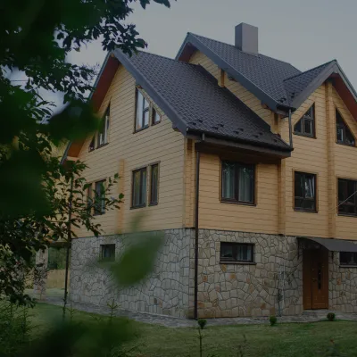 HomesteadHomestead "Albertville" OsmolodaOsmoloda5.7 km from Mount BorevkaFireplaceKitchenParkingNearby: Mt Studenets 4.0 kmMt Petros Gorgansky 4.8 km2 trails
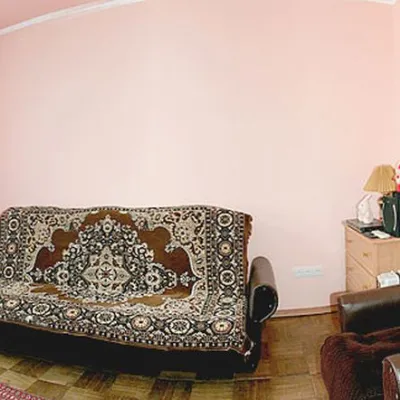 HomesteadHomestead "Faini Karpaty" OsmolodaOsmoloda5.9 km from Mount BorevkaSaunaBBQKitchenNearby: Mt Studenets 3.8 kmMt Petros Gorgansky 4.6 km2 trails
Trails via Mount Borevka
All 19 HardMulti-dayMarkedEast Carpathian Tourist TrailElevation profile635–1 819 m278.1 kmascent 14 105 m
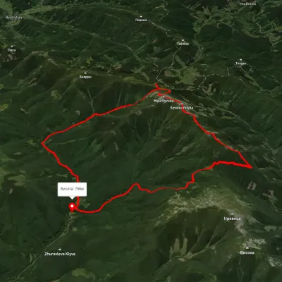 HardMulti-dayUnmarkedStara Huta village loopvia Mount Borevka, Mount Lopushna +2Elevation profile768–1 798 m27.4 kmascent 1 402 m≈ 9.5 h walking
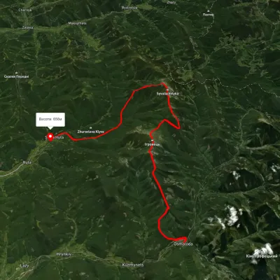 HardMulti-dayUnmarkedOsmoloda to Stara Huta villagevia Mount Vysoka, Mount Ihrovets +1Elevation profile651–1 797 m33.4 kmascent 2 125 m≈ 12.5 h walking
Nearby attractions
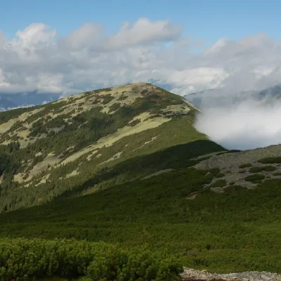 PeakMount LopushnaOsmolodaaltitude 1 694 m · Gorgany range1.2 km from Mount Borevka24 trails to the topMount Lopushna is a 1,694-meter peak in the Ukrainian Carpathians. It is located within the Gorgany mountain range on the border of two districts of Ivano-Frankivsk...
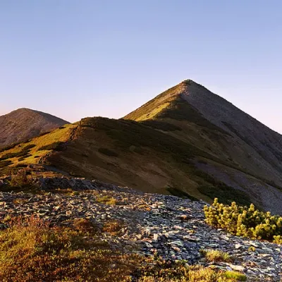 PeakMount Velyka SivulyaOsmolodaaltitude 1 836 m · Gorgany range3 km from Mount Borevka25 trails to the topMount Velyka Syvulia (or simply - Syvulia) is the highest peak of the Horhan massif. Syvulya is located on the ridge of the same name, which separates the valleys of...
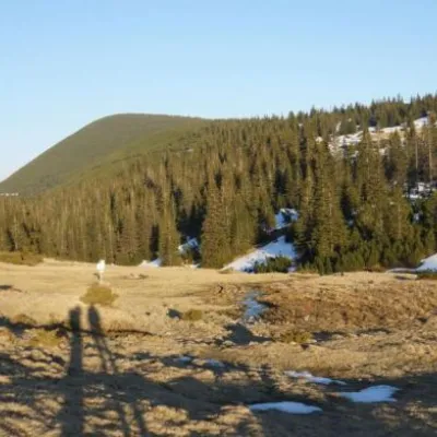 Mountain meadowPolonyna RuschynaOsmolodaaltitude 1 409 m4.8 km from Mount BorevkaRuschyna meadow is famous for its panoramic views of the mountains that surround it from all sides and the diversity of flora and fauna.