Mount Lopushnaya
Mount Lopushna is a 1,694-meter peak in the Ukrainian Carpathians. It is located within the Gorgany mountain range on the border of two districts of Ivano-Frankivsk region - Bohorodchany and Rozhnyativ.
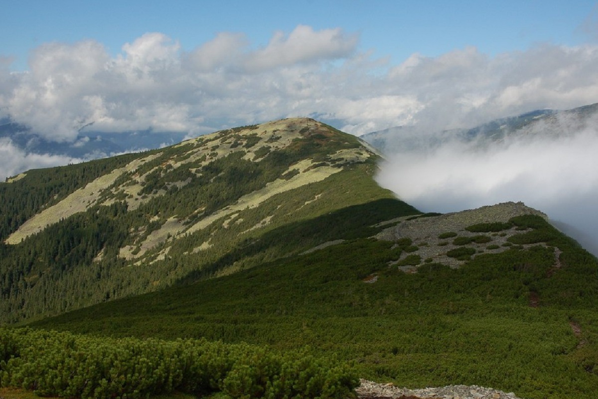
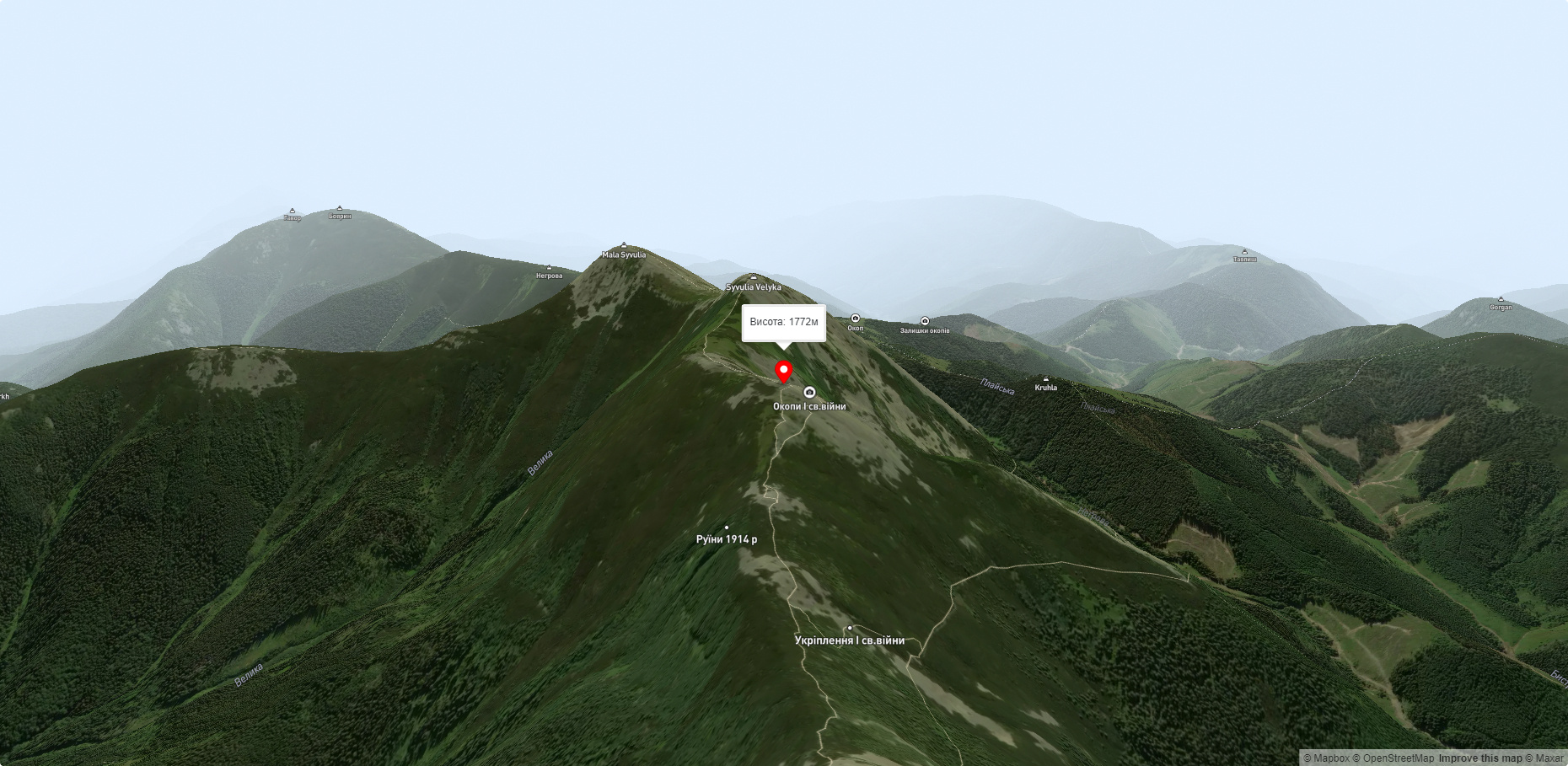
Lopushna, along with Mala Syvulia (1815 m) and Velyka Syvulia (1836 m), is one of the peaks of the Syvulia (Syvulianskyi) ridge, which is located between the valleys of the Bystrytsia Solotvynska and Limnytsia rivers.
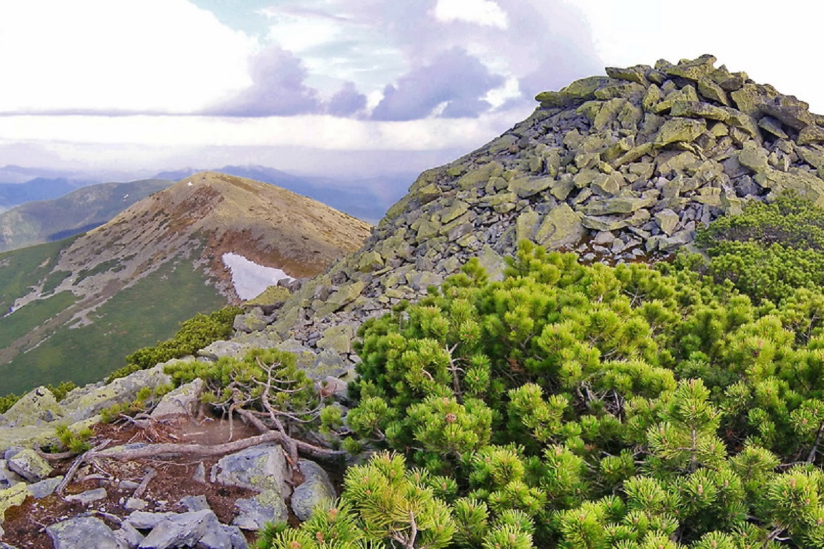
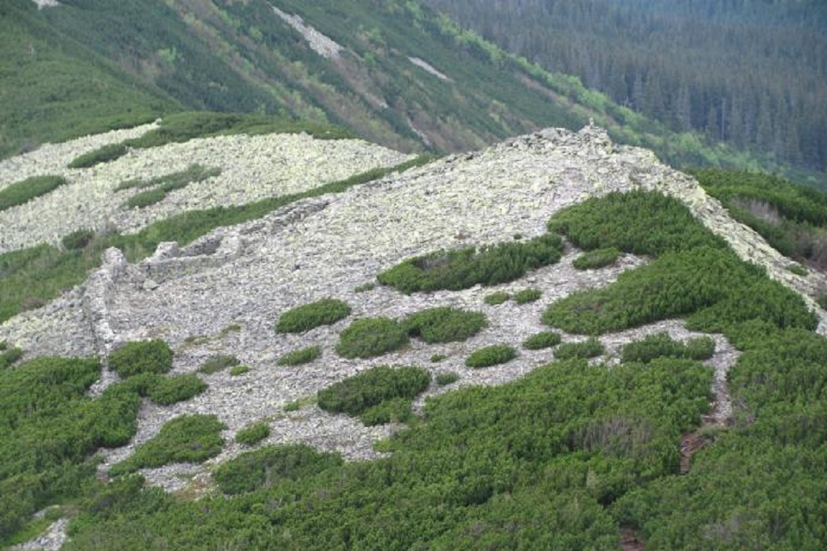
The slopes and the foot of Lopushna are covered with old coniferous forests, the summit is unforested, covered with yellow-green stone placers characteristic of the Gorgan Mountains and dense crooked forests of mountain pine - zherepu.
The slopes of the mountain in the northeast and southwest directions are very steep.
It is worth noting that within Lopushna there are numerous Austrian fortifications made of stones dating back to 1915: barbed wire fences, trenches, shelters, observation posts, etc. have been preserved.
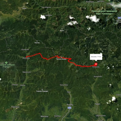
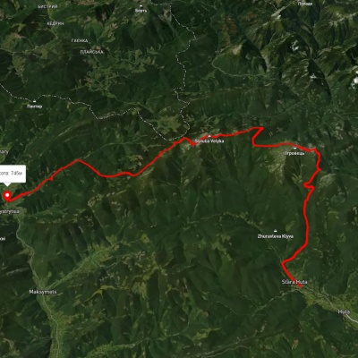
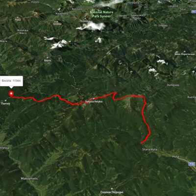
The closest settlements to Lopushna are the villages of Osmoloda, Bystrytsia, and Stara Huta.
Accommodation around Mount Lopushnaya:


Nearby hiking trails near Mount Lopushnaya:
Which trails pass by Mount Lopushnaya?
We suggest these hiking trails through or near Mount Lopushnaya: Bystrytsia village, via Mount Boiaryn, Mount Syvulia, Mount Ihrovets and Mount Vysoka to Osmoloda village, Stara Huta village, via Mount Vysoka, Mount Ihrovets and Mount Syvulia to Bystrytsia village, Stara Huta village, via Mount Vysoka, Mount Ihrovets and Mount Syvulia to the Mali Rohodzy Pass, Stara Huta village, via Mount Vysoka, Mount Syvulia, Mount Durnia, Mount Bratkivska, Mount Tataruka and Mount Blyznytsia to Bilyn village, Mount Velyka Syvulia, via Mount Borevka, Mount Ihrovets, Mount Vysoka and Mount Serednia to Osmoloda village, Tatariv village, via Mount Syniak, Mount Dovbushanka, Mount Chorna Kleva, Mount Bratkivska, Mount Syvulia, Mount Kinets Horhanu, Mount Popadia and Mount Grofa to Myslivka village