Mount Igrovets


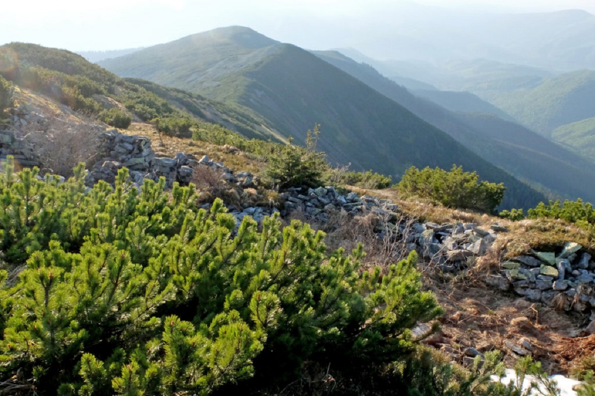
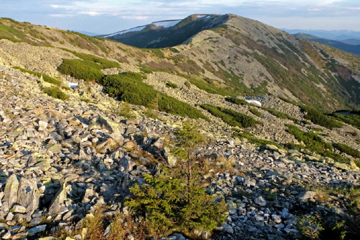
Mount Igrovets is located on the Igrovyshche ridge and is the third highest peak in the Horhan mountain range (after Velyka and Mala Syvul) at 1804.3 meters. It is here, to the meadows near Igrovets, that the local population from the village of Osmoloda goes to pick blueberries.
The western and northern sides of the mountain have very steep slopes covered with stone scatterings, while the southern side is quite gentle. The shape of Igrovets is unlike any other mountain in the Gorgan Mountains, as its top is very large in area and almost completely flat, like a football field.
The top of the mountain is covered with small and medium-sized specific yellowish Gorgan stones. Here and there, there are thickets of horsetail. On the slopes, among the dense thickets of mountain pine, there are huge blueberry plantations, which, by the way, can be enjoyed until the end of summer - in August they are especially sweet.
Since Igrovets is a rather high mountain, a strong wind blows almost all the time at the very top, even in the warm season; very often rain clouds get stuck on the mountain, which is why it is rarely hot here.
In general, Igrovets is a fairly popular tourist destination in the Ukrainian Carpathians, as it is the route to the highest mountain in the Gorgan Mountains, Velyka Syvula, that is known among outdoor enthusiasts. During the season, a lot of tourists come here, not only from Ukraine but also from neighboring countries.
Like Syvulia, Igrovets can be reached from 3 villages: Stara Huta, Osmoloda, and Bystrytsia. The latter option, although the longest, is also the most picturesque, as it runs through the Syvulia ridge.
The popularity of climbing Igrovets and the accompanying peaks(Mount Vysoka, Mount Serednya, Mount Lopushna, Mount Velyka Syvulia, Mount Mala Syvulia) is also explained by good transport links to the villages (starting and finishing points), the presence of a marked route and schematic maps and signs located at key ascent/descent points.
Video
 ГОРА ІГРОВЕЦЬВАСИЛИЙ ГАРАЩУК
Location on the map
Water and shelter nearby
- Spring below Mount Vysoka1.7 km · Not verified · 1 482 m
- Spring below Mount Ihrovets1.9 km · Not verified · 1 138 m
- Spring below Mount Ihrovets (2)2 km · Not verified · 1 222 m
- Spring below Mount Serednia2 km · Not verified · 1 438 m
- Drinking water below Mount Ihrovets2.1 km · Not verified · 1 241 m
- Spring below Mount Serednia (2)2.2 km · Not verified · 1 201 m
- Spring “Hrotso”2.5 km · Not verified · 1 495 m
- Spring below Mount Borevka (4)2.7 km · Not verified · 1 384 m
- Spring below Mount Borevka (5)2.8 km · Weak flow · 1 367 m
- Drinking water below Mount Borevka2.8 km · Not verified · 1 342 m
- Spring below Mount Borevka (3)2.8 km · Not verified · 1 351 m
- Spring below Mount Borevka (2)3 km · Not verified · 1 202 m
Comments
Places to stay nearby
All stays HotelSinihirskaBohorodchany8.7 km from Mount IgrovetsParkingTransferNearby: Residence Synihora 900 mManyavsky Waterfall 6.8 km16 trailsfrom 5 880 UAH per night
 HomesteadMykhailova HomesteadKuzmynets10 km from Mount IgrovetsSaunaFireplaceKitchenNearby: Sokil tract 3.0 kmPlast camp - Sokol museum 3.2 km13 trailsfrom 2 800 UAH whole place / night
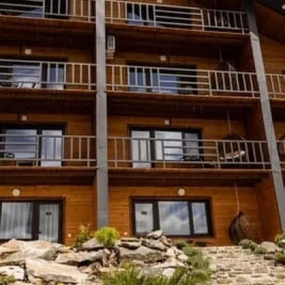 HotelManyava ResortIvano-Frankivsk17 km from Mount IgrovetsHot tubPoolSaunaNearby: Manyavsky Waterfall 2.2 kmManyavskyi Skit 3.4 km4 trailsfrom 4 200 UAH per night
Trails via Mount Igrovets
All 19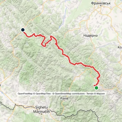 HardMulti-dayMarkedEast Carpathian Tourist TrailElevation profile643–1 836 m278.1 kmascent 8 455 m
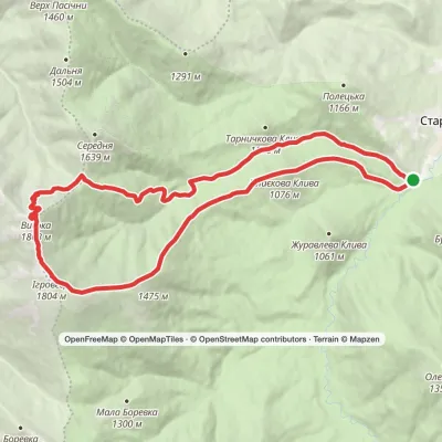 HardTwo-dayStara Huta village loopvia Mount Vysoka, Mount IhrovetsElevation profile703–1 804 m21.2 kmascent 1 269 m≈ 8 h walking
 HardMulti-dayOsmoloda to Stara Huta villagevia Mount Vysoka, Mount Ihrovets +1Elevation profile662–1 836 m33.4 kmascent 1 987 m≈ 12.5 h walking
Nearby attractions
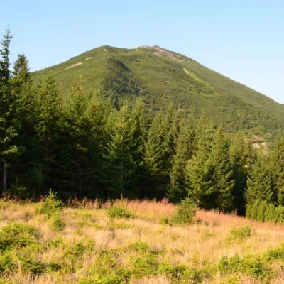 PeakGora VysokaStara Hutaaltitude 1 803 m · Gorgany range1.2 km from Mount Igrovets18 trails to the topMount Vysoka (1803.6 m) is one of the peaks of the Ukrainian Carpathians, located in the Gorgan mountain range.
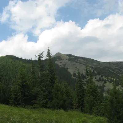 PeakSrednya MountainOsmolodaaltitude 1 639 m · Gorgany range2.9 km from Mount Igrovets12 trails to the topSerednya is a 1,639-meter peak of the Ukrainian Carpathians, which is located within the Gorgan mountain range.
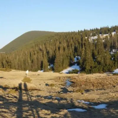 Mountain meadowPolonyna RuschynaOsmolodaaltitude 1 409 m7.4 km from Mount IgrovetsRuschyna meadow is famous for its panoramic views of the mountains that surround it from all sides and the diversity of flora and fauna.
Craft nearby
All craft places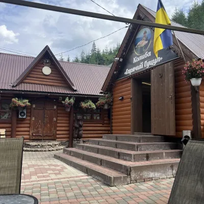 Koliby & Hutsul cuisineKolyba “Hariachyi Hutsul”, Synevyrska PolianaSynevyrska Polyana29 km from Mount IgrovetsKolyba “Hariachyi Hutsul” (“The Hot Hutsul”) is a cosy kolyba-museum in Synevyrska Poliana, on the road to Lake Synevyr.
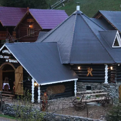 Koliby & Hutsul cuisineKolyba “Na Detsu do Tsimbora”, Synevyrska PolianaSynevyrska Polyana29 km from Mount IgrovetsNa Detsu do Tsimbora is a large kolyba restaurant in Synevyrska Poliana, right where the road starts climbing to Lake Synevyr.
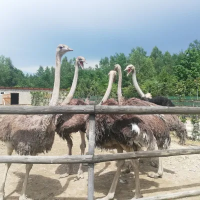 Wildlife parks & animal farmsSavanna Ostrich Farm, LovahyLovahy30 km from Mount IgrovetsSavanna Ostrich Farm is an unexpected find in the Carpathian foothills. It lies in the small Boyko village of Lovahy in the Kalush district, not far from Nebyliv,...
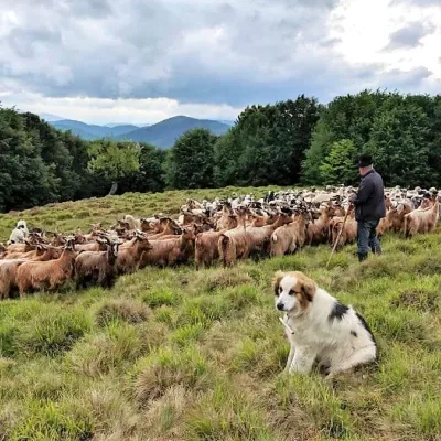 Cheese dairies & pasturesVivcharskyi Khutir Sheep Farm, Synevyrska PolianaSynevyrska Polyana31 km from Mount Igrovets"Vivcharskyi Khutir" ("Shepherd's Homestead") is an ethno-centre and sheep farm in Synevyrska Poliana, near Lake Synevyr.
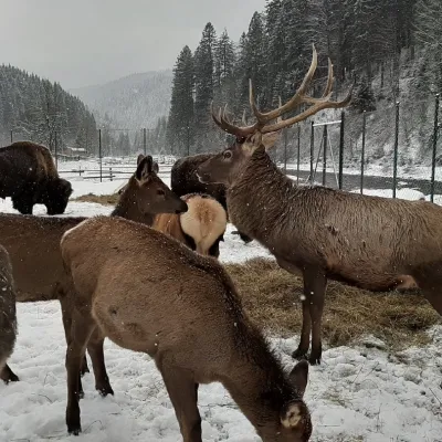 Wildlife parks & animal farmsWolf Valley Eco Park, Synevyrska PolianaSynevyrska Polyana32 km from Mount IgrovetsWolf Valley Eco Park (Dolyna Vovkiv) is a private animal park in Synevyrska Poliana, in the Mizhhiria area of Zakarpattia, where several kinds of wolves, red deer,...
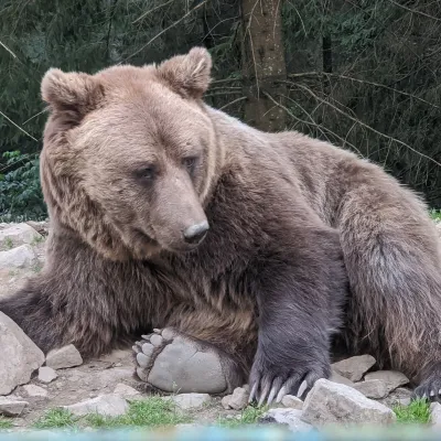 Wildlife parks & animal farmsBrown Bear Rehabilitation Centre, Synevyr National Park, Synevyrska PolianaSynevyrska Polyana33 km from Mount IgrovetsThe Brown Bear Rehabilitation Centre of Synevyr National Nature Park is Ukraine’s largest refuge for bears that have suffered from cruel treatment.
