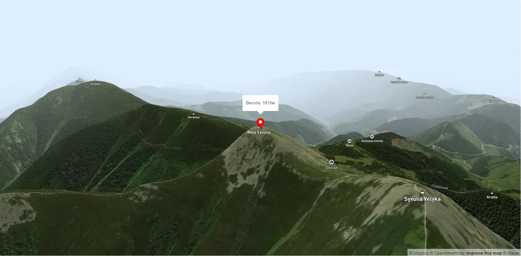
Mount Mala Sivulya
Mount Mala Syvulya, 1815 meters high, is located next to the Velyka Syvulya on the Syvulyansky ridge. It is the second highest mountain in the Gorgan mountain range. It is located on the border of two districts of Ivano-Frankivsk region(Bohorodchany and Rozhnyativ) in the watershed of the upper reaches of the Bystrytsia Solotvynska and Limnytsia rivers.
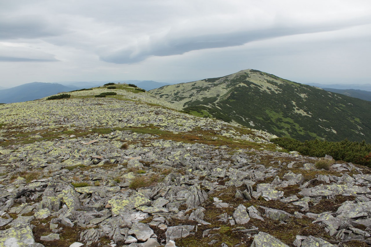
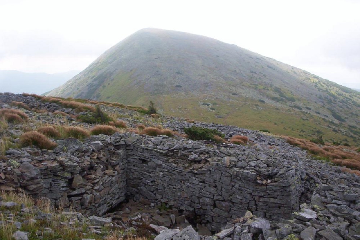
The top slopes of the mountain are completely covered with yellowish-greenish "Horgan" stone placers and numerous scatters of debris, some of which are as large as 3 meters!
The northern slopes of Mala Syvul are very steep and precipitous.
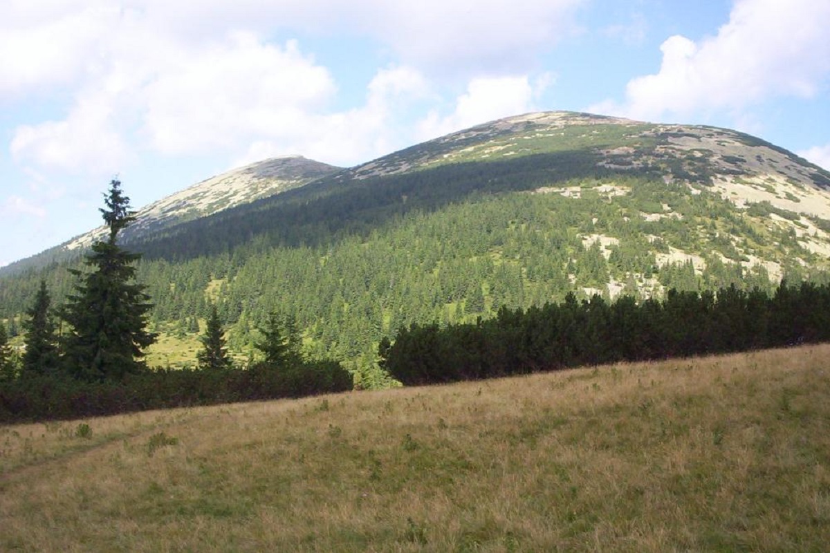
Up to an altitude of 1500-1600 meters above sea level, the mountain is covered with dense centuries-old spruce forests, and above this limit, the slopes are covered with crooked forests formed by many "favorite" fir or mountain pine trees. The open spaces of the peak, unprotected by any vegetation, are densely covered with yellowish lichens characteristic of the area.
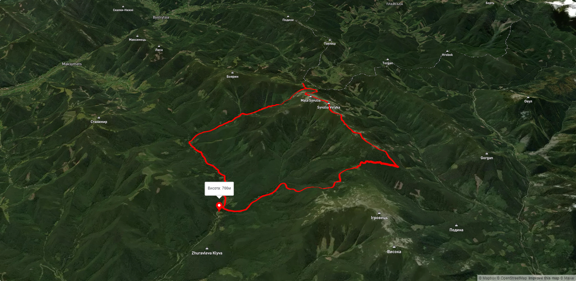
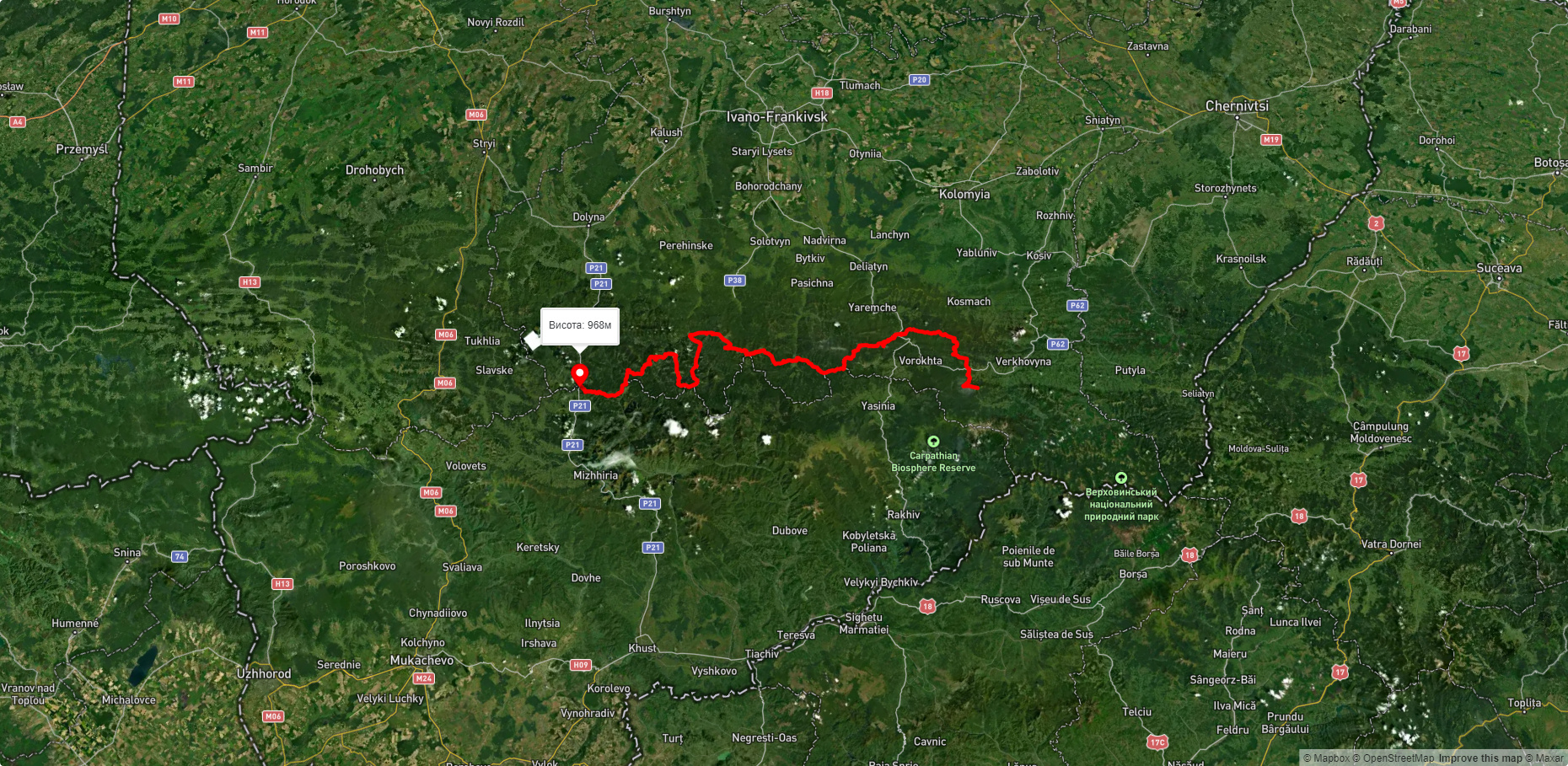
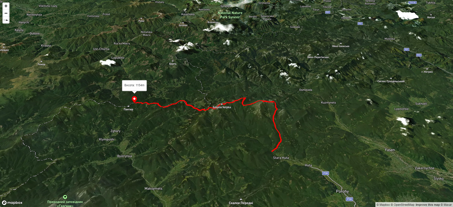
You can climb Mala Syvula from Osmoloda, Bystrytsia, and Stara Huta. However, no one climbs this peak alone - usually it is conquered together with Velyka Syvula, Vysoka, Igrovets, Lopushna, etc.
You can recognize Mala Syvula from afar, as there is a several-meter high geodesic pole at its very top.
Accommodation around Mount Mala Sivulya:


Nearby hiking trails near Mount Mala Sivulya:
Які маршрути проходять повз Mount Mala Sivulya?
Пропонуємо пройти такі туристичні (пішохідні) маршрути через/біля Mount Mala Sivulya: с. Стара Гута, через г. Боревка, г. Лопушна, г. Сивуля, пол. Рущина до с. Стара Гута, Східно-Карпатський туристичний шлях, с. Стара Гута, через г. Висока, г. Ігровець, г. Сивуля до перевалу Малі Рогодзи, с. Стара Гута, через г. Сивуля до с. Бистриця, с. Осмолода, через г. Ігровець, г. Сивуля, с. Бистриця, г. Братківська, г. Руська, г. Догяска до Драгобрату, г. Осмолода, через г. Висока, г. Ігровець, г. Сивуля до с. Стара Гута