Mount End of Gorgan
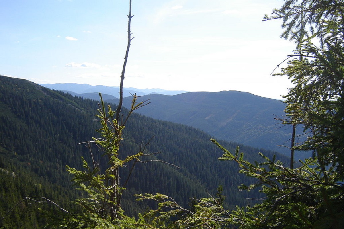
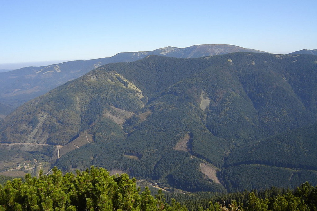
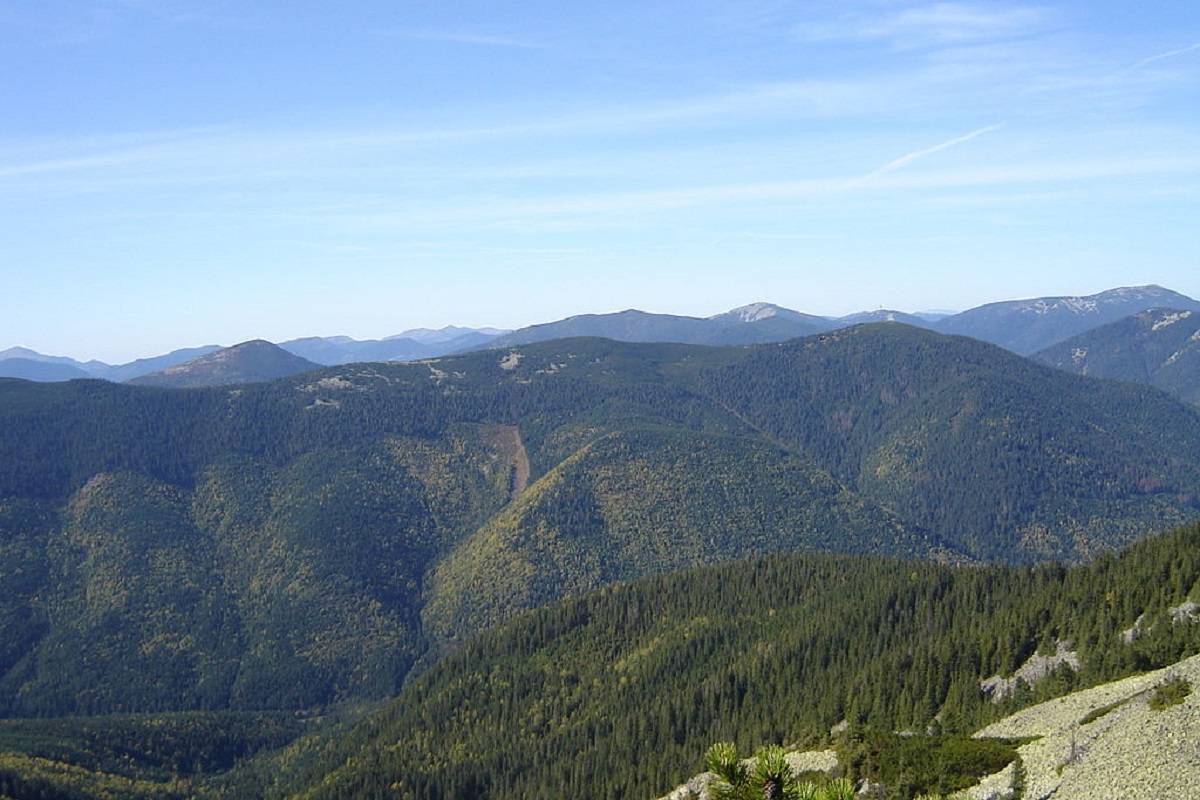
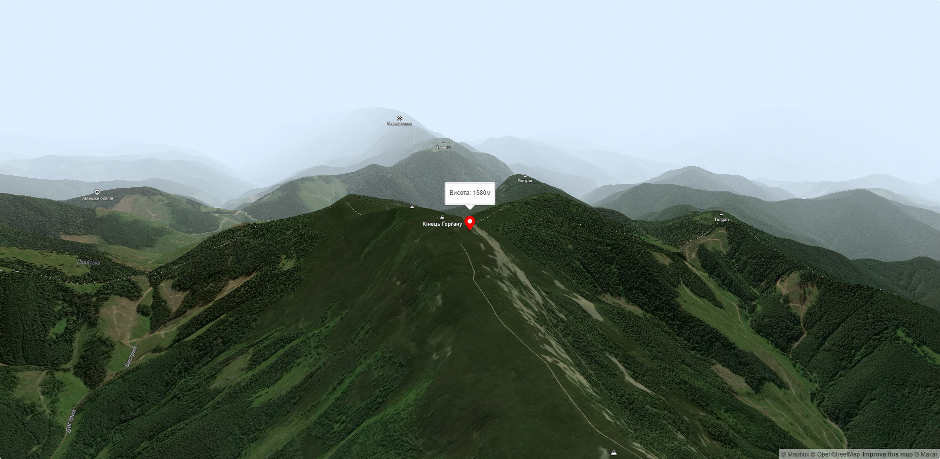
The End of Horgan is a 1599-meter mountain of the Ukrainian Carpathians, which is located on the Horgan Ridge (its highest peak) in the Central Horgan Mountains. It is located in Ivano-Frankivsk region.
The top of the mountain has a flat shape and is covered with dense thickets of alpine pine.
You can climb Mount End of Gorgan by traversing the Gorgan ridge or by walking 400-450 meters in the northwestern direction from the old border post marked on the maps #23.
The most convenient place to start is from the village of Osmoloda, located in the Kalush district of Ivano-Frankivsk region.
Accommodation around Mount End of Gorgan:


Nearby hiking trails near Mount End of Gorgan:
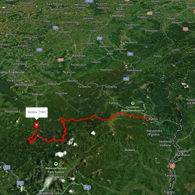
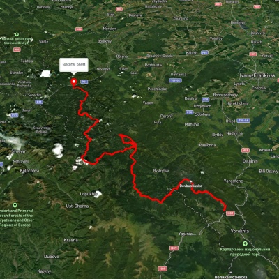
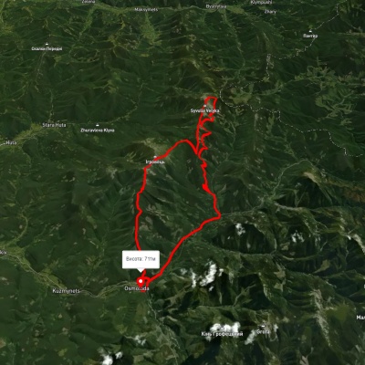
Which trails pass by Mount End of Gorgan?
We suggest these hiking trails through or near Mount End of Gorgan: Rakhiv, via Mount Blyznytsia, Mount Troiaska and Mount Bratkivska to Osmoloda village, Tatariv village, via Mount Syniak, Mount Dovbushanka, Mount Chorna Kleva, Mount Bratkivska, Mount Syvulia, Mount Kinets Horhanu, Mount Popadia and Mount Grofa to Myslivka village, Osmoloda village, via Mount Vysoka, Mount Borevka, Mount Lopushna and Mount Syvulia to Osmoloda village, Rakhiv, via the Svydovets ridge, the Bratkivskyi ridge, the Syvulianskyi ridge and the Ihrovyshche ridge to Osmoloda village, Bystrytsia village, via Mount Boiaryn, Mount Syvulia, Stara Huta village, Mount Vysoka, Mount Ihrovets and Osmoloda village to Kuzmynets village, Rushchyna polonyna – Ust-Chorna