Mount Grofa


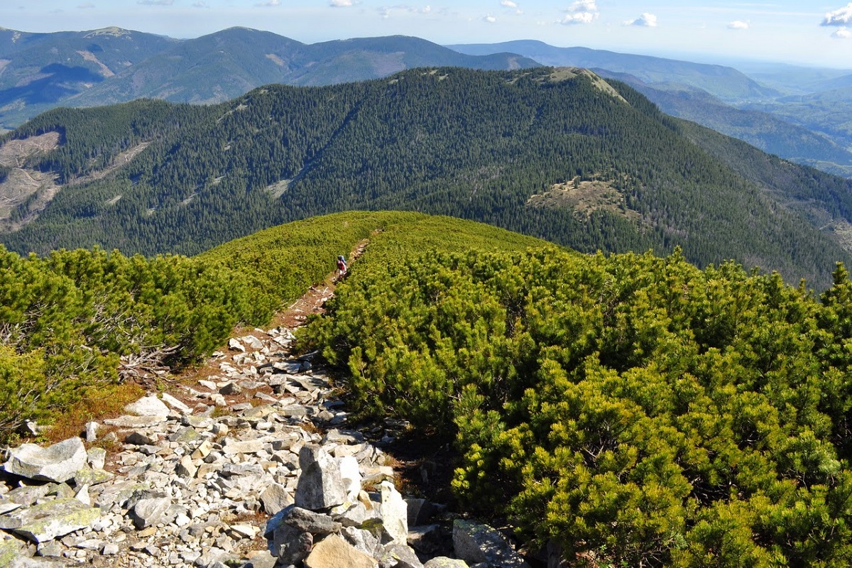
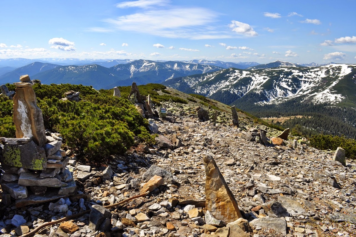
Mount Hrofa (height - 1748 m) is a well-known peak among lovers of the Ukrainian Carpathians, located in the Gorgan Mountains within the landscape reserve of the same name of national importance. It is located in Ivano-Frankivsk region.
Grofa, like some other Gorgan peaks, has a rather beautiful conical shape. Glacial pits (natural bowl-shaped depressions in the summit area) and massive moraine ramparts have been preserved here. Looking at Mount Grofa in the Carpathians, you will think that walking on it is a pleasure. But before you start climbing to the top, you need to know that the best way to get here is by car. Because the village of Osmoloda, near which Grofa stands, is difficult to reach: the roads are broken, and buses run very rarely. And in winter, there is a threat of avalanches, which is warned by appropriate signs and uprooted trees. Therefore, it is better to come here when the snow melts. And snow can remain in the mountains until May.
Up to the line of 1350-1450 meters, the slopes of the mountain are covered with centuries-old spruce forests, above this line - with dense thickets of alpine pine - fir. However, there is a fairly decent path through the bushes to the very top, so you shouldn't worry about getting lost.
Having conquered Grofa, tourists can enjoy beautiful views. Thus, from the top you can see Mount Moloda (in the northwest), Mount Parenky and Mount Velyka Popadya (in the southwest), as well as Igrovets and Velyka Syvula in the east and southeast, respectively. There is something fascinating about walking along the trails of Grofa. Here you feel alone with nature, and no one will disturb your peace, because there are few tourists here. There are practically no steep descents and ascents. You just walk through the forest and enjoy the mountain nature.
If you get a little tired, there is a tourist shelter down in the Plisce meadow. Here you can warm up and spend the night, and in the morning wash your face with cold spring water. By the way, you don't have to pay for a place in the shelter. You will be paid for leaving a clean place behind and sharing some things you need in the mountains, such as candles, medicines, extra firewood. It may happen that there is no free space in the shelter. You can pitch a tent not far away, in a clearing.
The nearest settlement, as well as the starting point of the ascent to Grofa, is the village of Osmoloda.
The legends of Grofa say thatonce upon a time there was a Mr. Grof (count). He was very fond of the wife of a local priest. One day he kidnapped her. Whether it was her wish or not, history is silent about this. They didn't get very far. First, he lost his horse near the mountain that is now called the Hrofetskyi Horse, and the count died near the modern-day Hrofa. Either out of great shame (or love), the captive committed suicide near the top of the mountain called Velyka Popadia.
It is worth noting that getting to Osmoloda by public transportation is quite a quest. This is because the village is quite far from the main highways and the road here is extremely bad. In addition, there are no direct bus services to Osmoloda from the regional center. Therefore, the best solution is either to rent a car or to get there on your own - this way you can save not only time, but also nerves and even health.
The summit at a glance
- Elevation: 1748 m above sea level
- Range: Gorgany
- Nearest settlement: Osmoloda
- Routes over the summit on Karpaty.rocks: 14
- Best time: June–September; in winter only with experience and gear (avalanche danger is possible)
Routes to the summit
The routes over the summit most viewed by Karpaty.rocks readers. Length and ascent come from our track and a digital elevation model, time from Naismith's rule (without stops).
- Osmoloda village – Mount Grofa — 10.9 km, ascent 1,014 m, ≈4.5 h of walking
- Osmoloda village – Mount Grofa – Osmoloda village — 13.4 km, ascent 933 m, ≈5 h of walking, loop
- Eco-trail around Mount Grofa — 13.6 km, ascent 302 m, ≈4 h of walking, loop
- Osmoloda – Kotelets – Plistse – Mount Grofa — 9.8 km, ascent 985 m, ≈4 h of walking
All routes over the summit (14)
Weather and safety
The summit is above the tree line: fog, strong wind and thunderstorms are possible even in summer, and the weather can change within hours. Check the forecast before you set off, take water, a rain jacket and a warm layer, and plan to reach the top before midday. Summit weather forecast.
In an emergency call 101 or 112. Carpathian mountain rescue contacts.
FAQ — Grofa
Grofa: how high is the summit?
It rises to 1748 m above sea level and belongs to the Gorgany range.
Grofa: how long does it take to reach the summit?
The shortest of the popular routes is “Eco-trail around Mount Grofa”: 13.6 km with 302 m of ascent, about 4 h of walking without stops. Allow extra time for rests, photos and the weather.
Grofa: when is the best time to go?
June to September, when the paths are free of snow. In winter the ascent is only for experienced hikers with avalanche gear and after checking the forecast.
Grofa: where to stay nearby?
The nearest settlement in our data is Osmoloda. Places to stay nearby: hotels, guesthouses and cottages.
Video
 На вершині гори Ґрофа в Ґорґанах ( Карпати) 10вересня 2016ThePolonyna
Location on the map
Water and shelter nearby
- Spring on Polonyna Plistse1 km · Not verified · 1 463 m
- Spring on Polonyna Plistse (3)1.1 km · Not verified · 1 414 m
- Spring below Mount Hrofa (2)1.1 km · Not verified · 1 358 m
- Hut on Polonyna Plistse1.1 km · Standing · 1 445 m
- Spring on Polonyna Plistse (2)1.1 km · Not verified · 1 452 m
- Spring below Mount Kin-Hrofetskyi (2)1.2 km · Not verified · 1 285 m
- Drinking water below Mount Kin-Hrofetskyi (2)1.2 km · Not verified · 1 220 m
- Hut below Mount Kin-Hrofetskyi1.2 km · Standing · 1 286 m
- Spring below Mount Hrofa1.3 km · Not verified · 1 200 m
- Spring below Mount Hrofa (3)1.3 km · Not verified · 1 148 m
- Drinking water below Mount Kin-Hrofetskyi1.4 km · Not verified · 1 133 m
- Spring below Mount Kin-Hrofetskyi (3)1.4 km · Not verified · 1 274 m
- Spring below Mount Kin-Hrofetskyi1.5 km · Not verified · 1 108 m
- Spring below Mount Parenky1.9 km · Weak flow · 1 407 m
- Spring below Mount Parenky (2)2.4 km · Not verified · 1 267 m
Comments
Places to stay nearby
All stays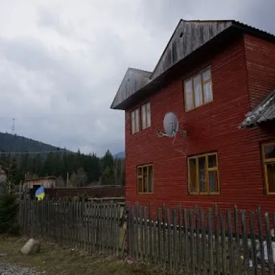 HomesteadHomestead "Arnika" OsmolodaOsmoloda7.1 km from Mount GrofaSaunaBBQKitchenNearby: Trout farm in Osmoloda 1.3 kmMt Kin Grofetsky 5.2 km17 trails
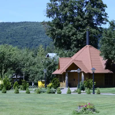 HomesteadComplex "Hants" OsmolodaOsmoloda7.5 km from Mount GrofaHot tubPoolSaunaNearby: Trout farm in Osmoloda 1000 mMt Kin Grofetsky 5.6 km17 trails
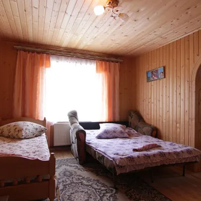 Homestead"U Davidka i Matviika"Osmoloda8.7 km from Mount GrofaFireplaceKitchenParkingNearby: Mt Studenets 3.8 kmMt Petros Gorgansky 4.6 km5 trails
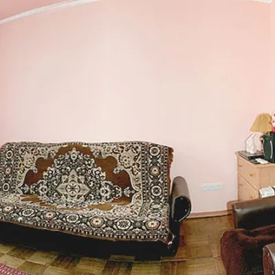 HomesteadHomestead "Faini Karpaty" OsmolodaOsmoloda8.7 km from Mount GrofaSaunaBBQKitchenNearby: Mt Studenets 3.8 kmMt Petros Gorgansky 4.6 km5 trails
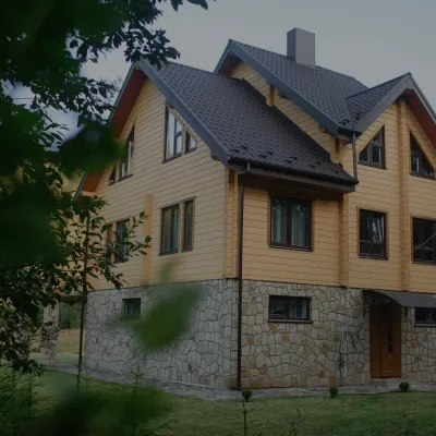 HomesteadHomestead "Albertville" OsmolodaOsmoloda8.9 km from Mount GrofaFireplaceKitchenParkingNearby: Mt Studenets 4.0 kmMt Petros Gorgansky 4.8 km5 trails
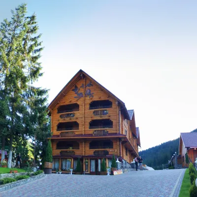 HotelHotel and Restaurant Complex "Arnika" Synevyrska PolyanaSynevyrska Polyana17 km from Mount GrofaHot tubPoolSaunaNearby: Ozerna Mountain 2.9 kmPolonyna Hycha 8.5 km8 trails
Trails via Mount Grofa
All 14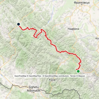 HardMulti-dayMarkedEast Carpathian Tourist TrailElevation profile643–1 836 m278.1 kmascent 8 455 m
 HardMulti-dayMyslivka village to Mizhhiriavia Mount Moloda, Mount Popadia +3Elevation profile436–1 748 m117 kmascent 6 587 m
 ModerateOne-dayMarkedOsmoloda village Mount GrofaElevation profile715–1 748 m10.9 kmascent 1 033 m≈ 5 h walking
Nearby attractions
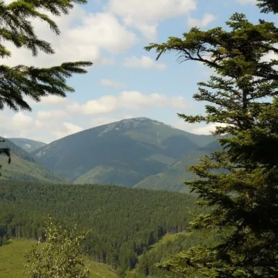 NatureGrofa landscape reserveOsmolodaunder 1 km from Mount GrofaIf there is a river on the reserve's territory that is considered one of the cleanest in Europe, it says a lot about the area.
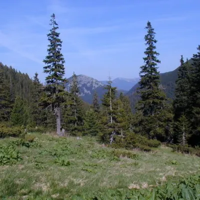 Mountain meadowPolonyna PlisceOsmolodaunder 1 km from Mount GrofaThere are many mountain meadows in the Carpathians, but Plitse stands out from the rest. The "feature" of the Plitse meadow is that the first tourist shelter was built...
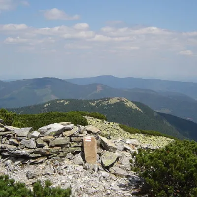 PeakMount Kin GrofetskyOsmolodaaltitude 1 552 m · Gorgany range2.1 km from Mount Grofa9 trails to the topMount Kin Grofetskyi is a 1,552-meter peak of the Ukrainian Carpathians. It is located in the western part of the Gorgan mountain range in the Rozhnyativ district of...
Craft nearby
All craft places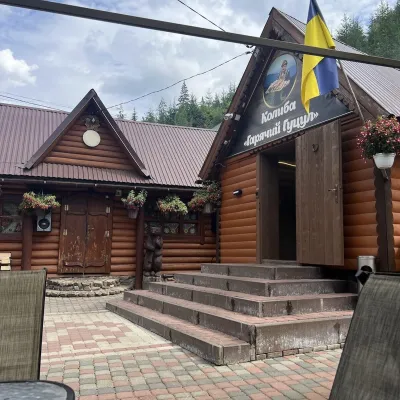 Koliby & Hutsul cuisineKolyba “Hariachyi Hutsul”, Synevyrska PolianaSynevyrska Polyana17 km from Mount GrofaKolyba “Hariachyi Hutsul” (“The Hot Hutsul”) is a cosy kolyba-museum in Synevyrska Poliana, on the road to Lake Synevyr.
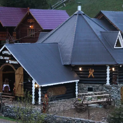 Koliby & Hutsul cuisineKolyba “Na Detsu do Tsimbora”, Synevyrska PolianaSynevyrska Polyana17 km from Mount GrofaNa Detsu do Tsimbora is a large kolyba restaurant in Synevyrska Poliana, right where the road starts climbing to Lake Synevyr.
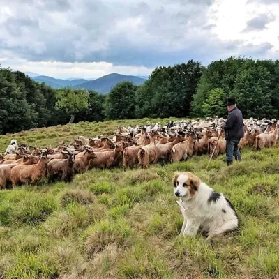 Cheese dairies & pasturesVivcharskyi Khutir Sheep Farm, Synevyrska PolianaSynevyrska Polyana19 km from Mount Grofa"Vivcharskyi Khutir" ("Shepherd's Homestead") is an ethno-centre and sheep farm in Synevyrska Poliana, near Lake Synevyr.
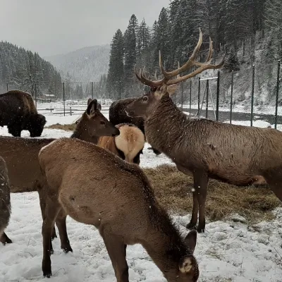 Wildlife parks & animal farmsWolf Valley Eco Park, Synevyrska PolianaSynevyrska Polyana20 km from Mount GrofaWolf Valley Eco Park (Dolyna Vovkiv) is a private animal park in Synevyrska Poliana, in the Mizhhiria area of Zakarpattia, where several kinds of wolves, red deer,...
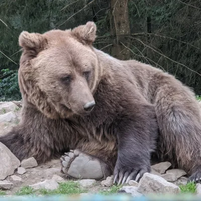 Wildlife parks & animal farmsBrown Bear Rehabilitation Centre, Synevyr National Park, Synevyrska PolianaSynevyrska Polyana22 km from Mount GrofaThe Brown Bear Rehabilitation Centre of Synevyr National Nature Park is Ukraine’s largest refuge for bears that have suffered from cruel treatment.
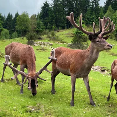 Wildlife parks & animal farmsBioPark Synevyr – Africa in the Carpathians, Synevyrska PolianaSynevyrska Polyana22 km from Mount GrofaBioPark Synevyr – Africa in the Carpathians is a hands-on animal park in the Rabachynka area near Synevyrska Poliana, in the valley of the Chorna river.
