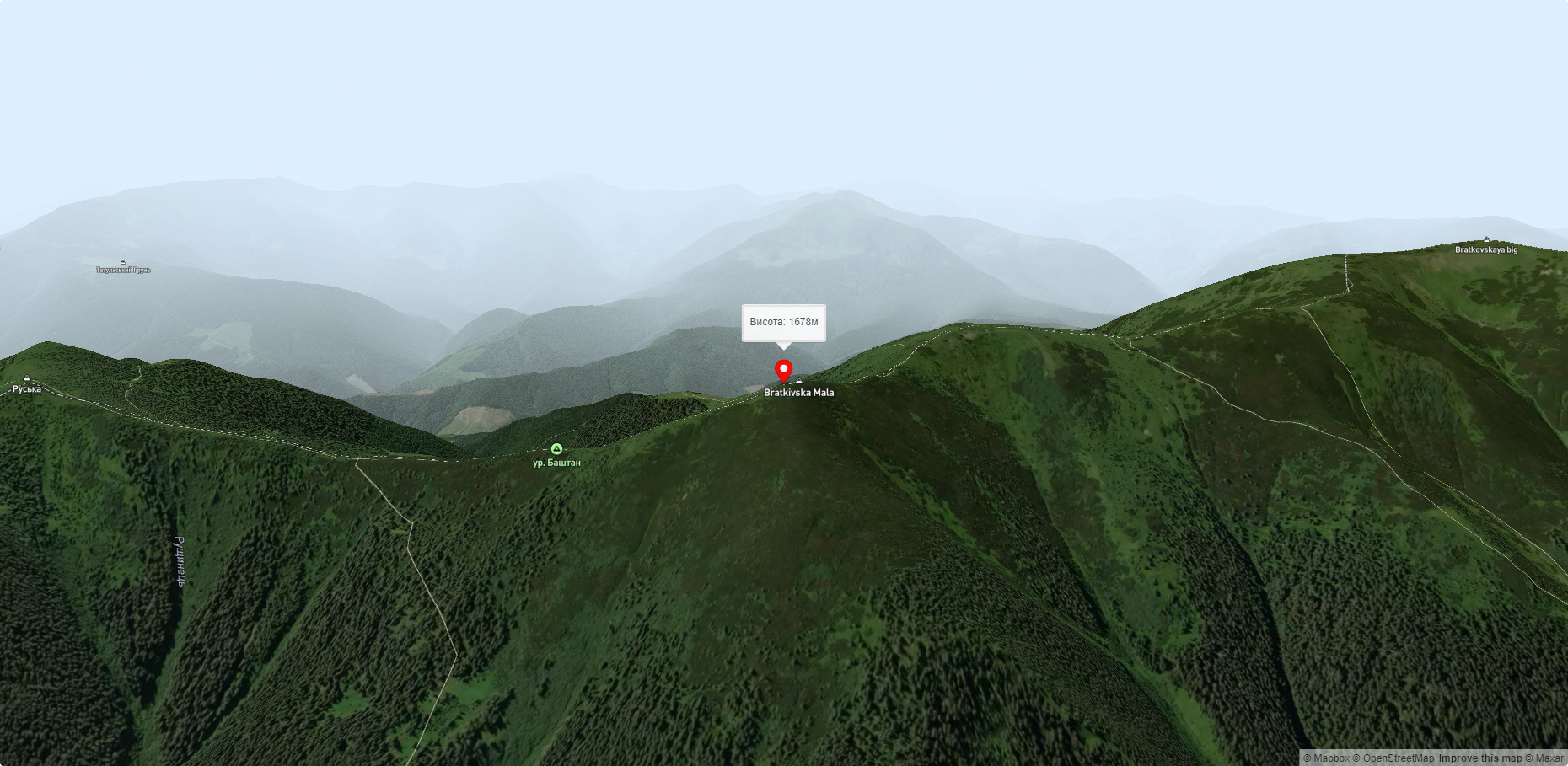
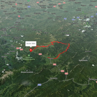
Mount Ruska
Ruska is a 1,678-meter peak (according to other sources, the height of the mountain is 1,650 meters) located in the Gorgan mountain range of the Ukrainian Carpathians. It is located on the border of two regions - Zakarpattia and Ivano-Frankivsk.
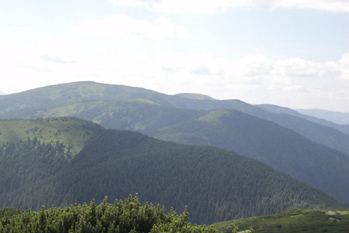
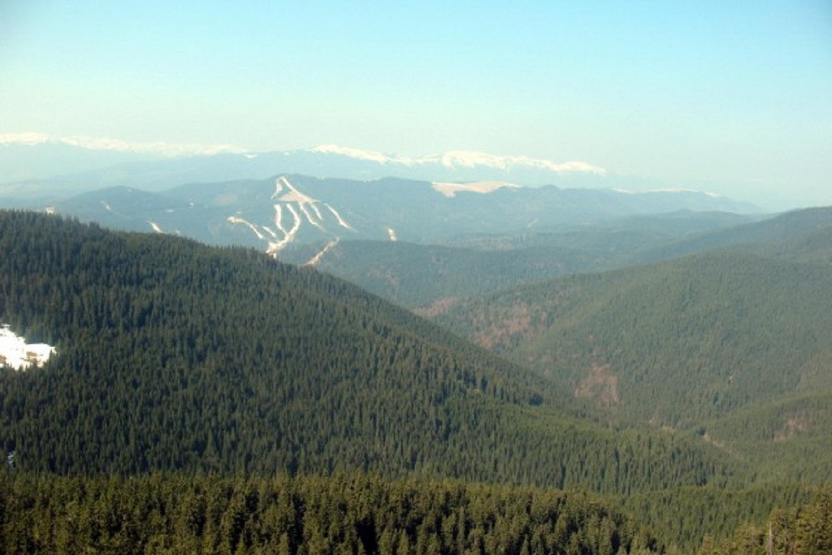
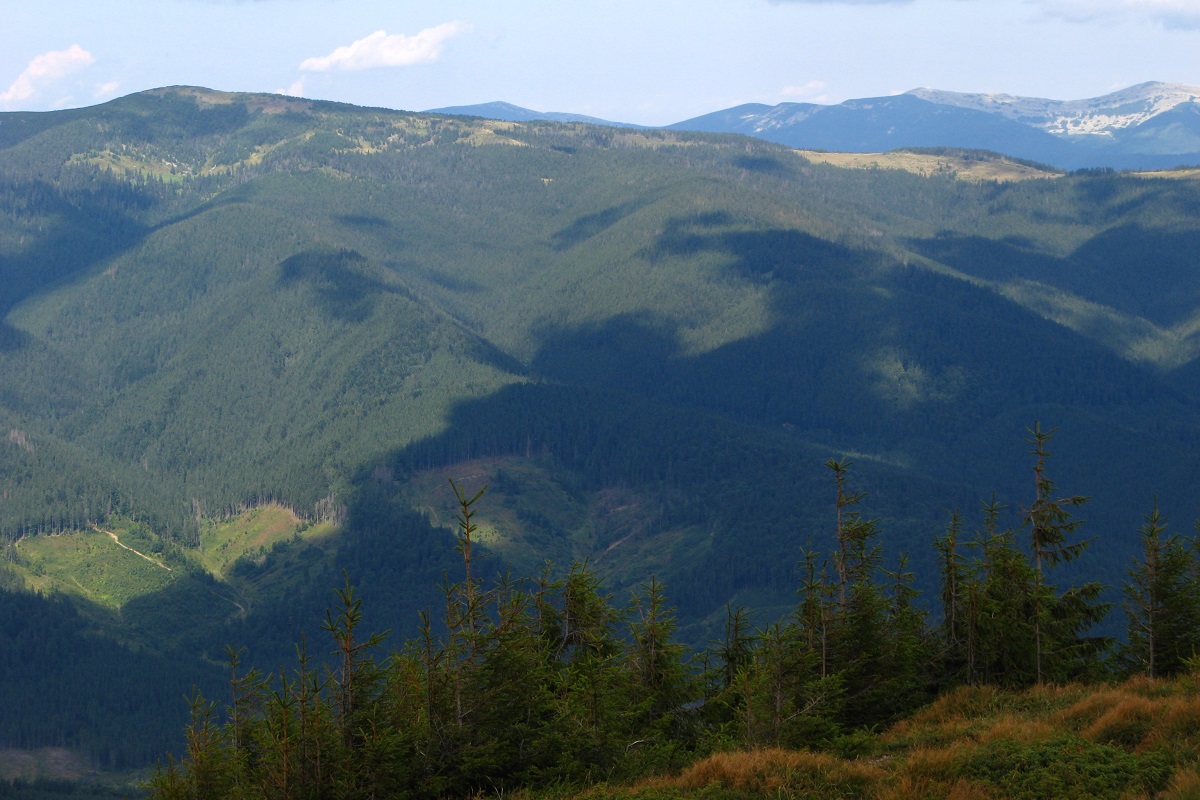
The foothills and slopes of Ruska up to 1200-1400 meters are covered with ancient forests, above this mark - with alpine pine (zherepa) forest, numerous stone scree and placers.
In the northern direction, the slopes of the mountain are very steep and difficult to pass, while the southern slopes are gentler, gradually turning into a small saddle connecting to the 1649-meter local peak.
Ruska Mountain is located on the picturesque Bratkivsky ridge between two peaks: Mala Bratkivska Mountain in the northern direction and Chorna Kleva in the eastern direction.
The nearest settlement is the village of Chorna Tysa in Rakhiv district, Zakarpattia region.
Accommodation around Mount Ruska:


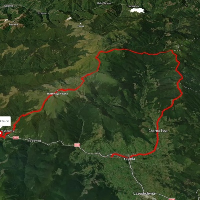
Nearby hiking trails near Mount Ruska:

Які маршрути проходять повз Mount Ruska?
Пропонуємо пройти такі туристичні (пішохідні) маршрути через/біля Mount Ruska: смт. Ясіня, через г. Чорна Клева, г. Братківська, г. Догяска, г. Близниця до с. Кваси, с. Кваси, через г. Близниця, г. Братківська, г. Чорна Клева, с. Чорна Тиса до смт. Ясіня, с. Бистриця, через г. Гропа, г. Братківська, г. Чорна Клева до с. Поляниця, с. Бистриця, через г. Чорна Клева, г. Руська, г. Братківська до с. Бистриця, с. Стара Гута, через г. Сивуля, пер. Легіонів, г. Братківська, г. Чорна Клева, г. Плоска, г. Довга до с. Поляниця, с. Бистриця, через с. Климпуші, г. Гропа, г. Братківська, г. Руська, г. Чорна Клева до с. Бистриця